1 of 8

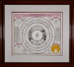
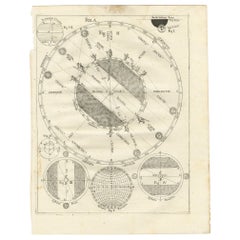
Andreas Cellarius
Solis Circa Orbem Terrarum Spiralis Revolution

$575List Price

You May Also Like

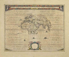
Orbis Terrarum - Etching by Johannes Janssonius - 1650s

Orbis Terrarum - Etching by Johannes Janssonius - 1650s

By Johannes Janssonius

Located in Roma, IT

Antique Map - Orbis Terrarum is an antique map realized in 1650 by Johannes Janssonius (1588-1664). The Map is Hand-colored etching, with coeval watercoloring. Good conditions with...

Category

1650s Modern Figurative Prints

Materials

Etching

Antique Map of the Eastern Hemisphere by Valk & Chenk '1708'

Antique Map of the Eastern Hemisphere by Valk & Chenk '1708'

$3,978Sale Price|25% Off

H 20.67 in W 24.41 in D 0.02 in

Antique Map of the Eastern Hemisphere by Valk & Chenk '1708'

Located in Langweer, NL

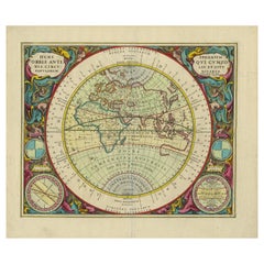
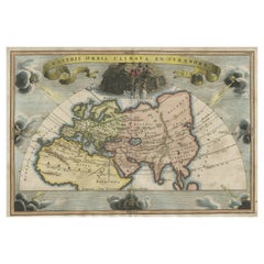
Antique map titled 'Hemispherium Orbis Antiqui, Cumzonis Circulis, Et Sity populorum Diverso'. Decorative example of Andreas Cellarius's map of the Eastern Hemisphere, illustrating with climatic zones ranging from Frigida Borealis to Torrida, with planetary details superimposed. The elaborate border includes fine scrollwork, numerous putti, and additional diagrams showing armillary spheres and climatic zones. Andreas Cellarius was born in 1596 in Neuhausen and educated in Heidelberg. He emigrated to Holland in the early 17th century and 1637 moved to Hoorn, where he became the rector of the Latin School. Cellarius' best known work is his Harmonia Macrocosmica, first issued in 1660 by Jan Jansson, as a supplement to Jansson's Atlas Novus. The work consists of a series of Celestial Charts...

Category

Antique Early 18th Century Dutch Maps

Materials

Paper

World Map, Romantic Color Etching by Daniel Derveaux

World Map, Romantic Color Etching by Daniel Derveaux

Located in Long Island City, NY

Daniel Derveaux, French (1914 - 2010) - World Map, Medium: Color Etching, Image Size: 13.5 x 18 inches, Size: 15 x 19.5 in. (38.1 x 49.53 cm), Frame Size: 16.5 x 21 inches

Category

Late 20th Century Romantic Landscape Prints

Materials

Etching

Antique Map of the World in Hemispheres by Keizer & de Lat, 1788

Antique Map of the World in Hemispheres by Keizer & de Lat, 1788

$471Sale Price|20% Off

H 8.08 in W 11.03 in D 0.02 in

Antique Map of the World in Hemispheres by Keizer & de Lat, 1788

Located in Langweer, NL

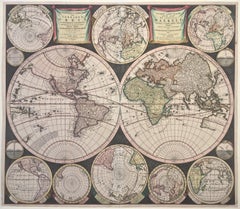
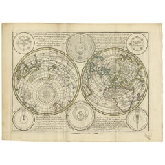
Antique map titled 'Schuine Ronde Aard-Bolle waar van 't Middelpunt is Amsterdam (..)'. Interesting double hemisphere world map on polar projections. In North America, there is a large Island of California. Australia and New Zealand are shown with incomplete coastlines. The map contains six smaller astronomical...

Category

Antique Late 18th Century Maps

Materials

Paper

New Map of the Terraqueous Globe - WORLD MAP - CALIFORNIA AS AN ISLAND

New Map of the Terraqueous Globe - WORLD MAP - CALIFORNIA AS AN ISLAND

By Edward Wells

Located in Santa Monica, CA

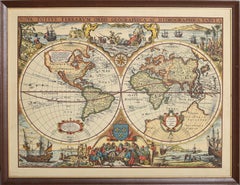
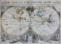
EDWARD WELLS (British 1667- 1727) A NEW MAP of the TERRAQUEOUS GLOBE - according to the latest Discoveries and most general Divisions of it into CONTINENTS and OCEANS, 1700-01 (Shirley 609) Engraved by Michael Burghers, Oxford. Hand-colored, Platemark 14 1/4 x 20 1/8 inches. Central cartouche flanked by figures representing the continents with dedication to William, Duke of Gloucester...

Category

Early 1700s Old Masters Landscape Prints

Materials

Engraving

Antique Map Illustrating Solar Eclipses by Scherer, C.1703

Antique Map Illustrating Solar Eclipses by Scherer, C.1703

$121Sale Price|53% Off

H 10.63 in W 8.47 in D 0 in

Antique Map Illustrating Solar Eclipses by Scherer, C.1703

Located in Langweer, NL

Antique map of an hemisphere and several figures illustrating the position of the earth, moon and sun. Printed for Scherer's 'Atlas Novus' (1702-1710). Artists and Engravers: Heinrich Scherer (1628-1704) was a Professor of Hebrew, Mathematics and Ethics at the University of Dillingen until about 1680. Thereafter he obtained important positions as Official Tutor to the Royal Princes...

Category

Antique 18th Century Maps

Materials

Paper