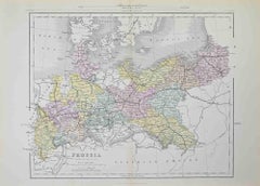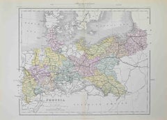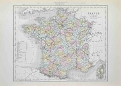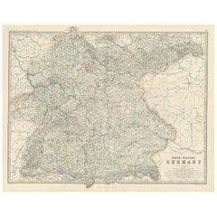
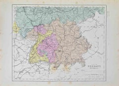
South Germany - Lithograph - 1872
Located in Roma, IT
South Germany is a map realized by an artist during the 19th century. Lithograph, printed in 1872 by Milliam Mackenzie, London. Good condition.
1870s Modern Figurative Prints
Lithograph
1872

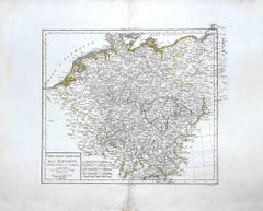
Map of Germany - Original Etching - 1820
Located in Roma, IT
Map of Germany is an Original Etching realized by an unknown artist of 19th century in 1820. Very good condition on two sheets of white paper joined at...
Etching

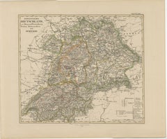
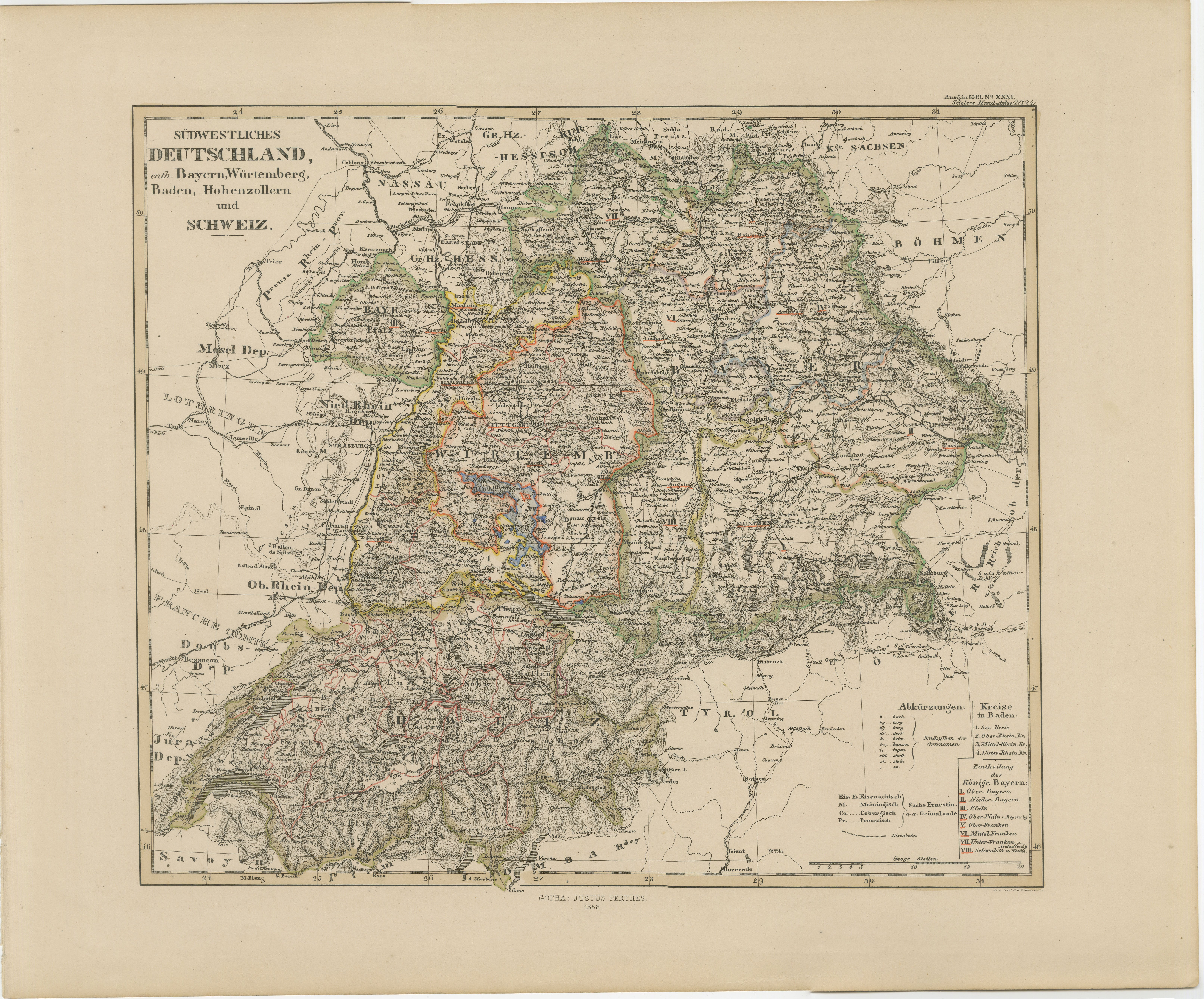
1858 Map of Southwestern Germany & Switzerland – Bavaria, Württemberg, Baden
Located in Langweer, NL
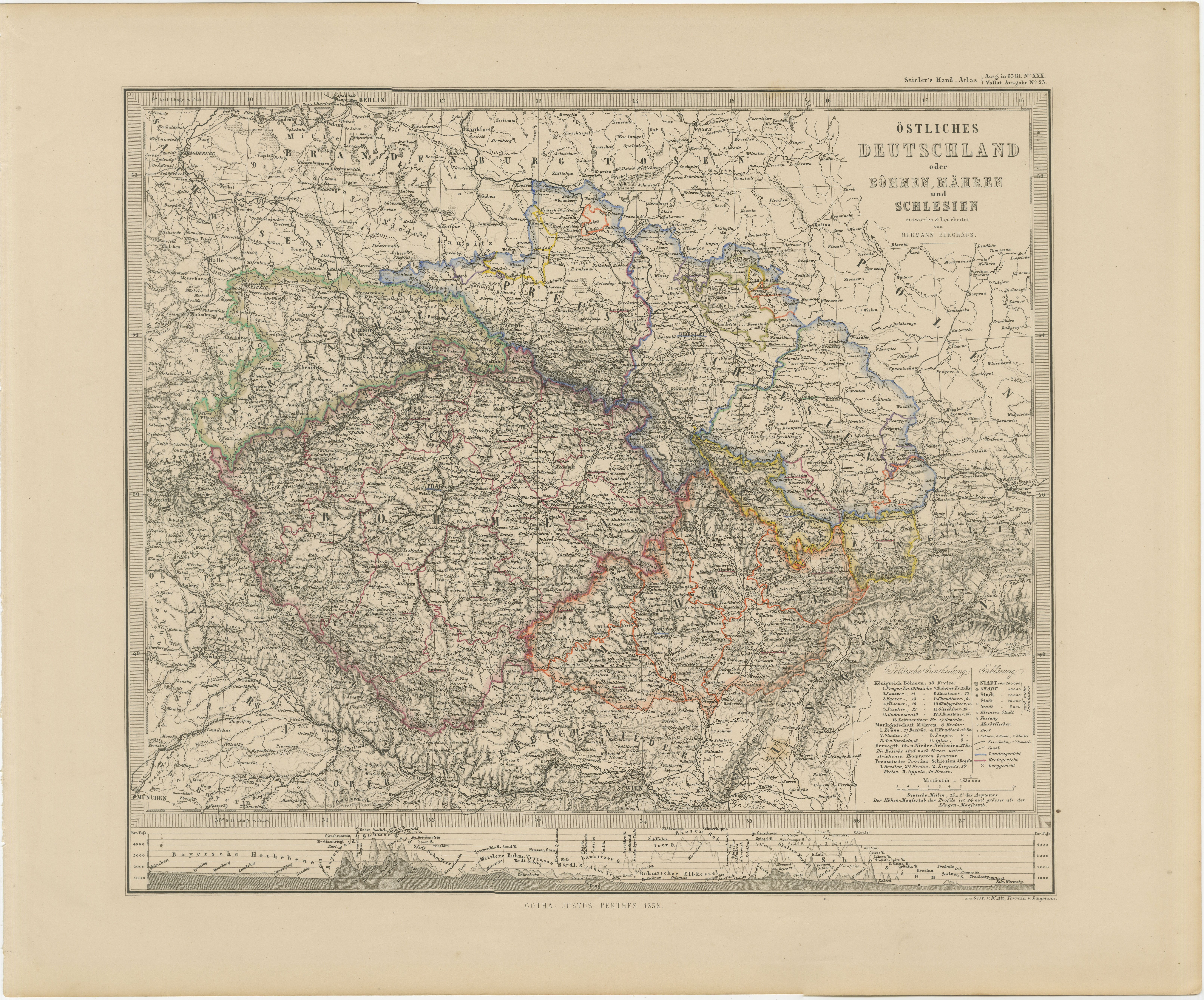
Antique Map of Southwestern Germany & Switzerland – Bavaria, Württemberg, Baden, 1858 Detailed antique map titled "Südwestliches Deutschland mit Bayern, Würtemberg, Baden, Hohenzoll...
Paper

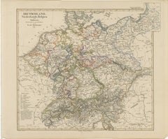
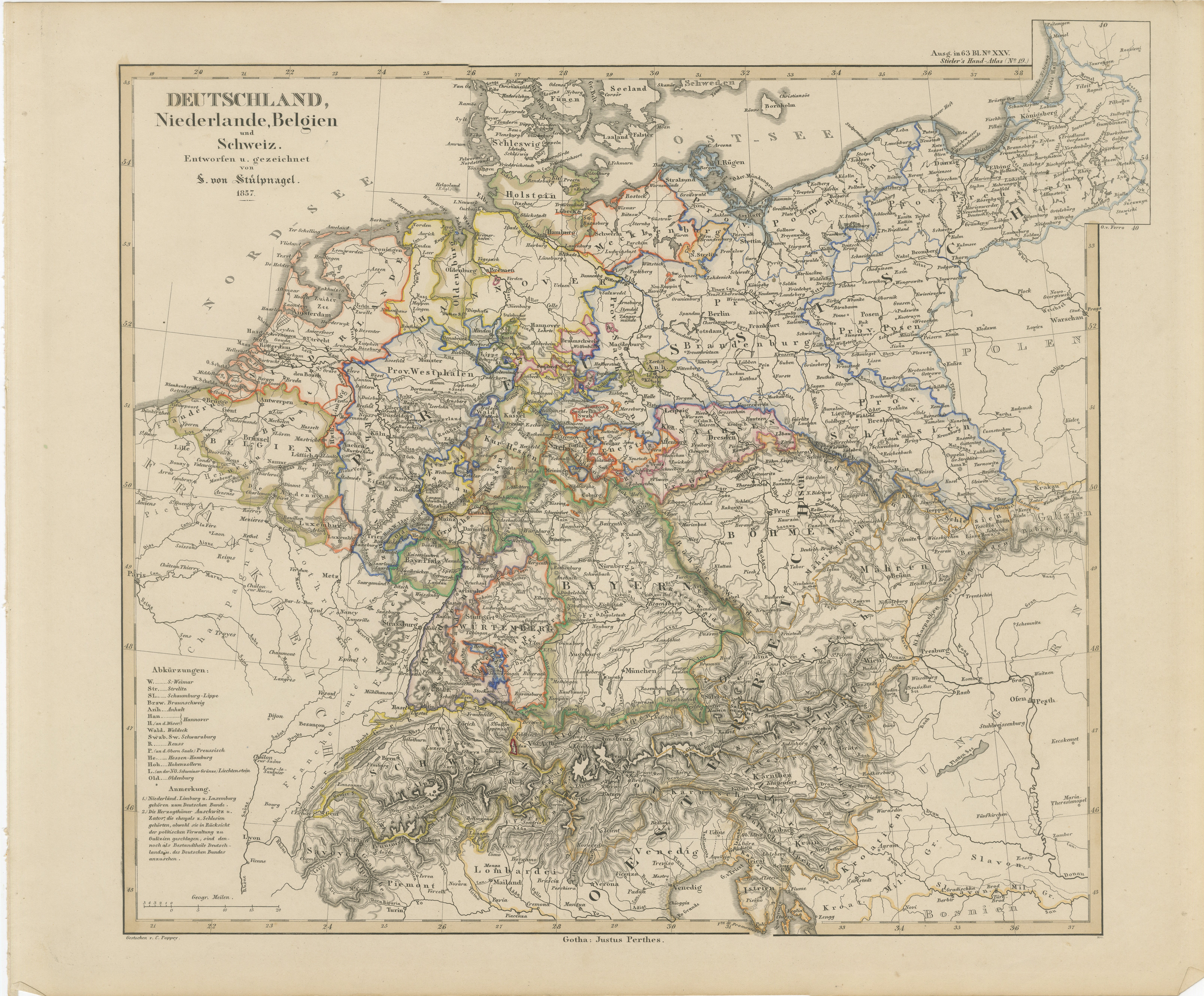
Antique Map of Germany, Netherlands, Belgium & Switzerland – Stülpnagel, 1857
Located in Langweer, NL
Antique Map of Germany, Netherlands, Belgium & Switzerland – Stülpnagel, 1857 Fine mid-19th century map of Central Europe titled "Deutschland, Niederlande, Belgien, Schweiz", drawn ...
Paper

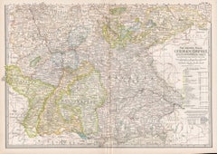
German Empire, Southwestern Part. Century Atlas antique vintage map
Located in Melbourne, Victoria
'The Century Atlas. German Empire, Southwestern Part' Original antique map, 1903. Central fold as issued. Map name and number printed on the reverse co...
Lithograph

Antique Map of South-Western Germany by A.K. Johnston, 1865
Located in Langweer, NL
Antique map titled 'South-Western Germany'. This map originates from the ‘Royal Atlas of Modern Geography’ by Alexander Keith Johnston. Published by William Blackwood and Sons, Edinb...
Paper

German Empire, Northern Part. Century Atlas antique vintage map
Located in Melbourne, Victoria
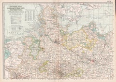
'The Century Atlas. German Empire, Northern Part.' Original antique map, 1903. Central fold as issued. Map name and number printed on the reverse corne...
Lithograph

Germany & Central Europe – Antique 1865 Map by Andriveau-Goujon, Paris
Located in Langweer, NL
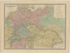
Antique Map of Germany and Central Europe – “Allemagne et Europe Centrale” by Andriveau-Goujon, 1865 This large, finely engraved map titled “Allemagne et Europe Centrale” was publis...
Paper