Want more images or videos?
Request additional images or videos from the seller
1 of 9

Christoph Weigel
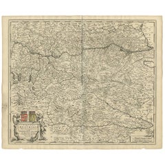
18th-century Antique Map of Austria and Slovenia

$450
£337.16
€393
CA$633.38
A$644.72
CHF 366.99
MX$7,782.23
NOK 4,279.26
SEK 4,330.85
DKK 2,937.91

About the Item

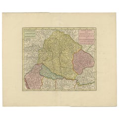
Christoph Weigel (1654-1725) Map of Austria and Slovenia, 1719. Hand-colored engraving on laid paper. Plate measures 15.25 x 12.75 inches. Framed measurement: 19 x 21 inches. Johann Christoph Weigel, known as Christoph Weigel the Elder (9 November 1654 – 5 February 1725), was a German engraver, art dealer and publisher. He was born at Redwitz, Free imperial city of Eger in Egerland, and died in Nuremberg, aged 70. Christoph Weigel the Elder learned the art of engraving in Augsburg. After various positions, including in Vienna and Frankfurt am Main, he acquired citizenship in Nuremberg in 1698. Weigel's first work from his own, successfully run publishing house in Nuremberg was Bilderlust from 1698. Around 70 books and a series of engravings were published by this publishing house during his lifetime. One of his most important works is the Register of Estates from 1698. In it, Weigel described and described more than two hundred types of crafts and services, each illustrated by a copper engraving, based on life. Weigel visited almost all of the workshops himself, drew and observed on-site, coordinated the content of his articles with the master craftsmen, and copied important equipment from the original. Another important work by Weigel is the new edition of the Coat of Arms book by Johann Siebmacher. The work was published under the title The Great and Complete, initially Siebmachers Wappenbuch, then Fürstischen and Helmerische / and now Weigelian Coat of Arms Book. In six parts with coats of arms, shields, helmets and jewels, numbering 14,767, prefigured in copper plates. It was first published by his widow with Lorenz Bieling in Nuremberg; In 1734, it was published in two volumes by the company's publisher. Weigel worked particularly brilliantly in the scraping and line manner. He was the first engraver to use a type of machine for the underground. In Nuremberg, he worked very closely with the imperial geographer and cartographer Johann Baptist Homann (1664–1724), when producing his maps. His younger brother Johann Christoph Weigel ran an art shop in Nuremberg around the same time and was also very successful. Weigel's publishing house was continued after 1725 by his widow, who published a number of her late husband's works, for example, his coat of arms book.
  • Creator:
    Christoph Weigel (German)
  • Dimensions:
    Height: 19 in (48.26 cm)Width: 21 in (53.34 cm)Depth: 0.5 in (1.27 cm)
  • Medium:
  • Period:
    1710-1719
  • Condition:
  • Gallery Location:
    Wilton Manors, FL
  • Reference Number:
    1stDibs: LU245218326822

More From This Seller

View All
L'Isle de France map

L'Isle de France map

By Cornelis Danckerts II

Located in Wilton Manors, FL

Gouvernement general de l'Isle de France : ou sont la France, le Valois, Soissonnois, le Beauvaisis, Laonnois, la Brie, Francoise, l'Hurepoix noyonnois et les comtes de Senlis et de ...

Category

17th Century More Prints

Materials

Laid Paper, Engraving

Provence #7 (Provence France Landscape)

Provence #7 (Provence France Landscape)

By Roger Mühl

Located in Wilton Manors, FL

Roger Muhl (1929-2008) Provence #7, 1986. Signed and numbered in pencil by the artist, lower margins. Artwork is in excellent condition with no damage or conservation. Frame shows ...

Category

1980s Abstract Landscape Prints

Materials

Lithograph

16th-century Traditional Historical Polish Male Dress Peasant Attire

16th-century Traditional Historical Polish Male Dress Peasant Attire

Located in Wilton Manors, FL

Boleslaw Cybis (1895-1957). Polish Peasant, 16th-century Attire, 1939. Conte and gouache with pencil on paper, sheet measures 18 x 23 inches. Signed by the artist and dated bottom...

Category

1930s Art Deco Portrait Drawings and Watercolors

Materials

Paper, Crayon, Gouache, Pencil

16th-century Traditional Historical Polish Male Dress Attire

16th-century Traditional Historical Polish Male Dress Attire

Located in Wilton Manors, FL

Boleslaw Cybis (1895-1957). Polish Merchant, 16th-century Attire, 1939. Conte and gouache with pencil on paper, sheet measures 18 x 23 inches. Signed by the artist and dated botto...

Category

1930s Art Deco Portrait Drawings and Watercolors

Materials

Paper, Gouache, Pencil, Crayon

A Garden for Orpheus

A Garden for Orpheus

By (after) Paul Klee

Located in Wilton Manors, FL

Paul Klee A Garden for Orpheus, ca. 1950s Lithograph on Arches paper, sheet measuring 19.75 x 25.5 inches. Unframed. Minor acidification of paper where old matting covered paper...

Category

Mid-20th Century Abstract Abstract Prints

Materials

Lithograph

Dubrovnik Cityscape Croatian Landscape

Dubrovnik Cityscape Croatian Landscape

Located in Wilton Manors, FL

Romana Milutin Fabris (b.1941) Dubrovnik Cityscape with Nude Women, ca. 1970. Gouache on illustration board, 23 x 32.5 inches; 25 x 34.5 inches framed. Signed lower right. Foil frame label on verso from 1960's with 5 digit telephone number, dating this piece to ca. 1970. Romana Milutin Fabris, born in 1941 in Dubrovnik, is one such artist: unwavering, devoted, and endlessly inspired. Her artistic education began at the School of Applied Arts in Split and Zagreb, and continued at the Academy of Applied Arts in Belgrade, where she laid the foundations of her distinctive visual language. A pivotal moment in her formation came with an international scholarship from the Austrian government, which enabled her to study in Salzburg under the great master Oskar Kokoschka-a painter of profound expressionist vision, whose spirit echoes in Romana’s work without ever being immitated. From the outset, she forged her own path-intimate but consistent, deeply personal and unmistakably her own. In 1964, she opened her first solo exhibition at the Sponza Palace in Dubrovnik, marking the beginning of a presence on the art scene that has now spanned more than six decades. Dubrovnik occupies a special place in her work. It is not merely the city of her birth, but the city of her soul-an eternal source of inspiration. Its stone walls, austere Mediterranean light, and the lush branches of bougainvillea reappear time and again on her canvases. Through these motifs, we sense belonging, but also poetic distance-for Romana does not paint the landscape as an external scene, but as an inner experience. Her colours speak in silence, her forms exude tranquillity, and the figures in her portraits radiate a depth that reaches beyond the visible. Each painting is a page from the diary of a strong and sensitive spirit, a woman who has preserved a childlike wonder, a profound reverence for beauty, and a lifelong belief in the power of artistic expression. Romana Milutin Fabris reminds us that art is not a fleeting moment, but a lasting presence. / 1965 / FIRST SOLO EXHIBITION, SPONZA PALACE ATRIUM, DUBROVNIK · ATELIER FOR INTERIOR DESIGN MASLINA - WORK COMPLETED UNDER THE FAMOUS PAINTER MILOVAN STANIĆ...

Category

Mid-20th Century Abstract Abstract Paintings

Materials

Gouache, Illustration Board
You May Also Like

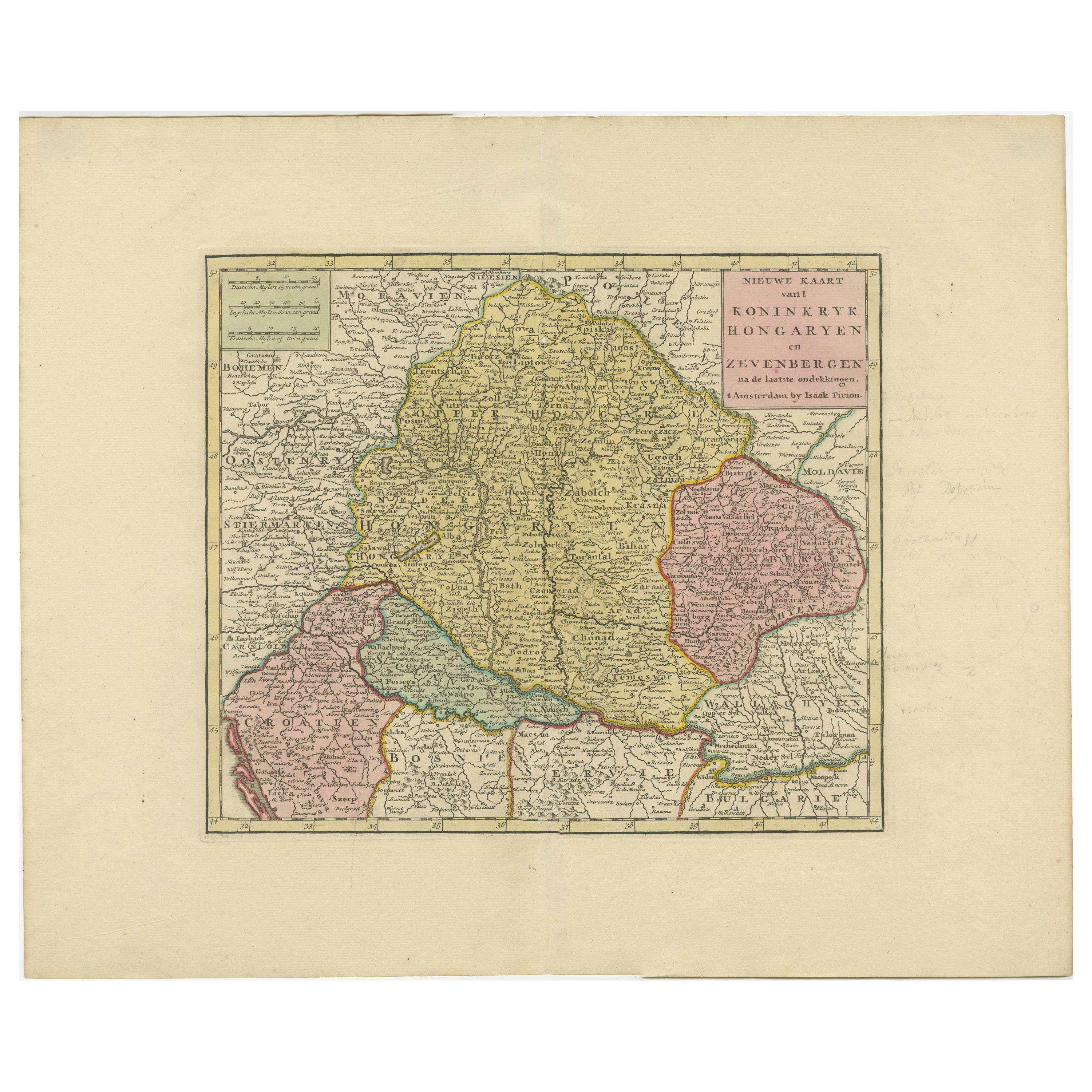
Antique Map of Hungary Incl Surroundings like Croatia, Bosnia, Servia, 1730

Antique Map of Hungary Incl Surroundings like Croatia, Bosnia, Servia, 1730

Located in Langweer, NL

Antique map titled 'Nieuwe Kaart van t Koninkryk Hongaryen en Zevenbergen na de laatste ontdekkingen'. This map depicts Hungary including surroundings like Croatia, Bosnia, Servia,...

Category

Antique 18th Century Dutch Maps

Materials

Paper

Antique Map of Austria, Centered Around the Danube from Passau to Vienna, C.1690

Antique Map of Austria, Centered Around the Danube from Passau to Vienna, C.1690

Located in Langweer, NL

Antique map of Austria titled 'Circuli Austriaci pars septentrionalis in quia archiducatus Austriae et Ducatus Stiriae accuratissime divisi ostenduntur per F. de Wit'. Detailed m...

Category

Antique 1690s Maps

Materials

Paper

Antique Map of the Kingdom of Hungary and Transylvania, circa 1780

Antique Map of the Kingdom of Hungary and Transylvania, circa 1780

Located in Langweer, NL

Antique Map of the Kingdom of Hungary and Surrounding Regions by S. Robert, circa 1780 This beautifully engraved map titled Royaume de Hongrie, Principauté de Transilvanie, Esclavon...

Category

Antique Late 18th Century French Maps

Materials

Paper

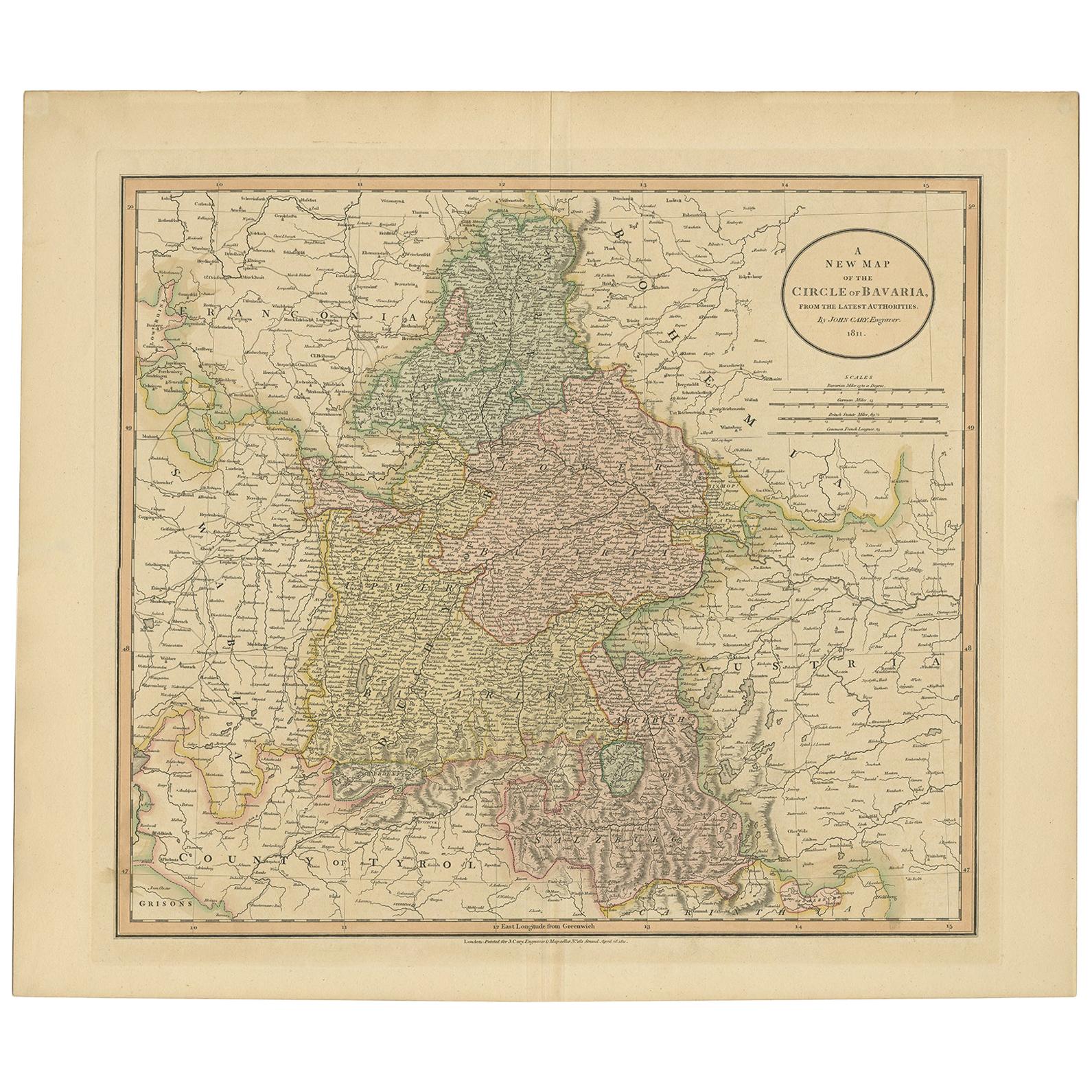
Antique Map of Bavaria and Salzburg by Cary, 1811

Antique Map of Bavaria and Salzburg by Cary, 1811

By John Cary

Located in Langweer, NL

Antique map titled 'A New Map of the Circle of Bavaria'. Antique map of Bavaria and Salzburg, Germany. Covers the Duchy of Bavaria and the mountainous A...

Category

Antique Early 19th Century Maps

Materials

Paper

Antique Map of Hungary and Transylvania by Isaak Tirion, Amsterdam c.1740

Antique Map of Hungary and Transylvania by Isaak Tirion, Amsterdam c.1740

Located in Langweer, NL

Poland Map 1740s – Nieuwe Kaart van het Koninryk Poolen by Isaak Tirion This finely engraved and attractively hand-colored map of the Kingdom of Poland was published by Isaak Tirion...

Category

Antique Mid-18th Century Dutch Maps

Materials

Paper