Want more images or videos?
Request additional images or videos from the seller
1 of 9

Sutton Nichols
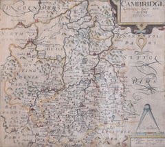
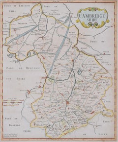
Map of Cambridgeshire, 18th century engraving by Sutton Nicholls

$760.26
£550
€656.34
CA$1,054.14
A$1,070.69
CHF 617.01
MX$12,926.95
NOK 7,167.10
SEK 7,226.90
DKK 4,906.32

About the Item

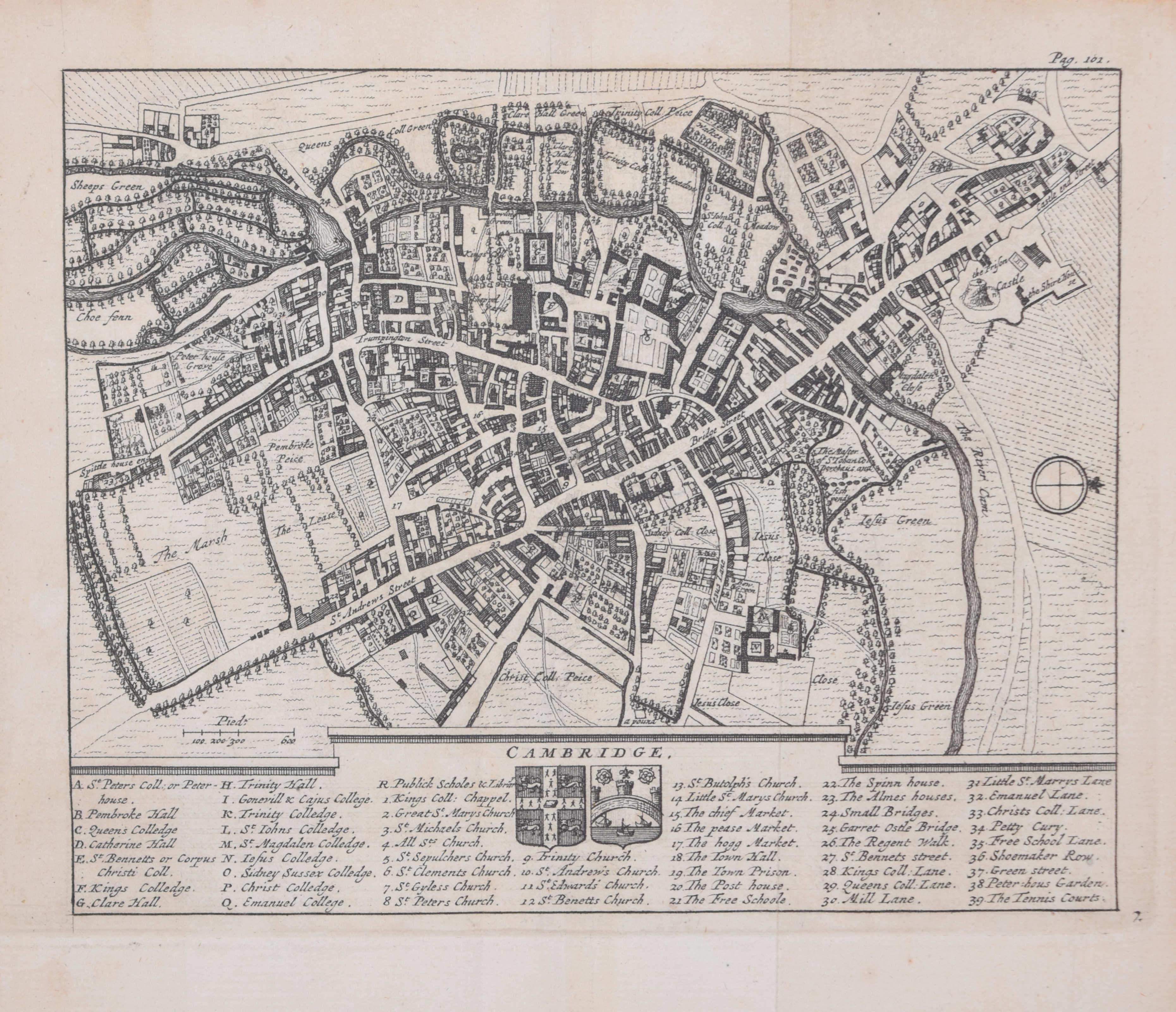
To see more, scroll down to "More from this Seller" and below it click on "See all from this Seller." Sutton Nichols (1668 - 1729) Map of Cambridgeshire Engraving 43 x 36 cm Signed in plate lower left. A beautifully coloured 18th century map engraving of Cambridgeshire. The map was produced by Robert Morden for publication in Edward Gibson's 1695 translation of William Camden's Britannia, a topographical and historical survey of Great Britain and Ireland produced to "restore antiquity to Britaine, and Britain to his antiquity" - a most noble aim. William Camden (1551 - 1623) was an English antiquarian, historian, topographer, and herald, best known as the author of Britannia, the first chorographical survey of the islands of Great Britain and Ireland, and the Annales, the first detailed historical account of the Queen Elizabeth I's reign. Sutton Nicholls was a draughtsman and engraver best known for his panoramic views of the cities of London and Westminster. Almost all of his engravings were commissioned by publishers. Nicholls specialised in topographical and architectural designs; he also produced many maps, notably illustrating John Strype’s edition of John Stowe’s ‘Survey of London’ in 1720.
  • Creator:
    Sutton Nichols (1668 - 1729, British)
  • Dimensions:
    Height: 16.93 in (43 cm)Width: 14.18 in (36 cm)
  • Medium:
  • Period:
  • Framing:
    Framing Options Available
  • Condition:
    Generally very good.
  • Gallery Location:
    London, GB
  • Reference Number:
    1stDibs: LU795315490672

More From This Seller

View All
Map of Cambridge 18th century engraving by Sutton Nichols

Map of Cambridge 18th century engraving by Sutton Nichols

Located in London, GB

To see more, scroll down to "More from this Seller" and below it click on "See all from this Seller." Sutton Nichols (1668 - 1729) Map of Cambridgeshire Engraving 43 x 36 cm Signed in plate lower left. A beautifully coloured 18th century map engraving of Cambridgeshire. The map was produced by Robert Morden for publication in Edward Gibson's 1695 translation of William Camden's Britannia, a topographical and historical survey of Great Britain and Ireland produced to "restore antiquity to Britaine, and Britain to his antiquity" - a most noble aim. William Camden (1551 - 1623) was an English antiquarian, historian, topographer, and herald, best known as the author of Britannia, the first chorographical survey of the islands of Great Britain and Ireland, and the Annales, the first detailed historical account of the Queen...

Category

18th Century Landscape Prints

Materials

Engraving

Cambridge map 17th century engraving after John Speed

Cambridge map 17th century engraving after John Speed

By John Speed

Located in London, GB

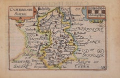
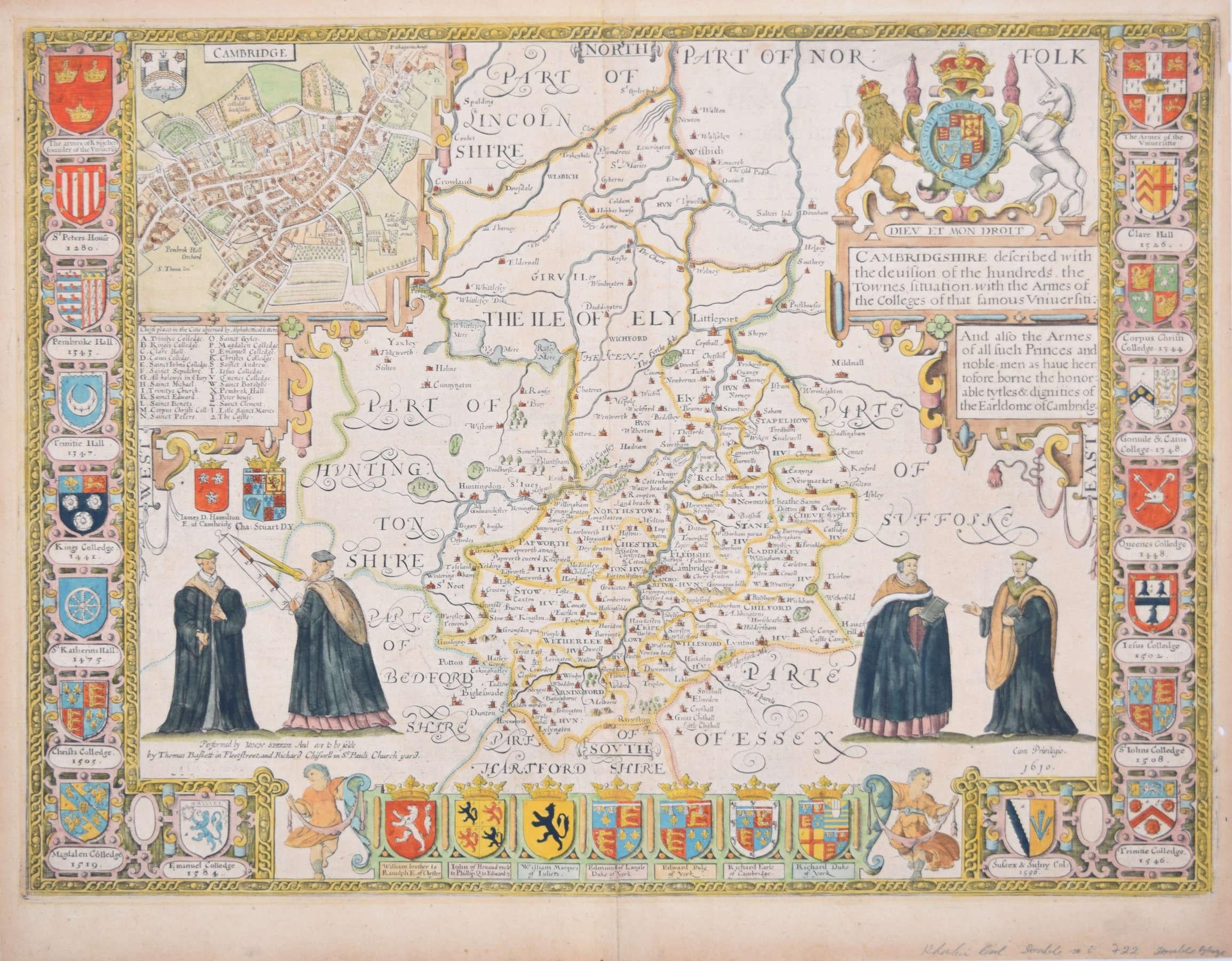
To see more, scroll down to "More from this Seller" and below it click on "See all from this Seller." Pieter van den Keere (1571 - circa 1646) after John Speed (1551 or 1552 - 1629) Map of Cambridgeshire Engraving 8 x 12 cm A beautifully coloured map of Cambridgeshire, with an antique description of the county to the reverse. The map, along with many others, was published in Speed's atlas, 'The Theatre of the Empire of Great Britaine', first published in 1611. This particular miniature edition of the 'Theatre' was published in miniature by George Humble in 1627, entitled 'England Wales Scotland and Ireland Described and Abridged With ye Historic Relation of things worthy memory from a farr larger Voulume. Done by John Speed.’ Speed's original map was likely engraved for this edition by Peter van den Keere. van den Keere's maps soon came to be known as "Miniature Speeds". John Speed was an English cartographer, chronologer and historian. The son of a citizen and Merchant Taylor in London, he rose from his family occupation to accept the task of drawing together and revising the histories, topographies and maps of the Kingdoms of Great Britain as an exposition of the union of their monarchies in the person of King James I and VI. He accomplished this with remarkable success, with the support and assistance of the leading antiquarian scholars of his generation. He drew upon and improved the shire maps of Christopher Saxton, John Norden and others, being the first to incorporate the hundred-boundaries into them, and he was the surveyor and originator of many of the town or city plans inset within them. His work helped to define early modern concepts of British national identity. His Biblical genealogies were also formally associated with the first edition of the King James Bible...

Category

1620s Landscape Prints

Materials

Engraving

Cambridgeshire map 17th century engraving by John Speed

Cambridgeshire map 17th century engraving by John Speed

By John Speed

Located in London, GB

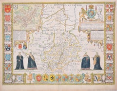
To see more, scroll down to "More from this Seller" and below it click on "See all from this Seller." John Speed (1551 or 1552 - 1629) Map of Cambridgeshire Engraving with later hand colouring 39 x 53 cm A beautifully coloured map of Cambridgeshire, with an antique description...

Category

1610s Landscape Prints

Materials

Engraving

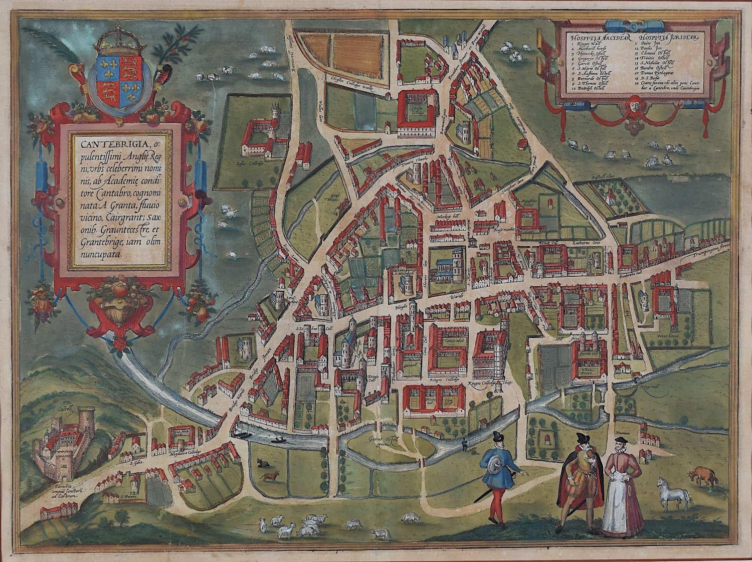
Map of Cambridge, c.1572 engraving by Braun & Hogenberg

Map of Cambridge, c.1572 engraving by Braun & Hogenberg

Located in London, GB

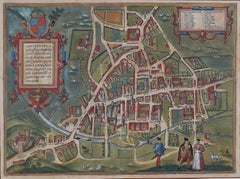
To see our other views of Oxford and Cambridge, scroll down to "More from this Seller" and below it click on "See all from this Seller" - or send us a message if you cannot find the ...

Category

16th Century Realist Landscape Prints

Materials

Engraving

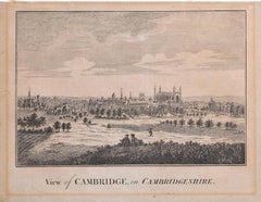
Engraved 18th century view of Cambridge

Engraved 18th century view of Cambridge

Located in London, GB

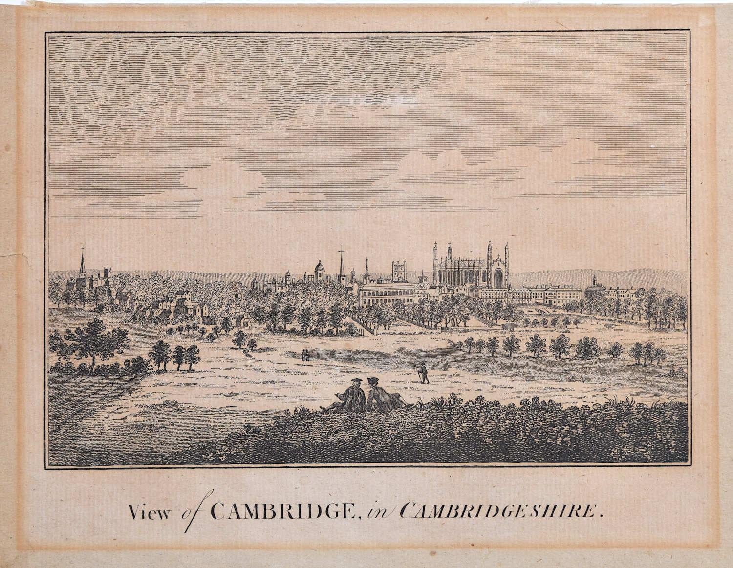
18th Century View of Cambridge Engraving 15 x 20 cm This detailed engraving captures an 18th century view of Cambridge from the West. Green expanses dominate the piece, featuring s...

Category

18th Century Realist Landscape Prints

Materials

Engraving

You May Also Like

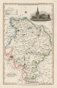
Huntingdonshire, English County Antique map, 1847

Huntingdonshire, English County Antique map, 1847

By Isaac Slater

Located in Melbourne, Victoria

Steel-engraved map with original outline colouring by Isaac Slater. A detailed engraved map of the English county with title, scale, and key. Decorated with an uncoloured engraved vi...

Category

19th Century Naturalistic Landscape Prints

Materials

Engraving

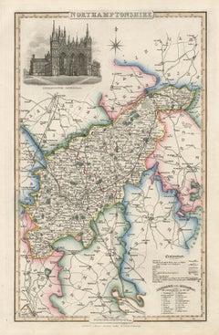
Northamptonshire, English County Antique map, 1847

Northamptonshire, English County Antique map, 1847

By Isaac Slater

Located in Melbourne, Victoria

Steel-engraved map with original outline colouring by Isaac Slater. A detailed engraved map of the English county with title, scale, and key. Decorated with an uncoloured engraved view of 'Peterborough...

Category

19th Century Naturalistic Landscape Prints

Materials

Engraving

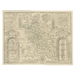
Antique Map of Buckinghamshire in England, 1743

Antique Map of Buckinghamshire in England, 1743

Located in Langweer, NL

Antique map titled 'Buckingham both shyre and shire towne describ'. Map of Buckinghamshire, England. With town plans of Buckingham and Redding. This map originates from Overton's atl...

Category

Antique 18th Century Maps

Materials

Paper

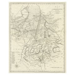
Large Antique County Map of Cambridgeshire, England

Large Antique County Map of Cambridgeshire, England

Located in Langweer, NL

Antique map titled 'A Map of Cambridgeshire from the best Authorities'. Original old county map of Cambridgeshire, England. Engraved by John Cary. Originates from 'New British Atlas'...

Category

Antique Early 19th Century Maps

Materials

Paper

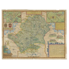
Antique Map of Hertfordshire in England by Speed, 1627

Antique Map of Hertfordshire in England by Speed, 1627

Located in Langweer, NL

Antique map titled 'Hartfordshire described the sittuations of Hartford (..)'. Map of Hertfordshire, England. Includes inset maps of Hertford and the Roman settlement of Verolani...

Category

Antique 17th Century Maps

Materials

Paper

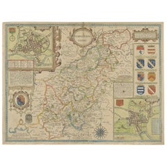
Antique Map of Northamptonshire by Speed, 1676

Antique Map of Northamptonshire by Speed, 1676

Located in Langweer, NL

Antique map titled 'Norhamtonshire'. Map of Norhamptonshire, England. Includes inset town plans of Peterborough and Northampton. This map originates from 'Theatre of Great Britaine' ...

Category

Antique 17th Century Maps

Materials

Paper