Want more images or videos?
Request additional images or videos from the seller
1 of 8

Leslie George Bullock
Circa 1960 Historical Map of Ireland by Leslie George Bullock

Circa 1960

$1,012.61
£742.33
€1,020VAT Included
CA$1,394.82
A$1,412.69
CHF 811.52
MX$17,130.64
NOK 9,413.50
SEK 9,581.86
DKK 6,481.74

About the Item

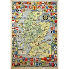
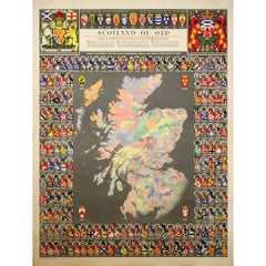
This richly detailed Historical Map of Scotland, created around circa 1960 by Leslie George Bullock, stands as a celebrated example of mid-20th-century pictorial cartography. Bullock was a British illustrator and former civil servant turned cartographer, best known for producing decorative and engaging historical maps that blended geographic information with cultural storytelling. At the center of the design is a finely illustrated map of Scotland, rendered in vivid color and populated with numerous vignettes depicting historic sites, famous battles, and regional landmarks. Castles, cathedrals, ships, and figures from Scottish history are woven directly into the geography, transforming the map into a visual narrative rather than a purely technical document. Surrounding the central image is an elaborate border of coats of arms, representing Scottish clans, noble families, and towns, celebrating the deep heraldic and regional traditions of Scotland. Bullock worked extensively with the renowned Edinburgh publishing house John Bartholomew & Son, producing pictorial maps intended to be both educational and visually appealing. His style is characterized by clarity, charm, and an almost storybook quality, often designed to engage a broad public rather than specialist audiences. Among his best-known works are illustrated maps of London, England, Wales, Ireland, and Scotland. Born in London in 1895, Bullock began his career in the British civil service. His artistic abilities gradually led him toward mapmaking and illustration, where he developed a distinctive approach combining historical detail with accessible design. He was awarded an O.B.E. in 1947 for his wartime service before devoting more of his later career to publishing illustrated maps. He continued working in this field until his death in 1971. Produced during a period of renewed interest in heritage, travel, and national identity, this Historical Map of Scotland functions both as an informative document and as a decorative work of graphic art. Its blend of cartography, heraldry, and historical imagery makes it a compelling collectible piece, appealing equally to map enthusiasts, historians, and lovers of Scottish culture. Original Poster Geography - Map - Scotland - United Kingdom With the country's emblems Printed by John Bartholomew & Son in Edinburgh
  • Creator:
    Leslie George Bullock
  • Creation Year:
    Circa 1960
  • Dimensions:
    Height: 39.38 in (100 cm)Width: 26.38 in (67 cm)
  • Medium:
  • Period:
  • Condition:
    Good condition, creases, traces of tape.
  • Gallery Location:
    PARIS, FR
  • Reference Number:
    1stDibs: LU1792217531172

More From This Seller

View All
1952 original poster - Ireland - Irish Airlines

1952 original poster - Ireland - Irish Airlines

Located in PARIS, FR

This beautifully illustrated 1952 original poster captures the breathtaking charm of Glendalough, one of Ireland’s most historically and spiritually significant locations. Created by...

Category

1950s Prints and Multiples

Materials

Paper, Lithograph

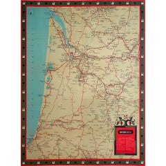
Circa 1950 original illustrated map for "Carte France autour de Bordeaux"

Circa 1950 original illustrated map for "Carte France autour de Bordeaux"

Located in PARIS, FR

The circa 1950 original illustrated map for "Carte France autour de Bordeaux" is an excellent representation of mid-20th century cartography, focusing on the area surrounding Bordeau...

Category

1950s Prints and Multiples

Materials

Linen, Paper

Jacques Liozu's 1951 illustrated map of North and Central America

Jacques Liozu's 1951 illustrated map of North and Central America

By Jacques Liozu

Located in PARIS, FR

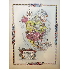
Jacques Liozu's 1951 illustrated map of North and Central America is an exceptional work of cartography that combines geographical precision with artistic aesthetics. Jacques Liozu, ...

Category

1950s Prints and Multiples

Materials

Paper, Lithograph

You May Also Like

Large Original Antique Map of Ireland. C.1900

Large Original Antique Map of Ireland. C.1900

Located in St Annes, Lancashire

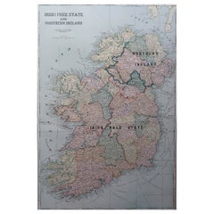
Fabulous map of Ireland Original color. Engraved and printed by the George F. Cram Company, Indianapolis. Published, C.1900. Unframed. Free shipping.

Category

Antique 1890s American Maps

Materials

Paper

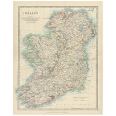
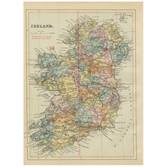
Antique Map of Ireland, 1903, with Intricate County Boundaries & Coastal Details

Antique Map of Ireland, 1903, with Intricate County Boundaries & Coastal Details

Located in Langweer, NL

Title: Antique Map of Ireland, 1903, with Intricate County Boundaries and Coastal Detail Description: This antique map of Ireland, engraved and published in 1903 by the esteemed W. ...

Category

Early 20th Century Maps

Materials

Paper

Antique Map of Ireland, 1885 – County Colors, Railways & Coastal Detail

Antique Map of Ireland, 1885 – County Colors, Railways & Coastal Detail

Located in Langweer, NL

Title: Antique Map of Ireland, 1885 – County Colors, Railways & Coastal Detail Description: This richly decorative antique map of Ireland was published in 1885 by George W. Bacon in...

Category

Antique Late 19th Century British Maps

Materials

Paper

Antique Ireland Map with County Divisions – Decorative Wall Chart, 1884

Antique Ireland Map with County Divisions – Decorative Wall Chart, 1884

Located in Langweer, NL

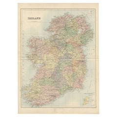
Antique Map of Ireland with Counties – Black’s Atlas, 1884 Description: This finely detailed engraved map of Ireland was published in the New and Revised Edition of Black’s General ...

Category

Antique 1880s Scottish Maps

Materials

Paper

Ireland Map – Provincial and County Divisions 1851

Ireland Map – Provincial and County Divisions 1851

Located in Langweer, NL

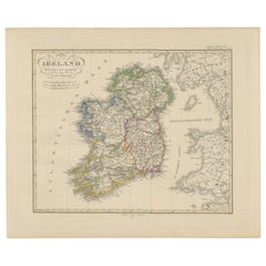
Ireland Map – Provincial and County Divisions 1851 This fine antique print shows Ireland titled simply “Ireland,” published in 1851 by Justus Perthes in Gotha as part of Adolf Stiel...

Category

Antique Mid-19th Century German Maps

Materials

Paper

Hibernia Regnum Map by Carel Allard, 1700: Hand-Colored Provinces of Ireland

Hibernia Regnum Map by Carel Allard, 1700: Hand-Colored Provinces of Ireland

Located in Langweer, NL

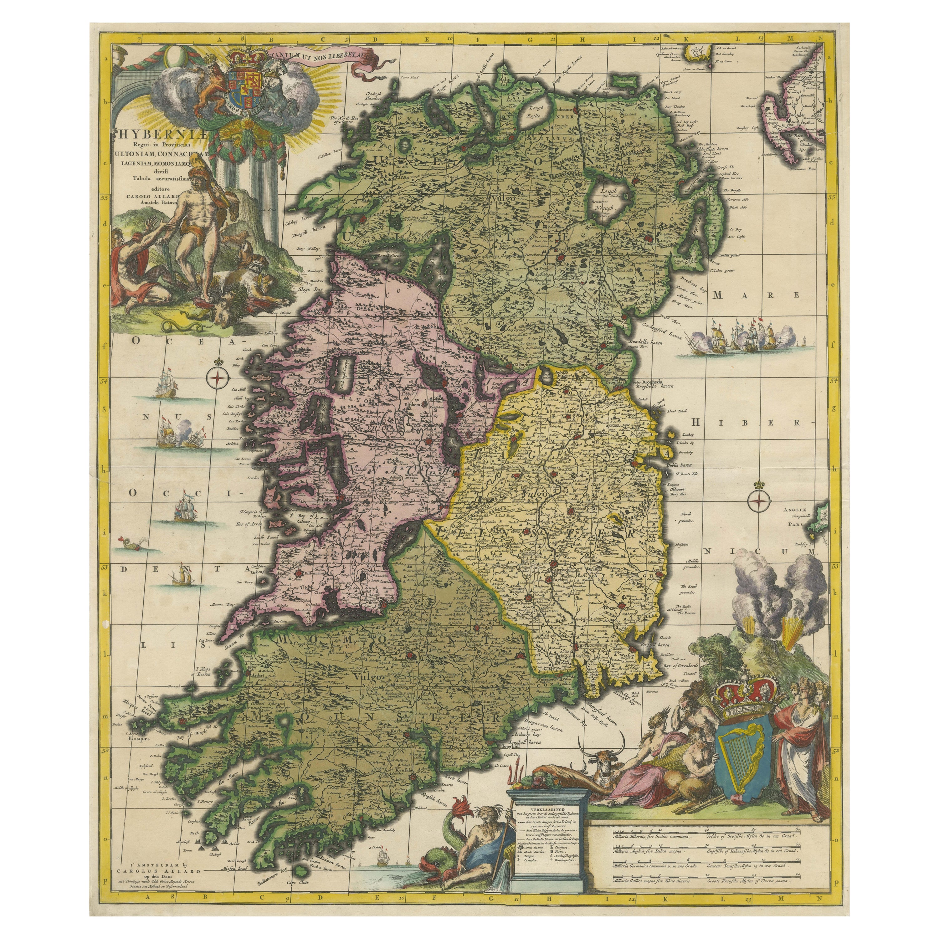
This is a historical map of Ireland created by Carel Allard around 1700, titled "Hibernia Regnum in Quatuor Provincias Ultoniam, Connaciam, Lageniam, et Momoniam". The map is hand-colored and engraved. It includes two large decorative cartouches. The map is part of an atlas by Carel Allard, an Amsterdam-based cartographer. Here are the detailed points about the map: Maker: Carel Allard - a prominent Dutch cartographer and publisher from Amsterdam. Atlas: Source Atlas - Likely part of an atlas published by Carel Allard, but specific title of the atlas isn't mentioned. Interesting Features 1. Decorative Cartouches: The map features two large, ornate cartouches. One in the upper left depicts a classical figure and British Royal arms...

Category

Antique Early 1700s Maps
Materials

Paper