Want more images or videos?
Request additional images or videos from the seller
1 of 3

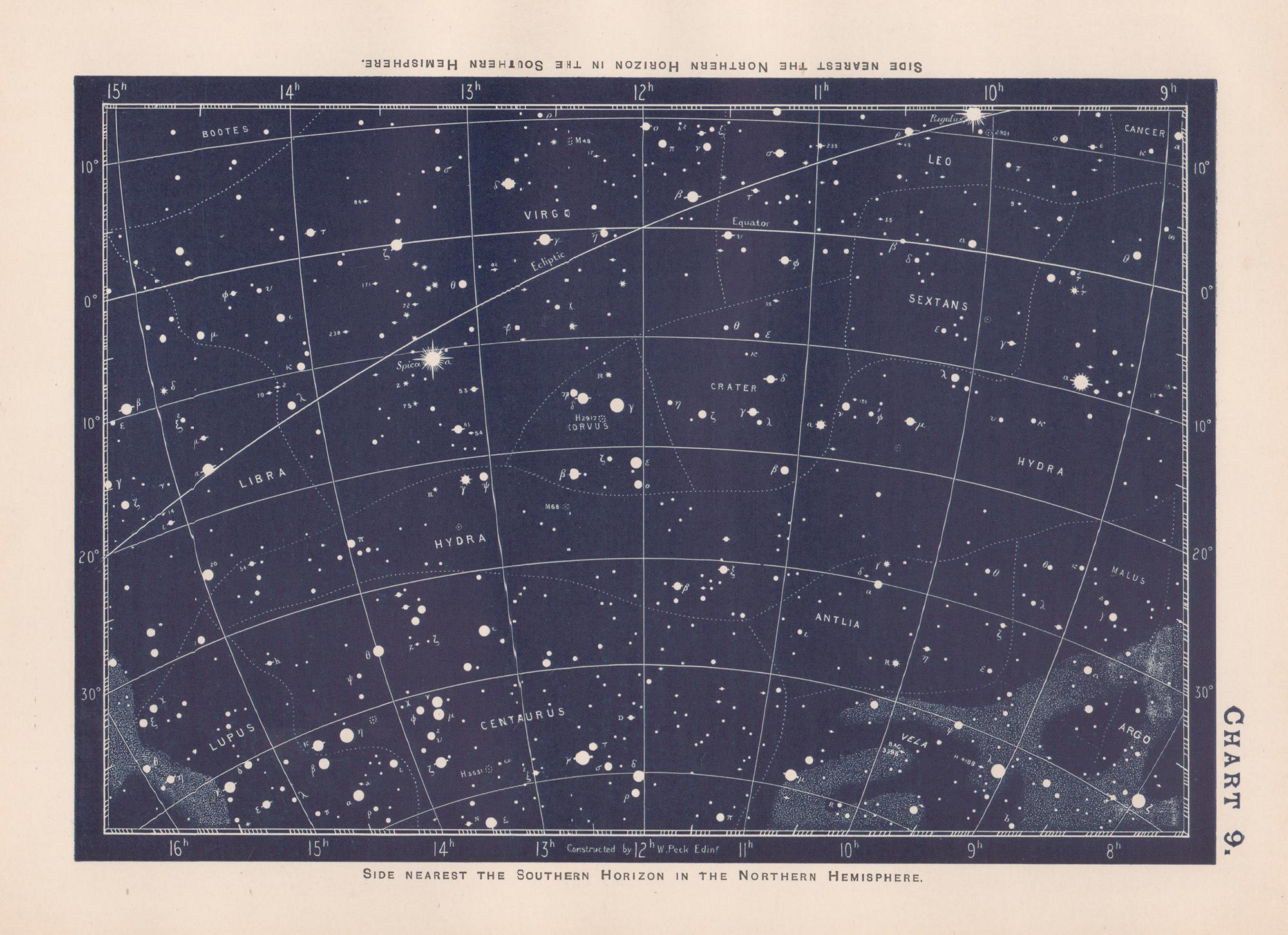
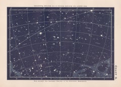
Star Chart. Antique Astronomy celestial print

1890

$120
£90.63
€106.11
CA$170.49
A$190.79GST Included
CHF 99.40
MX$2,088.41
NOK 1,161.83
SEK 1,166.93
DKK 793.25

About the Item

Colour lithograph, 1890. 210mm by 285mm (sheet). From W Peck's 'A Handbook and Atlas of Astronomy', 1890. Sir William Peck FRSE FRAS (1862 – 1925) was a Scottish astronomer and scientific instrument maker.
  • Creation Year:
    1890
  • Dimensions:
    Height: 8.27 in (21 cm)Width: 11.23 in (28.5 cm)
  • Medium:
  • Movement & Style:
  • After:
    William Peck (British)
  • Period:
  • Condition:
  • Gallery Location:
    Melbourne, AU
  • Reference Number:
    1stDibs: LU1244213118492

More From This Seller

View All
Star Chart. Antique Astronomy celestial print

Star Chart. Antique Astronomy celestial print

By William Peck

Located in Melbourne, Victoria

Colour lithograph, 1890. 210mm by 285mm (sheet). From W Peck's 'A Handbook and Atlas of Astronomy', 1890. Sir William Peck FRSE FRAS (1862 – 1925) was a Scottish astronomer and scien...

Category

Late 19th Century Victorian More Prints

Materials

Lithograph

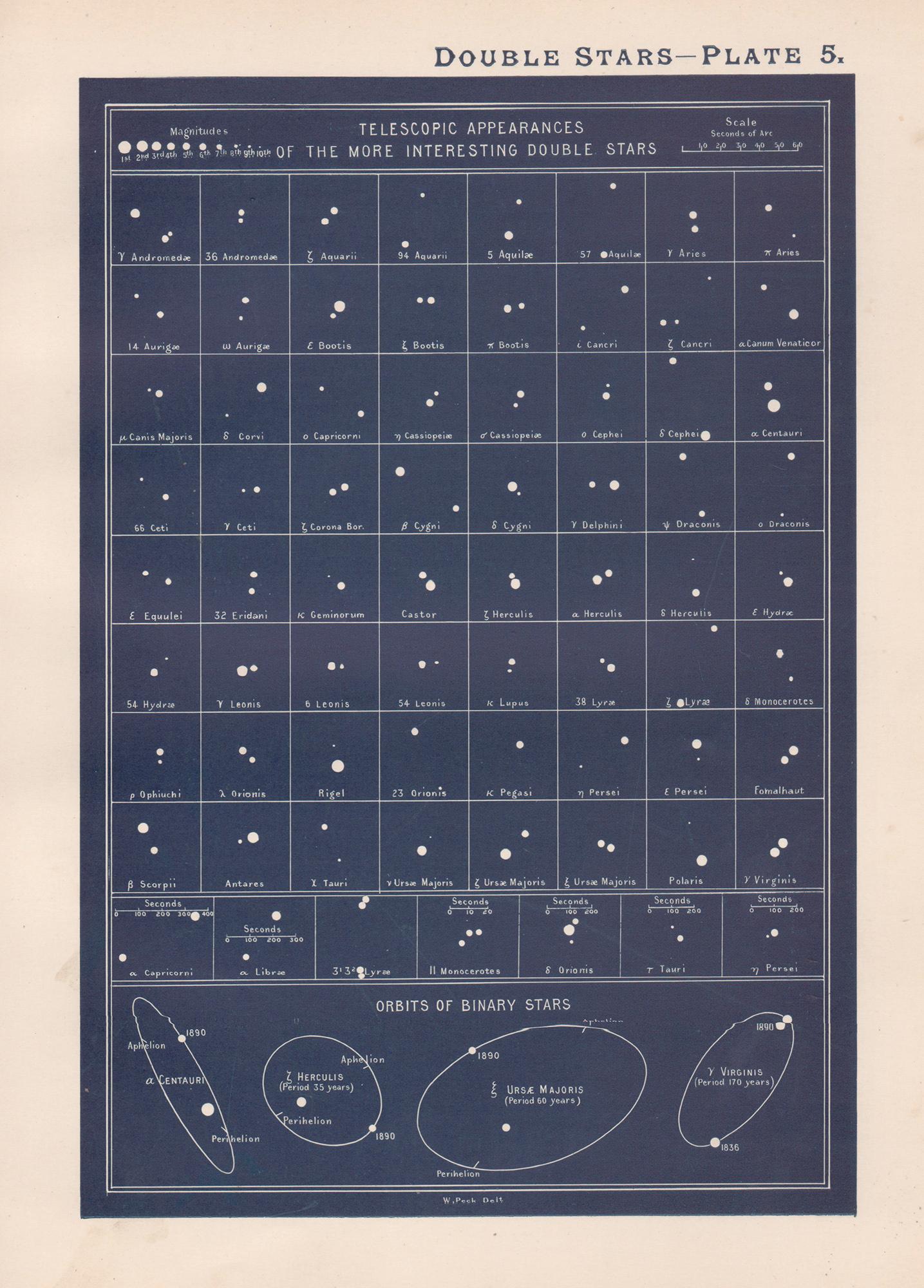
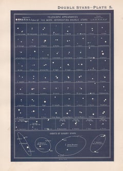
Double Stars. Antique Astronomy science print

Double Stars. Antique Astronomy science print

By William Peck

Located in Melbourne, Victoria

Colour lithograph, 1890. 285mm by 210mm (sheet). From W Peck's 'A Handbook and Atlas of Astronomy', 1890. Sir William Peck FRSE FRAS (1862 – 1925) was a Scottish astronomer and scien...

Category

Late 19th Century Victorian More Prints

Materials

Lithograph

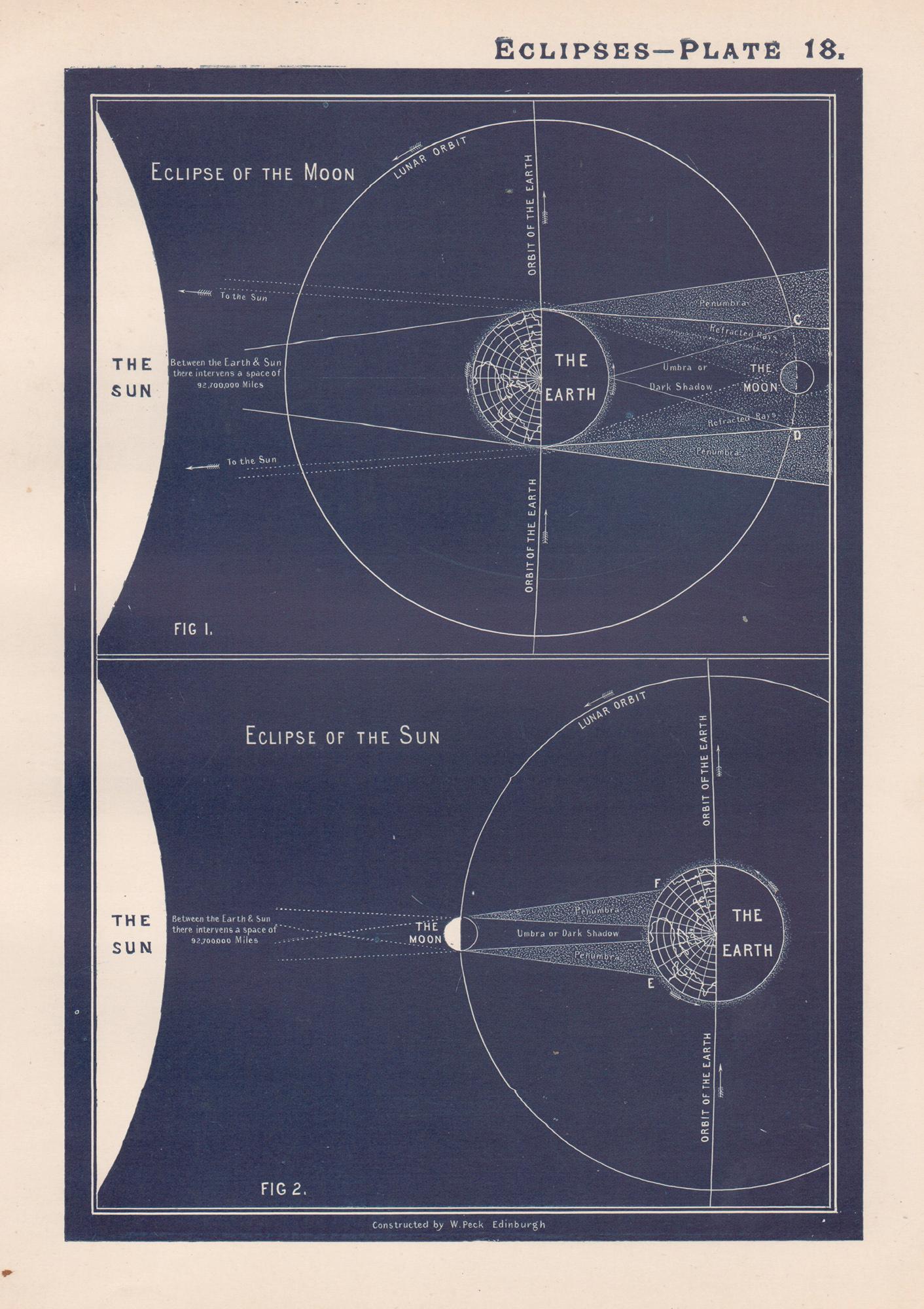
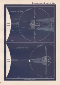
Eclipses. Antique Astronomy science print

Eclipses. Antique Astronomy science print

By William Peck

Located in Melbourne, Victoria

Colour lithograph, 1890. 285mm by 210mm (sheet). From W Peck's 'A Handbook and Atlas of Astronomy', 1890. Sir William Peck FRSE FRAS (1862 – 1925) was a Scottish astronomer and scien...

Category

Late 19th Century Victorian More Prints

Materials

Lithograph

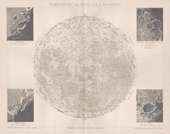
Ubersichtskarte Des Mondes (Overview Map of the Moon), antique astronomy print

Ubersichtskarte Des Mondes (Overview Map of the Moon), antique astronomy print

Located in Melbourne, Victoria

'Ubersichtskarte Des Mondes' (Overview Map of the Moon) German chromolithograph, circa 1895. 245mm by 305mm (sheet). Central vertical fold as issued.

Category

Late 19th Century Naturalistic Still-life Prints

Materials

Lithograph

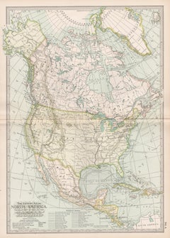
North America. Century Atlas antique vintage map

North America. Century Atlas antique vintage map

Located in Melbourne, Victoria

'The Century Atlas. North America' Original antique map, 1903. Central fold as issued. Map name and number printed on the reverse corners. Sheet 40cm by 29.5cm.

Category

Early 20th Century Victorian More Prints

Materials

Lithograph

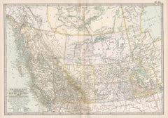
Manitoba, British Columbia and NW Territories, Canada. Century Atlas antique map

Manitoba, British Columbia and NW Territories, Canada. Century Atlas antique map

Located in Melbourne, Victoria

'The Century Atlas. Manitoba, British Columbia and the Northwest Territories, Canada, North America.' Original antique map, 1903. Central fold as issued. Map name and number printe...

Category

Early 20th Century Victorian More Prints

Materials

Lithograph

You May Also Like

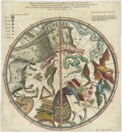
1711 Star Chart of Southern Sky with Mythical Constellations and Exotic Animals

1711 Star Chart of Southern Sky with Mythical Constellations and Exotic Animals

Located in Langweer, NL

1711 Star Chart of the Southern Sky - "Mappa Stellarum Australium quae in Altitudine Poli Borei Graduum" This beautiful star chart, engraved by Arnold van Westerhout in 1711, shows ...

Category

Antique 1710s Belgian Maps

Materials

Paper

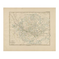
Northern Hemisphere Star Map – Constellations & Astronomical Chart, c.1858

Northern Hemisphere Star Map – Constellations & Astronomical Chart, c.1858

Located in Langweer, NL

Northern Hemisphere Star Map – Constellations & Astronomical Chart c.1858 This attractive antique print shows the northern starry sky titled “Der nördliche gestirnte Himmel”, meanin...

Category

Antique Mid-19th Century German Maps

Materials

Paper

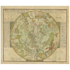
Antique Chart of the Passage of Comets in the Southern Sky, circa 1740

Antique Chart of the Passage of Comets in the Southern Sky, circa 1740

Located in Langweer, NL

Antique map titled 'Motus Comtarum in Hemispaerio Australi (..)'. This uncommon chart depicts the passage of comets in the southern sky between the years 1530-1704. Centered on the ecliptic poles and shows the constellation figures based on classical mythology, without showing the stars. The paths of dozens of comets are illustrated, eincluding those sighted by Tycho Brahe...

Category

Antique Mid-18th Century German Maps

Materials

Paper

Antique Map of the Night Skies of the Northern and Southern Hemispheres, 1880

Antique Map of the Night Skies of the Northern and Southern Hemispheres, 1880

Located in Langweer, NL

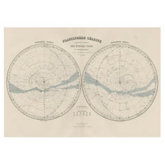
Antique world map titled 'Planisphère en Céleste'. This map depicts the night skies of both the northern and southern hemispheres. This map originates from 'Géographie Universell...

Category

Antique 1880s Maps

Materials

Paper

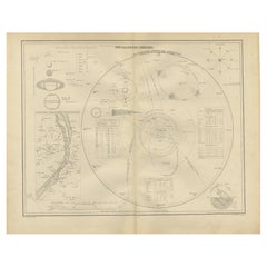
The Solar System – Astronomical Lithograph - The Nieuwe Hand-Atlas, Leiden 1876

The Solar System – Astronomical Lithograph - The Nieuwe Hand-Atlas, Leiden 1876

Located in Langweer, NL

The Solar System – Astronomical Lithograph from the Nieuwe Hand-Atlas, Leiden 1876 This detailed 19th-century Dutch astronomical lithograph, titled “Het Planeten-Stelsel” (The Plane...

Category

Antique 1870s Dutch Maps

Materials

Paper

Antique Astronomical Chart, Planetary Systems, Lapie Atlas 1838

Antique Astronomical Chart, Planetary Systems, Lapie Atlas 1838

Located in Langweer, NL

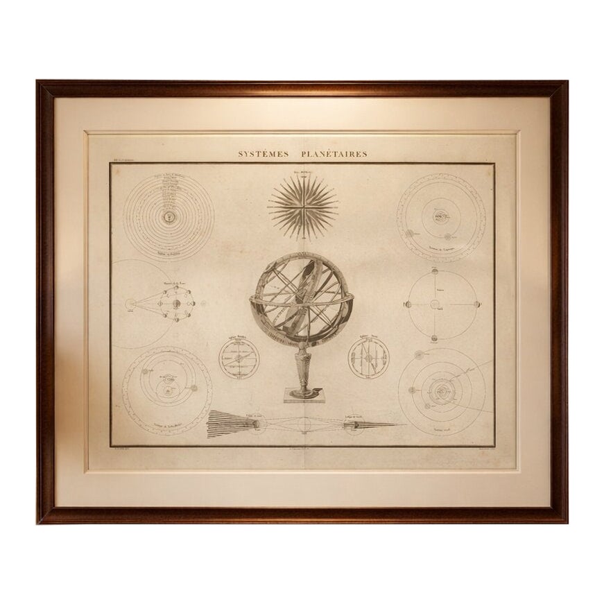
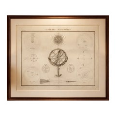
Antique Astronomical Chart, Planetary Systems, Lapie Atlas 1838 This refined and intellectually engaging astronomical engraving titled Systèmes Planétaires originates from the important French publication Atlas Universel de Géographie Ancienne et Moderne by M. Lapie, published in Paris in 1838. The Lapie atlas is widely regarded as one of the most elegant and scientifically grounded cartographic works of the early 19th century, combining geographical precision with broader educational content, including astronomy and physical geography. The composition presents a beautifully balanced scientific tableau centered around a detailed armillary sphere, symbolizing the classical representation of the cosmos. Surrounding this central motif are a series of finely engraved diagrams illustrating planetary systems, lunar phases, eclipses, and orbital mechanics. These include both heliocentric and earlier cosmological interpretations, reflecting the transitional scientific understanding of the period. The clarity of line, precision of engraving, and restrained aesthetic give the sheet a distinctly modern feel despite its age. Printed on high-quality paper typical of French atlas production in the 1830s, the engraving demonstrates the technical excellence associated with Parisian publishing houses of the time. The typography, layout, and scientific diagrams reveal the influence of Enlightenment thinking, where knowledge was presented not only accurately but also beautifully. This sheet would appeal to collectors of scientific prints, astronomy enthusiasts, and interior designers seeking intellectually sophisticated wall decoration. Its symmetrical composition and neutral tones make it particularly suitable for contemporary interiors, studies, or libraries where historical depth and visual harmony are desired. Condition report: Good condition overall. Light age toning and scattered foxing visible, primarily in the margins. Original center fold as issued. Paper remains strong and stable. Plate mark visible. Framing tips: Highly suitable for a dark walnut or black frame with a generous ivory or off-white mat to emphasize the fine engraving details. Works exceptionally well in study or library settings, or paired with other scientific or cartographic prints for a cohesive gallery wall. Keywords: antique astronomy print, planetary systems engraving, armillary sphere print, Lapie atlas 1838, French scientific engraving, celestial diagram antique, solar system...

Category

Antique Early 19th Century French Maps
Materials

Paper