Want more images or videos?
Request additional images or videos from the seller
1 of 10

Unknown
American Revolution Map Drawn For John Marshall's "Life Of Washington" First Acc

$750
£569.77
€664.61
CA$1,074.35
A$1,089.89
CHF 619.92
MX$13,241.04
NOK 7,290.72
SEK 7,316
DKK 4,969.18

About the Item

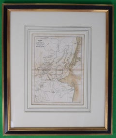
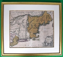
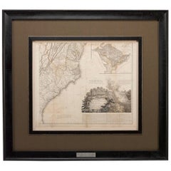
A Map Of The Country Which Was The Scene Of Operations Of The Northern Army: Including The Wilderness Through Which Gerneral Arnold Marched To Attack Plate VI Map Sz: 11"H x 9 1/4"W Frame Sz: 20"H x 17 3/4"W Published by C.P. Wayne, Philad Engraved for The Life of Washington Uncolored engraved antique map from Marshall's Life of Washington, published 1846. Includes Cape Ann, the St. Lawrence River, Lac Orleans, Lake Champlain, Lake George, and the Connecticut River.
  • Dimensions:
    Height: 20 in (50.8 cm)Width: 17.75 in (45.09 cm)
  • Medium:
  • Period:
  • Condition:
  • Gallery Location:
    Bristol, CT
  • Reference Number:
    Seller: 432291stDibs: LU1260113239732

More From This Seller

View All
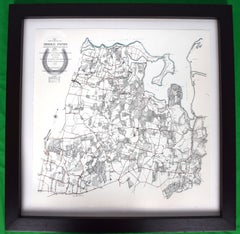
Map Showing Bridle Paths Maintained By The Country Lanes Commitee

Map Showing Bridle Paths Maintained By The Country Lanes Commitee

Located in Bristol, CT

Map Sz: 22 3/4"H x 22 3/4"W Frame Sz: 29"H x 29"W Publisher: The Country Lanes Committee Map Showing Approximate Location & General Direction of Bridle Paths Maintained by the...

Category

1910s More Prints

Materials

Lithograph

Maps of Nantucket Sound and Harbor Provenance: The Susie Hilfiger Collection

Maps of Nantucket Sound and Harbor Provenance: The Susie Hilfiger Collection

Located in Bristol, CT

Map Sz: 22 1/2"H x 17"W Frame Sz: 26 1/2"H x 20 3/4"W *w/ age toning/ slight creasing/ waving to mounted maps* Provenance: The Susie Hilfiger Collection From "Point of View", the...

Category

20th Century Drawings and Watercolor Paintings

Materials

Paper

Map Of The Island Of Antigua

Map Of The Island Of Antigua

Located in Bristol, CT

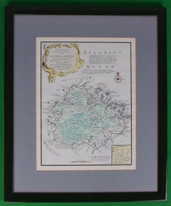
Classic colour plate depicting a 'Map of the Island of Antigua' by Eman Bowen Print Sz: 13 1/2"H x 10"W Frame Sz: 20"H x 16 1/2"W w/ grey mat & green lacquer frame Emanuel Bowen ...

Category

19th Century Prints and Multiples

Materials

Lithograph

Le Coste Nord Ovest Dell' America E Nord Est Dell' Asia Delineate Sulle Ultime O

Le Coste Nord Ovest Dell' America E Nord Est Dell' Asia Delineate Sulle Ultime O

Located in Bristol, CT

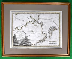
Map Sz: 14 1/2"H x 19 7/8"W Frame Sz: 21"H x 26 3/8"W A fine example of Cassini's 1798 map of Alaska, the Bering Strait, and Siberia. Cassini issued this map in his 1798 atlas to illustrate the discoveries made by James Cook. Cook was the first to accurately chart the Alaskan coastline and provide a detailed mapping of the Aleutian Islands. Cook's zigzagging route is shown as he skirts the Aleutian Islands, passes through the Bering Strait into the Arctic Ocean, and then turns back to sail south along the Siberian Coast. Here the Aleutians are collectively identified as Isole Alessiane, though many of the original islands...

Category

1790s Prints and Multiples

Materials

Paper

You May Also Like

English Engraved Hand Colored Map of the North Eastern United States, circa 1817

English Engraved Hand Colored Map of the North Eastern United States, circa 1817

Located in Charleston, SC

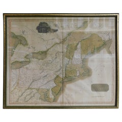
English copper engraved hand colored map of the North Eastern United States matted under glass in a gilt frame, Early 19th Century. Drawn and Engraved for Thomson's New General Atlas...

Category

Antique 1810s English George III Maps

Materials

Glass, Giltwood, Paint, Paper

1812 "United States of North America" Two-Sheet Map by Pierre François Tardieu

1812 "United States of North America" Two-Sheet Map by Pierre François Tardieu

By Pierre François Tardieu

Located in Colorado Springs, CO

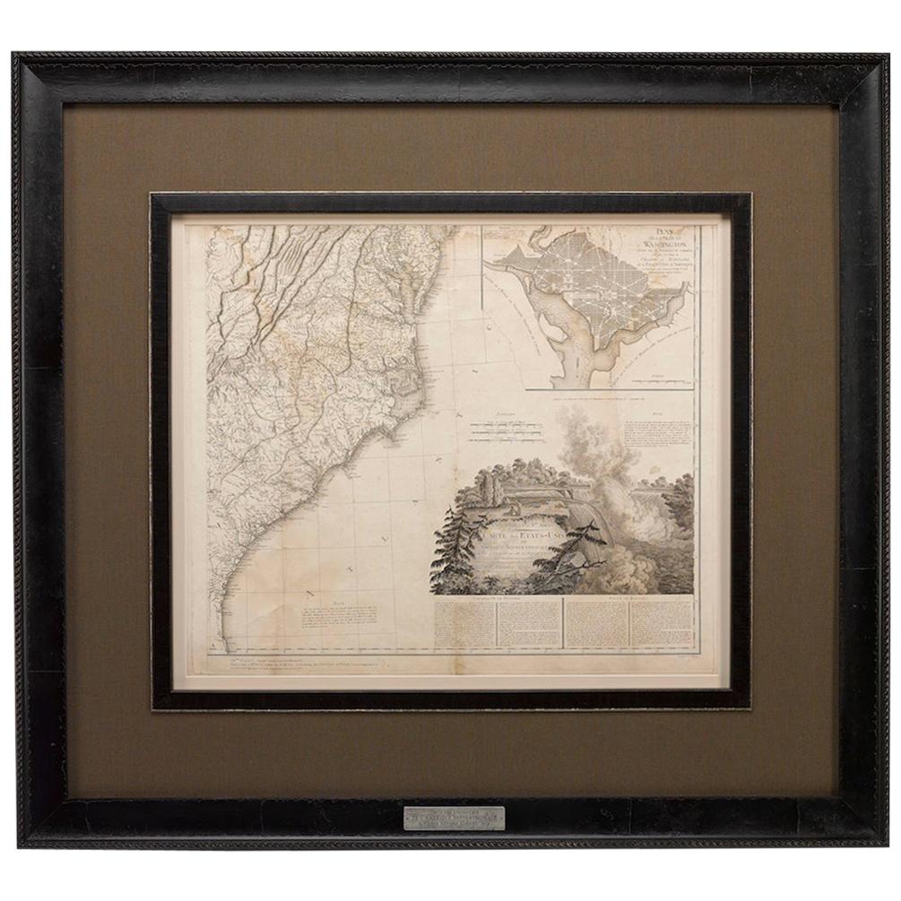
1812 "United States of Nth America -- Carte des Etats-Unis De L'Amerique Septentrionale" Two-Sheet Map by Tardieu This attractive map, published in Paris in 1812, is one of the most rare large format maps from the period. It features a view of the East Coast of the U.S. from Maryland to just below South Carolina. Additionally, Ellicott’s plan for the City of Washington D.C. is included at the top right and an illustration of Niagara Falls is shown at the bottom right with a description in both French and English. This extremely detailed map not only depicts the mountainous regions of the southeastern U.S., but also includes names of regions, rivers, and towns. Based on the first state of Arrowsmith’s 4-sheet map of the United States, this map is completely engraved by Tardieu in Paris and showcases high quality engravings. This detailed map of the recently independent United States includes one of the largest and earliest examples of the Ellicott plan of Washington DC. The artist, Pierre François Tardieu (PF Tardieu) was a very well-known map engraver, geographer, and illustrator. Awarded a bronze medal by King Louis-Phillipe for the accuracy and beauty of his map-making, Tardieu produced many fine works including maps of Louisiana...

Category

Antique 1810s French Maps

Materials

Paper

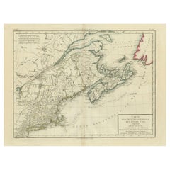
Antique Map of the Northeastern United States and Canada by Tardieu, 1802

Antique Map of the Northeastern United States and Canada by Tardieu, 1802

Located in Langweer, NL

This antique map titled "Carte de la Partie Septentrionale des Etats Unis," created by Pierre Antoine Tardieu, depicts the northeastern part of the United States and parts of Canada....

Category

Antique Early 1800s Maps

Materials

Paper

Antique Northeastern United States Map — New England & Mid-Atlantic, Bonne, 1780

Antique Northeastern United States Map — New England & Mid-Atlantic, Bonne, 1780

Located in Langweer, NL

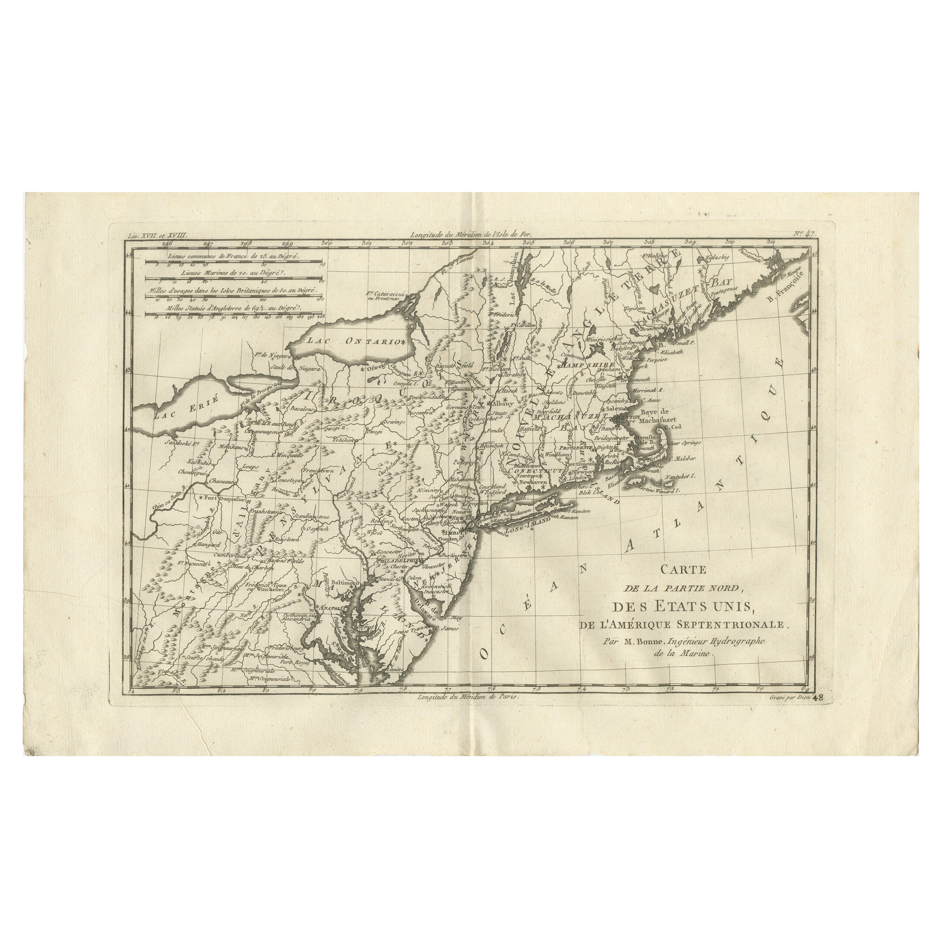
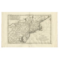
Antique Northeastern United States Map — New England & Mid-Atlantic, Bonne c.1780 This finely engraved eighteenth-century map by Rigobert Bonne presents a detailed depiction of the northern United States and adjacent regions of North America during the Enlightenment period. Engraved circa 1780, the map reflects Bonne’s influential role as Ingénieur-Hydrographe de la Marine and chief cartographer at the Dépôt de la Marine in Paris, where he succeeded Jacques-Nicolas Bellin and advanced a more scientific and systematic approach to cartography. Bonne’s work is recognized for its clarity, precision, and restrained aesthetic, marking a shift away from ornate decorative traditions toward geographic accuracy and legibility. Titled “Carte de la Partie Nord, des États Unis de l’Amérique Septentrionale,” the composition captures the northeastern United States and surrounding territories, including New England, New York, Pennsylvania, New Jersey, and the Mid-Atlantic region, extending inland toward the Great Lakes and westward frontier territories. Prominent geographic features such as Lake Erie and Lake Ontario, the Hudson River, Long Island, and the Chesapeake Bay are carefully rendered, while numerous towns, settlements, and colonial boundaries reflect contemporary European understanding of the newly formed United States following the American Revolutionary period. The detailed coastal delineation underscores the importance of maritime navigation and trade along the Atlantic seaboard. Bonne’s restrained engraving style enhances both readability and visual elegance. Delicate hachuring suggests relief, while grid lines and refined typography emphasize the scientific structure characteristic of Enlightenment cartography. The balanced horizontal composition provides a comprehensive geographic overview, making the map historically informative while maintaining strong decorative appeal. Produced during a transformative moment in North American history, this map offers insight into European perspectives on the early United States and its evolving territorial identity. Today, Bonne’s maps are highly sought after by collectors for their historical significance, clean engraving style, and versatility as decorative wall pieces suitable for both traditional and contemporary interiors. Condition report: Good antique condition with age-related toning, visible central fold as issued, light scattered spotting, and minor handling wear consistent with eighteenth-century paper; margins remain suitable for framing. Framing tips: Particularly effective in a dark walnut or black frame with an ivory or warm off-white mat; the wide horizontal format works well above desks or consoles and pairs nicely with other Bonne maps for a cohesive historical display. Technique: Copperplate engraving Maker: Rigobert Bonne, France, circa 1780 Keyword block: United States antique map, New England antique map, Rigobert Bonne map, early USA cartography, Enlightenment era map America, Dépôt de la Marine map, Lake Erie Lake Ontario antique map, New York Pennsylvania antique...

Category

Antique Late 18th Century French Maps
Materials

Paper

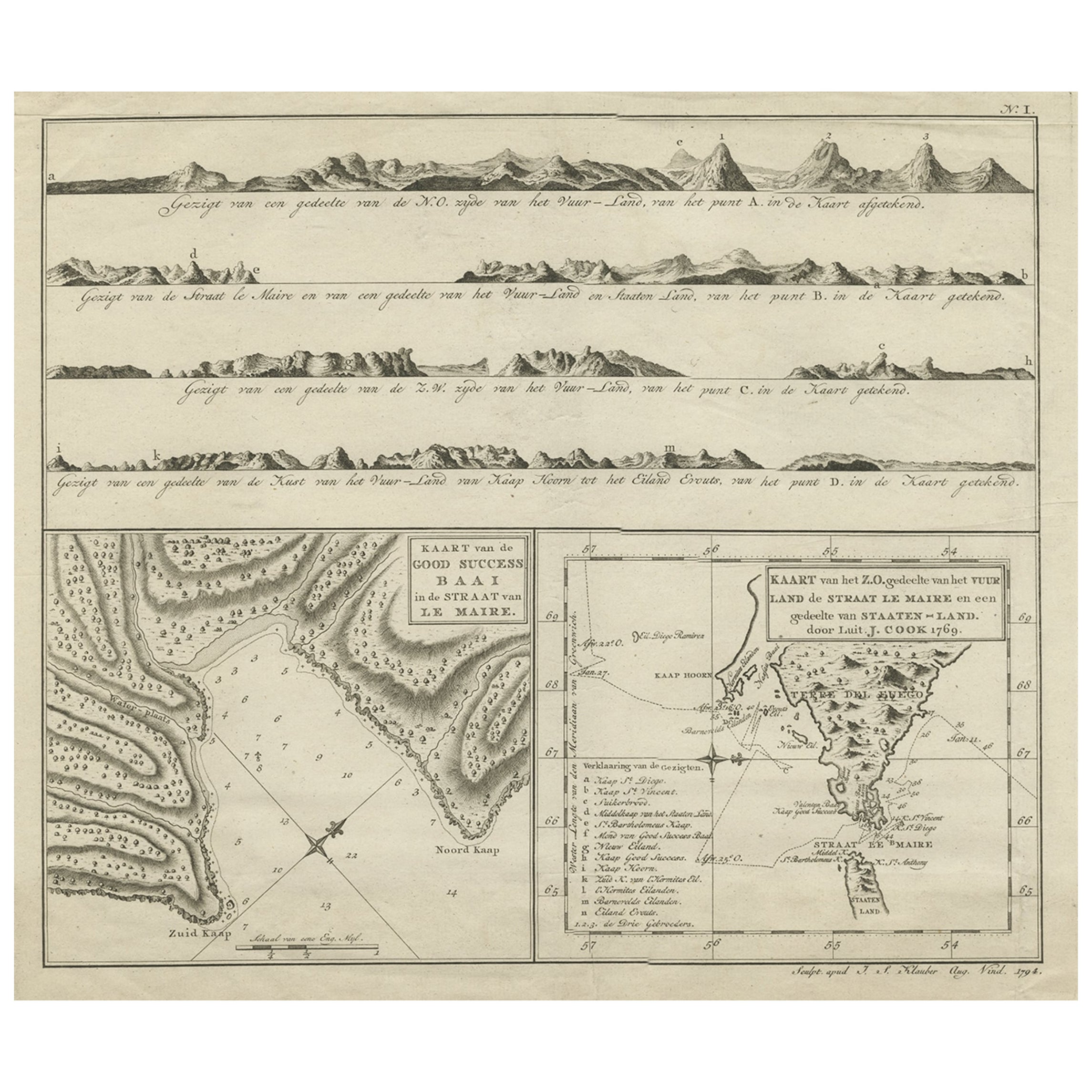
Antique Map of the Strait of Le Maire by Cook, 1803

Antique Map of the Strait of Le Maire by Cook, 1803

Located in Langweer, NL

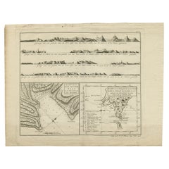
Antique map titled 'Kaart van de Good Success Baai in de Straat van Le Maire (..)'. Antique map of the Strait of Le Maire between Terra Fuego and Staten Island. On top, various coast...

Category

Antique 19th Century Maps

Materials

Paper

Antique Map of New Ireland, 1774

Antique Map of New Ireland, 1774

Located in Langweer, NL

Antique print titled 'Neu Irrland (..)'. Antique map of New Ireland with 7 coastal profiles, Papua New Guinea. Originates from 'Geschichte der See-Reisen u...

Category

Antique 18th Century German Maps

Materials

Paper