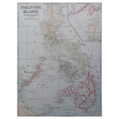
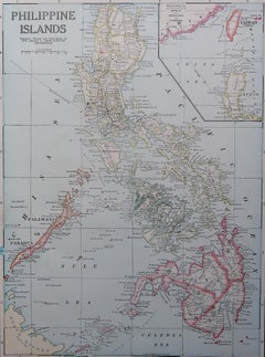
Original Antique Map of The Philippines. C.1900
Located in St Annes, Lancashire
Fabulous map of The Philippines Original color. Engraved and printed by the George F.
Category
1890s American Antique Map Of The Philippines
Materials
Paper
Original Antique Map of The Philippines. C.1900
Located in St Annes, Lancashire
Fabulous map of The Philippines Original color. Engraved and printed by the George F.
Paper
$623Sale Price|20% Off
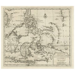
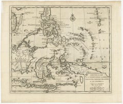
Old Map of the Philippines and Part of Indonesia 'Spice Islands', 1744
Located in Langweer, NL
Old map of the Philippines and part of Indonesia. Originates from 'Nieuwe Hand-Atlas, bestaande in eene Verzameling van eenige naauwkeurige Landkaarten (..)'.
Paper
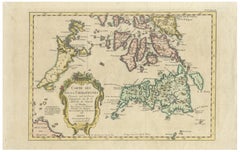
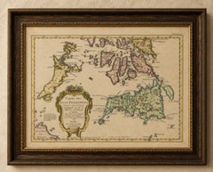
Carte des Isles Philippines – Antique Map of the Philippines, 1752
Located in Langweer, NL
Carte des Isles Philippines – Antique Map of the Philippines, 1752 This beautifully hand-colored mid-18th-century map titled Carte des Isles Philippines presents an elegant French d...
Paper
$2,124Sale Price|20% Off
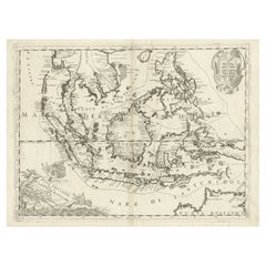
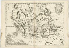
Original Antique Map of the Philippines, Malaysia, Indonesia, Singapore, c.1690
Located in Langweer, NL
Old map of the Philippines, Malaysia, Indonesia, Singapore, Northern Australia and contiguous islands.
Paper
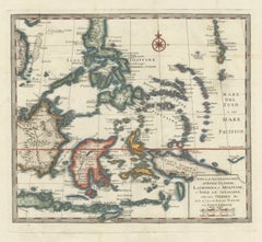
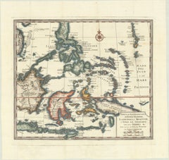
Antique Map of the Philippines & Eastern Indonesia: Spice Islands by Tirion 1738
Located in Langweer, NL
1738 Map of the Philippines & Eastern Indonesia: Spice Islands by Tirion/Albrizzi This beautifully hand-colored map from circa 1738, created by Tirion and Albrizzi, showcases th...
Paper
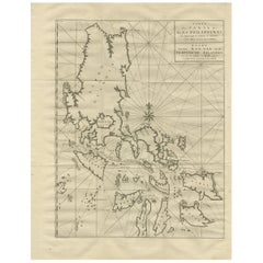
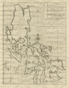
Antique Map of the Philippines by Anson, 1749
Located in Langweer, NL
Antique map titled 'Carte du Canal des Iles Philippines - Kaart van het Kanaal in de Filippynsche Eilanden'.
Paper
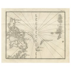
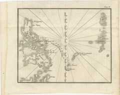
Map of the Philippines and Palau Islands – Antique French Engraving, c.1790
Located in Langweer, NL
Map of the Philippines and Palau Islands – Antique French Engraving, c.1790 This antique French maritime chart depicts the western Pacific region between the Philippines and the Pal...
Paper
$425Sale Price|20% Off
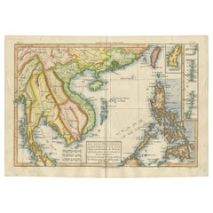
Antique Map of the Philippines, Taiwan and Surroundings by Bonne '1780'
Located in Langweer, NL
Beautiful map extending from Formosa to Borneo and from the Philippines to Pegu, and showing all of Southeast Asia.
Paper
$1,699Sale Price|36% Off
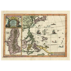
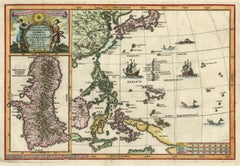
Antique Map of the Philippines and Guam by Scherer, circa 1702
Located in Langweer, NL
Rare and very attractive map of the Mariana Islands, Philippines, Korea, Japan and Indonesia with an inset of the island Guam.
Paper
Rare Map of the Philippines; Joseph Freewills Island & Mindanao South End, 1773
Located in Langweer, NL
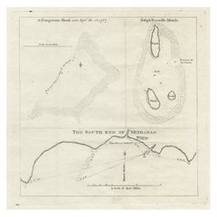
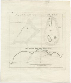
Three charts on one sheet titled '1) A Dangerous Shoal 2) Joseph Freewills Island 3) The South End of Mindanao'. It shows Captain Carteret's voyage: Saint George's Channel to Min...
Paper
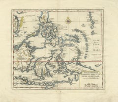
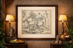
Antique Map Philippines – Moluccas, Celebes, Spice Islands – Tirion, c.1738
Located in Langweer, NL
Antique Map Philippines – Moluccas, Celebes, Spice Islands – Tirion, c.1738 This elegant 18th-century engraved map presents the Philippines together with the famed Spice Islands of ...
Paper
$359Sale Price|20% Off
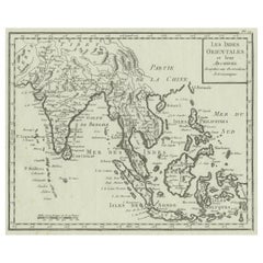
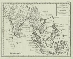
Antique Map of India, the East Indies and the Philippines
Located in Langweer, NL
Original antique map of India, the East Indies and the Philippines.
Paper
$434Sale Price|20% Off
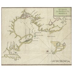
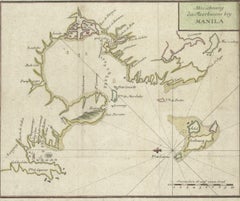
Antique Map of the Bay of Manila, Capital of the Philippines, 1763
Located in Langweer, NL
Map of the Bay of Manila, capital of the Philippines.
Paper
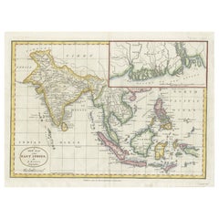
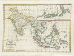
1782 Map of the East Indies – India, Siam, Philippines, Java, Borneo, Ganges
Located in Langweer, NL
1782 Bayly Map of the East Indies – India, Siam, Philippines, Java, Borneo, Ganges This finely engraved and vibrantly hand-colored map titled 'A New Map of the East Indies' was dr...
Paper
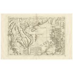
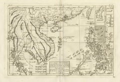
The Philippines & Southeast Asia – Bonne’s Antique Map of Indo-China, c.1780
Located in Langweer, NL
French Indian Ocean Islands – Bourbon, Isle de France & Rodrigues, Bonne c.1780 Description: This finely engraved 18th-century map depicts the key French-controlled islands of t...
Paper

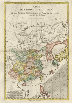
Antique Map of China, Korea, Japan and the Northern Philippines, circa 1780
Located in Langweer, NL
Interesting and detailed map of China, Korea, Japan and the Northern Philippines.
Paper
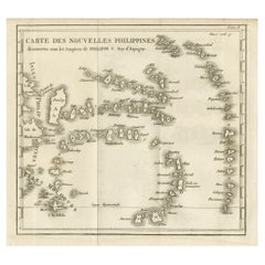
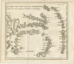
Old Map of the New Philippines – Early 18th Century Spanish East Indies, 1706
Located in Langweer, NL
Map of the New Philippines – “Carte des Nouvelles Philippines”, 1706 This 18th-century copperplate map, titled Carte des Nouvelles Philippines, depicts the island chain referred to ...
Paper
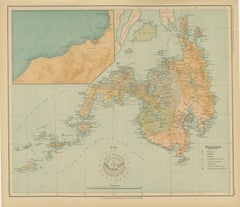
Map of the Island of Mindanao and the Sulu Archipelago – 1899
Located in Langweer, NL
This map, issued under the Islas Filipinas – Observaciones Meteorológicas y Sismológicas series, reflects the meticulous cartographic and geophysical work carried out at the Manila O...
Paper
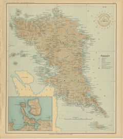
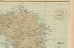
Map of the Island of Samar – Observatorio de Manila, 1899
Located in Langweer, NL
It provides an exceptionally detailed representation of the island of Samar, one of the largest and most geographically complex islands in the Philippines, located in the Eastern Vis...
Paper
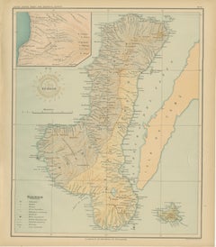

Map of the Island of Negros – Observatorio de Manila, 1899
Located in Langweer, NL
Title: Map of the Island of Negros – Observatorio de Manila, 1899 This superb chromolithographed map titled “Islas Filipinas – Isla de Negros” was created under the supervision of R...
Paper
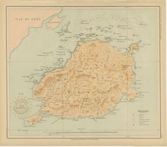
Map of the Island of Bohol – Observatorio de Manila, 1899
Located in Langweer, NL
Title: Map of the Island of Bohol – Observatorio de Manila, 1899 Description: This elegant chromolithographed map titled “Islas Filipinas – Isla de Bohol” was produced under the dir...
Paper
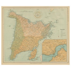
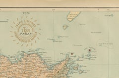
Map of the Island of Panay – Observatorio de Manila, 1899
Located in Langweer, NL
Originally drawn by Filipino draftsmen under Jesuit supervision, these maps represent a collaborative achievement of Spanish scientific tradition and American technical publication.
Paper
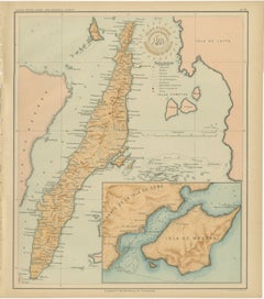
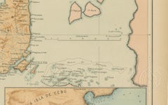
Map of the Island of Cebu – Observatorio de Manila, 1899
Located in Langweer, NL
Title: Map of the Island of Cebu – Observatorio de Manila, 1899 This fine chromolithographed map titled “Islas Filipinas – Isla de Cebú” was created under the direction of Rev.
Paper
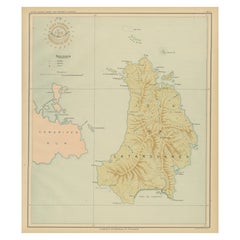
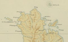
Map of the Island of Catanduanes – Observatorio de Manila, 1899
Located in Langweer, NL
Title: Map of the Island of Catanduanes – Observatorio de Manila, 1899 Description: This chromolithographed map titled “Islas Filipinas – Isla de Catanduanes” was published in 1899 ...
Paper
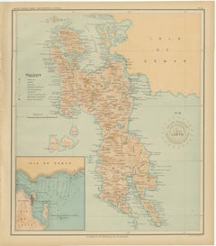

Map of the Island of Leyte – Observatorio de Manila, 1899
Located in Langweer, NL
Title: Map of the Island of Leyte – Observatorio de Manila, 1899 This beautifully detailed chromolithographed map titled “Islas Filipinas – Isla de Leyte” was created under the supe...
Paper
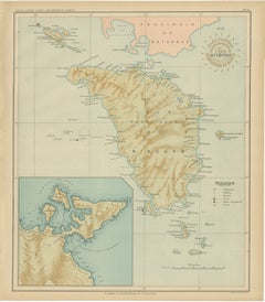
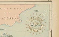
Map of the Island of Mindoro – Observatorio de Manila, 1899
Located in Langweer, NL
Title: Map of the Island of Mindoro – Observatorio de Manila, 1899 Description: This finely executed chromolithographed map titled “Islas Filipinas – Isla de Mindoro” was published ...
Paper
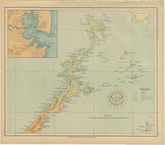
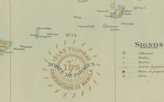
Map of the Northern Part of Palawan – Observatorio de Manila, 1899
Located in Langweer, NL
Originally executed by Filipino draftsmen under Jesuit supervision, this map exemplifies the synthesis of scientific precision and artistic presentation achieved by the Manila Observ...
Paper
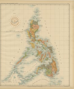
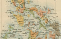
Antique Map of the Philippine Islands – Observatorio de Manila, 1899
Located in Langweer, NL
Produced by Filipino draftsmen working under Jesuit supervision, this map represents a landmark in Philippine cartography, bridging Spanish scientific efforts and early American admi...
Paper
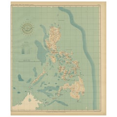
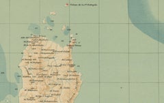
Orographic Map of the Philippine Islands – Observatorio de Manila, 1899
Located in Langweer, NL
Issued as Plate No. 4 from the Atlas de Filipinas, this map was part of a landmark project produced by Filipino draftsmen under Jesuit supervision and later published by the U.S.
Paper

$935Sale Price|20% Off
Large German Chart of the Philippines with Hand-Colored Borders, 1763
Located in Langweer, NL
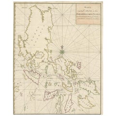
Large detailed chart of the islands of the Philippines. One of the most detailed charts of the Philippines of the era.
Paper
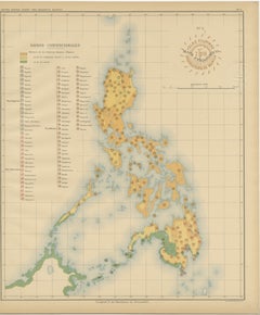
Ethnographic Map of the Philippine Islands – Observatorio de Manila, 1899
Located in Langweer, NL
Ethnographic Map of the Philippine Islands – Observatorio de Manila, 1899 This rare and fascinating chromolithographed map titled “Islas Filipinas – Mapa Etnográfico” was created in...
Paper
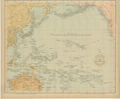
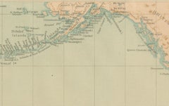
Map of the Pacific Ocean and Philippine Archipelago – Manila Observatory, 1899
Located in Langweer, NL
The map also includes Australia, New Zealand, and the Indonesian archipelago, situating the Philippines at the center of the Pacific world.
Paper
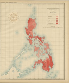
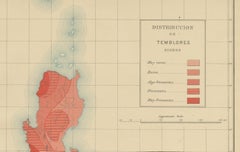
Seismic Activity Map of the Philippine Islands – Observatorio de Manila, 1899
Located in Langweer, NL
Published as Plate No. 6 in the Atlas de Filipinas, this scientific map represents one of the earliest visual analyses of seismic activity in the Philippines, a region known for its ...
Paper
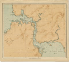
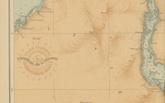
Map of the San Juanico Strait between Leyte and Samar – 1899
Located in Langweer, NL
It presents a superbly detailed chart of the narrow and winding San Juanico Strait, separating the islands of Leyte and Samar in the central Philippines. The map focuses on one of t...
Paper
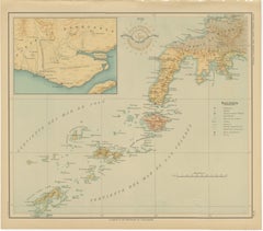
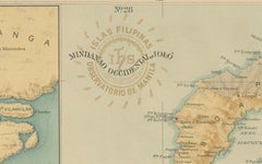
Map of Western Mindanao and the Sulu Archipelago – Observatorio de Manila, 1899
Located in Langweer, NL
Framing tips: A warm mahogany or deep walnut frame with an off-white mat will highlight the delicate colors of the map. This plate pairs beautifully with its companion sheet of Easte...
Paper
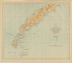
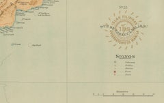
Map of Southern Palawan and the Balabac Islands – Observatorio de Manila, 1899
Located in Langweer, NL
Map of Southern Palawan and the Balabac Islands – Observatorio de Manila, 1899 This original chromolithograph titled “Islas Filipinas – Sur de Paragua y Balabac” was produced under ...
Paper
$1,132Sale Price|20% Off
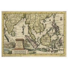
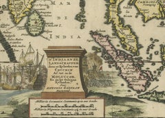
Striking Antique Map Centered on the Malay Peninsula, 1706
By Pieter Van Der Aa
Located in Langweer, NL
Striking map of the region from the Philippines and Formosa to India and the Maldives, centered on the Malay Peninsula.
Paper
Sold
H 13.19 in W 20.67 in D 0 in
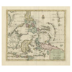
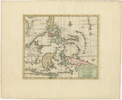
Old Original Map of the Philippines and Part of Indonesia 'Spice Islands', 1744
Located in Langweer, NL
Old map of the Philippines and part of Indonesia. Originates from 'Nieuwe Hand-Atlas, bestaande in eene Verzameling van eenige naauwkeurige Landkaarten (..)'.
Paper
Sold
H 12.8 in W 10.44 in D 0.08 in
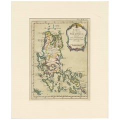
Antique Map of the Northern Portion of the Philippines by J.N. Bellin, 1764
Located in Langweer, NL
Detailed map of the Northern portion of the Philippines, extending from Batanes and Babuyanes to Mindonoro and Masbate, and centered on Luzon.
Paper
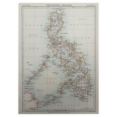
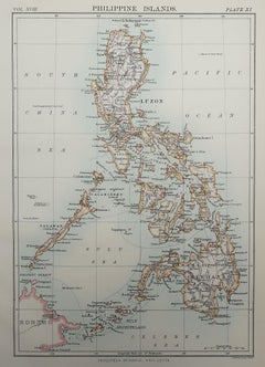
Original Antique Map of the Philippines, 1889
Located in St Annes, Lancashire
Great map of The Philippines Drawn and Engraved by W. & A.K.
Paper
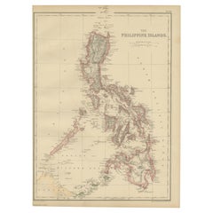
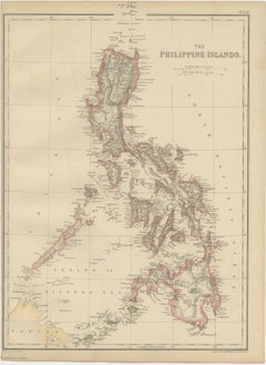
Antique Map of the Philippines by W. G. Blackie, 1859
Located in Langweer, NL
Antique map titled 'The Philippine Island'. Original antique map of the Philippines.
Paper
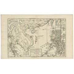
Antique Map of the Philippines by R. Bonne, 1787
Located in Langweer, NL
Antique map titled 'Les Isles Philippines, celle de Formose, Le Sud de La Chine, Les Royaumes de Tunkin de Cochinchine, De Camboge, de Slam des Laos'.
Paper
Sold
H 9.22 in W 6.7 in D 0.02 in
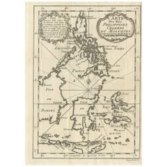
Antique Map of the Islands of the Philippines and Surrounding Islands, 1764
Located in Langweer, NL
Attractive map of the region showing the islands of the Philippines, Sulawesi, the Moluccas, Timor, Flores, Bali, and parts of Borneo and Java.
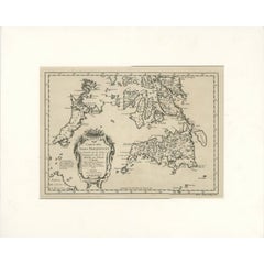

Antique Map of the Southern Philippines by J.N. Bellin, 1752
Located in Langweer, NL
An attractive and relatively rare black and white map of the Southern Philippines drawn by J.N. Bellin (1703-1772) and published in A.F.
Paper
Antique and vintage collectibles and curiosities can bring whimsy and wonder to any interior.
Decorating with old scientific instruments, historical memorabilia and vintage musical instruments, as well as other authentic collectibles and curiosities that can be found on 1stDibs, presents an opportunity to create a unique, natural history museum-like atmosphere in your home that can provoke conversation as often as it pays tribute to how far we’ve come in understanding our world.
And bringing collectibles and curiosities into your space is actually on trend — Wunderkammern, or curiosity cabinets, were all the rage in Europe during the 1500s and continued to have adherents there and in the U.S. in the following centuries. Today, however, they’re experiencing a real surge in popularity and influencing how many interior designers are furnishing and decorating homes — combining contemporary with antique, scientific with tribal, earthly with extraterrestrial, Les Lalanne tables with Flemish tapestries.
The original Wunderkammern were entire rooms filled with objects demonstrating their owners’ worldly knowledge: A proper one included artificiala or preciosa (objets d’art); naturalia (such as skeletons, shells, minerals); exotica (taxidermy or dried plants); and scientifica (scientific instruments), frequently alongside religious relics and ancient artifacts.
Pay tribute to a history of rich and diverse musical traditions that have taken shape all over the world by decorating your home with a collection of antique and vintage musical instruments — with a little help from strong hanging wire or some wall hooks, vintage brass instruments such as a gong, French horn or trumpet can help elevate a home office or complement the efforts you’ve made to ensure a welcoming vibe in your home’s entryway. Bells or antique wind instruments can add provocative metallic contrasts to dark woods as tabletop decorative objects.
Create an intriguing focal point with Georgian scientific instruments, such as stick barometers with mahogany cases or lacquered brass telescopes. These items stem from an era named for the monarchies of the four King Georges, who ruled England in succession starting in 1714 (plus King William’s reign, which lasted until 1837). Just as there was beautiful jewelry produced during the period that today is coveted by collectors, there is much to be found in the collectibles and curiosities realm too.
Wanderlust, nostalgia and a shared love of good design are contributing factors to certain trends in decorating — just as vintage trunks and luggage have reappeared as furniture or home accents in a bedroom or foyer, decorating with globes, maps or nautical objects is similarly rooted in the allure of travel and a penchant for the stylish finishing touch that collectibles bring to our homes.
Find a wide range of antique and vintage collectibles and curiosities on 1stDibs.
It's hard to resist the allure of a beautiful pool. So, go ahead and daydream about whiling away your summer in paradise.
It’s never too early for good design. These interiors combine elevated furnishings and a youthful spirit, resulting in spaces that are at once elegant and whimsical.
Produced in 1843, the well-preserved volume is evidence of the author's exacting specifications.
New or old, the coverlets add old-time charm to any space.
Get into the games! These items celebrate the events, athletes, host countries and sporting spirit.
French trendsetter and serial collector Daniel Rozensztroch tells us about his obsession with objects related to seafaring men.
The sought-after designer worked with the team at Hoffman Creative to produce a monograph that beautifully showcases some of Studio Shamshiri's most inspiring projects.
Italian writer and collector Umberto Pasti opens the doors to his remarkable cave of wonders in North Africa.