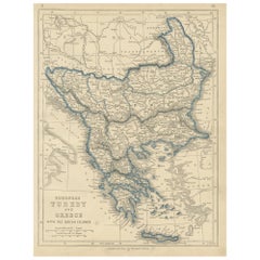
1852 Antique Map of European Turkey and Greece by J.W. Lowry
Located in Langweer, NL
Antique map titled 'European Turkey and Greece with the Ionian Islands'.
Category
Mid-19th Century American Antique Maps Of Greece
Materials
Paper
1852 Antique Map of European Turkey and Greece by J.W. Lowry
Located in Langweer, NL
Antique map titled 'European Turkey and Greece with the Ionian Islands'.
Paper
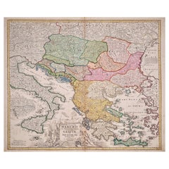
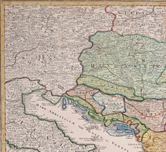
Hand-Colored 18th Century Homann Map of the Danube, Italy, Greece, Croatia
By Johann Baptist Homann
Located in Alamo, CA
There is a striking decorative cartouche and a large inset map of the Upper Danube region and excellent detail of the Greek and Croatian islands, as well as the straits from the Aege...
Paper
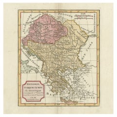
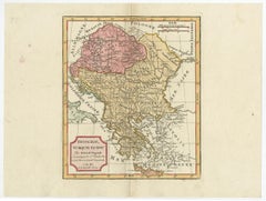
Old Engraved Map of Hungary, European Balkan Countries, Greece and Crete, 1806
Located in Langweer, NL
Antique map titled 'Hongrie, Turquie Europe'. Decorative map of Hungary, southeast European countries in the Balkan peninsula and Greece by Robert de Vaugondy, revised and publis...
Paper
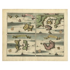
Antique Map of Nisari, Le Simie, Carchi Elimoia and Piscopia, Greece, 1687
Located in Langweer, NL
Sheet with four maps on one page showing Nisyros, Simi and other islands, Greece.
Paper

Original Antique Map of Leros and Kalimnos, and other islands, Greece, 1687
Located in Langweer, NL
heet with four maps on one page showing the islands Leros, Kalimnos, and other islands, Greece.
Paper
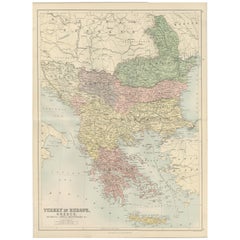
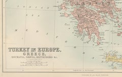
Antique Map of Turkey in Europe, Greece and the Balkans – Black’s Atlas, 1884
Located in Langweer, NL
Antique Map of Turkey in Europe, Greece and the Balkans – Black’s Atlas, 1884 Description: This finely engraved and hand-colored political map, titled “Turkey in Europe, Greece, Rou...
Paper
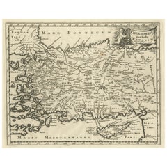
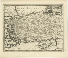
Antique Map of Asia Minor with part of the Greek Archipelago and Cyprus, 1729
Located in Langweer, NL
Decorative, smaller map of Asia Minor including part of the Greek Archipelago and Cyprus.
Paper
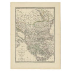
Antique 1842 Map of Turkey and Greece by Pierre M. Lapie, 68x50.5 cm
By Pierre M. Lapie
Located in Langweer, NL
Map of Turkey and Greece. This map originates from 'Atlas universel de géographie ancienne et moderne (..)' by Pierre M.
Paper
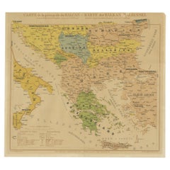
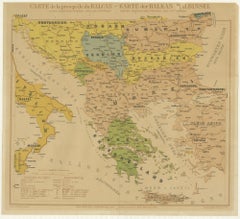
Old Map of the Balkans Incl Greece, Turkey, Serbia, Montenegro, Bulgaria, C.1900
Located in Langweer, NL
Original antique map of the Balkans including Greece, Turkey, Serbia, Montenegro, Bulgaria and surroundings.
Paper
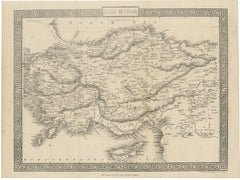
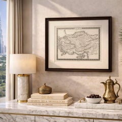
Antique Map of Asia Minor Turkey with Greek Key Border by Tallis, c.1850
Located in Langweer, NL
Antique Map of Asia Minor Turkey with Greek Key Border by Tallis, c.1850 A highly decorative and finely engraved map titled “Asia Minor,” depicting the region of Anatolia (modern-da...
Paper
$714Sale Price|20% Off
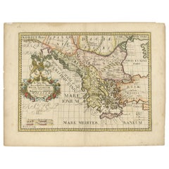
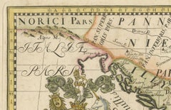
1710 Edward Wells Detailed Ancient Greece Map with Ornate Cartouche
Located in Langweer, NL
"1710 Edward Wells Map of Ancient Greece: A New Map of Antient Greece, Tirana, Morea, Ilyricum, Sicily, and Macedonia" Description of the Map: This map, produced around 1710 and en...
Paper
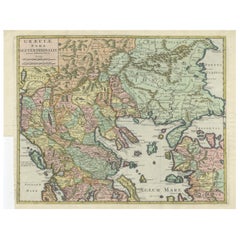

Antique Engraved Map of the Northern Part of Greece and the Aegean Sea, Ca.1730
Located in Langweer, NL
Title: "GRÆCIÆ PARS Septentrionalis". Hand Coloured Engraved map by G. Delisle of the northern part of the Aegean. In the top left corner a distance scale included. Condition...
Paper
$426Sale Price|20% Off
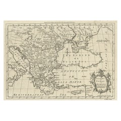
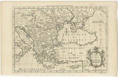
Map of the Ottoman Empire in Europe, incl. the Balkans, Greece & Turkey, c.1760
Located in Langweer, NL
Map of the Ottoman Empire in Europe, the Balkans, Greece, and Turkey in Europe.
Paper
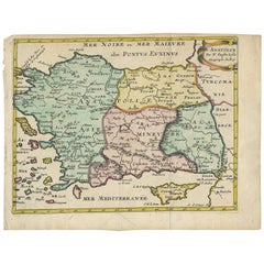
Antique Map of Turkey with Cyprus and Greece Islands by N. Sanson, circa 1652
Located in Langweer, NL
Antique map of Turkey, Anatolie with Cyprus and the Greece islands.
Paper
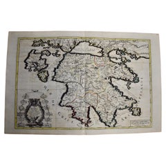
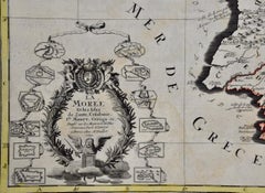
Southern Greece: A Large 17th C. Hand-colored Map by Sanson and Jaillot
By Nicolas Sanson
Located in Alamo, CA
This large original hand-colored copperplate engraved map of southern Greece and the Pelopponese Peninsula entitled "La Moree Et Les Isles De Zante, Cefalonie, Ste.
Paper
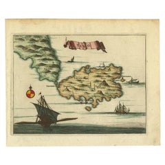
Antique Map of the Island of Tinos by Dapper, 1687
Located in Langweer, NL
Antique map titled 'Tino.' This original antique map shows the island of Tinos, Greece.
Paper
$417Sale Price|20% Off
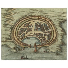
Antique Engraving with a Plan of Rhodes, Greece, 1688
Located in Langweer, NL
Description: Antique map, titled: 'Rhodos.' - Plan of Rhodes, Greece.
Paper
$241Sale Price|20% Off
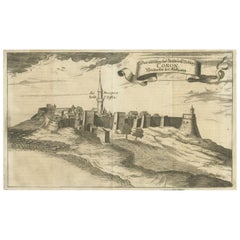
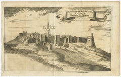
Original Copper Engraving of Koroni 'or Corone', Greece, 1688
Located in Langweer, NL
Copper engraving of Koroni (or Corone), Greece. This print originates from 'Ruhm-belorberter Triumph-leuchtender und Glantz-erhoheter Kriegs-Helm dero Rom.Kaiser (..)' by Christoph B...
Paper
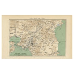
Antique Map of the Region of Athens from a German Atlas of 1893
Located in Langweer, NL
Antique map titled 'Umgebung von Athen'. Original antique map of the region of Athens, Greece.
Paper
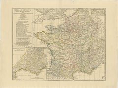
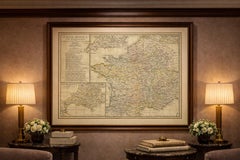
Antique Map of Ancient Gaul – Roman France & Low Countries, Engraving c.1818
Located in Langweer, NL
It pairs exceptionally well with companion maps of Ancient Britain, Italy, Greece, and the Roman Empire from the same series.
Paper
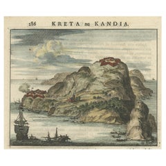

Antique Print of a Greece Island, Most Likely Gavdopoula South of Crete, 1688
Located in Langweer, NL
Description: Untitled print of one of the islands of Greece, most likely Gavdopoula (located south of Crete). Gavdopoula is an islet located north-west of its larger neighbour, G...
Paper
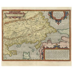
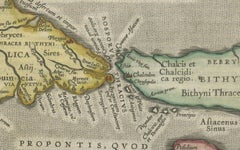
Thraciae Veteris Typus – 1618 Ortelius Map of Ancient Thrace with Hand Color
Located in Langweer, NL
The map encompasses the northeastern region of Greece and the northwestern part of Turkey, detailing the geography of the ancient Thracian lands.
Paper
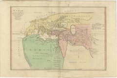
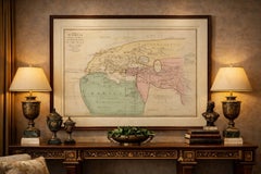
World According to Herodotus – Antique Classical World Map, Wilkinson 1819
Located in Langweer, NL
World According to Herodotus – Antique Classical World Map, Wilkinson 1819 Description: This fascinating antique map titled The World According to the Idea of Herodotus presents a r...
Paper
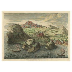
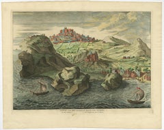
Old Engraving the City and Harbour of Pathmos, Patmos or Patimo in Greece, 1725
Located in Langweer, NL
Antique print, titled: 'Gezicht van het eiland en de haven van Pathmos (…).' This plate shows a view of the city and harbour of Pathmos, Patmos or Patimo in Greece. This plate or...
Paper
$344Sale Price|20% Off
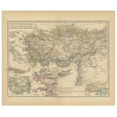
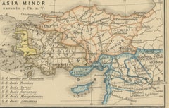
Asia Minor and Provinces: A Roman Empire Map from Spruner-Menke Atlas, 1880
Located in Langweer, NL
**Ancient Civilizations**: This area was the cradle of numerous ancient civilizations and the map likely includes cities of ancient Greek, Hellenistic, and Roman significance, reflec...
Paper
$454Sale Price|20% Off
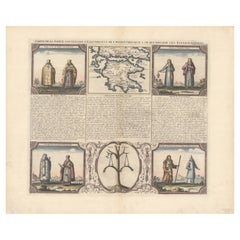
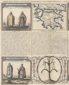
Small Map of Southern Greece Together with Five Greek Religious Scenes, ca.1720
Located in Langweer, NL
"Carte de la Grece Contenant l'Etat Present de l'Eglise Grecque & ce qui Regarde les Ecclesiastiques", Chatelain, Henry Abraham Subject: Southern Greece Period: 1720 (circa) Publica...
Paper
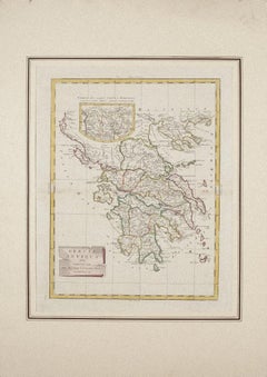
Map of Ancient Greece - Original Etching by Antonio Zatta - 1785
By Antonio Zatta 1
Located in Roma, IT
This Map of ancient Greek is an etching realized by Antonio Zatta in Venice in 1785.
Etching
$348
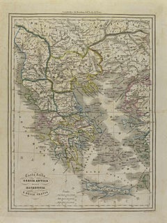
Map of Ancient Greece of Macedonia and... - Lithograph by Auguste Wahlen - 1844
By Auguste Wahlen
Located in Roma, IT
Map of Ancient Greece of Macedonia and Thrace is a lithograph made by Auguste Wahlen in 1844.
Lithograph
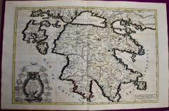
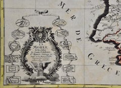
Southern Greece: A Large 17th Century Hand-colored Map By Sanson and Jaillot
By Nicholas Sanson d'Abbeville
Located in Alamo, CA
This large original hand-colored copperplate engraved map of southern Greece and the Pelopponese Peninsula entitled "La Moree Et Les Isles De Zante, Cefalonie, Ste.
Engraving
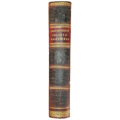
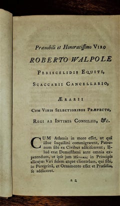
Demosthenis Selectae Orationes by Richard Mounteney 1791 7th Edition
Located in Dallas, TX
Title: Demosthenis Selectae Orationes Ad Codices … Publisher: J.Pote, J.Rivington et Filios, London Publication Date: 1791 Binding: Full-Leather Book condition: Very good...
Leather, Paper
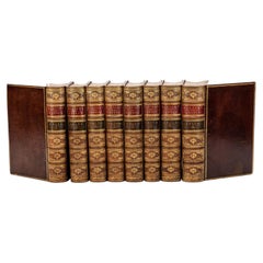

$3,750 / set
8 vol. George Grote, A History of Greece
Located in New York, NY
Illustrated portrait frontispiece and 16 maps throughout displaying regions of Greece. Bound in contemporary polished calf, raised bands on spine, beautifully gilt compartment panels...
Gold
Antique and vintage collectibles and curiosities can bring whimsy and wonder to any interior.
Decorating with old scientific instruments, historical memorabilia and vintage musical instruments, as well as other authentic collectibles and curiosities that can be found on 1stDibs, presents an opportunity to create a unique, natural history museum-like atmosphere in your home that can provoke conversation as often as it pays tribute to how far we’ve come in understanding our world.
And bringing collectibles and curiosities into your space is actually on trend — Wunderkammern, or curiosity cabinets, were all the rage in Europe during the 1500s and continued to have adherents there and in the U.S. in the following centuries. Today, however, they’re experiencing a real surge in popularity and influencing how many interior designers are furnishing and decorating homes — combining contemporary with antique, scientific with tribal, earthly with extraterrestrial, Les Lalanne tables with Flemish tapestries.
The original Wunderkammern were entire rooms filled with objects demonstrating their owners’ worldly knowledge: A proper one included artificiala or preciosa (objets d’art); naturalia (such as skeletons, shells, minerals); exotica (taxidermy or dried plants); and scientifica (scientific instruments), frequently alongside religious relics and ancient artifacts.
Pay tribute to a history of rich and diverse musical traditions that have taken shape all over the world by decorating your home with a collection of antique and vintage musical instruments — with a little help from strong hanging wire or some wall hooks, vintage brass instruments such as a gong, French horn or trumpet can help elevate a home office or complement the efforts you’ve made to ensure a welcoming vibe in your home’s entryway. Bells or antique wind instruments can add provocative metallic contrasts to dark woods as tabletop decorative objects.
Create an intriguing focal point with Georgian scientific instruments, such as stick barometers with mahogany cases or lacquered brass telescopes. These items stem from an era named for the monarchies of the four King Georges, who ruled England in succession starting in 1714 (plus King William’s reign, which lasted until 1837). Just as there was beautiful jewelry produced during the period that today is coveted by collectors, there is much to be found in the collectibles and curiosities realm too.
Wanderlust, nostalgia and a shared love of good design are contributing factors to certain trends in decorating — just as vintage trunks and luggage have reappeared as furniture or home accents in a bedroom or foyer, decorating with globes, maps or nautical objects is similarly rooted in the allure of travel and a penchant for the stylish finishing touch that collectibles bring to our homes.
Find a wide range of antique and vintage collectibles and curiosities on 1stDibs.
It's hard to resist the allure of a beautiful pool. So, go ahead and daydream about whiling away your summer in paradise.
It’s never too early for good design. These interiors combine elevated furnishings and a youthful spirit, resulting in spaces that are at once elegant and whimsical.
Produced in 1843, the well-preserved volume is evidence of the author's exacting specifications.
New or old, the coverlets add old-time charm to any space.
Get into the games! These items celebrate the events, athletes, host countries and sporting spirit.
French trendsetter and serial collector Daniel Rozensztroch tells us about his obsession with objects related to seafaring men.
The sought-after designer worked with the team at Hoffman Creative to produce a monograph that beautifully showcases some of Studio Shamshiri's most inspiring projects.
Italian writer and collector Umberto Pasti opens the doors to his remarkable cave of wonders in North Africa.