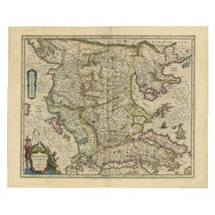
Antique Map of Macedonia by the Famous Mapmaker Blaeu, c.1650
Located in Langweer, NL
Later he started producing map and sea charts, including his first world map in 1605.
Category
17th Century Antique World Maps
Materials
Paper
Antique Map of Macedonia by the Famous Mapmaker Blaeu, c.1650
Located in Langweer, NL
Later he started producing map and sea charts, including his first world map in 1605.
Paper
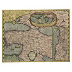
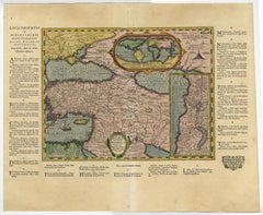
Scarce Antique Map of the Middle East, Surrounded by Latin Text, 1624
Located in Langweer, NL
Later, this map was copied by Hornius for his World Atlas (1653).
Paper
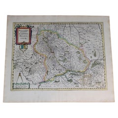
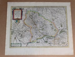
1633 Map Entitled "Beauvaisis Comitatus Belova Cium, Ric.0002
Located in Norton, MA
Jodocus Hondius the Elder * 1588 Maps in The Mariner\\\\\\\\\\\\\\\'s Mirrour (Waghenaer/Ashley) * 1590 World Map in two hemispheres illustrating Drake\\\\\\\\\\\\\\\'s circumnavigat...
Paper
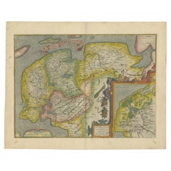
Antique Map of Friesland Also Know as the Peacock Map, C.1580
Located in Langweer, NL
He established a business in dealing with books and drawing maps. His first remarkable map was a 8 sheet world map in the year 1564, but only three copies have survived.
Paper
$154Sale Price|40% Off
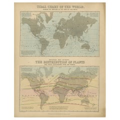
Antique Tidal Chart and Botanical Map, 1843
Located in Langweer, NL
Two antique world maps on one sheet. The upper map is a tidal chart of the world and shows the progress of the wave of high water.
Paper
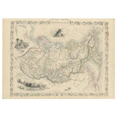
Antique Map of Russia in Asia by Tallis, c.1851
Located in Langweer, NL
For the Great Exhibition of 1851, Tallis published the Illustrated World Atlas, one of the last series of decorative world maps ever produced.
Paper
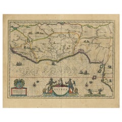
Antique Map of Guinea in West Africa by Blaeu, c.1638
Located in Langweer, NL
Later he started producing map and sea charts, including his first world map in 1605.
Paper
$210Sale Price|20% Off
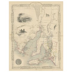
Antique Map of South Australia by Tallis, 1851
By Thomas Kitchin
Located in Langweer, NL
For the Great Exhibition of 1851, Tallis published the Illustrated World Atlas, one of the last series of decorative world maps ever produced.
Paper
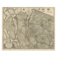

Antique Map of Delfland and Schieland by Hondius, c.1630
Located in Langweer, NL
He was born in Amsterdam, the son of the famous cartographer Jodocus Hondius who had started a map-making business in the city. Henricus obtained the original plates of the Mercator ...
Paper
$420Sale Price|20% Off
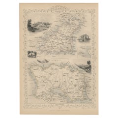
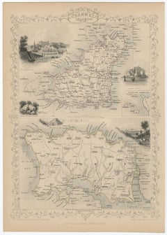
Original Antique Map of the Channel Islands, Incl. Decorative Vignettes, 1851
Located in Langweer, NL
For the Great Exhibition of 1851, Tallis published the Illustrated World Atlas, one of the last series of decorative world maps ever produced.
Paper
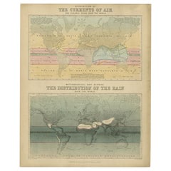
Antique Map of the Distribution of Air and Rain by Reynolds, 1843
Located in Langweer, NL
Two antique world maps on one sheet. The upper map shows the distribution of the currents of air and variable winds over the world.
Paper
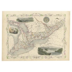
Beautiful Decorative Hand-Colored Antique Map of West Canada, 1851
Located in Langweer, NL
For the Great Exhibition of 1851, Tallis published the Illustrated World Atlas, one of the last series of decorative world maps ever produced.
Paper
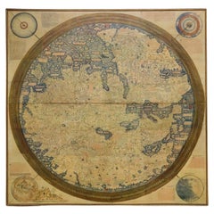
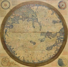
Monumental Framed Medieval Facsimile Map Of The World Fra Mauro Wood Wall Panel
Located in Forney, TX
He is celebrated for creating the most detailed, advanced, and accurate map of the world up until that time, arguably one of if not the most important map in history, the Fra Mauro m...
Linen, Wood, Paper

$700Sale Price|20% Off
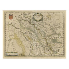
Map of the Duchy Clivia & Ravestein, Brabant in The Netherlands & Germany, 1635
Located in Langweer, NL
Later he started producing map and sea charts, including his first world map in 1605.
Paper
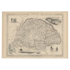
Old Engraved Map of Hungary with Decorative Vignettes, 1851
Located in Langweer, NL
For the Great Exhibition of 1851, Tallis published the Illustrated World Atlas, one of the last series of decorative world maps ever produced.
Paper
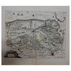
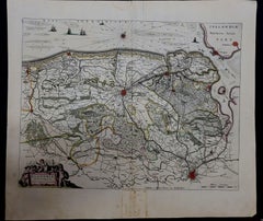
1643 Willem&Joan Blaeu Map NW Flanders "Flandriae Teutonicae Pars Prientalior
Located in Norton, MA
Later he started producing maps and sea charts, including his first world map in 1605.
Paper
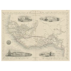
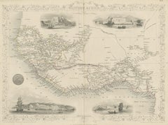
Antique Map of Western Africa with Vignettes of Cape Coast Castle etc, ca.1851
Located in Langweer, NL
For the Great Exhibition of 1851, Tallis published the Illustrated World Atlas, one of the last series of decorative world maps ever produced.
Paper
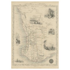
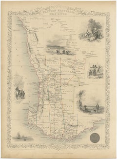
Map of Western Australia & Swan River, insets of Perth, Aboriginals, Sheep, 1851
Located in Langweer, NL
For the Great Exhibition of 1851, Tallis published the Illustrated World Atlas, one of the last series of decorative world maps ever produced.
Paper
$420Sale Price|20% Off
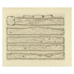
Antique Map Made After a Roman Papyrus Travel Map, Known as Peutinger Map, 1773
Located in Langweer, NL
We sell original antique maps to collectors, historians, educators and interior decorators all over the world.
Paper
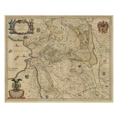
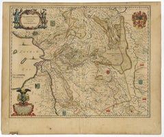
$446Sale Price|20% Off
Original Antique Map of the Dutch Provinces of Overijssel and Drenthe, 1635
Located in Langweer, NL
Later he started producing map and sea charts, including his first world map in 1605.
Paper
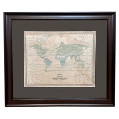

1870 "Johnson's World" by Prof. A. Guyot, Published by A. J. Johnson
Located in Colorado Springs, CO
At bottom right, the "Coal" world map identifies areas with coal deposits and diamond mines.
Paper
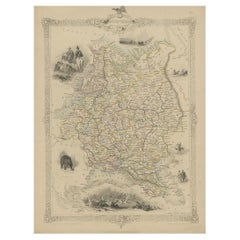
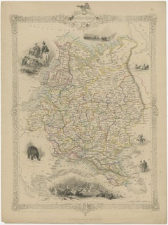
Map of Russia with Vignettes of the Neoskoi Prospect, St. Petersburg, ca.1851
Located in Langweer, NL
For the Great Exhibition of 1851, Tallis published the Illustrated World Atlas, one of the last series of decorative world maps ever produced.
Paper
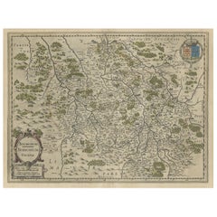

Old Map of the Bourbonnais Region of France, ca.1630
Located in Langweer, NL
In 1552 he moved to Duisburg, Germany where he published his famous 18-sheet world map in 1569 with his own new projection, today called Mercator projection.
Paper
$1,633Sale Price|20% Off
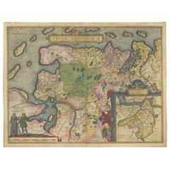
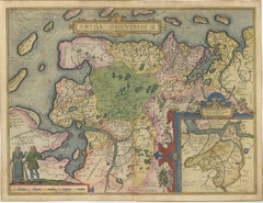
Map of East Frisian Islands & Northwestern Tip of Germany, Ostfriesland, c.1595
Located in Langweer, NL
He established a business in dealing with books and drawing maps. His first remarkable map was a 8 sheet world map in the year 1564, but only three copies have survived.
Paper

$980Sale Price|25% Off
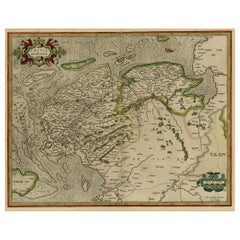
Early Antique Map of the Dutch Provinces of Friesland and Groningen, 1604
Located in Langweer, NL
In 1552 he moved to Duisburg, Germany where he published his famous 18-sheet world map in 1569 with his own new projection, today called Mercator projection.
Paper
$606Sale Price|20% Off
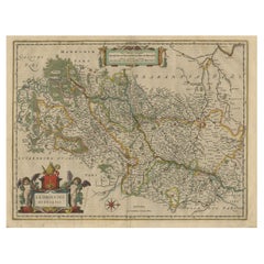
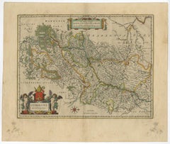
Antique Map of Dutch & Belgium Provinces Limburg, Namen and Ardennes, ca.1635
Located in Langweer, NL
Later he started producing map and sea charts, including his first world map in 1605.
Paper
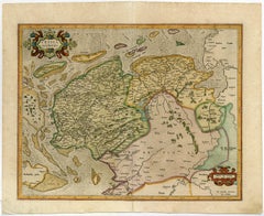
$1,073Sale Price|20% Off
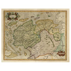
Old Map of the Dutch Provinces of Friesland and Groningen, The Netherlands, 1604
Located in Langweer, NL
In 1552 he moved to Duisburg, Germany where he published his famous 18-sheet world map in 1569 with his own new projection, today called Mercator projection.
Paper
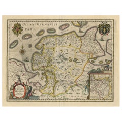
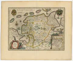
$1,726Sale Price|20% Off
Map of East Friesland, The Netherlands & the Area Emden & Norden, Germany, 1635
Located in Langweer, NL
Later he started producing map and sea charts, including his first world map in 1605.
Paper
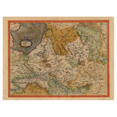
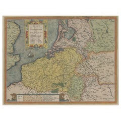
Early Antique Map of Gelderland and Overijssel in the Netherlands, c.1625
Located in Langweer, NL
We sell original antique maps to collectors, historians, educators and interior decorators all over the world.
Paper

$1,166Sale Price|20% Off
Original Antique Map the Imperial States of the Habsburg Netherlands, 1609
Located in Langweer, NL
In 1552 he moved to Duisburg, Germany where he published his famous 18-sheet world map in 1569 with his own new projection, today called Mercator projection.
Paper
$28,000Sale Price|20% Off
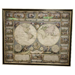
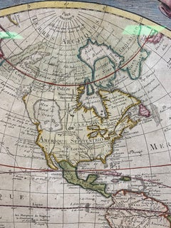
Colored wall map of the WORLD
By Chambon
Located in ZWIJNDRECHT, NL
Longschamps. A huge wall map of the world in two hemispheres printed on two sheets, depicting the Eastern and Western hemispheres supported by two male figures, decorated at the bo...
Wood, Paper
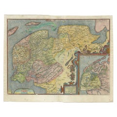
Old Antique Map of the Province of Friesland, the Netherlands, c.1580
Located in Langweer, NL
He established a business in dealing with books and drawing maps. His first remarkable map was a 8 sheet world map in the year 1564, but only three copies have survived.
Paper
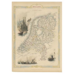
Antique Map of Holland with Colorful Vignettes, 1851
Located in Langweer, NL
For the Great Exhibition of 1851, Tallis published the Illustrated World Atlas, one of the last series of decorative world maps ever produced.
Paper
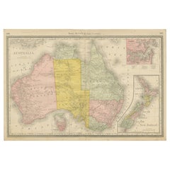
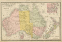
Antique Australia & New Zealand Map Wall Art – Rand McNally Atlas, c.1888
Located in Langweer, NL
Technique: Color lithograph Maker: Rand, McNally & Co., United States, late 19th–early 20th century Keywords: antique australia map, australia wall art, new zealand antique map,...
Paper
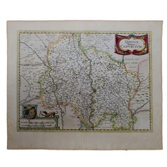
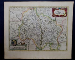
1625 Mercator Map of the Provenience of Quercy, "Quercy Cadvrcivm Ric.0013
Located in Norton, MA
In 1552 he moved to Duisburg, Germany where he published his famous 18-sheet world map in 1569 with his own new projection, today called Mercator projection.
Paper
$513Sale Price|20% Off
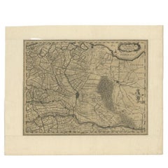
Original Antique Map of Utrecht in the Netherlands by Blaeu, C.1645
Located in Langweer, NL
Later he started producing map and sea charts, including his first world map in 1605.
Paper
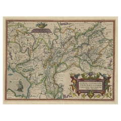

Superb Antique Map of the Province of Gelderland, the Netherlands, ca.1575
Located in Langweer, NL
He established a business in dealing with books and drawing maps. His first remarkable map was a 8 sheet world map in the year 1564, but only three copies have survived.
Paper
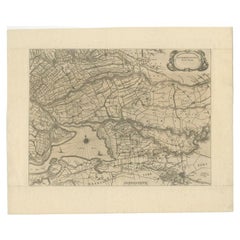

Original Antique Map of Zuid-Holland in the Netherlands by Blaeu, C.1645
Located in Langweer, NL
Later he started producing map and sea charts, including his first world map in 1605.
Paper
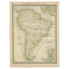
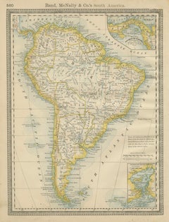
Antique South America Map Wall Art – Brazil, Andes & Amazon, Rand McNally, 1888
Located in Langweer, NL
Technique: Color lithograph Maker: Rand, McNally & Co., United States, late 19th century Keywords: antique south america map, south america wall art, rand mcnally map, brazil map an...
Paper
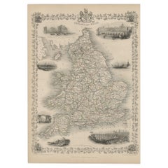
Antique Map of England and Wales with Decorative Vignettes, 1851
Located in Langweer, NL
For the Great Exhibition of 1851, Tallis published the Illustrated World Atlas, one of the last series of decorative world maps ever produced.
Paper
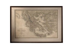
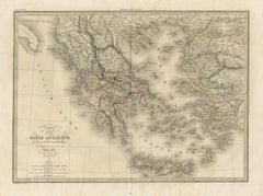
Antique Map of Ancient Greece, Mediterranean Balkans, Lapie Tardieu 1838
Located in Langweer, NL
Keywords: antique Greece map, Ancient Greece map, Lapie atlas 1838, Tardieu engraving, Mediterranean map antique, Balkans map 19th century, classical antiquity map, Aegean islands ma...
Paper
$233Sale Price|20% Off
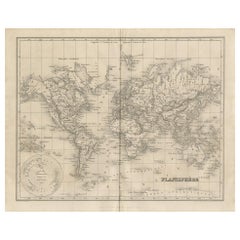
Antique Map of the World by Balbi '1847'
Located in Langweer, NL
Antique map titled 'Planisphère'. Original antique map of the world.
Paper
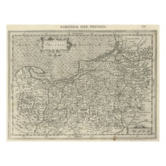

Old Original Engraving of Prussia on the Southeast Coast of the Baltic Sea, 1632
Located in Langweer, NL
He is most renowned for creating the 1569 world map based on a new projection which represented sailing courses of constant bearing (rhumb lines) as straight lines—an innovation that...
Paper
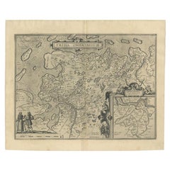
Antique Map of East Frisia by Ortelius, c.1595
Located in Langweer, NL
He established a business in dealing with books and drawing maps. His first remarkable map was a 8 sheet world map in the year 1564, but only three copies have survived.
Paper
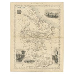
Antique Map of British Guayana with Insets of Georgetown, Devil's Rock Etc, 1851
Located in Langweer, NL
For the Great Exhibition of 1851, Tallis published the Illustrated World Atlas, one of the last series of decorative world maps ever produced.
Paper
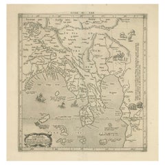
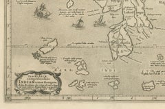
1698 Mercator Ptolemaic Map of Asia East of the Ganges
Located in Langweer, NL
In 1552, Mercator relocated to Duisburg, Germany, where he published his famous 18-sheet world map in 1569, introducing the Mercator projection.
Paper
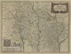
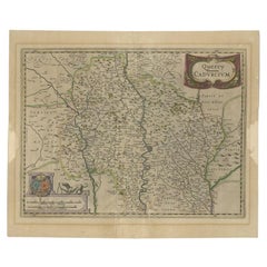
Antique Map of the French Province of Quercy, ca.1625
Located in Langweer, NL
We sell original antique maps to collectors, historians, educators and interior decorators all over the world.
Paper
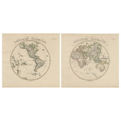
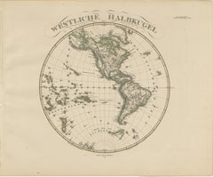
Western & Eastern Hemisphere Maps – World Double Hemisphere Engravings 1857
Located in Langweer, NL
Western & Eastern Hemisphere Maps – World Double Hemisphere Engravings 1857 These beautiful antique prints show two complementary hemispheric maps titled “Westliche Halbkugel” (West...
Paper
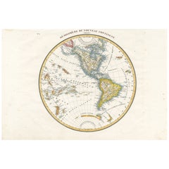
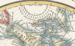
Antique Map of the Western Hemisphere by Lapie, France, circa 1830
Located in Langweer, NL
It is part of a hemispherical world map set attributed to the renowned French cartographers Pierre Lapie or his son Alexandre Émile Lapie.
Paper
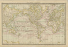
World Antique Map c.1888 – Rand McNally, Continents & Territories
Located in Langweer, NL
Antique Map of Mexico – Rand McNally, circa 1888 This antique map titled “Rand, McNally & Co.’s Mexico” was published around 1888 and depicts Mexico in the late 19th century, a peri...
Paper
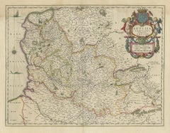
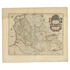
Antique Map of Artois in the North of France by Famous Mapmaker Blaeu, c.1640
Located in Langweer, NL
Later he started producing map and sea charts, including his first world map in 1605.
Paper
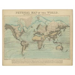
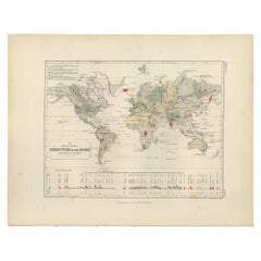
Antique Physical Map of the World by Reynolds, 1849
Located in Langweer, NL
Antique physical map of the world, showing the discoveries of the most eminent modern geographers.
Paper
$186Sale Price|20% Off
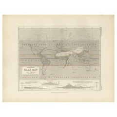
Antique Rain Map of the World by Johnston '1850'
Located in Langweer, NL
Antique map titled 'Hyetographic or Rain Map of the World'.
Paper
$280Sale Price|20% Off
Antique Geological Map of the World by Johnston '1850'
Located in Langweer, NL
Original antique geological map of the world. This map originates from 'The Physical Atlas of Natural Phenomena' by A.K.
Paper

$280Sale Price|20% Off
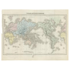
Antique Map of the World by D'Urville '1853'
Located in Langweer, NL
Antique map titled 'Voyage Autour du Monde'. Original map of the world.
Paper
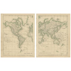
$233Sale Price / set|20% Off
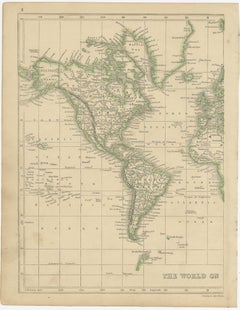
Antique Map of the World in two sheets, 1852
Located in Langweer, NL
Antique map titled 'The World on Mercator's Projection'.
Paper
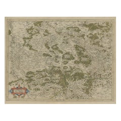
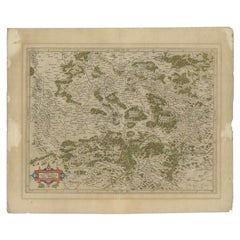
Antique Map of the Southern Lorraine Region by Mercator, c.1625
By Gerard Mercator
Located in Langweer, NL
We sell original antique maps to collectors, historians, educators and interior decorators all over the world.
Paper
It's hard to resist the allure of a beautiful pool. So, go ahead and daydream about whiling away your summer in paradise.
It’s never too early for good design. These interiors combine elevated furnishings and a youthful spirit, resulting in spaces that are at once elegant and whimsical.
Produced in 1843, the well-preserved volume is evidence of the author's exacting specifications.
New or old, the coverlets add old-time charm to any space.
Get into the games! These items celebrate the events, athletes, host countries and sporting spirit.
French trendsetter and serial collector Daniel Rozensztroch tells us about his obsession with objects related to seafaring men.
The sought-after designer worked with the team at Hoffman Creative to produce a monograph that beautifully showcases some of Studio Shamshiri's most inspiring projects.
Italian writer and collector Umberto Pasti opens the doors to his remarkable cave of wonders in North Africa.