Sumba Map

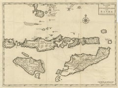
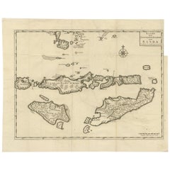
Antique Map of the Banda Islands in Indonesia by Valentijn, 1726

Antique Map of the Banda Islands in Indonesia by Valentijn, 1726

Located in Langweer, NL

Map of the islands in the southwestern part of the Banda Sea including Sumba, Flores and Timor.

Category

Antique Mid-18th Century Dutch Maps

Materials

Paper
Recent Sales

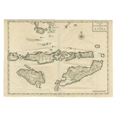
Antique Map of Sumba, Flores and Timor Island by Valentijn, 1726

Antique Map of Sumba, Flores and Timor Island by Valentijn, 1726

Located in Langweer, NL

Map of the islands in the southwestern part of the Banda Sea including Sumba, Flores and Timor.

Category

Antique 18th Century Maps

Materials

Paper

Get Updated with New Arrivals
Save "Sumba Map", and we’ll notify you when there are new listings in this category.

Read More