Want more images or videos?
Request additional images or videos from the seller
1 of 14

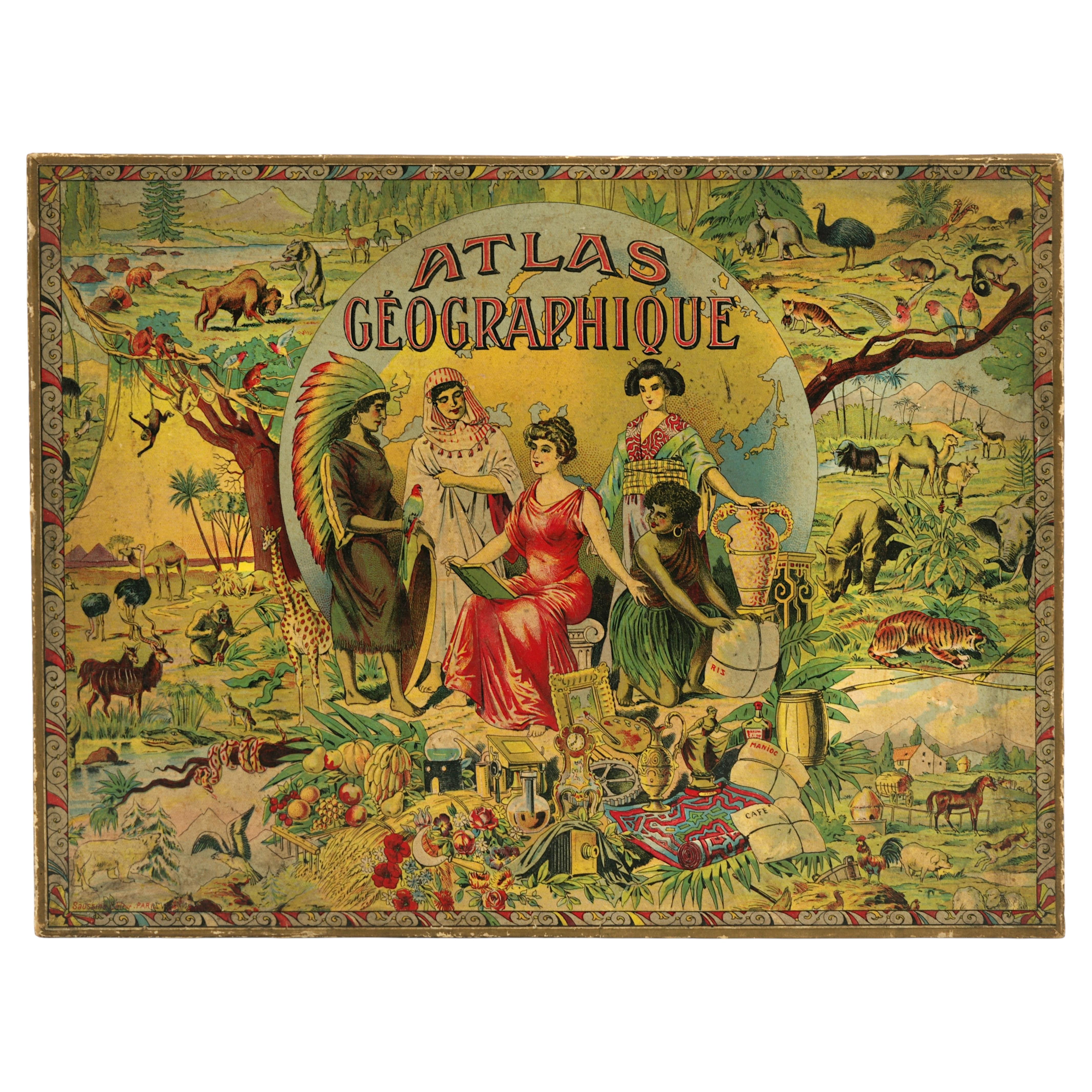
Atlas Geographique Boxed French Geography Game Complete with 6 Maps Circa 1890

$750
£566.20
€658.83
CA$1,058.51
A$1,061.84
CHF 620.10
MX$12,928.23
NOK 7,120.54
SEK 7,333.05
DKK 4,924.56

About the Item

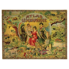
This extraordinary and complete puzzle set consists of maps of the world, Americas, Africa, Asia, Europe and France. Published by Charles Verneau in Paris, the maps are on all sides of the 35 cubes. Getting the puzzles in the correct order is not easy and reminds one of working with a Rubik's Cube. The cubes fit into the original wooden box that has an illustration of the world surrounded by female representations of the continents. The guide maps are stored in the box above the wooden cubes. A rare cartographic curiosity that has survived in good condition especially given its purpose as a game. Correctly arranged, the cubes make the following maps, each measuring approximately 8 x 11": A. Mappemonde en Deux Hemispheres. B. Amerique. C. Afrique. D. Asie. E. Europe. F. France par Departements. A fascinating Victorian era parlor game. Circa 1880-1900.
  • Dimensions:
    Height: 2 in (5.08 cm)Width: 11 in (27.94 cm)Depth: 8 in (20.32 cm)
  • Style:
    Victorian (Of the Period)
  • Materials and Techniques:
  • Place of Origin:
  • Period:
  • Date of Manufacture:
    Circa 1880-1900
  • Condition:
    Wear consistent with age and use. Minor losses.
  • Seller Location:
    San Francisco, CA
  • Reference Number:
    Seller: A1125-111stDibs: LU855248380792

More From This Seller

View All
German 8" Diameter Table Globe by Mapmaker Dietrich Reimers (1818-1899)

German 8" Diameter Table Globe by Mapmaker Dietrich Reimers (1818-1899)

Located in San Francisco, CA

Dietrich Reimer was a significant German globe manufacturer in the 19th to early 20th centuries. His work was renowned for its highly detailed political and physical maps showing oc...

Category

Early 20th Century German Victorian Globes

Materials

Hardwood, Paper

Histoire De Russie Published 1797 with 36 Engraved Plates by E.A. David

Histoire De Russie Published 1797 with 36 Engraved Plates by E.A. David

Located in San Francisco, CA

The History of Russia in 2 volumes published 1797, in French. A lovely 2 volume first edition titled "Histoire de Russie" by Blin de Sainmore, French poet, playwright and historian (...

Category

Antique Late 18th Century French Books

Materials

Leather, Paper

Europe During the Middle Ages by Henry Hallam 3 Volumes Leatherbound

Europe During the Middle Ages by Henry Hallam 3 Volumes Leatherbound

Located in San Francisco, CA

Hallam's View of the State of Europe During the Middle Ages, complete in 3 leather bound octavo volumes with marbleized boards. The volumes contain the bookplate of former owner, Cha...

Category

Antique 1830s English Books

Materials

Leather, Paper

French Napoleon III Period Brass Inlaid Rosewood and Walnut Lap Desk

French Napoleon III Period Brass Inlaid Rosewood and Walnut Lap Desk

Located in San Francisco, CA

A very pretty French Napoleon III period brass inlaid rosewood and kingwood lap desk of fine quality. This portable writing desk is centered by a beautifully painted landscape scene....

Category

Antique Late 19th Century French Napoleon III Decorative Boxes

Materials

Brass

Table Parlor Kaleidoscope by C.G. Bush & Co., 1875

Table Parlor Kaleidoscope by C.G. Bush & Co., 1875

Located in San Francisco, CA

A scarce American kaleidoscope made and signed by Charles Bush consisting of a tubular barrel covered with pebbled paper with a cylindrical eye piece and a brass mounted chamber on t...

Category

Antique 1870s American Victorian Nautical Objects

Materials

Brass

Chronicles of the Bastile First Series, The Bertaudiere by Louis Alexis Chamerov

Chronicles of the Bastile First Series, The Bertaudiere by Louis Alexis Chamerov

Located in San Francisco, CA

Chronicles of the Bastile First Series, the Bertaudiere by Louis Alexis Chamerovzow, illustrated by Isaac Robert Cruikshank (1789-1856) Published London; T. C. Newby, 72, Mortimer St...

Category

Antique 1840s English Books

Materials

Leather, Paper

You May Also Like

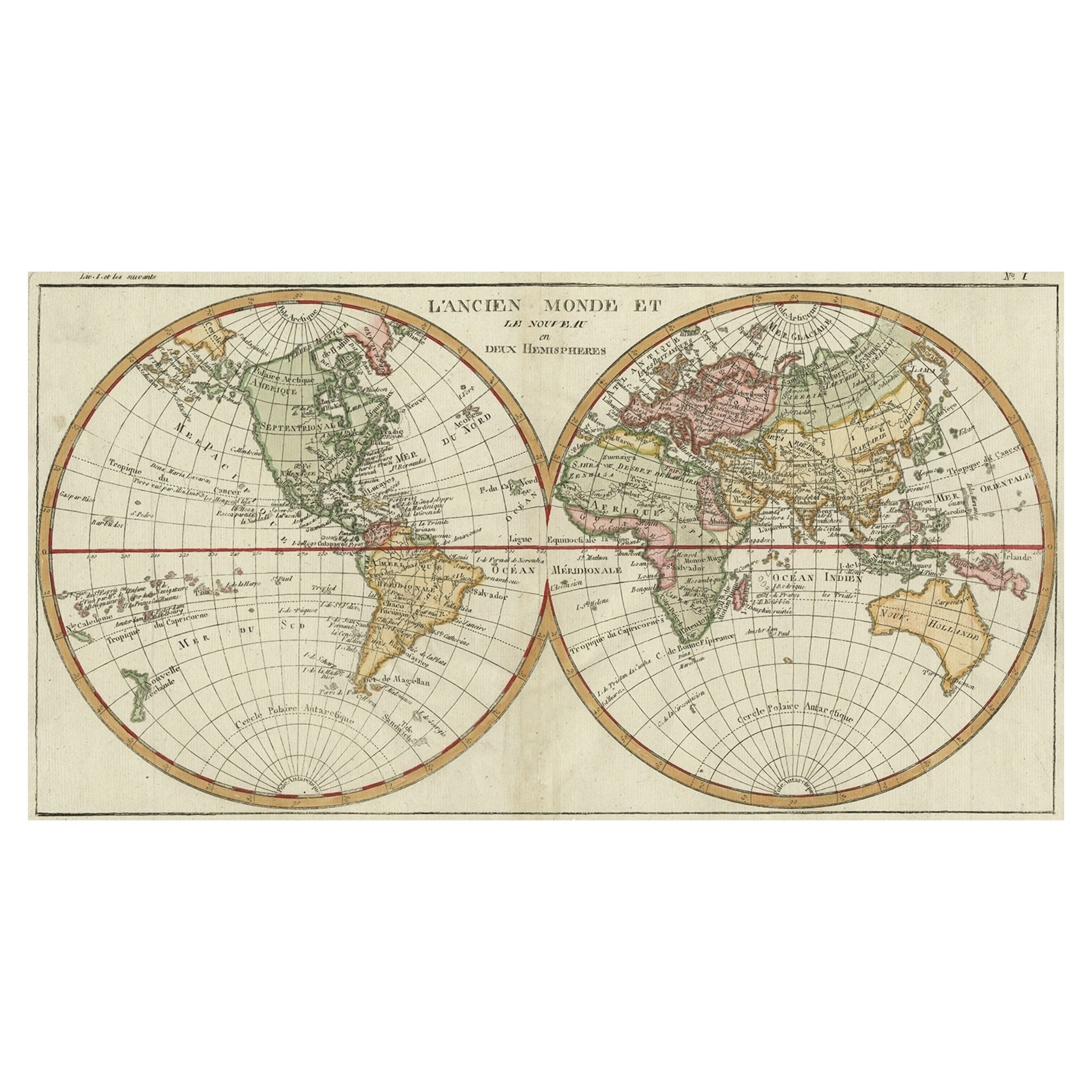
Léon Saussine Antique Atlas Puzzle, Colorful World Map, ca. 1900

Léon Saussine Antique Atlas Puzzle, Colorful World Map, ca. 1900

Located in Saint-Amans-des-Cots, FR

Complete French Atlas Puzzle by Léon Saussine, Seven Geographic Maps, Chromolithograph, France, circa 1900 A rare and complete French educational atlas puzzle edited by Léon Saussin...

Category

Antique Early 1900s French Art Nouveau Games

Materials

Paper

Box of Geographic Map Puzzles, 19th Century

Box of Geographic Map Puzzles, 19th Century

Located in NANTES, FR

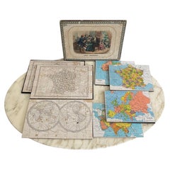
**Box of Geographic Map Puzzles, 19th Century Most of these puzzles are complete; however, some pieces are missing. We note signs of wear from use and small tears. Our photos allow...

Category

Antique 19th Century French Victorian Games

Materials

Paper

French Educational Atlas Geographique Puzzle Box with Maps, Dated 1903

French Educational Atlas Geographique Puzzle Box with Maps, Dated 1903

Located in Dallas, TX

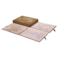
This early 20th century French educational game is presented in its original decorative box, titled Atlas Géographique. Printed in Paris by Imprimerie Dufrénoy and dated 5–03 (May 19...

Category

Early 20th Century French Belle Époque Historical Memorabilia

Materials

Paper

Antique Map of The World in Hemispheres on Various Projections, 1882

Antique Map of The World in Hemispheres on Various Projections, 1882

Located in Langweer, NL

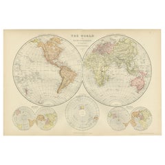
This stunning 1882 'Antique Map of The World in Hemispheres' showcases an exquisite blend of cartographic precision and artistic elegance. Crafted under the watchful eye of W.G. Blac...

Category

Antique 1880s Maps

Materials

Paper

Colored wall map of the WORLD

Colored wall map of the WORLD

By Chambon

Located in ZWIJNDRECHT, NL

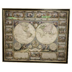
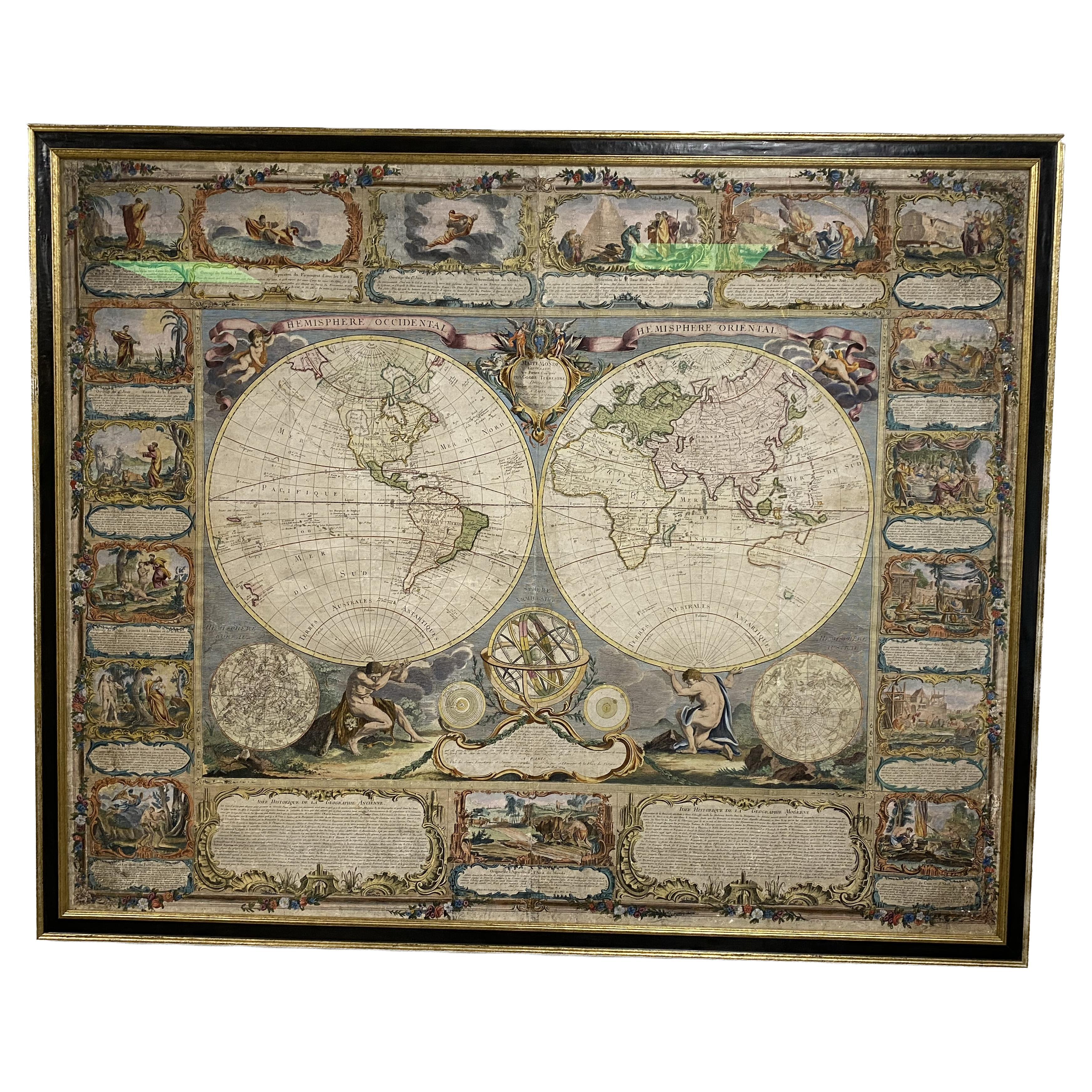
“Mappe Monde, contenant les Parties Connues du Globe Terrestre” CHAMBON, Gobert-Denis (France, 17.. - 1781) Paris, Longchamps et Janvier, 1754 Size H. 115 x W. 145 cm. Gobert-Denis Chambon made copper engraving after the work of Guillaume De L’Isle, published in 1754 by Jean Janvier and S.G. Longschamps. A huge wall map of the world in two hemispheres printed on two sheets, depicting the Eastern and Western hemispheres supported by two male figures, decorated at the bottom right and left with two celestial hemispheres (boreal and southern) and at the bottom in the middle with an armillary sphere, in addition. This map is most notable for its depiction of the Sea of Japan labeled "Mer de Corée" and of "Mer de L'Ouest" or Sea of the West - a great sea, easily the size of the Mediterranean, to flow from the then-known Strait of Juan de Fuca...

Category

Antique Mid-18th Century French French Provincial Maps
Materials

Wood, Paper

Large Original Antique Map of The World, Fullarton, C.1870

Large Original Antique Map of The World, Fullarton, C.1870

Located in St Annes, Lancashire

Great map of the World. Showing both hemispheres From the celebrated Royal Illustrated Atlas Lithograph. Original color. Published by Fullarton, Edinburgh, C.1870 Unframed. Rep...

Category

Antique 1870s Scottish Maps

Materials

Paper