Located in Colorado Springs, CO
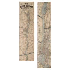
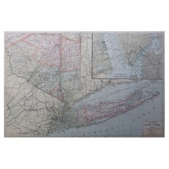
Presented is a 1917 printing of “New Hudson Map” by Wallace Bruce. The map was published by Bryant Union Publishing Co., in New York City. The map is a later edition, issued in a distinct strip-chart format that is over 100 inches long. The map includes amazing detail, compiled mostly from U.S. Coast Survey data. It is drawn on a scale of 1.5 miles per inch, allowing ample space for it to show historical landmarks, landings, islands, list prominent residents, and more. The verso is filled with related text and illustrations about the Hudson River valley. The map folds into cream paper wrappers, titled "Hudson River Map...
Category
Vintage 1910s American Beaux Arts Maps