
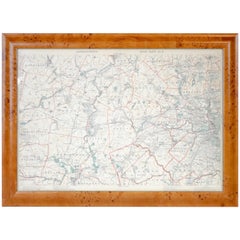
Original 1891 Walker Map
Located in Norwell, MA
Original 1891 map of Massachusetts by Walker. Towns include Cambridge, Boston, Dedham, Ashland, Brookline, Newton etc... burl wood frame. Measures...
Category
Original 1891 Walker Map
Located in Norwell, MA
Original 1891 map of Massachusetts by Walker. Towns include Cambridge, Boston, Dedham, Ashland, Brookline, Newton etc... burl wood frame. Measures...
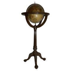
Maitland Smith Globe on Stand
Located in Norwell, MA
World globe with brass horizon band. Intricately carved pedestal base with ball and claw feet. Quite detailed. By the famous Maitland Smith, globe itself is from Replogle. 62" H x 26...
Wood
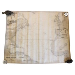
Original Imray & Son Chart of North Atlantic, 1876
Located in Norwell, MA
Nautical chart of the North Atlantic showing the Eastern United States coast, Caribbean Islands, South America (Venezuela and ), British Possessions (Canada - Gulf of Lawrence, Newfo...
Paper
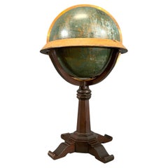
Early 20th Century American Library Globe
Located in Norwell, MA
Fine library globe with makers logo from Atlas School Supply Co., Chicago. Hardwood base with rich finish and nice detail. Celestial globe with equ...
Wood
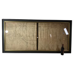
Chart of the East Coast of England
Located in Norwell, MA
Chart of the East Coast of England, from Dungeness to Flamborough, including the entrances to the Thames River. Drawn by hydrographer J.W. Norie in 1841. Includes Kent, Essex and Suf...
Paper
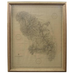
19th Century Nautical Chart of Martinique
Located in Norwell, MA
Original map of Martinique from 1887 with chartered waters around the island. Prepared from a French survey, completed in 1825, showing town, ports, rivers and tributaries. Published...
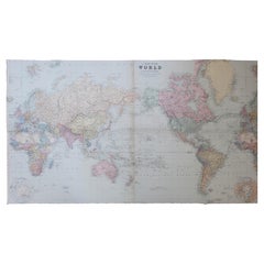
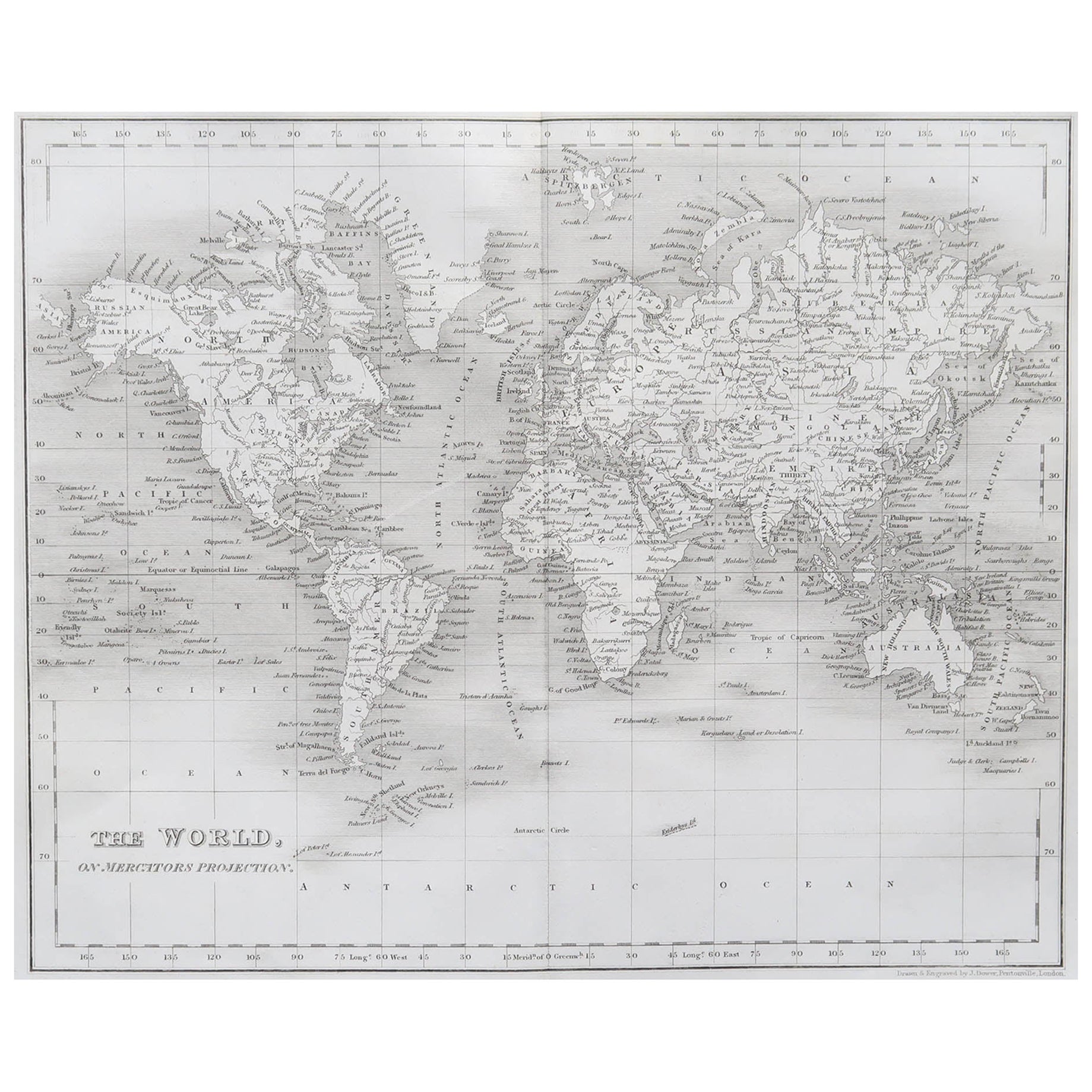
Large Original Antique Map of The World On Mercator's Projection. 1894
Located in St Annes, Lancashire
Superb Antique map of The World Published Edward Stanford, Charing Cross, London 1894 Original colour Good condition Unframed. Free shipping
Paper
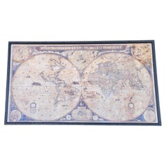
1864 Map Of The World 1648 Roberts Maps 2018 Limited Edition Print 6 of 100
Located in Los Angeles, CA
Large World map in Latin. This world map 6th out of 100 made. Bottom right shows maker. many different World landmarks. Small Descriptions on Latin, as shown in images. A great piece...
Plexiglass, Wood, Paper
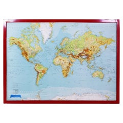
George Philip's Large Relief Map of the World 150x110cm
By George Philip & Son
Located in Linkebeek, BE
George Philip's Large Relief Map of the World 150x110cm PHILIP, George Relief Map of the World. George Philip and Son Limited, c. 1950. Large 3D relief map of the world. Shaded relie...
Plastic, Wood
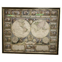
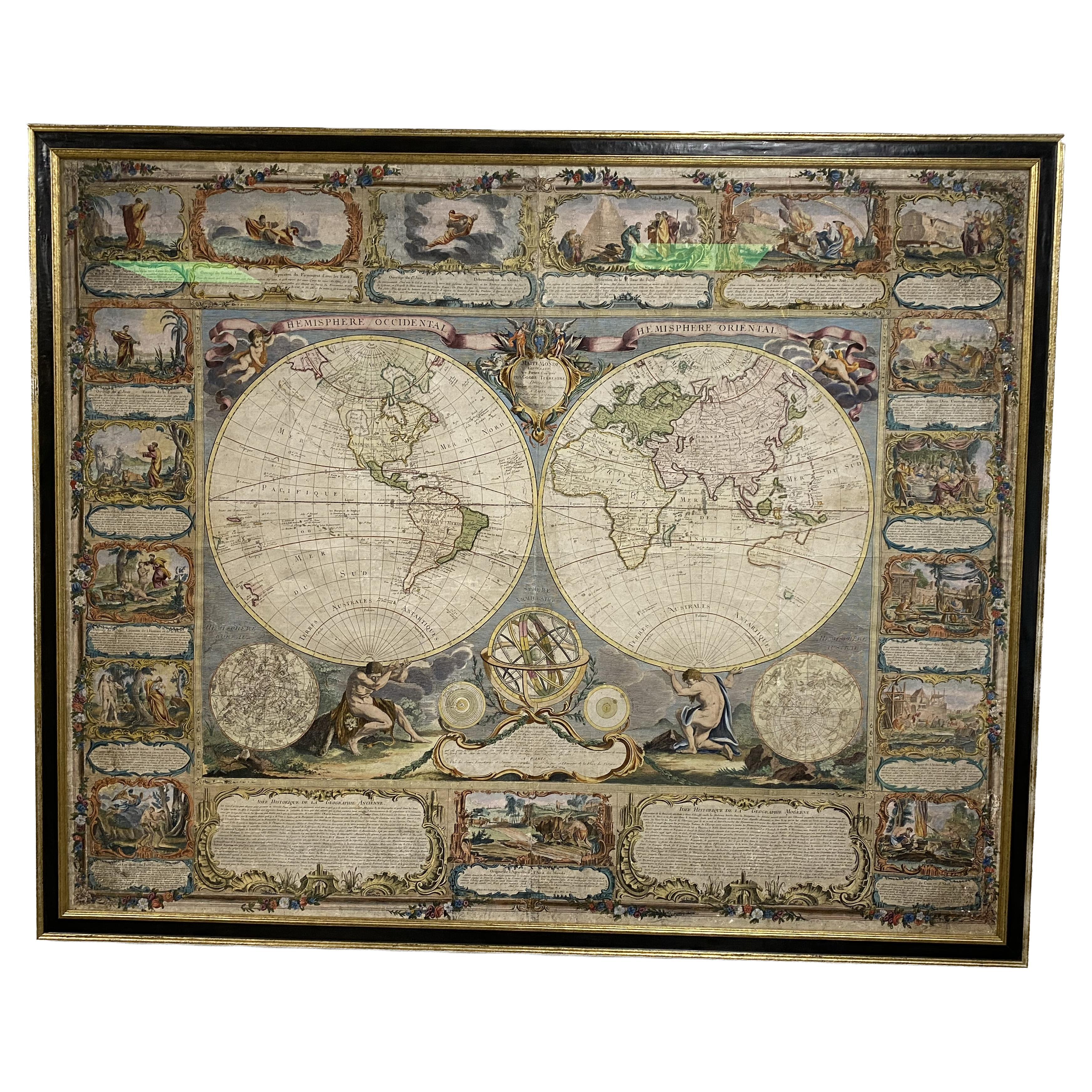
Colored wall map of the WORLD
By Chambon
Located in ZWIJNDRECHT, NL
“Mappe Monde, contenant les Parties Connues du Globe Terrestre” CHAMBON, Gobert-Denis (France, 17.. - 1781) Paris, Longchamps et Janvier, 1754 Size H. 115 x W. 145 cm. Gobert-Denis Chambon made copper engraving after the work of Guillaume De L’Isle, published in 1754 by Jean Janvier and S.G. Longschamps. A huge wall map of the world in two hemispheres printed on two sheets, depicting the Eastern and Western hemispheres supported by two male figures, decorated at the bottom right and left with two celestial hemispheres (boreal and southern) and at the bottom in the middle with an armillary sphere, in addition. This map is most notable for its depiction of the Sea of Japan labeled "Mer de Corée" and of "Mer de L'Ouest" or Sea of the West - a great sea, easily the size of the Mediterranean, to flow from the then-known Strait of Juan de Fuca...
Wood, Paper
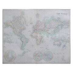
Large Original Antique Map of the World, Fullarton, circa 1870
Located in St Annes, Lancashire
Great map of the World. From the celebrated Royal Illustrated Atlas Lithograph. Original color. Published by Fullarton, Edinburgh, circa 1870. Unframed.
Paper
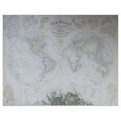
Large Original Antique Map of The World, Fullarton, C.1870
Located in St Annes, Lancashire
Great map of the World. Showing both hemispheres From the celebrated Royal Illustrated Atlas Lithograph. Original color. Published by Fullarton, Edinburgh, C.1870 Unframed. Rep...
Paper