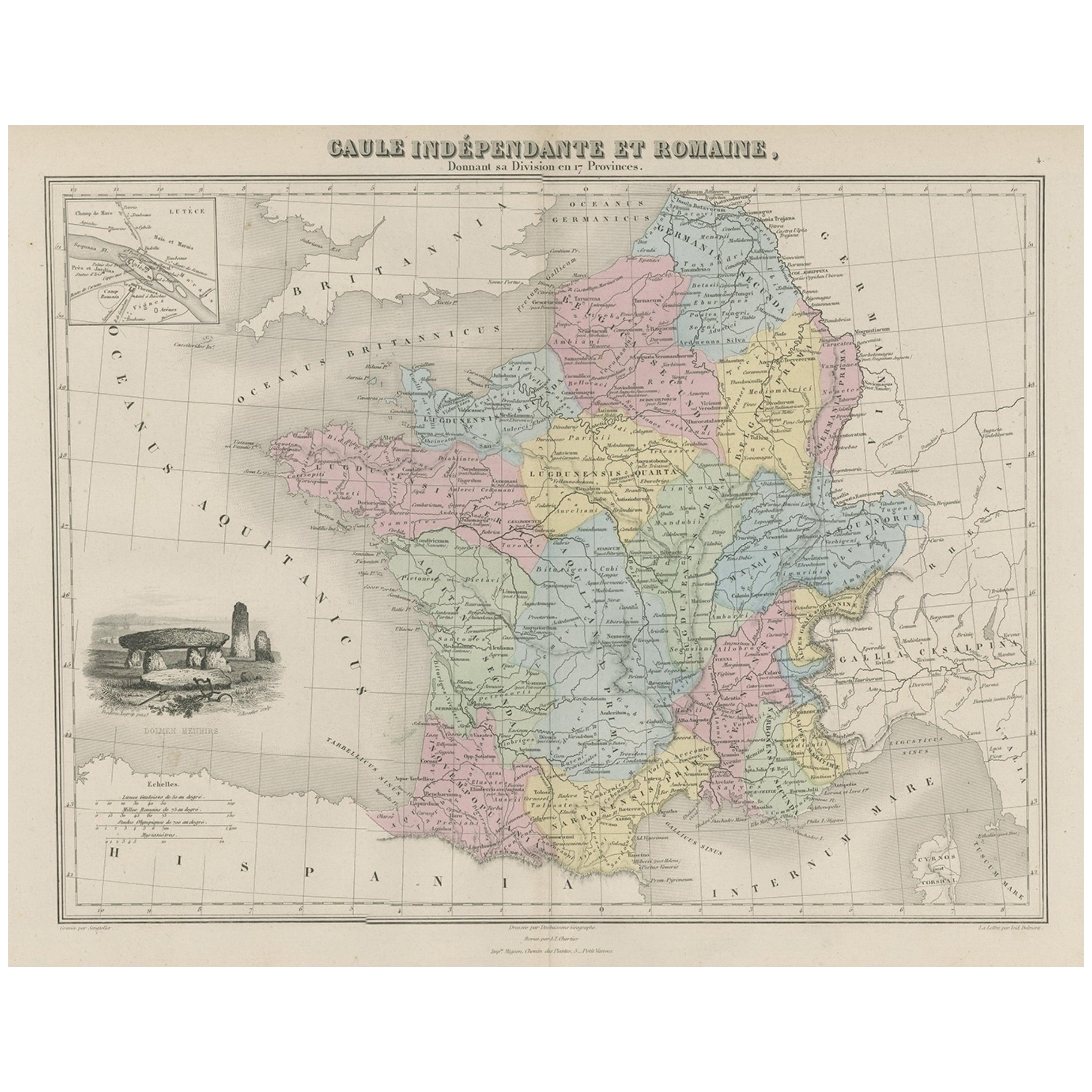
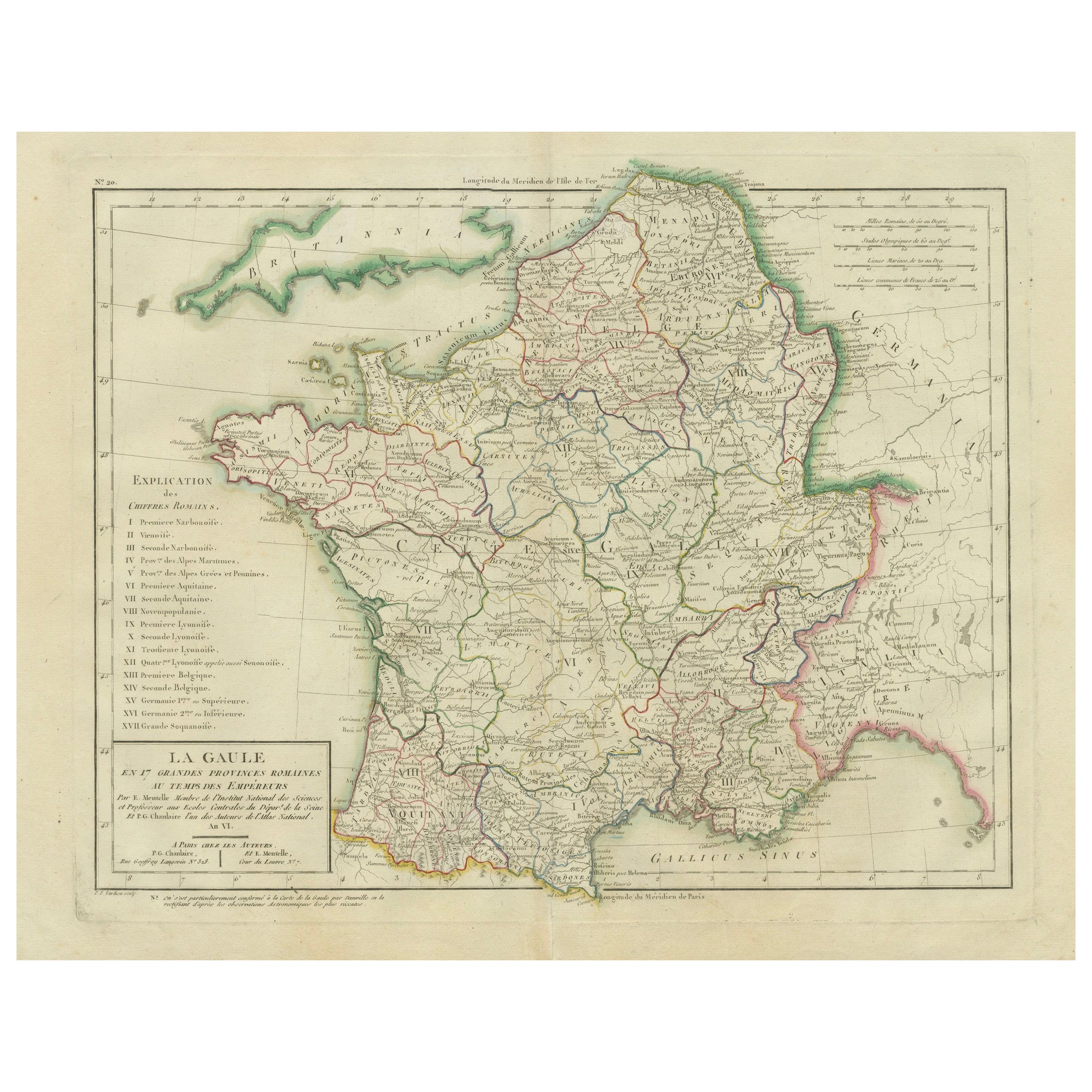
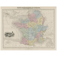
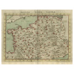
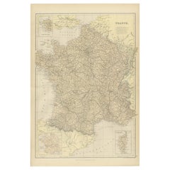
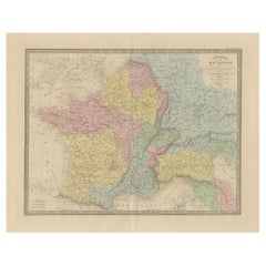
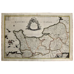
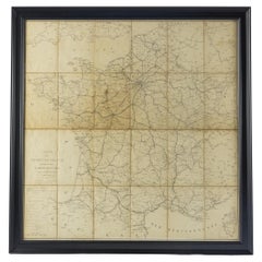
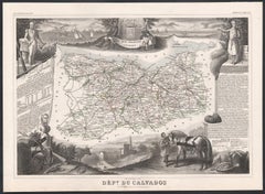
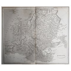
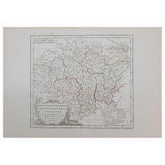
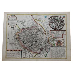
The print titled "GALLIA," is a historical map of ancient Gaul, which corresponds to modern-day France and parts of its surrounding countries. Here are the features and details noted in the print:
1. **Regional Divisions**: The map is color-coded to delineate the various tribes or administrative divisions within Gaul during ancient times. The regions are probably labeled with the names they were known by during the Roman era.
2. **Topography**: It shows detailed physical features such as mountain ranges, including the Alps (notably marked as "ALPES COTTIAE, MARITIMAE, NARBONENSIS V. VIENNENSIS"), river systems like the Rhine and Rhône, and other geographic features of the landscape.
3. **Inset Maps**: The map includes inset maps focusing on specific areas:
- The top left inset is labeled "INSULA BATAVORUM," which likely depicts the Batavian Island area near the Rhine, inhabited by the Batavi tribe.
- The bottom left inset shows a detailed map of the alpine regions, possibly providing a closer look at the topography and settlements in these areas during Roman times.
4. **Cities and Settlements**: Symbols and labels indicate the locations of important cities, towns, and possibly Roman outposts or colonies. These locations may include significant Gallic settlements and Roman cities such as Lugdunum (Lyon) and Lutetia (Paris).
5. **Road Networks**: Lines may represent the Roman road network, which facilitated military, trade, and administrative connectivity across the vast province.
6. **Latin Labels**: Names and descriptions are provided in Latin, which was the lingua franca of the Roman Empire and commonly used in academic works of the 19th century.
7. **Bordering Territories**: The map also shows the adjacent regions and territories at the time, which could include parts of the Roman provinces Germania, Belgica, and others.
8. **Legend and Scale**: A legend is present, explaining the symbols and color codes used throughout the map, along with a scale for distance measurement.
This map would be an invaluable tool for historical and educational purposes, offering a snapshot of the geographical and political landscape of ancient Gaul during the Roman era. It is a testament to the cartographic and historical knowledge of the 19th century, reflecting the scholarly efforts to understand and visualize the past.
This map is intriguing for several reasons:
1. **Historical Coverage**: It represents ancient Gaul, a region that was crucial in the history of the Roman Empire and the subsequent formation of Europe. It provides a visual representation of the Roman province before the fall of the Roman Empire.
2. **Rich Detail**: The map includes detailed depictions of geographical features, settlements, and the extensive network of Roman roads, showcasing the advanced state of Roman surveying and infrastructure.
3. **Cultural Significance**: Gaul was the site of significant historical events, including the Gallic Wars led by Julius Caesar and the later cultural and political developments that laid the groundwork for the medieval kingdoms of Europe.
4. **Roman Influence**: The map illustrates the extent of Roman influence in Gaul, including the spread of Roman towns and the Romanization of indigenous Celtic tribes.
5. **Linguistic Heritage**: The use of Latin nomenclature reflects the linguistic heritage left by the Romans, many of which influence modern French and other Romance languages.
6. **Inset Maps**: The additional detailed maps of specific areas, such as the Batavian Island and the Alpine regions, offer a closer look at these important sub-regions within Gaul.
7. **Educational Value**: For historians, scholars, and enthusiasts of ancient history, this map serves as an educational resource for understanding the complexities of ancient Gaul and its integration into the Roman Empire.
The period depicted on the map is likely to be during the Roman occupation of Gaul, which lasted from the 1st century BC, following the Gallic Wars, until the fall of the Western Roman Empire in the 5th century AD. The precise period could be more specifically identified by analyzing the names of the tribes, the designation of the Roman provinces, and the status of the road networks shown on the map.