Want more images or videos?
Request additional images or videos from the seller
1 of 10

Antique Blaeu Map of Berry, Bourges and Sancerre, France, 1642

$2,427.98
£1,797.03
€2,050VAT Included
CA$3,359.53
A$3,370.10
CHF 1,968.10
MX$41,031.99
NOK 22,599.38
SEK 23,273.85
DKK 15,629.72

About the Item

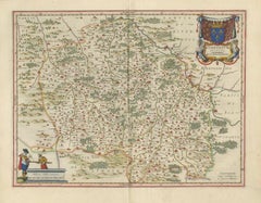
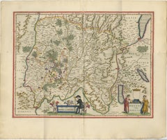
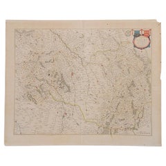
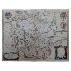
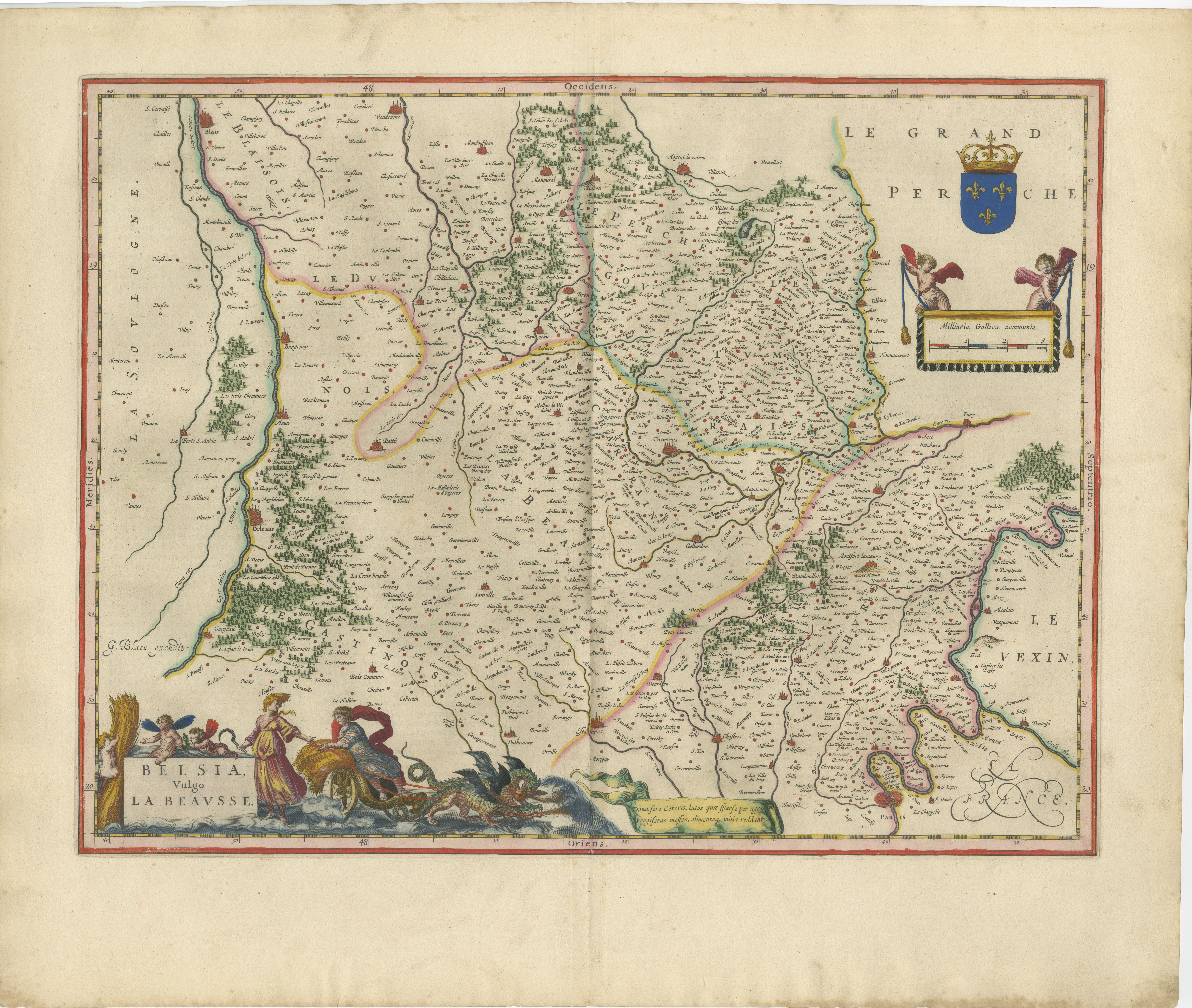
Antique Blaeu Map of Berry, Bourges and Sancerre, France, 1642 This original seventeenth-century map depicts the historic Duchy of Berry in central France. Titled “Bituricum Ducatus. Duché de Berri,” it presents the region around Bourges in remarkable detail, with numerous towns, villages, rivers, forests, roads and provincial boundaries. The map was engraved and published in Amsterdam by Willem Janszoon Blaeu and belongs to the celebrated Blaeu atlas tradition. The imprint near the upper centre reads “Amsterdami Guiljelmus Blaeu excudit.” The map was first issued during the 1630s and this example dates to circa 1642. An elaborate title cartouche in the upper-left corner is decorated with two female figures, foliage and the arms of Berry. In the lower-right corner, a second cartouche contains the scale and is flanked by two towers, with a surveying instrument placed between them. The map centres on Bourges and includes other notable places such as Sancerre, Issoudun, Châteauroux and Argenton-sur-Creuse. The neighbouring territories of Touraine, Poitou, Limousin, Bourbonnais, Nivernais and Sologne are identified around the edges. Berry is closely associated with the historical province surrounding Bourges, once an important medieval and Renaissance centre. The region is also known for its agricultural and culinary traditions. The eastern part of the map includes Sancerre, now internationally celebrated for its Sauvignon Blanc wines and its distinctive hilltop vineyards. Willem Janszoon Blaeu was one of the foremost cartographers, publishers and globe makers of the Dutch Golden Age. His maps are admired for their geographical detail, elegant engraving and richly decorative presentation. Following his death in 1638, the Blaeu publishing business continued under his sons. With its attractive hand colouring, imposing cartouche and strong associations with Bourges and Sancerre, this map would make a distinguished addition to a collection of French regional maps, wine-related cartography or Dutch Golden Age prints. It would also provide a striking focal point in a library, dining room, wine room or refined interior. Title: Bituricum Ducatus. Duché de Berri Maker and publisher: Willem Janszoon Blaeu Place of publication: Amsterdam Date: Circa 1642 Technique: Hand-coloured copperplate engraving Subject: Berry, Bourges and Sancerre, France Condition: The map shows age-related toning, a central atlas fold and minor signs of handling consistent with its age. Light staining and irregularities are visible in the margins. Please examine the photographs carefully, as they form an important part of the condition description. This is an original seventeenth-century copperplate engraving and not a modern reproduction. Any images showing the map framed are provided for visual inspiration only. The map is supplied unframed. Keywords: Willem Janszoon Blaeu, Willem Blaeu, antique map of France, Berry map, Duchy of Berry, Bourges map, Sancerre map, Châteauroux map, Issoudun map, French wine region, Sancerre wine, Sauvignon Blanc, French regional map, seventeenth-century map, 17th-century cartography, Dutch Golden Age map, Amsterdam cartography, hand-coloured map, copperplate engraving, original antique map, Blaeu atlas map, historical French map, decorative wall map, French provincial map, collector’s map
  • Dimensions:
    Height: 19.69 in (50 cm)Width: 23.23 in (59 cm)Depth: 0.01 in (0.2 mm)
  • Materials and Techniques:
    Paper,Engraved
  • Place of Origin:
  • Period:
    Mid-17th Century
  • Date of Manufacture:
    1642
  • Condition:
    The map shows age-related toning, a central atlas fold and minor signs of handling consistent with its age. Light staining and irregularities are visible in the margins. Please examine the photographs carefully.
  • Seller Location:
    Langweer, NL
  • Reference Number:
    Seller: HP-0291stDibs: LU3054351094142

More From This Seller

View All
Antique Blaeu Map of Bourbonnais, Moulins and Vichy, France, 1642

Antique Blaeu Map of Bourbonnais, Moulins and Vichy, France, 1642

Located in Langweer, NL

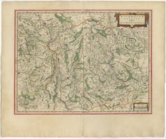
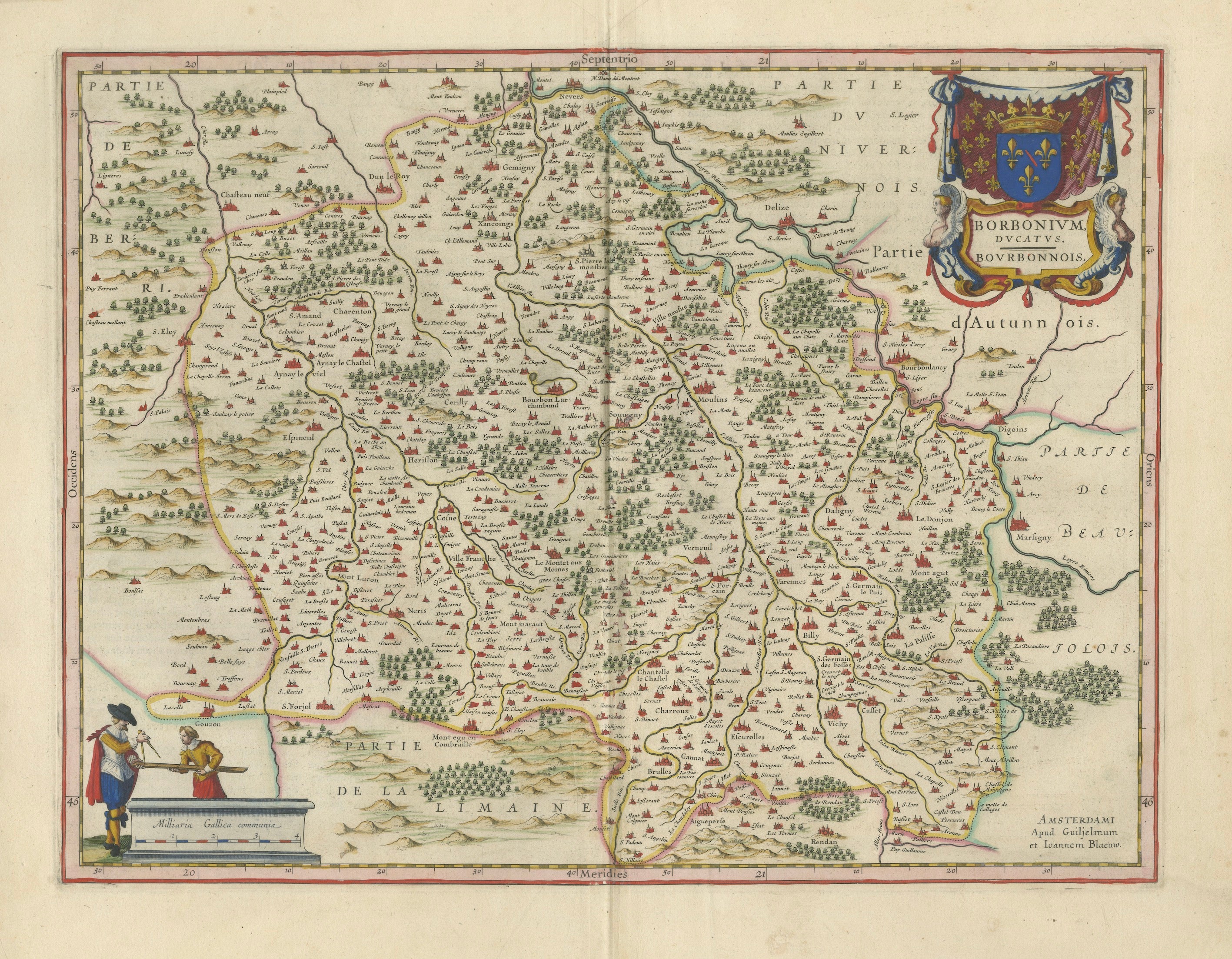
Antique Blaeu Map of Bourbonnais, Moulins and Vichy, France, 1642 This original seventeenth-century map depicts the historic French province of Bourbonnais, a region centred on Moul...

Category

Antique Mid-17th Century Dutch Maps

Materials

Paper

Antique Blaeu Map of Nevers, Nivernais and Morvan, France, 1642

Antique Blaeu Map of Nevers, Nivernais and Morvan, France, 1642

Located in Langweer, NL

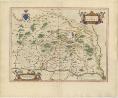
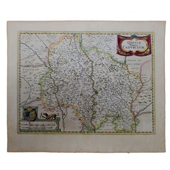
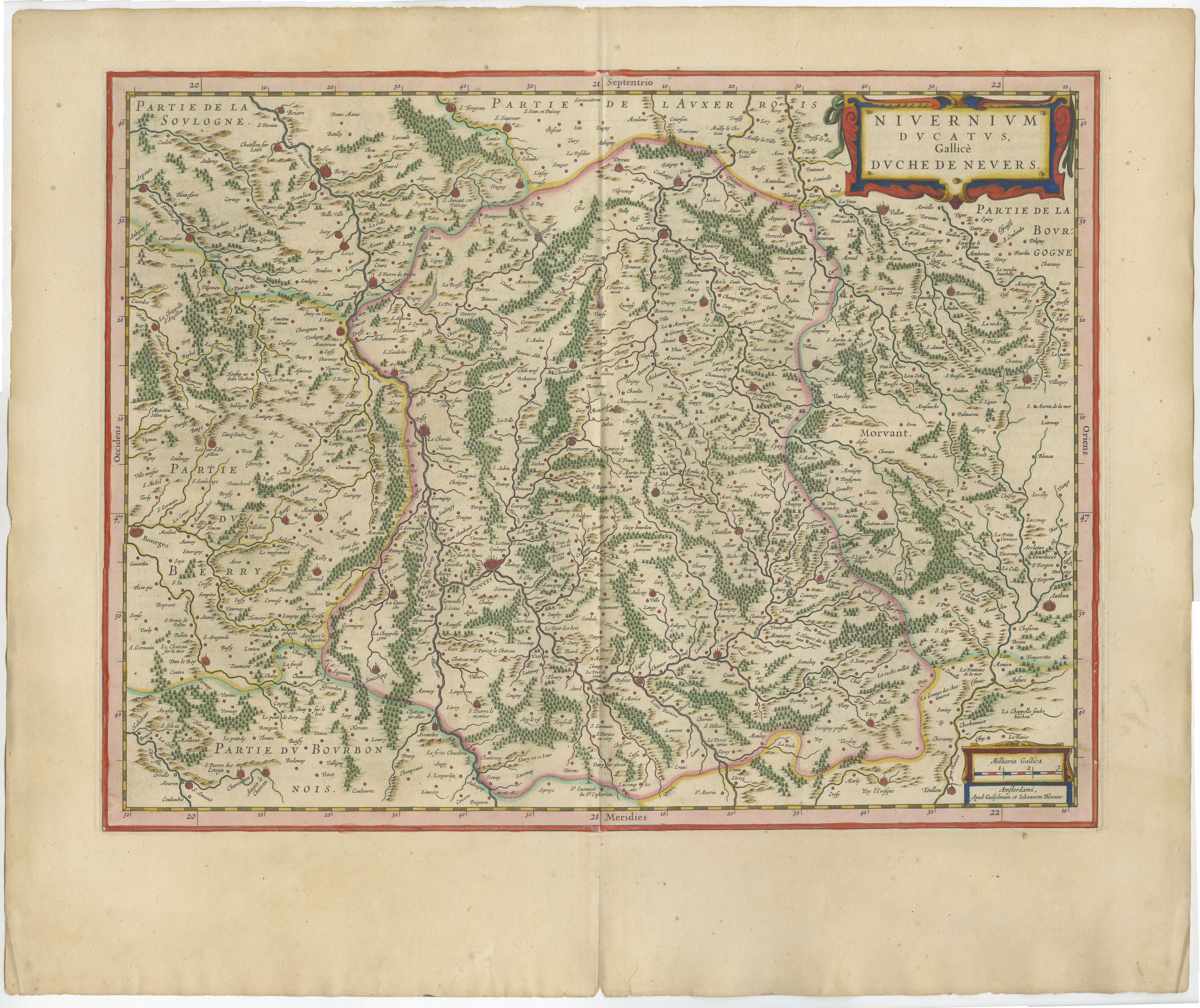
Antique Blaeu Map of Nevers, Nivernais and Morvan, France, 1642 This original seventeenth-century map depicts the historic Duchy of Nevers and the surrounding Nivernais region of central France. The map is titled “Nivernium Ducatus, Gallice Duché de Nevers” and presents the territory in exceptional detail, including Nevers, the Morvan, numerous villages, rivers, forests, roads and historic provincial boundaries. Published in Amsterdam by Willem Janszoon Blaeu and Joan Blaeu, the map belongs to the celebrated atlas publications of the Blaeu workshop. The publisher’s imprint appears in the lower-right corner. This example dates to circa 1642, during the period when the Blaeu firm was producing some of the most admired maps of the Dutch Golden Age. The composition is distinguished by an elaborate title cartouche in the upper-right corner, decorated with bold strapwork ornament. A smaller scale cartouche appears at the lower right. Finely engraved forests, waterways, settlements and relief details fill the map, while hand-coloured boundaries distinguish the historic territories. The map centres on the Duchy of Nevers, with neighbouring areas identified around its borders, including parts of Berry, Bourbonnais, Auxerrois and Burgundy. The Morvan, a historic upland region now forming part of Burgundy, is clearly marked in the eastern section. Nevers is historically known for its ducal heritage and for the production of Nevers faience, a tradition of decorated tin-glazed earthenware established during the Renaissance. The wider Nivernais and Burgundy region is also associated with rural gastronomy, Charolais cattle and long-established wine-producing areas. Willem Janszoon Blaeu was one of the leading cartographers, publishers and globe makers of the seventeenth century. Following his death in 1638, the Amsterdam firm continued under his sons, including Joan Blaeu, maintaining its reputation for geographical detail, refined engraving and decorative elegance. With its dense cartographic detail, attractive colouring and strong regional associations, this map would make a distinguished addition to a collection of French cartography, Burgundy-related works or Dutch Golden Age maps. It would also create an impressive focal point in a library, study, dining room or refined interior. Title: Nivernium Ducatus, Gallice Duché de Nevers Publishers: Willem Janszoon Blaeu and Joan Blaeu Place of publication: Amsterdam Date: Circa 1642 Technique: Hand-coloured copperplate engraving Subject: Nevers, Nivernais and the Morvan, France Condition: The map shows age-related toning, a central atlas fold and minor wear consistent with its age. Some irregularity and light staining are visible around the margins. Please examine the photographs carefully, as they form an important part of the condition description. This is an original seventeenth-century copperplate engraving and not a modern reproduction. Any images showing the map framed are provided for visual inspiration only. The map is supplied unframed. Keywords: Willem Blaeu, Joan Blaeu, Blaeu map, antique map of France, Nevers map, Nivernais map, Duchy of Nevers, Morvan map, Burgundy map...

Category

Antique Mid-17th Century Dutch Maps
Materials

Paper

Blaeu's Dombes, Lyonnais and Bresse, France – Original 1642 Map

Blaeu's Dombes, Lyonnais and Bresse, France – Original 1642 Map

Located in Langweer, NL

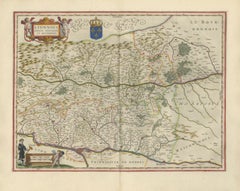
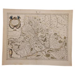
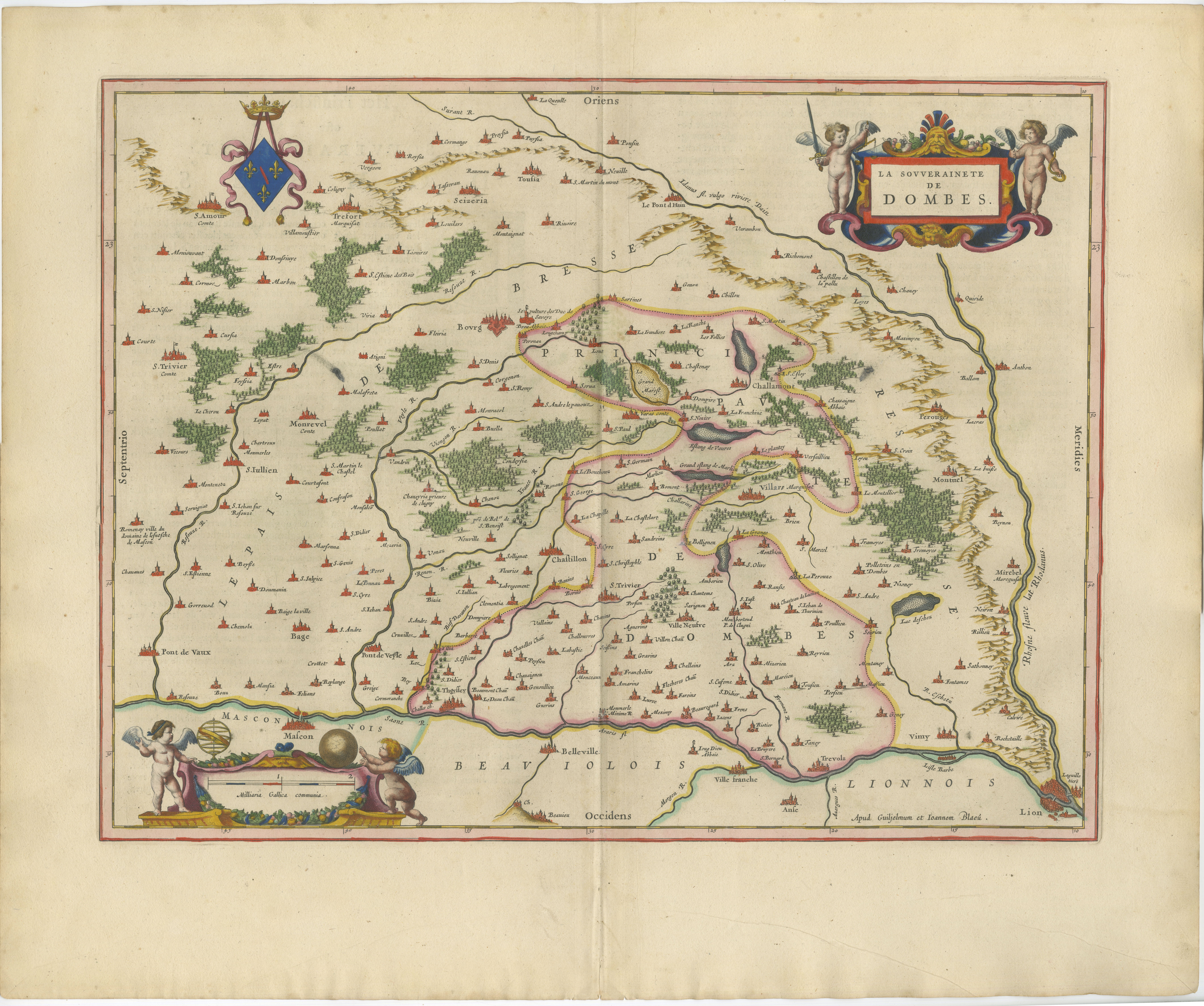
Blaeu's Dombes, Lyonnais and Bresse, France – Original 1642 Map This finely engraved and beautifully hand-colored map depicts the historic Sovereignty of Dombes (La Souveraineté de ...

Category

Antique Mid-17th Century Dutch Maps
Materials

Paper

Antique Blaeu Map of Lyonnais, Forez, Beaujolais & Mâconnais, 1642

Antique Blaeu Map of Lyonnais, Forez, Beaujolais & Mâconnais, 1642

Located in Langweer, NL

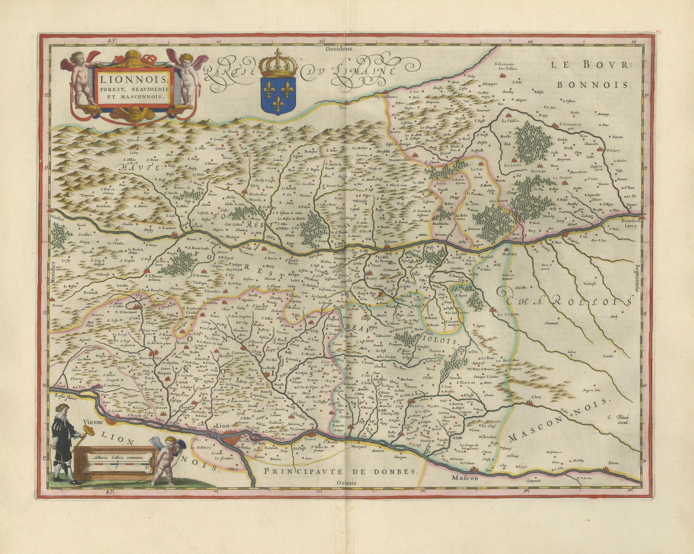
Antique Blaeu Map of Lyonnais, Forez, Beaujolais & Mâconnais, 1642 This original seventeenth-century map depicts the historic French regions of Lyonnais, Forez, Beaujolais and Mâcon...

Category

Antique Mid-17th Century Dutch Maps
Materials

Paper

Antique Blaeu Map of Bresse & Dombes, Eastern France – Hand-Colored, c.1642

Antique Blaeu Map of Bresse & Dombes, Eastern France – Hand-Colored, c.1642

Located in Langweer, NL

Antique Blaeu Map of Bresse & Dombes, Eastern France – Hand-Colored c.1642 This attractive and finely engraved map depicts the historic province of Bresse (Bressia Vulgo Bresse) and...

Category

Antique Mid-17th Century Dutch Maps
Materials

Paper

Antique Blaeu Double Map of Perche, Blois, Orléans and Tours, 1642

Antique Blaeu Double Map of Perche, Blois, Orléans and Tours, 1642

Located in Langweer, NL

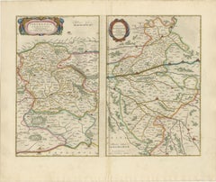
Antique Blaeu Double Map of Perche, Blois, Orléans and Tours, 1642 This original seventeenth-century sheet contains two separately titled maps of historic regions in northern and ce...

Category

Antique Mid-17th Century Dutch Maps
Materials

Paper

You May Also Like

1640 Joan Bleau Map Entitled"Diocecese de rheims et le pais de rethel, " Eic.a011

1640 Joan Bleau Map Entitled"Diocecese de rheims et le pais de rethel, " Eic.a011

Located in Norton, MA

1640 Joan Bleau map entitled "Diocecese de rheims et le pais de rethel," Ric.a011 OAN BLAEU Diocecese de Rheims, et le pais de Rethel. Handcolored engraving, c.1640. ...

Category

Antique 17th Century Dutch Maps

Materials

Paper

17th Century Hand-Colored Map of a Region in West Germany by Janssonius

17th Century Hand-Colored Map of a Region in West Germany by Janssonius

By Johannes Janssonius

Located in Alamo, CA

This attractive highly detailed 17th century original hand-colored map is entitled "Archiepiscopatus Maghdeburgensis et Anhaltinus Ducatus cum terris adjacentibus". It was published ...

Category

Antique Mid-17th Century Dutch Maps
Materials

Paper

1656 Jansson Map Metz Region of France Entitled "Territorium Metense" Ric0014

1656 Jansson Map Metz Region of France Entitled "Territorium Metense" Ric0014

Located in Norton, MA

1656 Jansson map Metz Region of France entitled "Territorium Metense." Ric0014 " Authentic" - Map of the historical region surrounding Metz, in Lorraine, France. Oriented with ...

Category

Antique 17th Century Dutch Maps
Materials

Paper