Want more images or videos?
Request additional images or videos from the seller
1 of 9

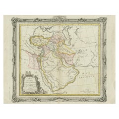
Antique Map of the Biblical Lands, Arabia and Canaan, Malte-Brun c.1820

$354.20
£262.04
€299VAT Included
CA$490.24
A$492.02
CHF 286.91
MX$5,981.51
NOK 3,296.89
SEK 3,390.69
DKK 2,279.69

About the Item

Antique Map of Sinai and Gulf of Suez by Niebuhr, Arabia, c.1774 A rare and highly important 18th-century engraved map titled “Tabula Itineraria a Sues usque ad Dsjaebbel el Mokatteb et Montem Sinai”, created by the renowned German cartographer and explorer Carsten Niebuhr and published circa 1774 in Amsterdam. This map forms part of Niebuhr’s groundbreaking documentation of the Middle East, produced following the famous Danish scientific expedition to Arabia (1761–1767), one of the most significant exploratory journeys of the Enlightenment era. The map depicts the Gulf of Suez and the Sinai Peninsula in remarkable detail, extending southward toward Mount Sinai. It captures the rugged mountainous terrain of the region with finely engraved topographical shading, illustrating the dramatic landscape that has held both strategic and religious importance for centuries. The waterways are labeled as “Bahr el Kolsum” and “Bahr es Sues,” reflecting historical naming conventions of the Red Sea and Gulf of Suez. A standout feature is the richly decorative cartouche in the upper left, framing the title within an ornate rococo design, often enhanced with original hand coloring. This decorative element contrasts beautifully with the otherwise scientific and precise rendering of the terrain, making the map both visually striking and academically important. Unusually, the map is oriented with north to the left, a characteristic found in several of Niebuhr’s works, reflecting the practical surveying methods used during the expedition. Numerous routes, settlements, and geographic markers are included, offering insight into early European understanding of the Sinai region. Carsten Niebuhr (1733–1815) was the sole surviving member of the Danish Arabia expedition and became one of the most respected cartographers of his time. His maps are celebrated for their accuracy, based on direct observation and measurement, rather than second-hand reports, marking a major advancement in the cartographic study of the Middle East. This piece is particularly desirable for collectors of early Middle Eastern cartography, exploration history, and Enlightenment-era scientific works. It also serves as a refined decorative object, combining elegance with intellectual depth. This is an original 18th-century engraving, not a reproduction. All items we offer are authentic period works of art over 100 years old. This map is sold unframed; any framed images are shown for presentation and interior inspiration only. Condition: Good condition with age-related toning and scattered spotting in the margins. Central fold as issued. Light creasing and minor handling wear consistent with age. Plate mark visible and impression remains strong. Framing tips: Ideally presented in a dark walnut or ebonized frame with a wide ivory mat to highlight the delicate engraving and decorative cartouche. The horizontal format makes it especially suitable for display above a desk, console, or sofa in a study or refined interior. Technique: Copper engraving with original hand color Maker: Carsten Niebuhr, published Amsterdam, circa 1774
  • Dimensions:
    Height: 14.97 in (38 cm)Width: 11.03 in (28 cm)Depth: 0.01 in (0.2 mm)
  • Materials and Techniques:
    Paper,Engraved
  • Place of Origin:
  • Period:
  • Date of Manufacture:
    circa 1820
  • Condition:
    Good condition with age-related toning and scattered spotting in the margins. Central fold as issued. Light creasing and minor handling wear consistent with age. Plate mark visible and impression remains strong.
  • Seller Location:
    Langweer, NL
  • Reference Number:
    Seller: BG-14279-561stDibs: LU3054349450762

More From This Seller

View All

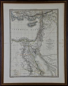
Antique Map of Syria, Egypt and the Nile Delta – Lapie, 1838

Antique Map of Syria, Egypt and the Nile Delta – Lapie, 1838

Located in Langweer, NL

Antique Map Syria Egypt Nile Delta, Lapie 1838 – Hand Colored Engraving This finely detailed antique map of Syria and Egypt was published in Paris in 1838 as part of the celebrated ...

Category

Antique Early 19th Century French Maps

Materials

Paper

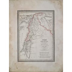
Ancient Syria & Assyria Map — Biblical Near East, Wilkinson London 1815

Ancient Syria & Assyria Map — Biblical Near East, Wilkinson London 1815

Located in Langweer, NL

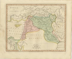
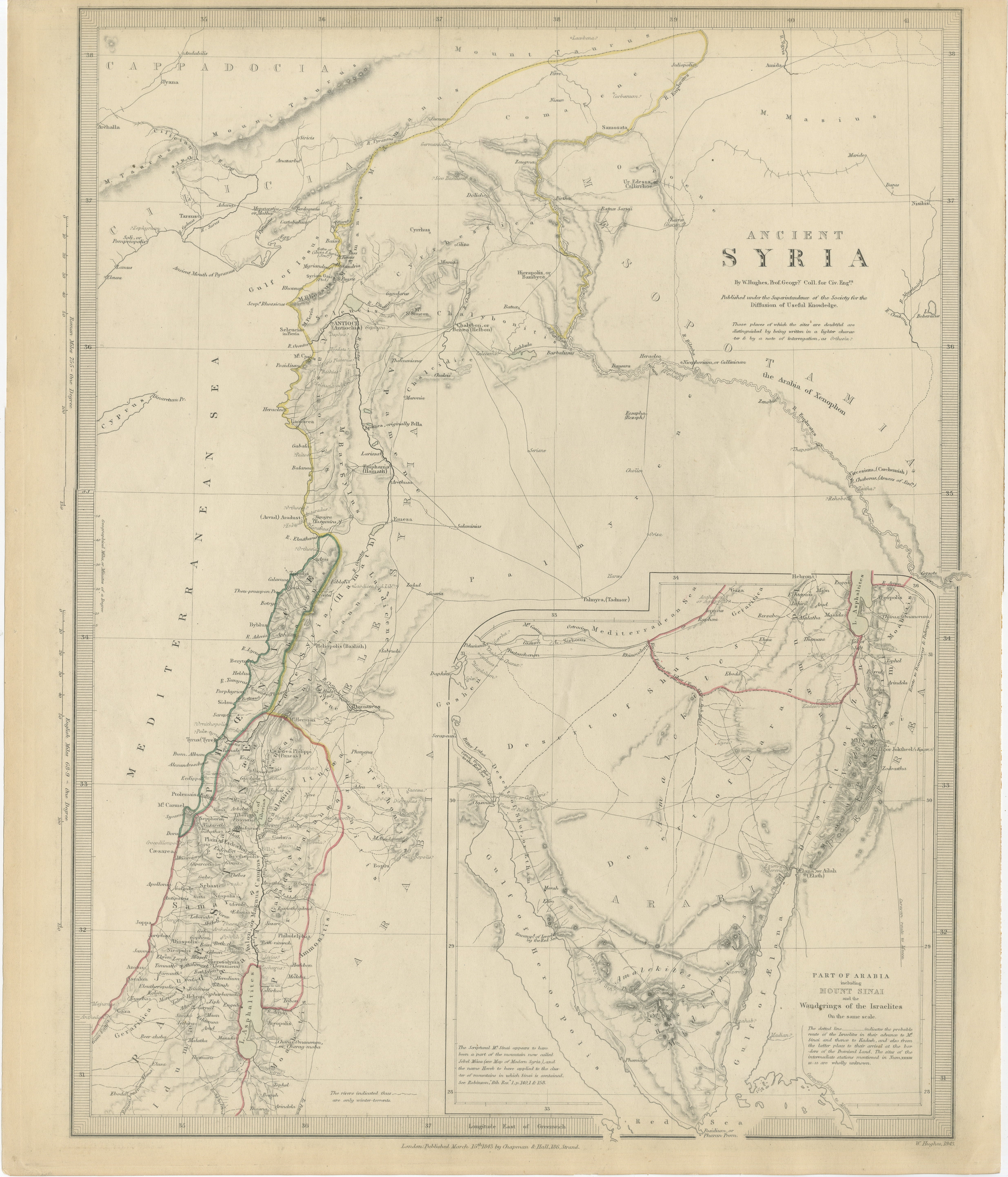
Ancient Syria & Assyria Map — Biblical Near East, Wilkinson London 1815 This finely engraved and original hand-colored antique map titled Syria et Assyria presents a detailed reconstruction of the ancient Near East, published in London in 1815 by the noted cartographer and publisher Robert Wilkinson. Created during the early nineteenth century’s renewed scholarly interest in classical and biblical geography, the map illustrates the historical landscapes of Syria, Mesopotamia, and surrounding regions as described by Greek, Roman, and early historical sources. The map extends from the eastern Mediterranean coastline across the Levant and deep into Mesopotamia, encompassing territories that today include Syria, Lebanon, Israel, Iraq, and parts of Turkey and Iran. Regions such as Syria, Assyria, Babylonia, Chaldea, Mesopotamia, and Media are clearly defined through delicate original hand coloring, allowing viewers to distinguish ancient political and cultural divisions at a glance. Important historical cities appear throughout the composition, including Damascus, Palmyra, Babylon, Nineveh, Antioch, and Jerusalem, alongside rivers fundamental to early civilization such as the Euphrates and Tigris. Cyprus is shown prominently offshore, reinforcing the map’s eastern Mediterranean context and trade connections of antiquity. Desert regions labeled *Arabia Deserta* evoke the classical geographic understanding of the Near Eastern frontier. Wilkinson’s historical atlas sought not to depict contemporary borders but to visualize the ancient world itself — an intellectual endeavor shaped by Enlightenment scholarship, archaeology, and growing European fascination with biblical history. The elegant engraving style, restrained pastel palette, and balanced typography give the map both academic authority and refined decorative appeal. Today, maps from Wilkinson’s classical atlas are highly appreciated for their clarity, historical atmosphere, and suitability for interior display, particularly in studies, libraries, or spaces inspired by classical or Middle Eastern history. Condition: Good antique condition overall. Light age-related toning with scattered spotting and minor handling wear mainly to the margins. Plate mark visible. Framing tips: Particularly striking in a dark walnut or warm gilt frame with an ivory mount. A generous mat enhances the subtle hand coloring and emphasizes the map’s panoramic horizontal composition. Technique: Copperplate engraving with original hand color Maker: Robert Wilkinson, London, 1815 Keywords: Syria et Assyria map, ancient Syria map, Assyria antique map, Mesopotamia map, Babylonia, Chaldea, Media, Nineveh, Babylon, Damascus, Palmyra, Antioch, Jerusalem, Judea, Cyprus antique map...

Category

Antique Early 19th Century British Maps
Materials

Paper

Antique Map of the Ancient Middle East & India – Wilkinson Orientis Tabula, 1807

Antique Map of the Ancient Middle East & India – Wilkinson Orientis Tabula, 1807

Located in Langweer, NL

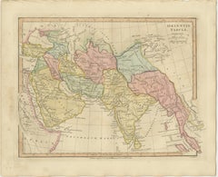
Antique Map of the Ancient Middle East & India – Wilkinson Orientis Tabula 1807 Description: This finely engraved and beautifully hand-colored antique map titled “Orientis Tabula” p...

Category

Antique Early 19th Century British Maps
Materials

Paper

Antique Map of Arabia, Red Sea & Persian Gulf by Rigobert Bonne, 1780

Antique Map of Arabia, Red Sea & Persian Gulf by Rigobert Bonne, 1780

Located in Langweer, NL

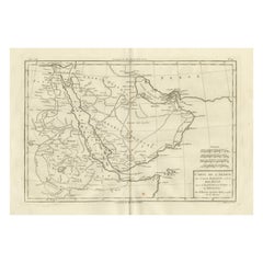
Arabia, Red Sea & Persian Gulf – Antique Map, Bonne c1780 Description: This striking map covers the Arabian Peninsula, the Red Sea, Persian Gulf, Egypt, and parts of East Africa. Ri...

Category

Antique Late 18th Century French Maps

Materials

Paper

The Dominions of Solomon — Biblical Map of the Ancient Near East and Egypt, 1827

The Dominions of Solomon — Biblical Map of the Ancient Near East and Egypt, 1827

Located in Langweer, NL

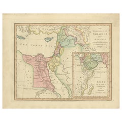
The Dominions of Solomon — Biblical Map of the Ancient Near East and Egypt, London 1827 This finely engraved and delicately hand-colored biblical map titled “The Dominions of Solomo...

Category

Antique Early 19th Century British Maps
Materials

Paper

You May Also Like

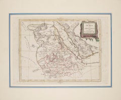
Map of Nubia and Abissinia - Etching by Antonio Zatta - 1784

Map of Nubia and Abissinia - Etching by Antonio Zatta - 1784

By Antonio Zatta 1

Located in Roma, IT

This Map of Nubia and Abissinia is an etching realized by Antonio Zatta in Venice in 1784. The state of preservation of the artwork is good expect for the worn paper with some littl...

Category

1770s Landscape Prints

Materials

Etching

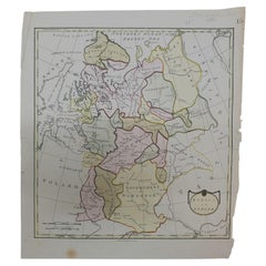
1790 Thomas Stackhouse Map, Entitled "Russia in Europe, " , Ric.a004

1790 Thomas Stackhouse Map, Entitled "Russia in Europe, " , Ric.a004

Located in Norton, MA

1790 Thomas Stackhouse map, entitled "Russia in Europe" Ric.a004 Stackhouse, Thomas Russia in Europe [map] London: T. Stackhouse, 1783. Map. Matted hand-colored copper engraving. Image size: 14.5 x 15.25 inches. Mat size: 22.75 x 23.75 inches. A beautiful example of this map of Eastern Europe...

Category

Antique 17th Century Unknown Maps

Materials

Paper

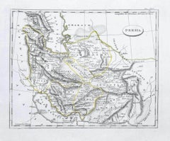
Map of Persia - Original Etching - Late 19th Century

Map of Persia - Original Etching - Late 19th Century

Located in Roma, IT

This Map of Persia is an etching realized by an anonymous artist. The state of preservation of the artwork is good with some small diffused stains. Sheet dimension: 25.5 x 44 At t...

Category

Late 19th Century Modern Figurative Prints

Materials

Etching