Want more images or videos?
Request additional images or videos from the seller
1 of 7

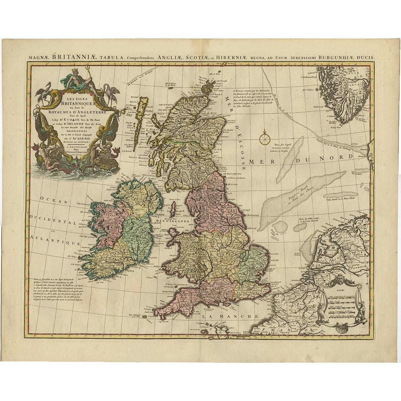
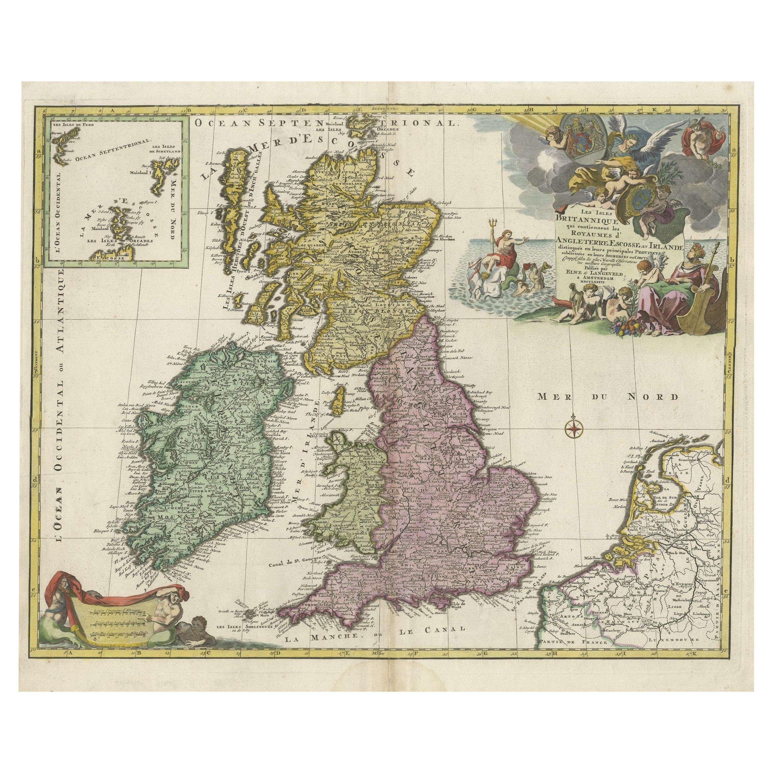
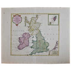
Antique Map of the British Isles by Covens & Mortier, 1730

$615.08
$768.8620% Off
£455.80
£569.7520% Off
€520VAT Included
€65020% Off
CA$850.67
CA$1,063.3420% Off
A$857.91
A$1,072.3820% Off
CHF 499.44
CHF 624.3020% Off
MX$10,441.16
MX$13,051.4620% Off
NOK 5,723.90
NOK 7,154.8720% Off
SEK 5,914.79
SEK 7,393.4920% Off
DKK 3,964.86
DKK 4,956.0720% Off

About the Item

Covens and Mortier's attractive double-page engraved map of the British Isles, based on the 1702 De L'Isle map. The map features a large cartouche in the upper left comprised of numerous sea-related elements and topped by Poseidon.
  • Creator:
  • Dimensions:
    Height: 20.87 in (53 cm)Width: 25.79 in (65.5 cm)Depth: 0.02 in (0.5 mm)
  • Materials and Techniques:
  • Period:
  • Date of Manufacture:
    1730
  • Condition:
    Please study image carefully.
  • Seller Location:
    Langweer, NL
  • Reference Number:
    Seller: BGI-000971stDibs: LU305439105071

More From This Seller

View All
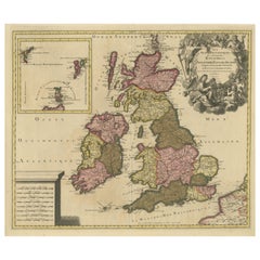
Antique Map of the British Isles by H. Chatelain, 1719

Antique Map of the British Isles by H. Chatelain, 1719

By Henri-Abraham Chatelain

Located in Langweer, NL

Beautiful hand colored large format map of the British Isles, with large insets of the Eastern and Western Hemispheres and the coats of arms for Engl...

Category

Antique Early 18th Century Maps

Materials

Paper
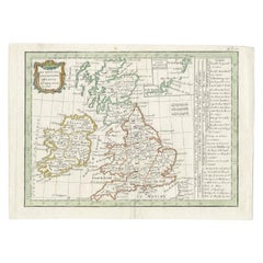
Antique Map of England and Ireland by Lattre, 1789

Antique Map of England and Ireland by Lattre, 1789

Located in Langweer, NL

Antique map titled 'Les Royaumes d'Angleterre d'Ecosse et d'Irlande'. Original antique map of England and Ireland. Originates from 'Petit Atlas ...

Category

Antique 18th Century Maps

Materials

Paper
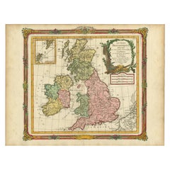
Rare Hand-colored Map of the British Isles by Gerard Valk, Published circa 1700

Rare Hand-colored Map of the British Isles by Gerard Valk, Published circa 1700

Located in Langweer, NL

Map of the British Isles by Gerard Valk circa 1700 – Hand-Colored Engraving This elegant copperplate engraving titled *Les Isles Britanniques, qui contiennent les Royaumes d'Anglete...

Category

Antique Early 1700s Dutch Maps

Materials

Paper

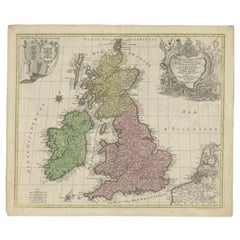
Antique Map of the British Isles by Lotter, 1764

Antique Map of the British Isles by Lotter, 1764

Located in Langweer, NL

Antique map titled 'Le Grand Bretagne ou les Royaumes d'Angleterre et d'Ecosse'. Old engraved map of the British Isles (main islands United Kingdom & Ire...

Category

Antique 18th Century Maps

Materials

Paper
You May Also Like

England and the British Isles: A Large 17th Century Hand-colored Map by de Wit

England and the British Isles: A Large 17th Century Hand-colored Map by de Wit

By Frederick de Wit

Located in Alamo, CA

This is a large hand-colored 17th century map of England and the British Isles by Frederick de Wit entitled "Accuratissima Angliæ Regni et Walliæ Principatus", published in Amsterdam in 1680. It is a highly detailed map of England, Scotland, the Scottish Isles...

Category

Late 17th Century Other Art Style Landscape Prints

Materials

Engraving

Original Antique Map of Scotland by Dower, circa 1835

Original Antique Map of Scotland by Dower, circa 1835

Located in St Annes, Lancashire

Nice map of Scotland Drawn and engraved by J.Dower Published by Orr & Smith. C.1835 Unframed. Free shipping

Category

Antique 1830s English Maps

Materials

Paper

Map Southern Scotland Thomas Conder Alex Hogg 1795

Map Southern Scotland Thomas Conder Alex Hogg 1795

Located in BUNGAY, SUFFOLK

A new map of the southern part of Scotland containing the counties of Stirling, Lanerk, Renfrew, Linlithgow, Edinburgh, Peebles, Haddingtoun, Berwick, Selkirk, Roxburgh, Dumfries, Wigtoun, Kirkudbright & Air Published by Alex Hogg at the Kings Arms...

Category

Antique 18th Century English Georgian Maps

Materials

Paper

17th Century Hand-Colored Map of Southeastern England by Mercator and Hondius

17th Century Hand-Colored Map of Southeastern England by Mercator and Hondius

By Gerard Mercator

Located in Alamo, CA

A 17th century copperplate hand-colored map entitled "The Sixt Table of England" by Gerard Mercator and Jodocus Hondius, published in Amsterdam in 1635 in 'Cosmographicall Descriptio...

Category

Antique Mid-17th Century Dutch Maps

Materials

Paper