Want more images or videos?
Request additional images or videos from the seller
1 of 12

Antique Map of Central Italy & Early Roman Empire – Wilkinson c.1800

$472.57
£349.76
€399VAT Included
CA$653.88
A$655.94
CHF 383.06
MX$7,986.23
NOK 4,398.61
SEK 4,529.89
DKK 3,042.08

About the Item

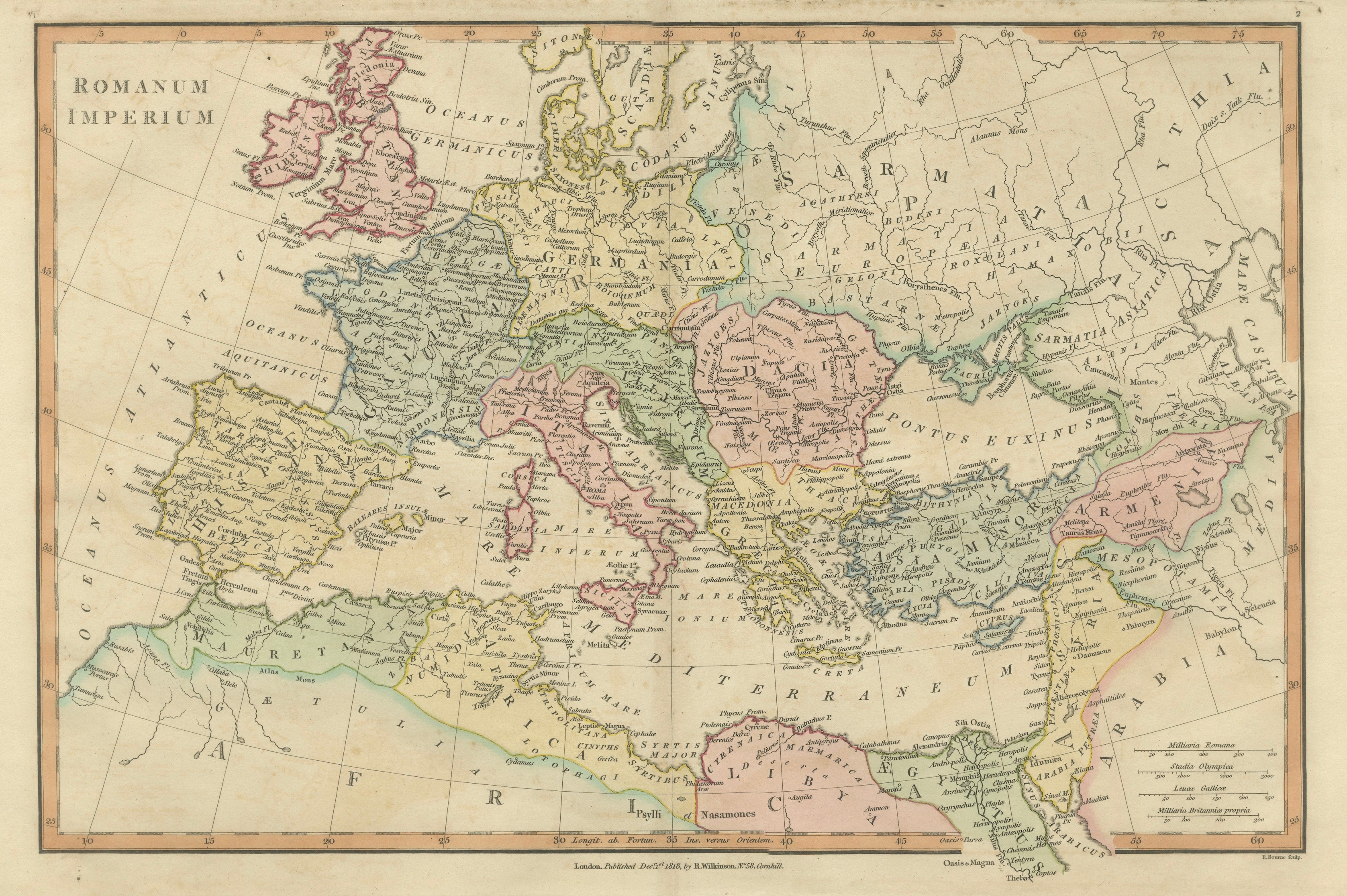

Antique Map of Central Italy & Early Roman Empire – Wilkinson c.1800 This finely engraved and beautifully hand-colored antique map titled Romani Imperii Primordia et Recentiora presents the historical heartland of the early Roman world in central Italy. Published in London by the respected cartographer and map publisher Robert Wilkinson around the early nineteenth century, the map formed part of his scholarly Atlas Classica, an influential atlas created to illustrate the geography described by classical authors. The title translates to “Origins and Later Times of the Roman Empire,” reflecting the map’s purpose as a visual guide to the formative territories and regional divisions that shaped the rise of Rome. During the late eighteenth and early nineteenth centuries, European scholars and educators were deeply engaged with classical history, and Wilkinson’s atlas was designed as an educational tool to accompany the study of ancient Roman civilization. The map focuses on the Italian peninsula surrounding Rome, extending from Etruria in the northwest across Latium and Sabina to Picenum along the Adriatic coast. Numerous ancient regions are carefully delineated and highlighted with contemporary hand coloring, including Etruria, Umbria, Sabini, Latium, Campania, Samnium, Picenum, Vestini, Marrucini, Peligni, and Frentani. These divisions reflect the complex political and tribal landscape of central Italy before and during Rome’s rise to dominance. Rome itself appears prominently near the center of the map, surrounded by an intricate network of ancient towns and settlements. Classical place names such as Veii, Tibur (Tivoli), Praeneste, Arpinum, Beneventum, and Capua appear throughout the composition. Roman roads and geographic features are carefully engraved, providing a vivid sense of how the region was understood through the lens of classical sources. Two great seas frame the peninsula: to the west lies Mare Tuscum sive Tyrrhenum (the Tuscan or Tyrrhenian Sea), while to the east appears the Adriaticum Mare (Adriatic Sea). Mountain ranges, rivers, and coastal details are delicately engraved, creating a balanced and scholarly representation of ancient Italian geography. The map was engraved by J. Roper, whose crisp line work and precise lettering give the sheet a refined character typical of early nineteenth-century British cartography. Subtle original hand coloring distinguishes the ancient regions and enhances the decorative appeal of the map while maintaining its scholarly clarity. Today the map appeals to collectors of antique maps, historians of the Roman world, and designers seeking historically rich decorative works. It provides a compelling visual reconstruction of the territories surrounding Rome during the formative centuries of Roman expansion. This example is an original antique map printed in the early nineteenth century with original hand coloring applied at the time of publication. It is not a modern reproduction. Any presentation images showing the map framed are for visual inspiration only. The map is supplied unframed. Condition: Good antique condition with attractive original hand coloring. Light age toning and minor handling marks consistent with age. The sheet retains generous margins suitable for framing. Framing tips: This map displays beautifully in a dark walnut, ebonized, or gilded frame with a wide ivory or museum-white mat. A subtle gold inner fillet complements the warm tones of the antique paper and highlights the delicate hand coloring, creating an elegant presentation suitable for a study, library, or classical interior. Keyword block: Romani Imperii Primordia et Recentiora, Roman Empire map, ancient Rome map, central Italy map, Latium map, Etruria map, Picenum map, Campania map, Samnium map, Sabina map, Umbria map, Vestini, Marrucini, Peligni, Frentani, Tyrrhenian Sea map, Adriatic Sea map, Mare Tuscum, Mare Tyrrhenum, Adriaticum Mare, Rome antique map, Atlas Classica map, Robert Wilkinson map, London classical map, J Roper engraver, Roman roads map, Roman cities map, Veii, Tibur, Praeneste, Beneventum, Capua, ancient Italian geography, classical antiquity cartography, antique Italy map, hand colored antique map, copperplate engraved map Technique: Copperplate engraving with original hand color Maker: Robert Wilkinson, London, early 19th century (engraved by J. Roper)
  • Dimensions:
    Height: 11.03 in (28 cm)Width: 13.47 in (34.2 cm)Depth: 0.01 in (0.2 mm)
  • Materials and Techniques:
    Paper,Engraved
  • Place of Origin:
  • Period:
  • Date of Manufacture:
    1801
  • Condition:
    Good antique condition with attractive original hand coloring. Light age toning and minor handling marks consistent with age. The sheet retains generous margins suitable for framing.
  • Seller Location:
    Langweer, NL
  • Reference Number:
    Seller: BG-14227-2-411stDibs: LU3054349123442

More From This Seller

View All
Antique Map of Ancient Italy – Roman Peninsula & Sicily, Engraving c.1818

Antique Map of Ancient Italy – Roman Peninsula & Sicily, Engraving c.1818

Located in Langweer, NL

Antique Map of Ancient Italy – Roman Peninsula & Sicily, Engraving c.1818 Elegant antique map depicting ancient Italy, showing the Italian peninsula from the Alps to Sicily, including Sardinia, Corsica, and an inset plan of Rome. The map presents Italy as understood in classical antiquity, with Roman provinces, cities, roads, rivers, and coastlines rendered in fine engraved line and subtle original outline color. The map is offered unframed, enabling custom framing to personal or interior preferences. The composition is both balanced and visually commanding, with the long vertical sweep of the Italian peninsula creating a natural focal point for interior display. Latin place names and classical regional divisions give the map intellectual depth while maintaining a calm, architectural clarity well suited to contemporary spaces. The map is based on the work of Jean-Baptiste Bourguignon d’Anville, whose reconstructions of the ancient world set the standard for historical cartography during the Enlightenment. D’Anville’s method relied on critical analysis of Roman itineraries, inscriptions, and ancient sources, replacing decorative speculation with scholarly precision. This example is the English edition published in London by Laurie & Whittle, issued circa 1818 and bound in the atlas A Complete Body of Ancient Geography. Produced during the neoclassical period, the map’s restrained engraving and refined palette align seamlessly with modern interior design. The neutral parchment tone, detailed engraving, and elegant proportions make this map particularly effective as wall art in libraries, studies, hallways, and hospitality interiors. It also pairs beautifully with other classical maps from the same series, including the Roman Empire and Ancient World sheets. A timeless and highly decorative representation of ancient Italy, combining scholarly authority with strong visual presence. Condition report: Good antique condition with light, even toning and gentle age-related wear. Original outline color remains clear. Central fold as issued. No major tears, losses, or repairs observed. Framing tips: Best presented in a dark walnut, blackened oak, or ebonized frame with a wide ivory or soft parchment mat. Museum or UV glass recommended. Particularly effective when hung vertically or paired with complementary classical maps. The map is sold unframed. Technique: Engraving with original outline color Maker: Jean-Baptiste Bourguignon d’Anville (after), published by Laurie & Whittle, London, circa 1818 Keywords: antique italy map, ancient italy map, roman italy map, classical italy map, tabula italiae, antique engraved map, d’anville map, laurie and whittle, 19th century map, roman peninsula map, italy wall art, classical wall art, neoclassical wall decor...

Category

Antique Early 19th Century British Maps

Materials

Paper

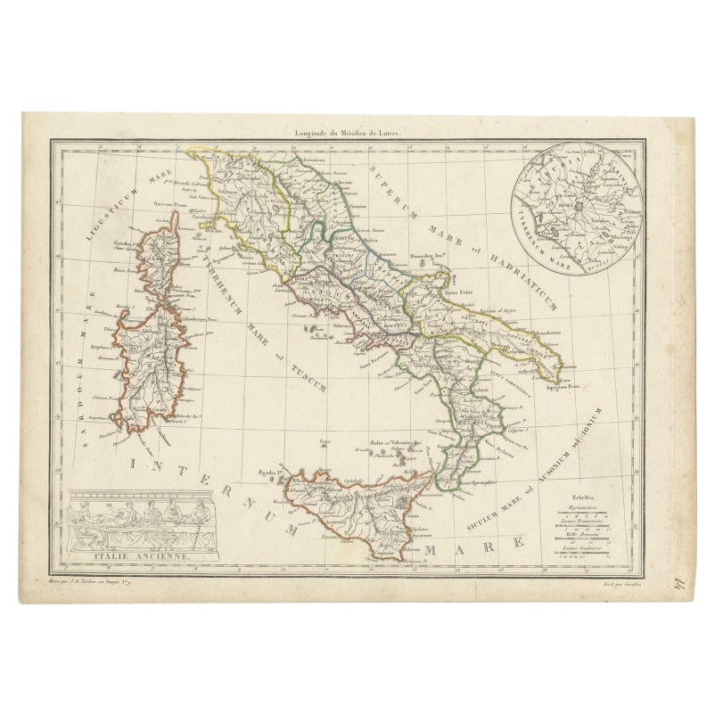
Antique Map of Italy with an Inset of Rome, 1812

Antique Map of Italy with an Inset of Rome, 1812

Located in Langweer, NL

Antique map titled 'Italie Ancienne'. Old map of ancient Italy, with an inset map of the region of Rome. This map originates from 'Atlas Supplementaire du Precis de la Geographie...

Category

Antique 19th Century Maps

Materials

Paper

Classical Italy Antique Map — Italia Antiqua Roman Provinces & Cities, 1815

Classical Italy Antique Map — Italia Antiqua Roman Provinces & Cities, 1815

Located in Langweer, NL

Classical Italy Antique Map — Italia Antiqua Roman Provinces & Cities, Wilkinson 1827 A finely engraved and hand-colored classical map titled Italia Antiqua, published in London...

Category

Antique Early 19th Century British Maps

Materials

Paper

Antique Map of Italy and Corse in Ancient Times, 1848

Antique Map of Italy and Corse in Ancient Times, 1848

Located in Langweer, NL

Antique map titled 'Italia Superior et Corsica'. Old map of northern Italy and Corse originating from 'Orbis Terrarum Antiquus in usum Scholarum'. Artists and Engravers: Publishe...

Category

Antique 19th Century Maps

Materials

Paper

Ancient Sicily Map — Siciliae Antiquae Tabula, Roman Cities & Aeolian Isles 1800

Ancient Sicily Map — Siciliae Antiquae Tabula, Roman Cities & Aeolian Isles 1800

Located in Langweer, NL

Ancient Sicily Map — Siciliae Antiquae Tabula, Roman Cities & Aeolian Isles, 1810 A refined hand-colored classical map titled *Siciliae Antiquae Tabula*, published in London by ...

Category

Antique Early 19th Century British Maps

Materials

Paper

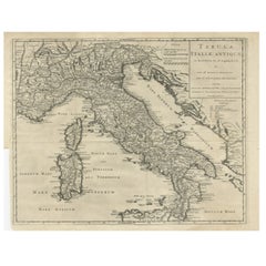
Antique Engraved Map of Italy in Roman Times, ca.1730

Antique Engraved Map of Italy in Roman Times, ca.1730

Located in Langweer, NL

Plain engr. map of Italy according to the division of Emperor Augustus by G. Delisle. Title: "Tabula Italiae Antiquae In Regiones XI Ab Augusto Divisae Et Tum Ad Mensuras Itinerari...

Category

Antique 1730s Maps

Materials

Paper

You May Also Like

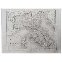
Original Antique Map of North Italy By J.Dower. Unframed, Circa 1835

Original Antique Map of North Italy By J.Dower. Unframed, Circa 1835

Located in St Annes, Lancashire

Great map of North Italy Drawn and engraved by J.Dower Published by Orr & Smith. C.1835 Unframed. Free shipping

Category

Antique 1830s English Maps

Materials

Paper

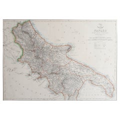
Large Original Antique Map of The South of Italy. John Dower, 1861

Large Original Antique Map of The South of Italy. John Dower, 1861

Located in St Annes, Lancashire

Great map of the South of Italy Lithograph engraving by John Dower Original colour Published, 1861 Unframed Good condition Free shipping    

Category

Antique 1860s English Victorian Maps

Materials

Paper

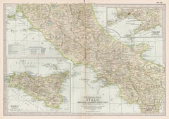
Italy, Central and Southern Part. Century Atlas antique map

Italy, Central and Southern Part. Century Atlas antique map

Located in Melbourne, Victoria

'The Century Atlas. Italy, Central and Southern Part.' Original antique map, 1903. Inset maps of Sicily and Naples. Central fold as issued. Map name an...

Category

Early 20th Century Victorian More Prints

Materials

Lithograph

Map of Italy - Etching by Pierre François Tardieu - 1837

Map of Italy - Etching by Pierre François Tardieu - 1837

By Pierre Francois Tardieu 1

Located in Roma, IT

Map of Italy is an Etching realized in 1837. Good conditions. The artwork is realized in a well-balanced composition. the artwork and belongs to the suite suite "AtlasBatt" realize...

Category

1830s Modern Figurative Prints

Materials

Lithograph

The Kingdom of Naples and Southern Italy: A Hand-Colored 18th Century Homann Map

The Kingdom of Naples and Southern Italy: A Hand-Colored 18th Century Homann Map

By Johann Baptist Homann

Located in Alamo, CA

"Novissima & exactissimus Totius Regni Neapolis Tabula Presentis Belli Satui Accommo Data" is a hand colored map of southern Italy and the ancient Kingdom of Naples created by Johann...

Category

Antique Early 18th Century German Maps

Materials

Paper

Italy, Northern Part. Century Atlas antique vintage map

Italy, Northern Part. Century Atlas antique vintage map

Located in Melbourne, Victoria

'The Century Atlas. Italy, Northern Part.' Original antique map, 1903. Central fold as issued. Map name and number printed on the reverse corners. Sheet 29.5cm by 40cm.

Category

Early 20th Century Victorian More Prints

Materials

Lithograph