Want more images or videos?
Request additional images or videos from the seller
1 of 5

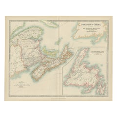
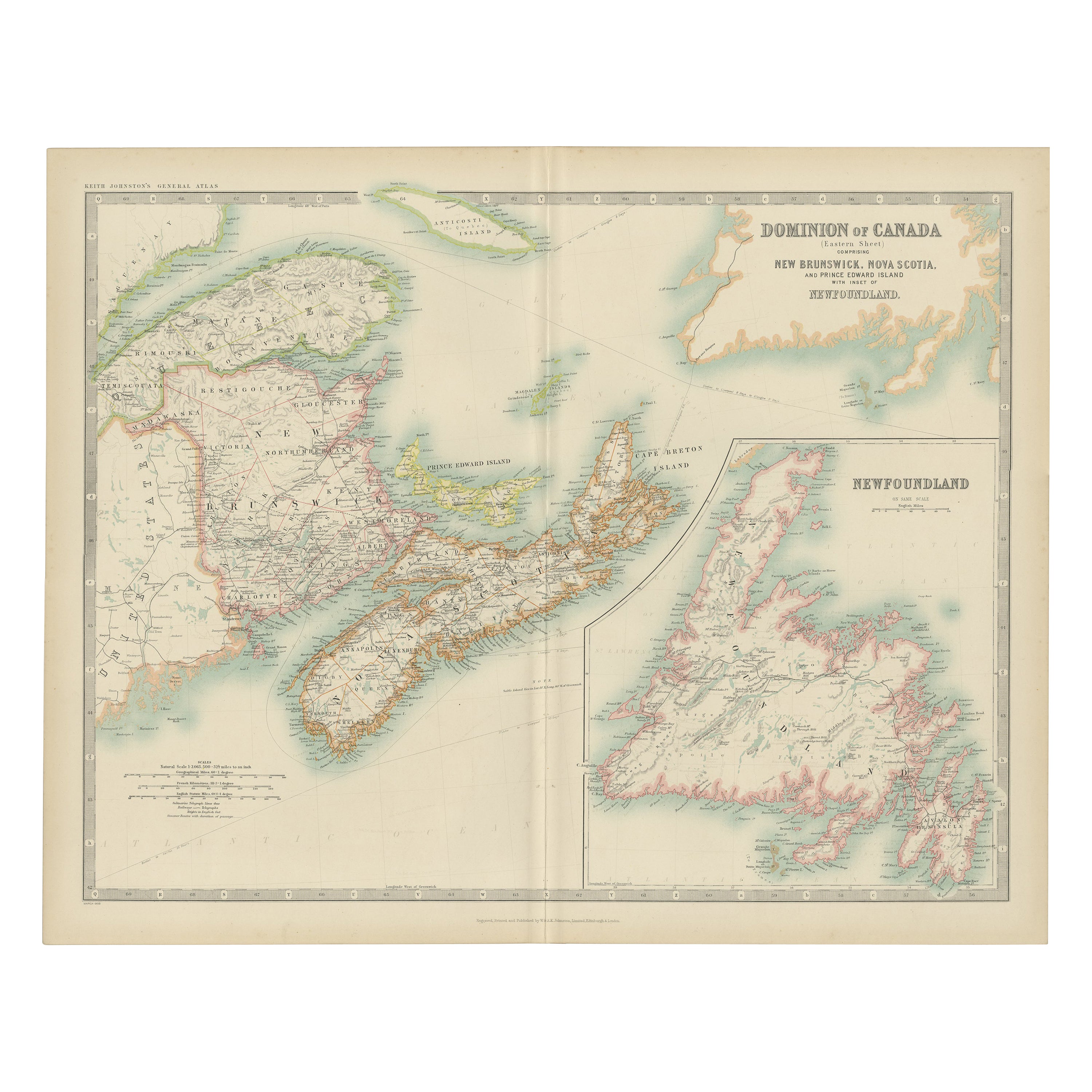
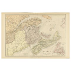
Antique Map of Eastern Canada with an inset Map of Newfoundland, 1882

$331.20
£245.43
€280VAT Included
CA$458.05
A$461.95
CHF 268.93
MX$5,622.17
NOK 3,082.10
SEK 3,184.89
DKK 2,134.92

About the Item

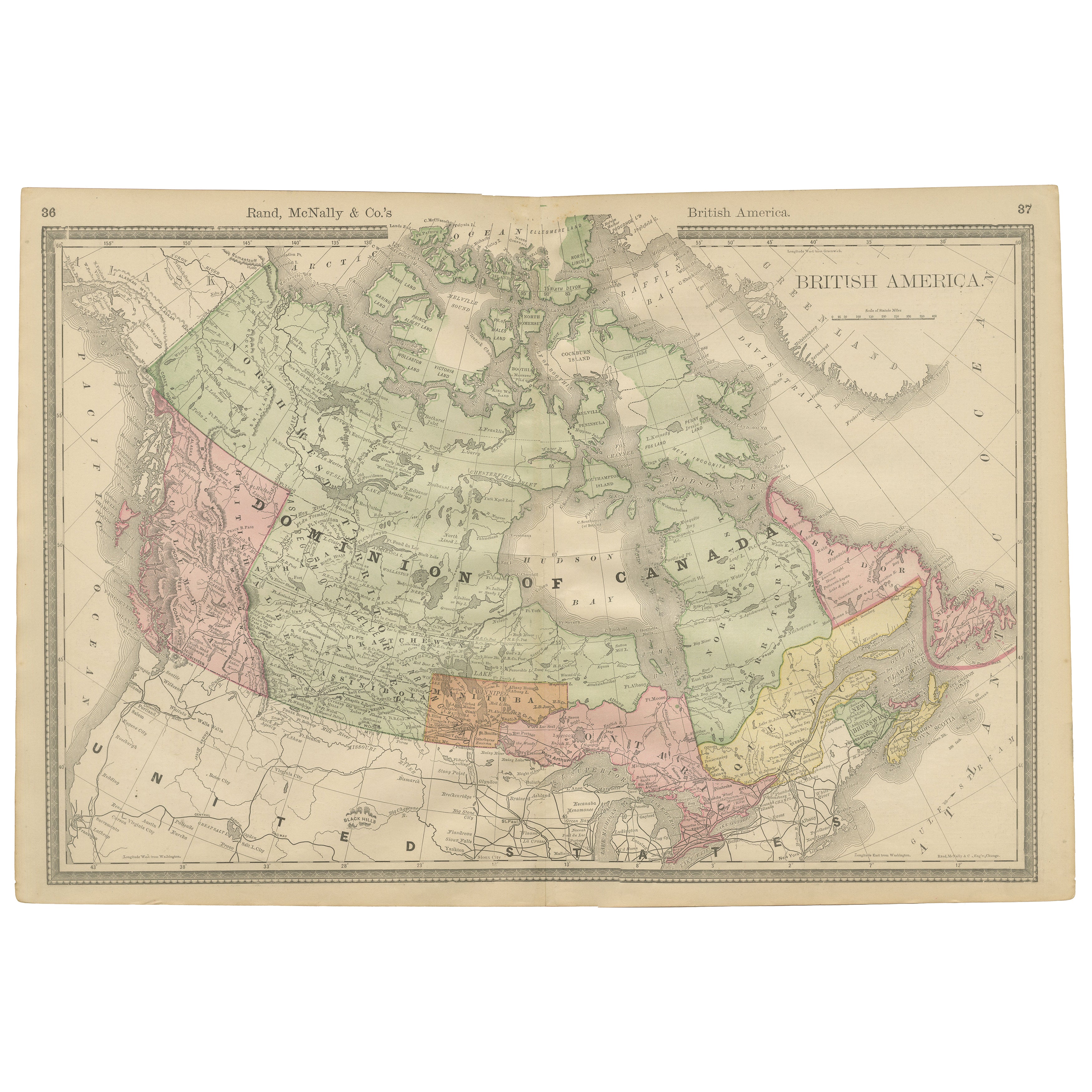
Antique map titled 'Dominion of Canada'. Old map of Eastern Canada with an inset map of Newfoundland. This map originates from 'The Royal Atlas of Modern Geography, Exhibiting, in a Series of Entirely Original and Authentic Maps, the Present Condition of Geographical Discovery and Research in the Several Countries, Empires, and States of the World' by A.K. Johnston. Published by W. and A.K. Johnston, 1882. Artists and Engravers: Alexander Keith Johnston LLD (1804-1871) was a Scottish geographer. He was a pupil of the Edinburgh engraver and mapmaker, James Kirkwood. In 1826, he joined his brother William (who would become Sir William Johnston, Lord Provost of Edinburgh) in a printing and engraving business, forming the well-known cartographical firm of W. and A. K. Johnston. Condition: Good, general age-related toning. Please study image carefully. Date: 1882 Overall size: 61.2 x 49.5 cm. Image size: 57.2 x 44.4 cm. We sell original antique maps to collectors, historians, educators and interior decorators all over the world. Our collection includes a wide range of authentic antique maps from the 16th to the 20th centuries. Buying and collecting antique maps is a tradition that goes back hundreds of years. Antique maps have proved a richly rewarding investment over the past decade, thanks to a growing appreciation of their unique historical appeal. Today the decorative qualities of antique maps are widely recognized by interior designers who appreciate their beauty and design flexibility. Depending on the individual map, presentation, and context, a rare or antique map can be modern, traditional, abstract, figurative, serious or whimsical. We offer a wide range of authentic antique maps for any budget.
  • Dimensions:
    Height: 19.49 in (49.5 cm)Width: 24.1 in (61.2 cm)Depth: 0 in (0.01 mm)
  • Materials and Techniques:
  • Period:
  • Date of Manufacture:
    1882
  • Condition:
  • Seller Location:
    Langweer, NL
  • Reference Number:
    Seller: BG-11823-451stDibs: LU3054326172202

More From This Seller

View All
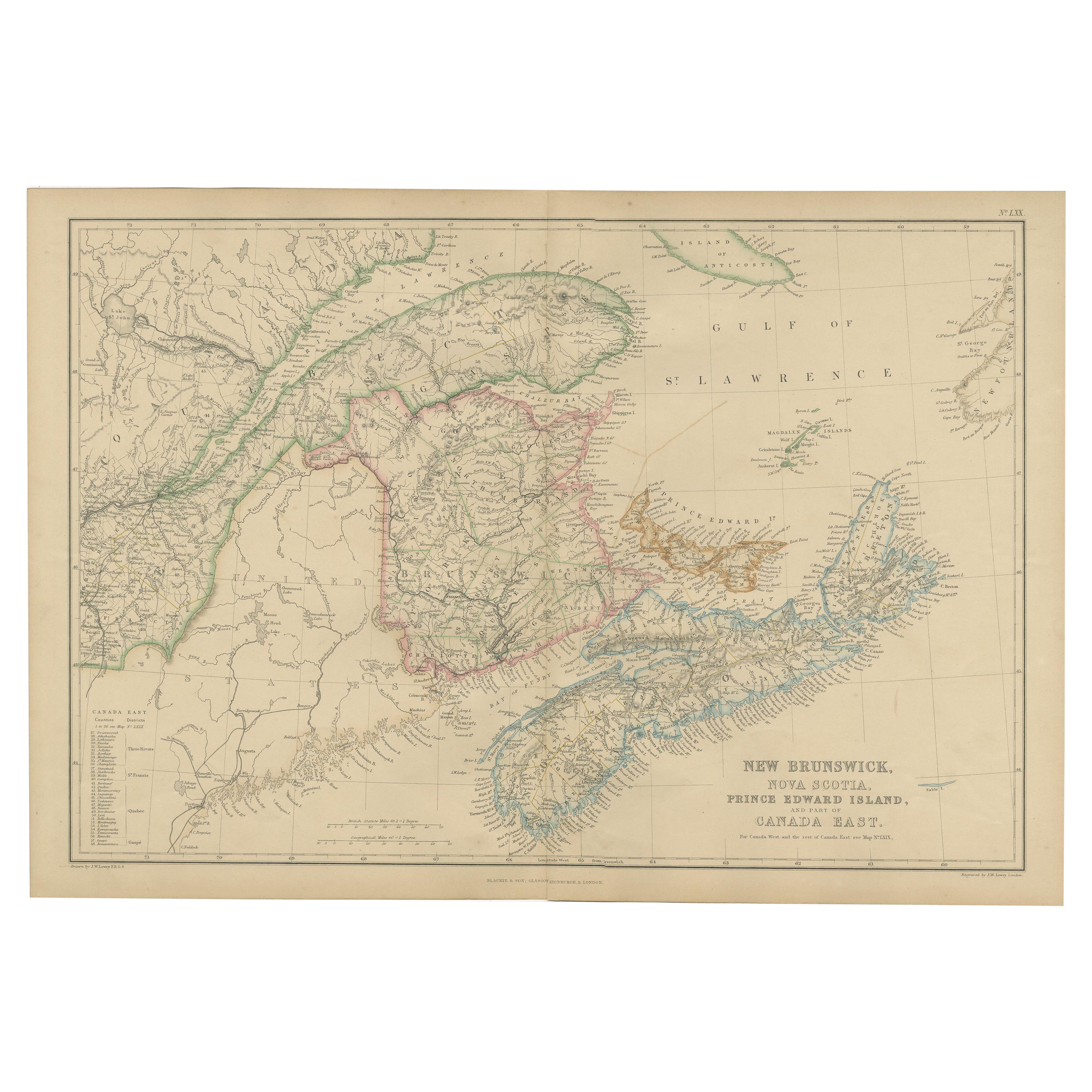
Antique Map of Eastern Canada, Blackie Atlas, 1882, Detailed Geography

Antique Map of Eastern Canada, Blackie Atlas, 1882, Detailed Geography

Located in Langweer, NL

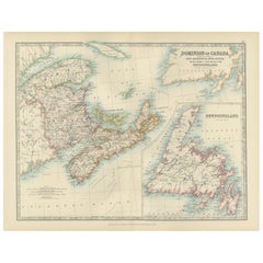
This is a historical map from the 1882 Blackie Atlas, focused on eastern Canada and the maritime provinces. The map is titled "Canada. No. 2. Provinces of Nova Scotia, New Brunswick,...

Category

Antique 1880s British Maps

Materials

Paper
Antique Map of Canada by Johnston '1909'

Antique Map of Canada by Johnston '1909'

Located in Langweer, NL

Antique map titled 'Dominion of Canada'. Original antique map of Canada. With inset map of Newfoundland. This map originates from the ‘Royal Atla...

Category

Early 20th Century Maps

Materials

Paper

Canada Dominion Map 1903 - A Detailed View of Eastern Canada and Newfoundland

Canada Dominion Map 1903 - A Detailed View of Eastern Canada and Newfoundland

Located in Langweer, NL

North America, 1903 - A Colorful Historical Map with Detailed Borders This attractive map of North America was engraved, printed, and published by W. & A.K. Johnston in 1903. A wond...

Category

Early 20th Century Maps

Materials

Paper

Old Original Antique Map of Western Canada, 1882

Old Original Antique Map of Western Canada, 1882

Located in Langweer, NL

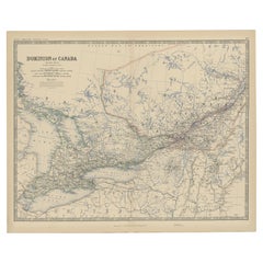
Antique map titled 'Dominion of Canada'. Old map of Western Canada. This map originates from 'The Royal Atlas of Modern Geography, Exhibiting, in a ...

Category

Antique 1880s Maps

Materials

Paper

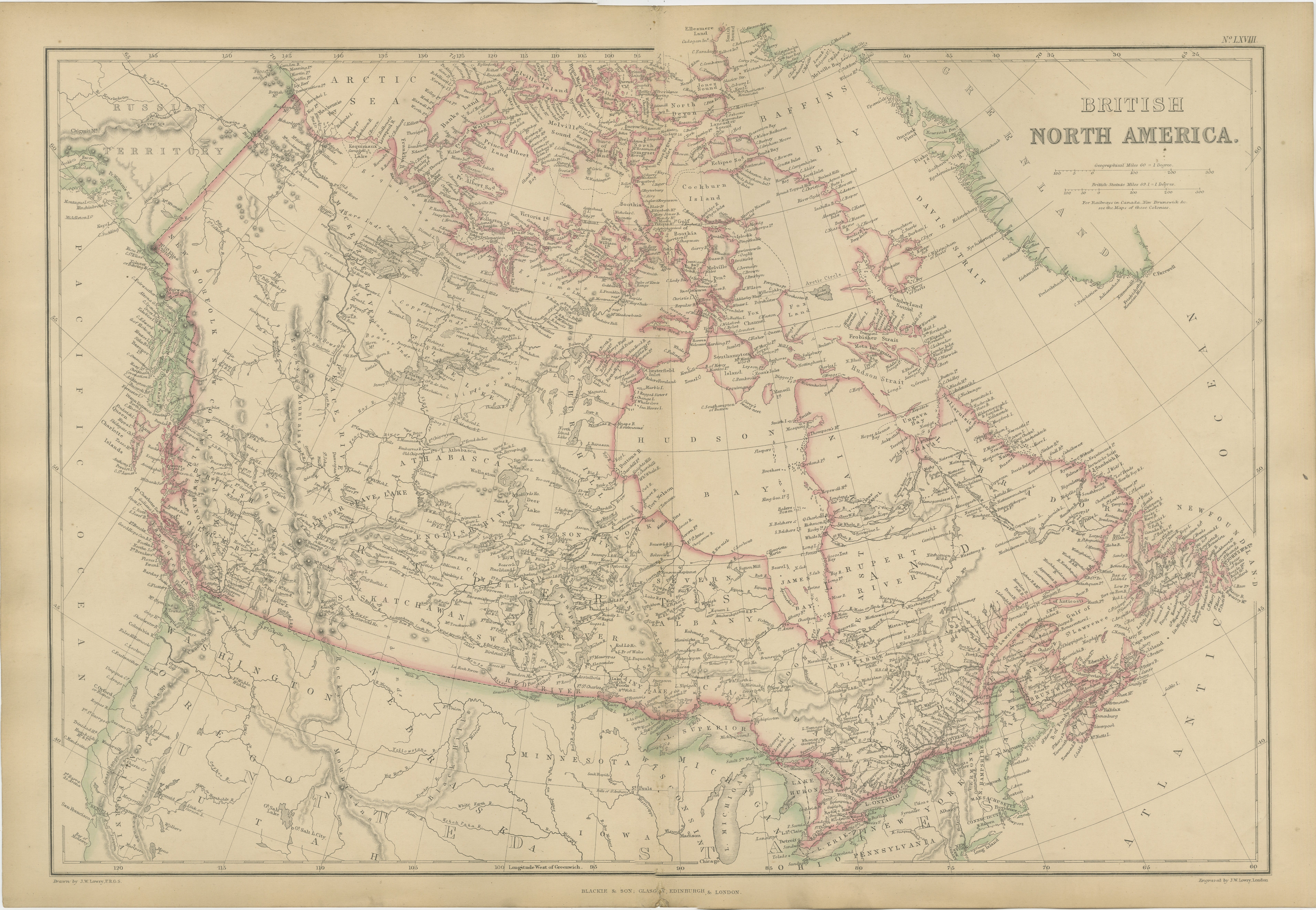
Antique Map of British North America, The Dominion of of Canada, 1882

Antique Map of British North America, The Dominion of of Canada, 1882

Located in Langweer, NL

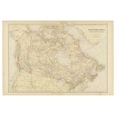
This map is titled "British North America, Dominion of Canada," from the 1882 Blackie Atlas. It features the geographical area that comprises modern-day Canada, with notable features...

Category

Antique 1880s Maps

Materials

Paper

You May Also Like

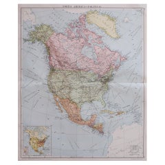
Large Original Vintage Map of North America, circa 1920

Large Original Vintage Map of North America, circa 1920

Located in St Annes, Lancashire

Great map of North America Original color. Good condition Published by Alexander Gross Unframed.  

Category

Vintage 1920s English Edwardian Maps

Materials

Paper

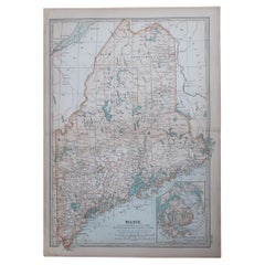
Original Antique Map of the American State of Maine, 1903

Original Antique Map of the American State of Maine, 1903

Located in St Annes, Lancashire

Antique map of Maine Published By A & C Black. 1903 Original colour Good condition Unframed. Free shipping

Category

Antique Early 1900s English Maps

Materials

Paper

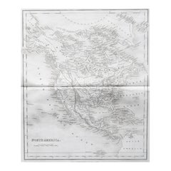
Original Antique Map of North America by Dower, circa 1835

Original Antique Map of North America by Dower, circa 1835

Located in St Annes, Lancashire

Nice map of North America Drawn and engraved by J.Dower Published by Orr & Smith. C.1835 Unframed. Free shipping

Category

Antique 1830s English Maps

Materials

Paper

1864 Map of North America, Antique Hand-Colored Map, by Adolphe Hippolyte Dufour

1864 Map of North America, Antique Hand-Colored Map, by Adolphe Hippolyte Dufour

Located in Colorado Springs, CO

Offered is a map of North America entitled Amerique du Nord from 1864. This rare, separately published wall map was produced by Adolphe Hippolyte Dufour. This map includes vibrant an...

Category

Antique 1860s French Maps

Materials

Paper