Want more images or videos?
Request additional images or videos from the seller
1 of 6

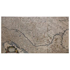
Antique Map of the Eastern Mediterranean and the Balkans

$511.65
$639.5720% Off
£378.69
£473.3620% Off
€432VAT Included
€54020% Off
CA$707.96
CA$884.9520% Off
A$710.19
A$887.7320% Off
CHF 414.74
CHF 518.4320% Off
MX$8,646.74
MX$10,808.4320% Off
NOK 4,762.41
NOK 5,953.0120% Off
SEK 4,904.54
SEK 6,130.6720% Off
DKK 3,293.68
DKK 4,117.1020% Off

About the Item

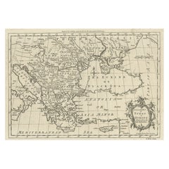
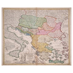
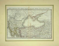
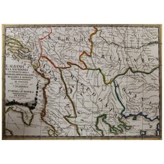
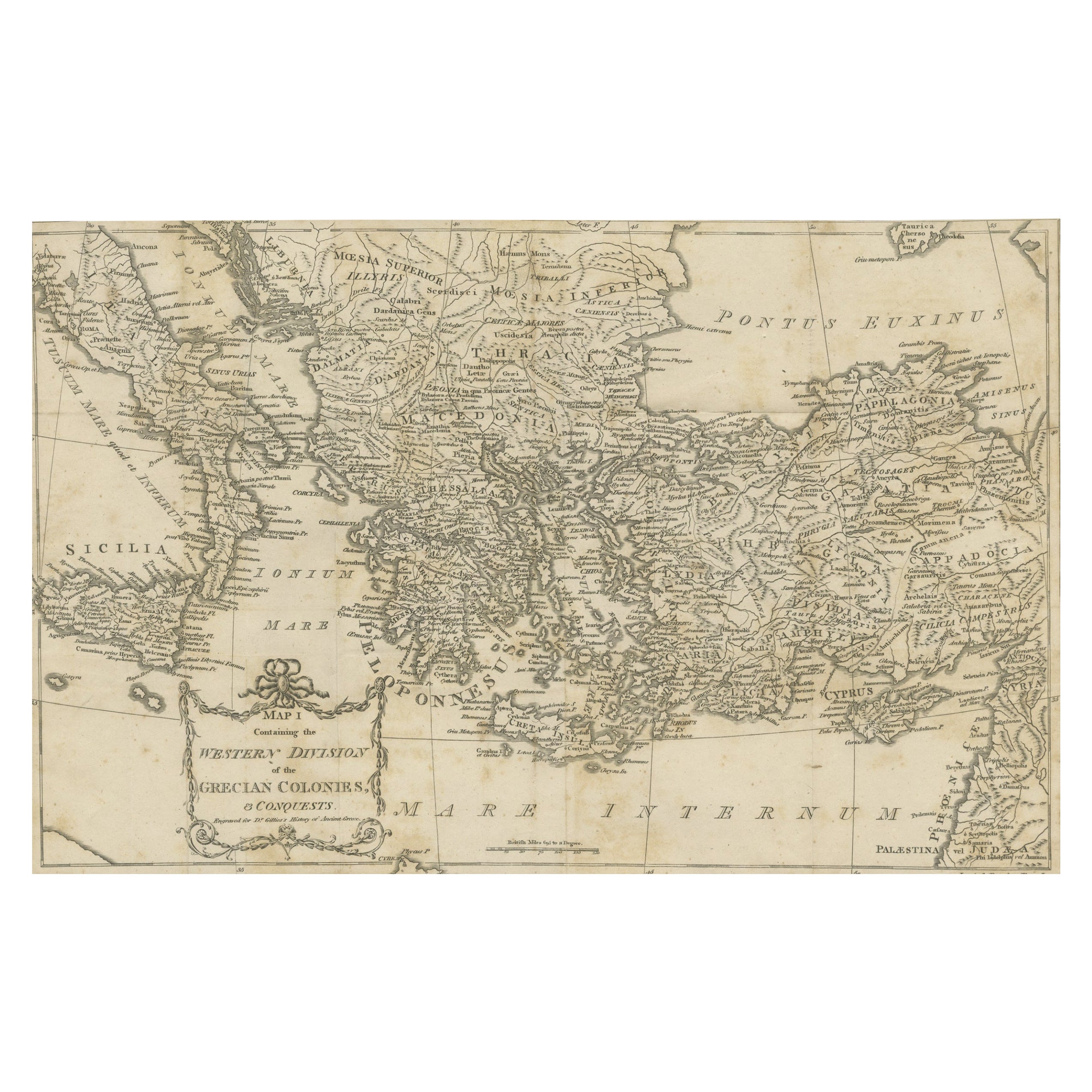
Antique map titled 'La Turquie d'Europe et celle d'Asie'. Attractive double page map of the Eastern Mediterranean and the Balkans by R. Bonne. Originates from 'Atlas de Toutes les Parties Connues du Globe Terrestre (..)' by Raynal. Published 1783. Rigobert Bonne (October 6, 1727 - September 2, 1794) was one of the most important French cartographers of the late 18th century. Bonne was born in Ardennes à Raucourt, France. He taught himself mathematics and by eighteen was a working engineer. During the War of the Austrian Succession (1740 - 1748) he served as a military engineer at Berg-op-Zoom. It the subsequent years Bonne became one of the most respected masters of mathematics, physics, and geography in Paris. In 1773, Bonne succeeded Jacques-Nicolas Bellin as Royal Cartographer to France in the office of the Hydrographer at the Depôt de la Marine. Working in his official capacity, Bonne compiled some of the most detailed and accurate maps of the period - most on an equal-area projection known erroneously as the 'Bonne Projection.' Bonne's work represents an important step in the evolution of the cartographic ideology away from the decorative work of the 17th and early 18th century towards a more scientific and practical aesthetic. While mostly focusing on coastal regions, the work of Bonne is highly regarded for its detail, historical importance, and overall aesthetic appeal. Bonne died of edema in 1794, but his son Charles-Marie Rigobert Bonne continued to publish his work well after his death.
  • Dimensions:
    Height: 9.38 in (23.8 cm)Width: 13.39 in (34 cm)Depth: 0.02 in (0.5 mm)
  • Materials and Techniques:
  • Period:
  • Date of Manufacture:
    1783
  • Condition:
    General age-related toning. Original folding line. Minor wear and soiling. Blank verso. Please study image carefully.
  • Seller Location:
    Langweer, NL
  • Reference Number:
    Seller: BG-13421-11stDibs: LU3054335150532

More From This Seller

View All
Antique Map of Greece, Turkey and surroundings with original coloring

Antique Map of Greece, Turkey and surroundings with original coloring

Located in Langweer, NL

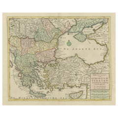
Antique map titled 'Nieuwe Kaart van Europisch Turkyen na de alderlaatste ontdekking in t licht gebracht'. Antique map of Greece with Crete and Cyprus, Turkey and the Black Sea. Publ...

Category

Antique Mid-18th Century Maps

Materials

Paper
Detailed Antique Map of the Black Sea, Balkans and Asia Minor

Detailed Antique Map of the Black Sea, Balkans and Asia Minor

Located in Langweer, NL

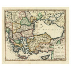
Antique map titled 'Nuova Carta del Europa Turchesca (..)'. This is an Italian version of Tirion's detailed map of the Black Sea, Balkans, and Asia Minor. It is embellished with a si...

Category

Antique Mid-18th Century Maps

Materials

Paper
Original Antique Map of Greece and part of Turkey

Original Antique Map of Greece and part of Turkey

Located in Langweer, NL

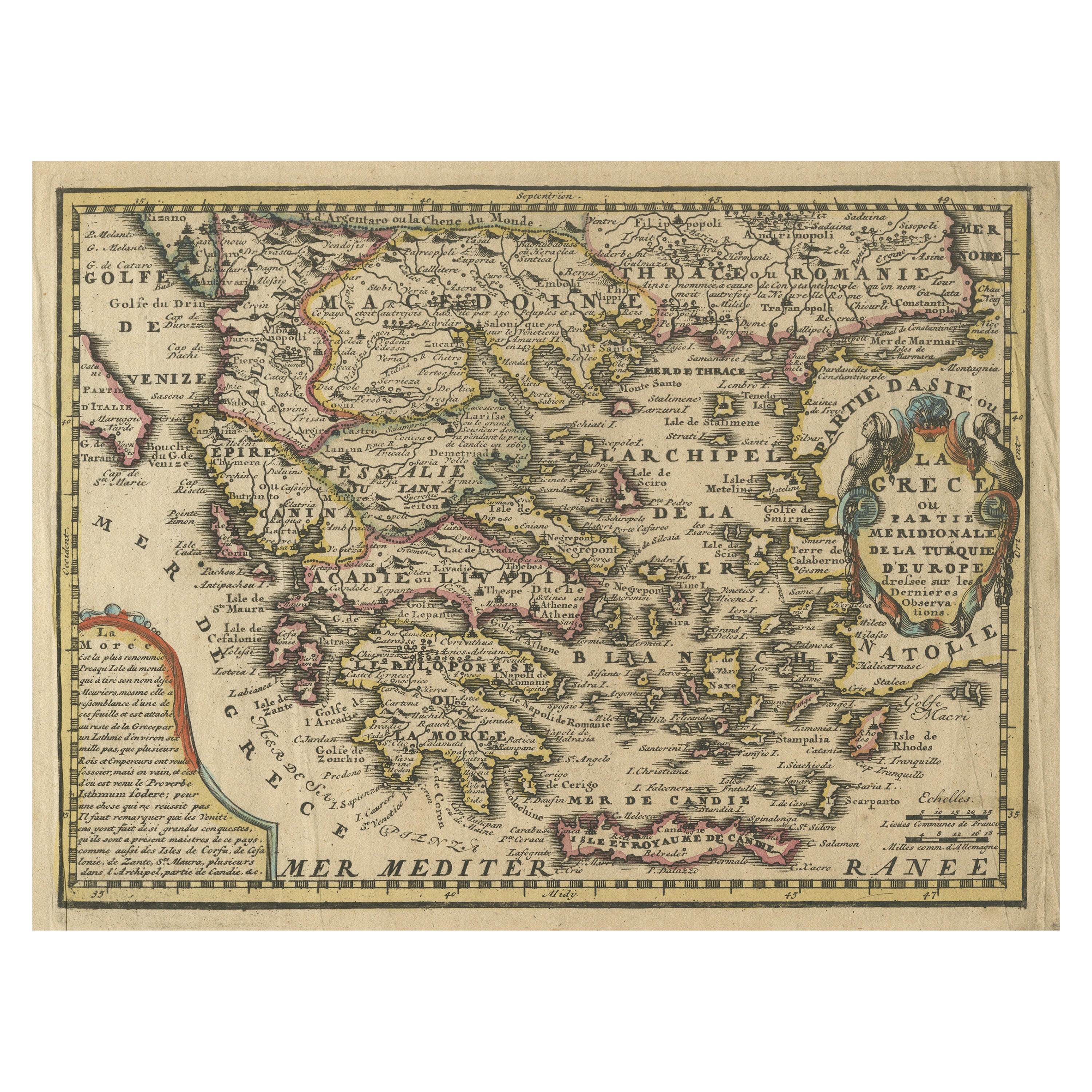
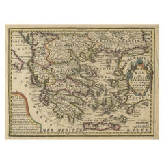
Original antique map titled 'La Grece ou partie meridionale de la Turquie d'Europe'. Small map of Greece and part of Turkey. This map originates from 'Le nouveau et curieux Atlas Geo...

Category

Antique Early 18th Century Maps

Materials

Paper
Antique Map of Macedonia, Northern Greece and part of Turkey in Europe

Antique Map of Macedonia, Northern Greece and part of Turkey in Europe

Located in Langweer, NL

Antique map titled 'Macedonia Epirus et Achaia'. Original old map of Macedonia, northern Greece, and part of Turkey in Europe. Published by W.J. Blaeu, circa 1640. Willem Janszoon ...

Category

Antique Mid-17th Century Maps

Materials

Paper
Map of the Ottoman Empire in Europe, incl. the Balkans, Greece & Turkey, c.1760

Map of the Ottoman Empire in Europe, incl. the Balkans, Greece & Turkey, c.1760

Located in Langweer, NL

Antique map Turkey titled 'An Accurate Map of Turky in Europe drawn from the best Authorities'. Map of the Ottoman Empire in Europe, the Balkans, Greece, and Turkey in Europe. Engr...

Category

Antique 1760s Maps

Materials

Paper

Map of Turkish Dominions in Europe, Ottoman Balkan Territories 1813

Map of Turkish Dominions in Europe, Ottoman Balkan Territories 1813

Located in Langweer, NL

Map of Turkish Dominions in Europe, Ottoman Balkan Territories 1814 This antique map titled "Turkish Dominions in Europe" provides a detailed depiction of the Balkan Peninsula and a...

Category

Antique 1810s Maps

Materials

Paper

You May Also Like

Greece, "Graeciae Antiquae"" A 17th Century Hand-colored Map by Sanson

Greece, "Graeciae Antiquae"" A 17th Century Hand-colored Map by Sanson

By Nicolas Sanson

Located in Alamo, CA

This is an original 17th century hand colored copperplate engraved map of Greece entitled "Graeciae Antiquae Tabula Hanc Geographicam" by Nicolas d'Abbeville Sanson, engraved and pub...

Category

Antique Mid-17th Century French Maps

Materials

Paper

Southern & Eastern Europe: A Large 17th C. Hand-colored Map by Sanson & Jaillot

Southern & Eastern Europe: A Large 17th C. Hand-colored Map by Sanson & Jaillot

By Nicolas Sanson

Located in Alamo, CA

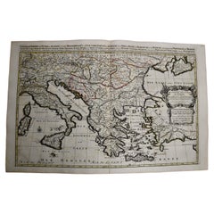
This large hand-colored map entitled "Estats de L'Empire des Turqs en Europe, ou sont les Beglerbeglicz our Gouvernements" was originally created by Nicholas Sanson d'Abbeville and t...

Category

Antique 1690s French Maps

Materials

Paper

Hand-Colored 18th Century Homann Map of the Danube, Italy, Greece, Croatia

Hand-Colored 18th Century Homann Map of the Danube, Italy, Greece, Croatia

By Johann Baptist Homann

Located in Alamo, CA

"Fluviorum in Europa principis Danubii" is a hand colored map of the region about the Danube river created by Johann Baptist Homann (1663-1724) in his 'Atlas Novus Terrarum', publish...

Category

Antique Early 18th Century German Maps

Materials

Paper

17th Century Nicolas Visscher Map of Southeastern Europe

17th Century Nicolas Visscher Map of Southeastern Europe

Located in Hamilton, Ontario

A beautiful, highly detailed map of southeastern Europe by Nicolas Visscher. Includes regions of Northern Italy (showing the cities Bologna, Padua, and Venice), Bohemia, Austria (sho...

Category

Antique 17th Century Dutch Maps

Materials

Paper

18th Century Map of the Southern Balkans by Giovanni Maria Cassini

18th Century Map of the Southern Balkans by Giovanni Maria Cassini

By Giovanni Maria Cassini

Located in Hamilton, Ontario

18th century map by Italian engraver Giovanni Maria Cassini (Italy 1745-1824). Map of the Southern Balkans: Rome. Hand colored and copper engraved print done in the year 1788. It in...

Category

Antique 18th Century Italian Maps

Materials

Paper