Want more images or videos?
Request additional images or videos from the seller
1 of 10

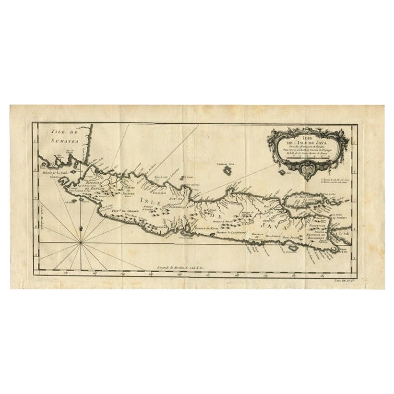
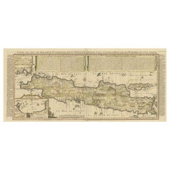
Antique Map of Java by Henri Chatelain, Decorative Print, 1718, France

$2,504.37
$3,130.4620% Off
£1,849.97
£2,312.4620% Off
€2,120VAT Included
€2,65020% Off
CA$3,476.89
CA$4,346.1220% Off
A$3,540.84
A$4,426.0520% Off
CHF 2,032.59
CHF 2,540.7420% Off
MX$42,726.65
MX$53,408.3220% Off
NOK 23,556.72
NOK 29,445.9020% Off
SEK 23,880.30
SEK 29,850.3820% Off
DKK 16,167.01
DKK 20,208.7620% Off

About the Item

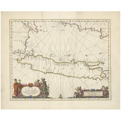
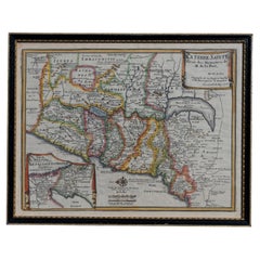
Antique map of Java titled 'Carte de l'Ile de Java: Partie Occidentale, Partie Orientale, Dressee tout Nouvellement (..)'. Decorative large format map map of Java, with an inset of the bay of Batavia in the lower left corner. Two title banners include a short sketch of the history of the Dutch on the island. This map originates from 'Atlas Historique' by H. Chatelain. Artists and Engravers: Henri Abraham Chatelain (1684-1743) was a Huguenot pastor of Parisian origins. Chatelain proved a successful businessman, creating lucrative networks in London, The Hague, and then Amsterdam. He is most well known for the Atlas Historique, published in seven volumes between 1705 and 1720. This encyclopedic work was devoted to the history and genealogy of the continents, discussing such topics as geography, cosmography, topography, heraldry, and ethnography. Published thanks to a partnership between Henri, his father, Zacharie, and his younger brother, also Zacharie, the text was contributed to by Nicolas Gueudeville, a French geographer. The maps were by Henri, largely after the work of Guillaume Delisle, and they offered the general reader a window into the emerging world of the eighteenth century. Condition: Very good, general age-related toning. Please study image carefully. Date: 1718 We sell original antique maps to collectors, historians, educators and interior decorators all over the world. Our collection includes a wide range of authentic antique maps from the 16th to the 20th centuries. Buying and collecting antique maps is a tradition that goes back hundreds of years. Antique maps have proved a richly rewarding investment over the past decade, thanks to a growing appreciation of their unique historical appeal. Today the decorative qualities of antique maps are widely recognized by interior designers who appreciate their beauty and design flexibility. Depending on the individual map, presentation, and context, a rare or antique map can be modern, traditional, abstract, figurative, serious or whimsical. We offer a wide range of authentic antique maps for any budget.
  • Dimensions:
    Height: 38.59 in (98 cm)Width: 17.33 in (44 cm)Depth: 0.01 in (0.2 mm)
  • Materials and Techniques:
  • Place of Origin:
  • Period:
  • Date of Manufacture:
    1718
  • Condition:
    Condition: Very good, general age-related toning. Please study image carefully.
  • Seller Location:
    Langweer, NL
  • Reference Number:
    Seller: BG-118191stDibs: LU3054326604372

More From This Seller

View All
Antique French Map of Java, Indonesia by Chatelain, '1719'

Antique French Map of Java, Indonesia by Chatelain, '1719'

Located in Langweer, NL

Antique map titled 'Carte de l'Ile de Java: Partie Occidentale, Partie Orientale, Dressee tout Nouvellement Sur Les Memoires Les Plus Exacts (..)'. This beautiful map of Java (Indone...

Category

Antique Early 18th Century Maps

Materials

Paper

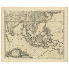
Antique Map of Southeast Asia 'India, Indonesia' by N. Visscher, circa 1670

Antique Map of Southeast Asia 'India, Indonesia' by N. Visscher, circa 1670

Located in Langweer, NL

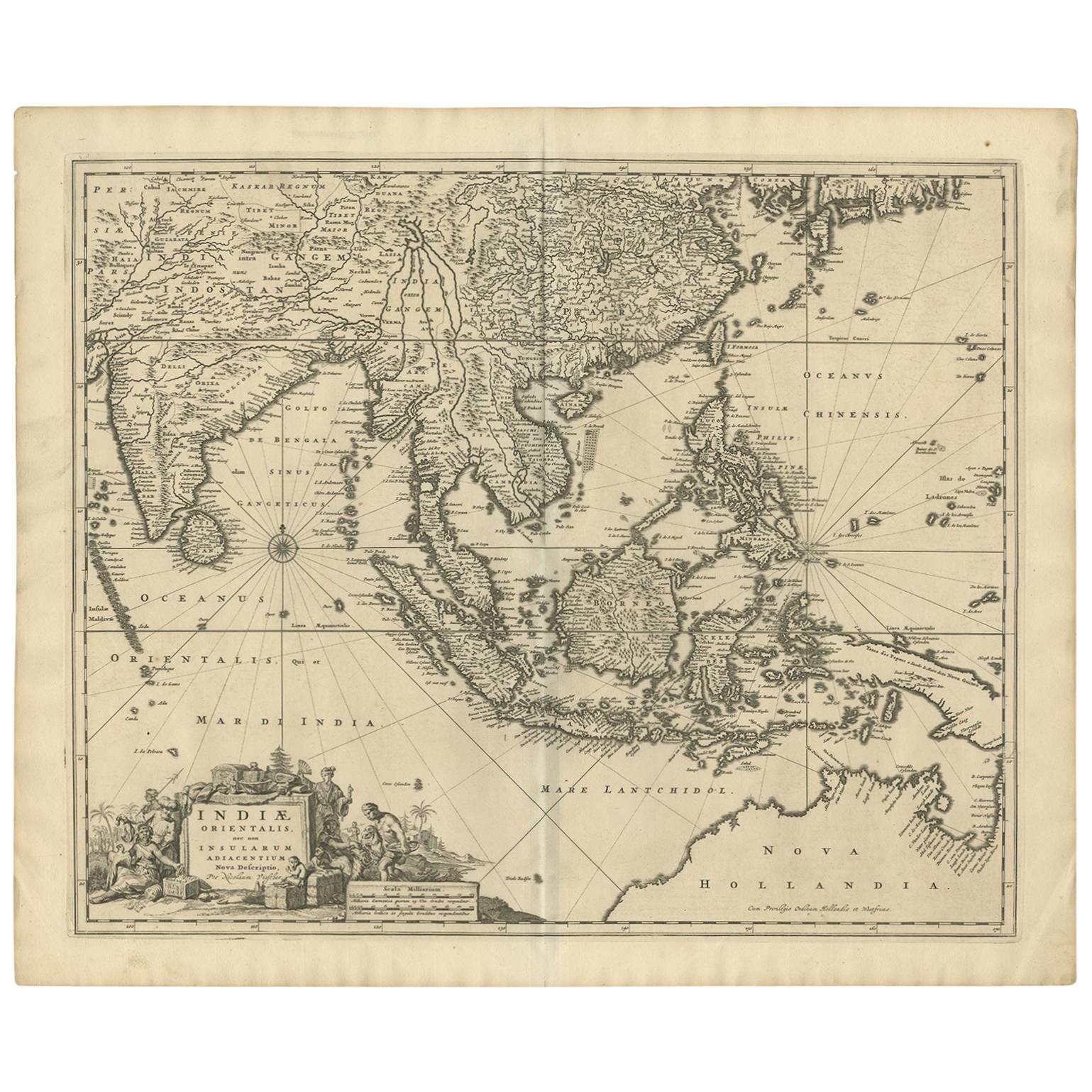
Antique map titled 'Indiae Orientalis, nec non Insularum Adiacentium Nova Descriptio.' The map centers on the Strait of Malacca and Malay Peninsula. It extends from India and the Mal...

Category

Antique Mid-17th Century Maps

Materials

Paper

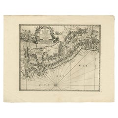
Antique Map of Peru by van der Aa, 'circa 1720'

Antique Map of Peru by van der Aa, 'circa 1720'

Located in Langweer, NL

Antique map titled 'Le Perou, Grand Pays de l Amerique Meridionale (..)'. Decorative map of Peru including portions of Ecuador and northern Chile and Boliv...

Category

Antique Early 18th Century Maps

Materials

Paper

Antique Map of Java by Janssonius, circa 1650

Antique Map of Java by Janssonius, circa 1650

Located in Langweer, NL

Antique map titled 'Insulae Iavae cum parte insularum Borneo Sumatrae, et circumjacentium insularum novissima delineatio'. Beautiful map of Java and parts of Bali, Borneo, Sumatra an...

Category

Antique Mid-17th Century Maps

Materials

Paper

Antique Map of the Holy Land, c.1717

Antique Map of the Holy Land, c.1717

Located in Langweer, NL

Antique map Israel titled 'Tabula Geographica Terrae Sanctae'. Rare edition made after a map of the Holy Land by J. Bonfrerius. The map is oriented ...

Category

Antique 18th Century Maps

Materials

Paper

Antique Map of the Region of Venice, Italy by F. De Wit, circa 1700

Antique Map of the Region of Venice, Italy by F. De Wit, circa 1700

Located in Langweer, NL

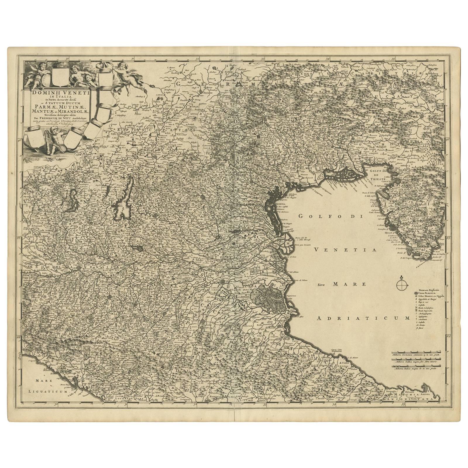
Antique map of the Dominion of Venice, extending from Stato di Milano and Genoa to Istria. Including Lake Garda, Venice and Istria.

Category

Antique Early 18th Century Maps

Materials

Paper

You May Also Like

Map Holy Land La Terre Sainte Engraved van Loon Published N de Fer 1703 French

Map Holy Land La Terre Sainte Engraved van Loon Published N de Fer 1703 French

Located in BUNGAY, SUFFOLK

La Terre Sainte, The Holy Land, Tiree Des Memoires De M.De.La Rue. Par N. de Fer. Geographe de Sa Majeste Catoliq et de Monseigneur le Dauphin. Avec Privil du Roi 1703 Detailed map of the Holy Land from Nicholas de Fer's L'Atlas Curieux ou le Monde. East is oriented at the top. MAKER Nicolas de Fer 1646-1720 The French cartographer and engraver, Nicolas de Fer, was a master at creating maps that were works of art. The maps that he published were printed during the Baroque period when the decorative arts were characterized by ornate detail. De Fer’s detailed maps and atlases were valued more for their decorative content than their geographical accuracy. Nicolas de Fer was born in 1646. His father, Antoine de Fer, owned a mapmaking firm. At the age of twelve, Nicolas was apprenticed to a Parisian engraver named Louis Spirinx. The family business was starting to decline when his father died in 1673. Nicolas de Fer’s mother, Genevieve, took over the business after the death of her husband. In 1687 the business was passed on to Nicolas and the profits increased after he took over the firm. Nicolas de Fer was a prolific cartographer who produced atlases and hundreds of single maps. He eventually became the official geographer to King Louis XIV of France and King Philip V...

Category

Antique Early 1700s French Louis XIV Maps
Materials

Paper

Original Antique Map of South America. C.1780

Original Antique Map of South America. C.1780

Located in St Annes, Lancashire

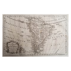
Great map of South America Copper-plate engraving Published C.1780 Two small worm holes to left side of map Unframed.

Category

Antique Early 1800s English Georgian Maps

Materials

Paper

Antique French Map of Asia Including China Indoneseia India, 1783

Antique French Map of Asia Including China Indoneseia India, 1783

Located in Amsterdam, Noord Holland

Very nice map of Asia. 1783 Dedie au Roy. Additional information: Country of Manufacturing: Europe Period: 18th century Qing (1661 - 1912) Condition: Overall Condition B (Good Used)...

Category

Antique 18th Century European Maps

Materials

Paper

Antique Map - Gallia - Etching by Johannes Janssonius - 1650s

Antique Map - Gallia - Etching by Johannes Janssonius - 1650s

By Johannes Janssonius

Located in Roma, IT

Antique Map - Gallia is an antique map realized in 1650 by Johannes Janssonius (1588-1664). The Map is Hand-colored etching, with coeval watercoloring. Good conditions with slight ...

Category

1650s Modern Figurative Prints

Materials

Etching