Want more images or videos?
Request additional images or videos from the seller
1 of 9

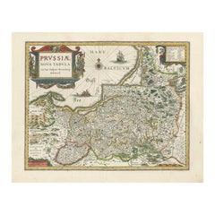
Antique Map of Prussia – Blaeu “Prussiae Nova Tabula”, Later Edition, c.1680

$685.07
£507.36
€580VAT Included
CA$953.32
A$959.40
CHF 556.83
MX$11,650.65
NOK 6,396.24
SEK 6,602.15
DKK 4,422.38

About the Item

Title Antique Map of Prussia – Blaeu “Prussiae Nova Tabula”, Later Edition, c.1680 Description Original antique engraved map titled “Prussiae Nova Tabula,” depicting the historic region of Prussia along the southeastern coast of the Baltic Sea. This example represents a later edition of the celebrated Prussia map originally produced by the Blaeu family, retaining the strong cartographic structure of the earlier state while presenting the region with refined engraving and clear geographic detail. The map covers Prussia proper together with adjoining territories, including Pomerelia, parts of Poland, Lithuania, and neighboring Baltic regions. An exceptionally dense network of towns, rivers, forests, and roads is shown, reflecting the advanced state of Dutch cartography in the late seventeenth century. The Baltic coastline is emphasized, with maritime orientation reinforced by a prominent compass rose radiating across the sea. Decoratively, the map is enhanced by a large and elegant cartouche bearing the title, together with a finely engraved compass rose dominating the Baltic Sea. These elements exemplify the enduring visual appeal of Dutch Golden Age cartography, where geographic precision was paired with ornamental design intended for both scholarly use and display. Prussia emerged as a major political entity in 1525 with the establishment of the Duchy of Prussia and would later become one of the most influential states in Central and Northern Europe. This map captures the region during a formative phase of its territorial and political development, making it an important historical document for understanding the roots of later German and Baltic power structures. The map is associated with the work of **Joan Blaeu**, who, together with his father **Willem Janszoon Blaeu**, produced some of the finest atlases of the seventeenth century. As official cartographer to the Dutch East India Company, Joan Blaeu stood at the center of global geographic knowledge, and his maps are renowned for their accuracy, clarity, and lasting aesthetic quality. Later editions such as this one continued to circulate widely and remain highly collectible. A strong and visually impressive map, combining historical significance with decorative appeal, ideal for collectors of early European cartography, Prussian history, and Dutch Golden Age maps, as well as for refined interior display. Condition Good original condition with light age-related toning and minor handling wear consistent with seventeenth-century engraved maps. Central fold as issued. No later hand coloring observed. Framing tips This map frames beautifully in a dark walnut or ebonized frame with a wide ivory or soft off-white mat, allowing the cartouche and compass rose to stand out. Museum glass is recommended to protect the paper and fine engraved detail. Technique: Engraving Maker: Joan Blaeu, Amsterdam, circa 1680
  • Dimensions:
    Height: 17.13 in (43.5 cm)Width: 21.86 in (55.5 cm)Depth: 0 in (0.02 mm)
  • Materials and Techniques:
  • Period:
    1680-1689
  • Date of Manufacture:
    circa 1680
  • Condition:
    Repaired: Good original condition with light age-related toning and minor handling wear consistent with seventeenth-century engraved maps. Central fold as issued. No later hand coloring observed. Condition: Fair, age-related toning. Some marginal closed tears and repairs to verso, margins professionally repaired but not affecting printed image, backed with archival tissue. Blank verso, please study image carefully.
  • Seller Location:
    Langweer, NL
  • Reference Number:
    Seller: BG-12411-21stDibs: LU3054327315042

More From This Seller

View All
Antique Map of Prussia – Blaeu “Prussiae Nova Tabula”, c.1635

Antique Map of Prussia – Blaeu “Prussiae Nova Tabula”, c.1635

By Willem Blaeu

Located in Langweer, NL

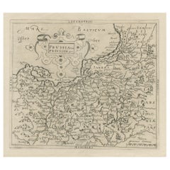
Antique Map of Prussia – Blaeu “Prussiae Nova Tabula”, c.1635 Original antique engraved map titled “Prussiae Nova Tabula,” depicting the historic regio...

Category

Antique Mid-17th Century Dutch Maps

Materials

Paper

Antique Map of Prussia by Janssonius, 1628

Antique Map of Prussia by Janssonius, 1628

Located in Langweer, NL

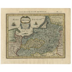
Antique map titled 'Prussia'. Original antique map of Prussia, a historically prominent German state that originated in 1525 with a duchy centered on th...

Category

Antique Mid-17th Century Dutch Maps

Materials

Paper

Extremele Rare, Original Miniature Map of Prussia, ca.1640

Extremele Rare, Original Miniature Map of Prussia, ca.1640

Located in Langweer, NL

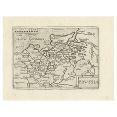
Antique map titled 'Prussia'. Extremele rare, original miniature map of Prussia, a historically prominent German state that originated in 1525 with a du...

Category

Antique 1640s European Maps

Materials

Paper

Antique Map of Germany During the Mid-18th Century, Published in 1747

Antique Map of Germany During the Mid-18th Century, Published in 1747

Located in Langweer, NL

Antique map Germany titled 'A New & Accurate Map of Germany'. It covers Germany during the mid-18th century, which included all of modern day Germany, Austria, Switzerland, Czech Rep...

Category

Antique 18th Century Maps

Materials

Paper

You May Also Like

A Hand Colored 17th Century Janssonius Map of Prussia: Poland, N. Germany, etc.

A Hand Colored 17th Century Janssonius Map of Prussia: Poland, N. Germany, etc.

By Johannes Janssonius

Located in Alamo, CA

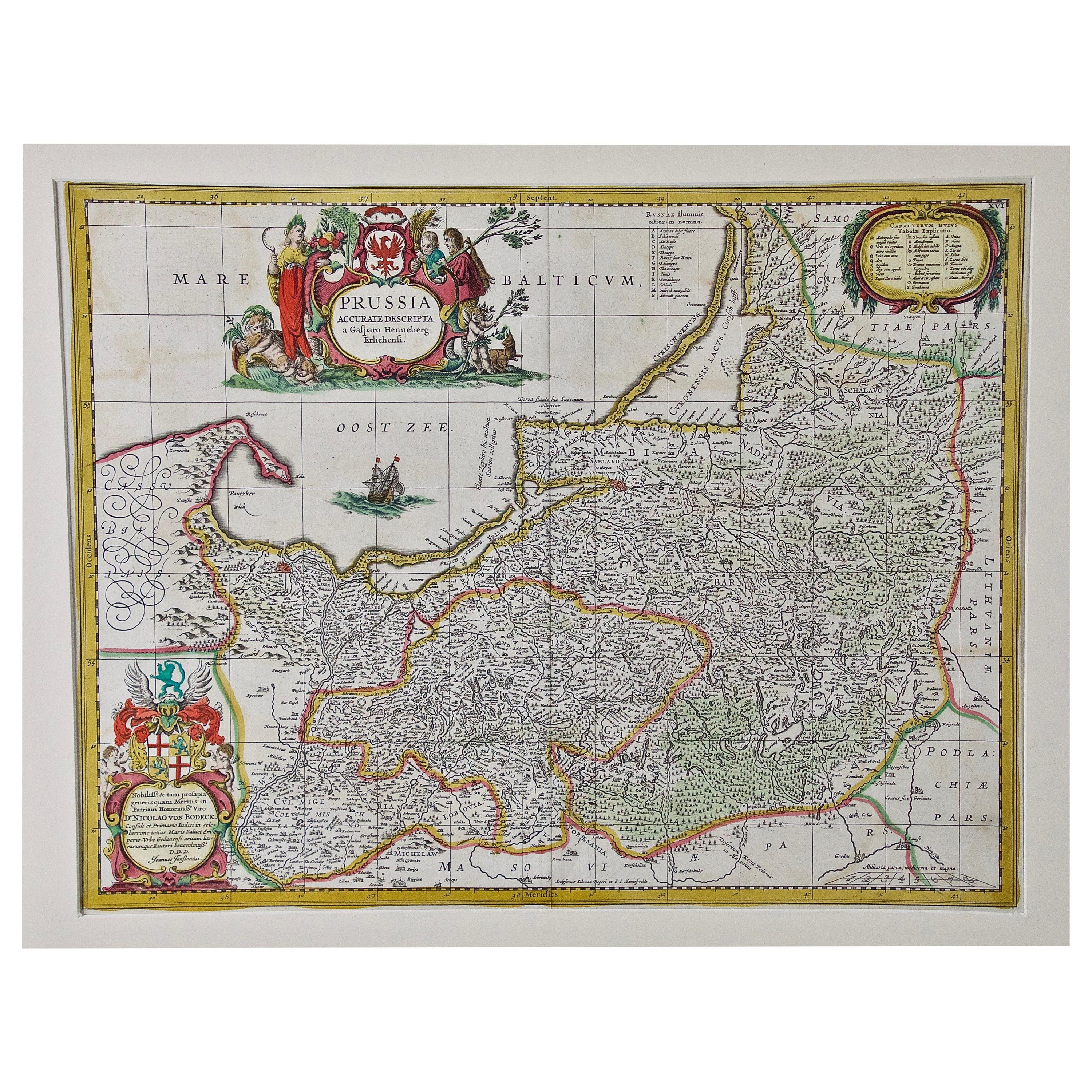
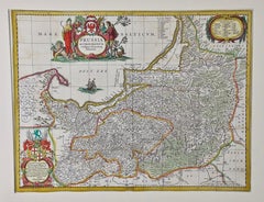
An attractive hand-colored copperplate engraved 17th century map of Prussia entitled "Prussia Accurate Descripta a Gasparo Henneberg Erlichensi", published in Amsterdam by Joannes Janssonius in 1664. This very detailed map from the golden age of Dutch cartography includes present-day Poland, Latvia, Lithuania, Estonia and portions of Germany. This highly detailed map is embellished by three ornate pink, red, mint green and gold...

Category

Mid-17th Century Old Masters Landscape Prints

Materials

Engraving

1646 Jansson Map Entitled "Procinvia Connactiae, " Ric.a006

1646 Jansson Map Entitled "Procinvia Connactiae, " Ric.a006

Located in Norton, MA

1646 Jansson map entitled "Procinvia connactiae," Ric.a006 Description: The PROVINCE of CONNAVGT 490 x 380From vol 4 of Jansson's Atlas Novus 1646, published in Amsterdam with...

Category

Antique 17th Century Unknown Maps

Materials

Paper

17th Century Hand-Colored Map of a Region in West Germany by Janssonius

17th Century Hand-Colored Map of a Region in West Germany by Janssonius

By Johannes Janssonius

Located in Alamo, CA

This attractive highly detailed 17th century original hand-colored map is entitled "Archiepiscopatus Maghdeburgensis et Anhaltinus Ducatus cum terris adjacentibus". It was published ...

Category

Antique Mid-17th Century Dutch Maps

Materials

Paper

1633 Map Entitled "Beauvaisis Comitatus Belova Cium, Ric.0002

1633 Map Entitled "Beauvaisis Comitatus Belova Cium, Ric.0002

Located in Norton, MA

1633 map entitled "Beauvaisis Comitatus Belova Cium," Hand Colored Ric.0002 Description: Cartographer : - Hondius, Henricus 1587-1638 Artists and Engravers:Jodocus Hondius, one of the most notable engravers of his time. He is known for his work in association with many of the cartographers and publishers prominent at the end of the sixteenth and the beginning of the seventeenth century. A native of Flanders, he grew up in Ghent, apprenticed as an instrument and globe maker and map engraver. In 1584, to escape the religious troubles sweeping the Low Countries at that time, he fled to London where he spent some years before finally settling in Amsterdam about 1593. In the London period he came into contact with the leading scientists and geographers of the day and engraved maps in The Mariner\\\\\\\\\\\\\\\'s Mirrour, the English edition of Waghenaer\\\\\\\\\\\\\\\'s Sea Atlas, as well as others with Pieter van den Keere, his brother-in-law. No doubt his temporary exile in London stood him in good stead, earning him an international reputation, for it could have been no accident that Speed chose Hondius to engrave the plates for the maps in The Theatre of the Empire of Great Britaine in the years between 1605 and 1610. In 1604 Hondius bought the plates of Mercator\\\\\\\\\\\\\\\'s Atlas which, in spite of its excellence, had not competed successfully with the continuing demand for the Ortelius Theatrum Orbis Terrarum. To meet this competition Hondius added about 40 maps to Mercator\\\\\\\\\\\\\\\'s original number and from 1606 published enlarged editions in many languages, still under Mercator\\\\\\\\\\\\\\\'s name but with his own name as publisher. These atlases have become known as the Mercator/Hondius series. The following year the maps were reengraved in miniature form and issued as a pocket Atlas Minor. After the death of Jodocus Hondius the Elder in 1612, work on the two atlases, folio and miniature, was carried on by his widow and sons, Jodocus II and Henricus, and eventually in conjunction with Jan Jansson in Amsterdam. In all, from 1606 onwards, nearly 50 editions with increasing numbers of maps with texts in the main European languages were printed. Summaries of these issues are given under the entry for Gerard Mercator. Jodocus Hondius the Elder * 1588 Maps in The Mariner\\\\\\\\\\\\\\\'s Mirrour (Waghenaer/Ashley) * 1590 World Map...

Category

Antique 17th Century Dutch Maps
Materials

Paper

17th Century Nicolas Visscher Map of Southeastern Europe

17th Century Nicolas Visscher Map of Southeastern Europe

Located in Hamilton, Ontario

A beautiful, highly detailed map of southeastern Europe by Nicolas Visscher. Includes regions of Northern Italy (showing the cities Bologna, Padua, and Venice), Bohemia, Austria (sho...

Category

Antique 17th Century Dutch Maps
Materials

Paper