Want more images or videos?
Request additional images or videos from the seller
1 of 6

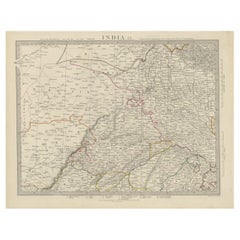
Antique Map of the Region of Berar and Rewah in India, 1832

$274.78
$343.4720% Off
£203.37
£254.2120% Off
€232VAT Included
€29020% Off
CA$380.20
CA$475.2520% Off
A$381.40
A$476.7520% Off
CHF 222.73
CHF 278.4120% Off
MX$4,643.62
MX$5,804.5320% Off
NOK 2,557.59
NOK 3,196.9920% Off
SEK 2,633.92
SEK 3,292.4020% Off
DKK 1,768.83
DKK 2,211.0320% Off

About the Item

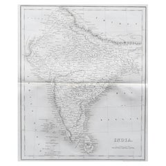
Antique map titled 'India VII'. Old steel engraved map of part of India including the Rajah of Berar, the Rajah of Rewah and British Territory. Artists and Engravers: Engraved by J. & C. Walker. Published under the superintendence of the Society for the Diffusion of Useful Knowledge. Published by Baldwin & Cradock. Condition: Very good, general age-related toning. Please study image carefully. Date: 1832 Overall size: 41 x 34.5 cm. Image size: 35 x 26 cm. We sell original antique maps to collectors, historians, educators and interior decorators all over the world. Our collection includes a wide range of authentic antique maps from the 16th to the 20th centuries. Buying and collecting antique maps is a tradition that goes back hundreds of years. Antique maps have proved a richly rewarding investment over the past decade, thanks to a growing appreciation of their unique historical appeal. Today the decorative qualities of antique maps are widely recognized by interior designers who appreciate their beauty and design flexibility. Depending on the individual map, presentation, and context, a rare or antique map can be modern, traditional, abstract, figurative, serious or whimsical. We offer a wide range of authentic antique maps for any budget.
  • Dimensions:
    Height: 13.59 in (34.5 cm)Width: 16.15 in (41 cm)Depth: 0 in (0.01 mm)
  • Materials and Techniques:
  • Period:
  • Date of Manufacture:
    1832
  • Condition:
    Condition: Very good, general age-related toning. Please study image carefully.
  • Seller Location:
    Langweer, NL
  • Reference Number:
    Seller: BG-12056-61stDibs: LU3054329622002

More From This Seller

View All
Antique Map of the Region of Delhi in India, 1833

Antique Map of the Region of Delhi in India, 1833

Located in Langweer, NL

Antique map titled 'India IX'. Old steel engraved map of the region of Delhi, with great detail. Artists and Engravers: Engraved by J. & C. Walker. Published under the superinten...

Category

Antique 19th Century Maps

Materials

Paper
Original Antique Map of Part of the Bahar Region (India), 1834

Original Antique Map of Part of the Bahar Region (India), 1834

Located in Langweer, NL

Antique map titled 'India X'. Old steel engraved map of part of the Bahar region, it also shows part of Nepal. Artists and Engravers: Engraved by J. & C. Walker. Published under th...

Category

Antique 19th Century Maps

Materials

Paper
Detailed Antique Map of the Region of Malwa in India, 1833

Detailed Antique Map of the Region of Malwa in India, 1833

Located in Langweer, NL

Antique map titled 'India VI'. Old steel engraved map of the region of Malwa showing great detail. Artists and Engravers: Engraved by J. & C. Walker. Published under the superint...

Category

Antique 19th Century Maps

Materials

Paper
Antique Map of the Region of Gujarat and Cutch in India, 1833

Antique Map of the Region of Gujarat and Cutch in India, 1833

Located in Langweer, NL

Antique map titled 'India V'. Old steel engraved map of the region of Gujarat and Cutch showing great detail. Artists and Engravers: Engraved by J. & C. Walker. Published under the...

Category

Antique 19th Century Maps

Materials

Paper
Antique Map of Northern India by Blackie & Son, 1860

Antique Map of Northern India by Blackie & Son, 1860

Located in Langweer, NL

Antique map titled 'India'. Old map depicting northern India. This map originates from 'The Comprehensive Atlas & Geography of the World, Compiled and Engraved from the most Authenti...

Category

Antique 19th Century Maps

Materials

Paper
Interesting Detailed Antique Map of Eastern India, 1832

Interesting Detailed Antique Map of Eastern India, 1832

Located in Langweer, NL

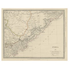
Antique map titled 'India IV'. Old steel engraved map of the eastern part of India, including the Bay of Bengal, Hydrabad and Masulipatam. Artists and...

Category

Antique 19th Century British Maps

Materials

Paper

You May Also Like

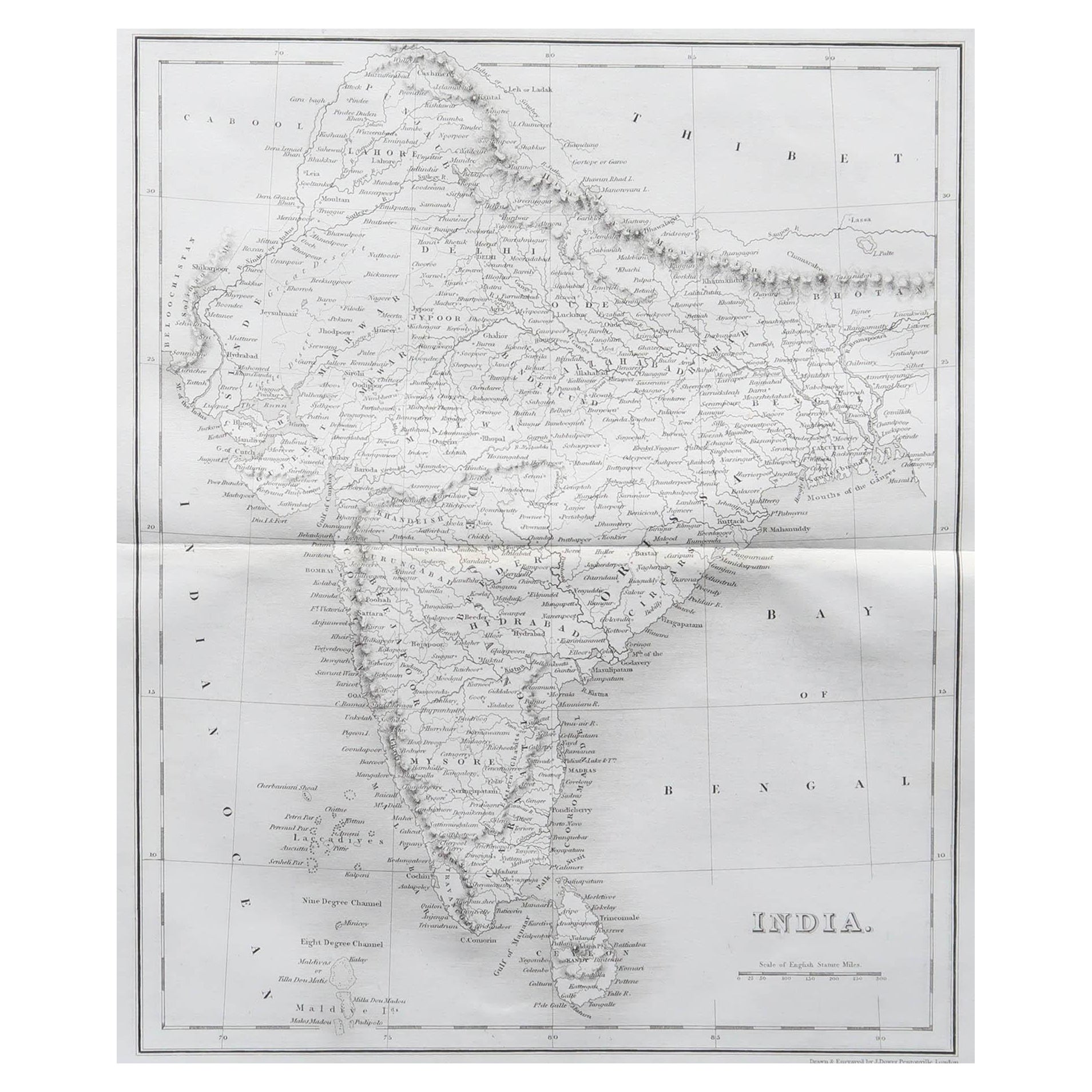
Original Antique Map of India by Dower, circa 1835

Original Antique Map of India by Dower, circa 1835

Located in St Annes, Lancashire

Nice map of India Drawn and engraved by J.Dower Published by Orr & Smith. C.1835 Unframed. Free shipping

Category

Antique 1830s English Maps

Materials

Paper

Large Original Vintage Map of India, circa 1920

Large Original Vintage Map of India, circa 1920

Located in St Annes, Lancashire

Great map of India Original color. Good condition / repair to some minor damage just above Sri Lanka. Shown in the last image. Published by Alexander Gross Unframed.

Category

Vintage 1920s English Maps

Materials

Paper

Large Original Antique Map of Afghanistan. Edward Weller, 1861

Large Original Antique Map of Afghanistan. Edward Weller, 1861

Located in St Annes, Lancashire

Great map of Afghanistan Lithograph engraving by Edward Weller Original colour Published, 1861 Unframed Good condition    

Category

Antique 1860s English Victorian Maps

Materials

Paper

Ancient National Atlas of France Print, Engraved, Early 19th Century

Ancient National Atlas of France Print, Engraved, Early 19th Century

Located in Alessandria, Piemonte

Ancient National Atlas of France with the department of Marengo: a rare French etching dated 1806. ST/178.

Category

Antique Early 19th Century French Other Prints

Materials

Paper

Large Original Antique Map of Morocco. Edward Weller, 1861

Large Original Antique Map of Morocco. Edward Weller, 1861

Located in St Annes, Lancashire

Great map of Morocco Lithograph engraving by Edward Weller Original colour Published, 1861 Unframed Good condition.    

Category

Antique 1860s English Victorian Maps

Materials

Paper