Want more images or videos?
Request additional images or videos from the seller
1 of 6

Antique Map of the Region of Pasuruan, Java, Indonesia, 1726

$177.17
£131.21
€150VAT Included
CA$246.55
A$248.12
CHF 144.01
MX$3,013.10
NOK 1,654.20
SEK 1,707.45
DKK 1,143.72

About the Item

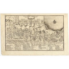
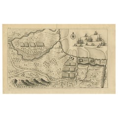
"Map of the region around Pasuruan. It shows the location of rice fields, the village Bangil, as well as three places named Pagger (also Pagar), a cluster of buildings surrounded by a bamboo fence. The location of a earthen wall with pallisade and small cannons (Bas) is also given. This print originates from 'Oud en Nieuw Oost-Indiën' by F. Valentijn. Artists and Engravers: François Valentijn (1666-1727), a missionary, worked at Amboina from 1684 to 1694 and 1705 to 1713 and travelled extensively in the VOC's lands. Condition: Good, given age. Two tiny holes lower right in the margin and paper erosion right top, reinforced using contemporary paper backed with acid free archival tape. General age-related toning and/or occasional minor defects from handling. Please study image carefully. Date: 1726 Overall size: 33.2 x 20.6 cm. Image size: 29.9 x 18.4 cm. We sell original antique maps to collectors, historians, educators and interior decorators all over the world. Our collection includes a wide range of authentic antique maps from the 16th to the 20th centuries. Buying and collecting antique maps is a tradition that goes back hundreds of years. Antique maps have proved a richly rewarding investment over the past decade, thanks to a growing appreciation of their unique historical appeal. Today the decorative qualities of antique maps are widely recognized by interior designers who appreciate their beauty and design flexibility. Depending on the individual map, presentation, and context, a rare or antique map can be modern, traditional, abstract, figurative, serious or whimsical. We offer a wide range of authentic antique maps for any budget.
  • Dimensions:
    Height: 8.12 in (20.6 cm)Width: 13.08 in (33.2 cm)Depth: 0 in (0.01 mm)
  • Materials and Techniques:
  • Period:
  • Date of Manufacture:
    1726
  • Condition:
    Condition: Good, given age. Two tiny holes lower right in the margin and paper erosion right top, reinforced using contemporary paper backed with acid free archival tape. General age-related toning and/or occasional minor defects from handling.
  • Seller Location:
    Langweer, NL
  • Reference Number:
    Seller: PCT-511591stDibs: LU3054327911582

More From This Seller

View All
Antique Print of the Region around Pasuruan Indonesia by Valentijn, 1726

Antique Print of the Region around Pasuruan Indonesia by Valentijn, 1726

Located in Langweer, NL

Antique print of the region around Pasuruan near Surabaya, Indonesia. It shows the location of rice fields, the village Bangil, as well as three places named Pagger (also Pagar), a cluster of buildings surrounded by a bamboo fence. The location of a earthen wall with pallisade and small cannons...

Category

Antique Mid-18th Century Dutch Prints

Materials

Paper
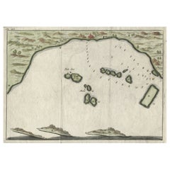
Antique Map of Banten Bay, Java, Indonesia, c.1725

Antique Map of Banten Bay, Java, Indonesia, c.1725

Located in Langweer, NL

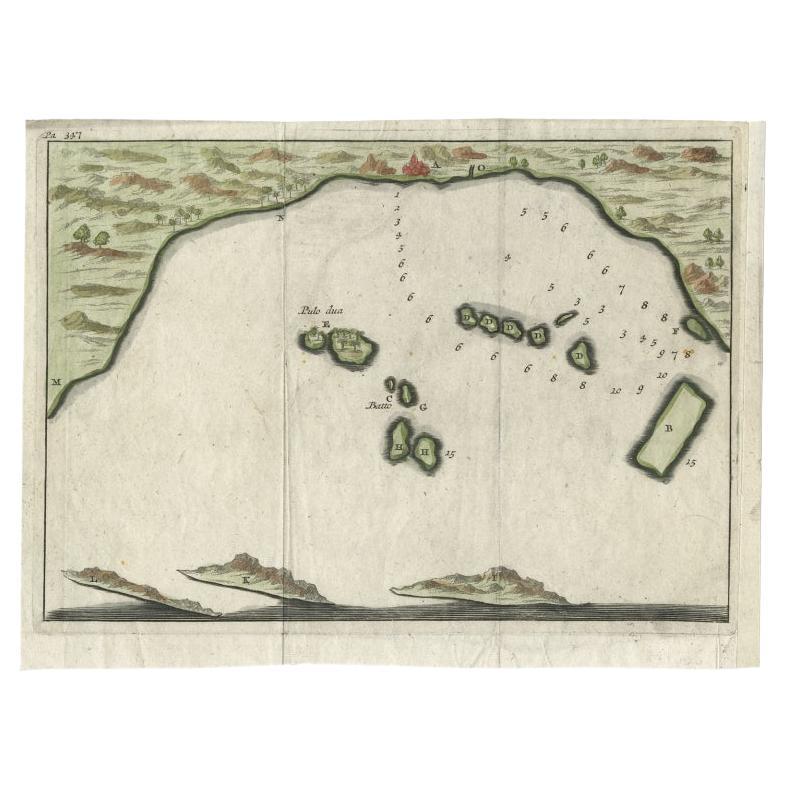
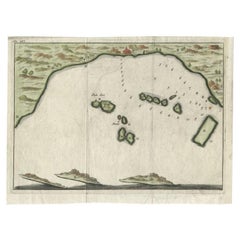
A small early 18th century map of Banten Bay showing the islands of Pulo Dua and Pulo Batto together with soundings within the Bay and profiles of hills on the islands published by C...

Category

Antique 18th Century Maps

Materials

Paper

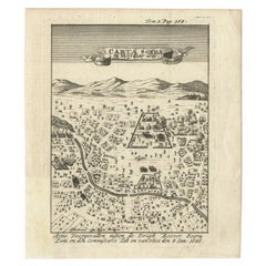
Antique Map of Carta Soura, Headquarter of the Javanese Nobility, 1706

Antique Map of Carta Soura, Headquarter of the Javanese Nobility, 1706

Located in Langweer, NL

Antique map titled 'Carta Soera de Nigrita'. Early map of the town of Carta Soura, also known as Kartosuro and Karta Soera de Nigrat, located in the interior of central Java, headqua...

Category

Antique 18th Century Maps

Materials

Paper

Small Early 18th Century Map of Banten Bay on the Island Java, Indonesia, c.1725

Small Early 18th Century Map of Banten Bay on the Island Java, Indonesia, c.1725

Located in Langweer, NL

A small early 18th century map of Banten Bay showing the islands of Pulo Dua and Pulo Batto together with soundings within the Bay and profiles of hills on the islands published by C...

Category

Antique 1720s Maps

Materials

Paper

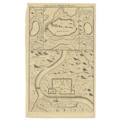
Antique Map of the Cities of the Province of Hu-Quang by Basire, 1738

Antique Map of the Cities of the Province of Hu-Quang by Basire, 1738

Located in Langweer, NL

Antique print titled 'Cities of the Province of Hu-Quang'. Old map depicting four walled cities of the Chinese Qing dynasty province of Hu-Quang (modern day HUNAN and part of surroun...

Category

Antique 18th Century Maps

Materials

Paper

You May Also Like

1657 Janssonius Map of Vermandois and Cappelle, Ric. A-004

1657 Janssonius Map of Vermandois and Cappelle, Ric. A-004

Located in Norton, MA

1657 Janssonius map of Vermandois and Cappelle Ric.a004 Description: Antique map of France titled 'Descriptio Veromanduorum - Gouvernement de la Cappelle'. Two detailed maps o...

Category

Antique 17th Century Unknown Maps

Materials

Paper

1633 Map "La Souverainete De Sedan Et De Raucourt, Et La Prevoste Ric0011

1633 Map "La Souverainete De Sedan Et De Raucourt, Et La Prevoste Ric0011

Located in Norton, MA

1653 map entitled "La Souverainete de Sedan et de Raucourt, et la Prevoste de Doncheri," Ric0011 Description: Lovely map centered on Sedan and Doncheri and the Meuze River fr...

Category

Antique 17th Century Dutch Maps

Materials

Paper

Antique French Map of Asia Including China Indoneseia India, 1783

Antique French Map of Asia Including China Indoneseia India, 1783

Located in Amsterdam, Noord Holland

Very nice map of Asia. 1783 Dedie au Roy. Additional information: Country of Manufacturing: Europe Period: 18th century Qing (1661 - 1912) Condition: Overall Condition B (Good Used)...

Category

Antique 18th Century European Maps

Materials

Paper

Antique Voc Print Holland Malaysia Old Map Melaka History, 1663

Antique Voc Print Holland Malaysia Old Map Melaka History, 1663

Located in Amsterdam, Noord Holland

From my own collection I offer this impressive Antique print of the city of Malakka A very interesting piece for collectors . It is an museum piece from the Dutch Institute of Orien...

Category

Antique 17th Century European Paintings

Materials

Paper

1627 Hendrik Hondius Map Entitled "Vltoniae Orientalis Pars, " Ric.a009

1627 Hendrik Hondius Map Entitled "Vltoniae Orientalis Pars, " Ric.a009

Located in Norton, MA

1627 Hendrik Hondius map entitled "Vltoniae orientalis pars," Ric.a009 Title: Vltoniae orientalis : pars Title (alt.) : Ultoniae orientalis pars Creator: Mercator, Gerh...

Category

Antique 17th Century Dutch Maps

Materials

Paper