Want more images or videos?
Request additional images or videos from the seller
1 of 5

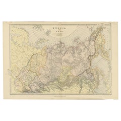
Antique Map of Russia in Asia by Kuyper, c.1880

$55.91
$69.8920% Off
£41.37
£51.7120% Off
€47.20VAT Included
€5920% Off
CA$77.39
CA$96.7420% Off
A$77.67
A$97.0920% Off
CHF 45.29
CHF 56.6120% Off
MX$944.24
MX$1,180.3020% Off
NOK 520.45
NOK 650.5620% Off
SEK 535.25
SEK 669.0720% Off
DKK 359.87
DKK 449.8420% Off

About the Item

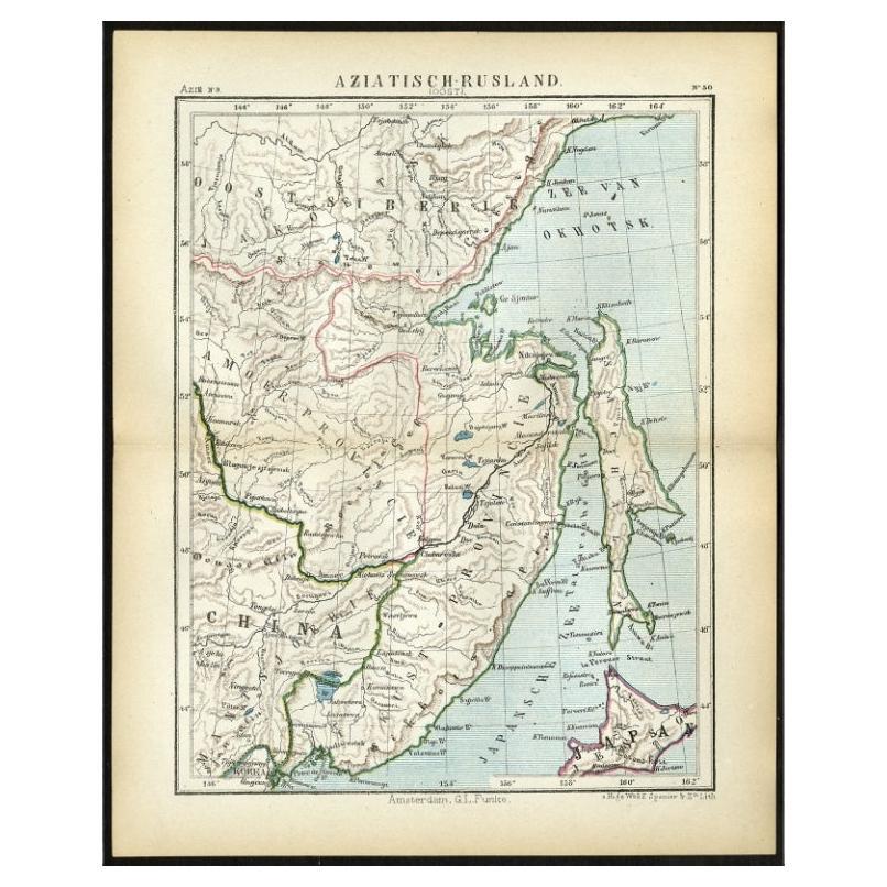
Antique map plate 48 : 'Aziatisch Rusland. Balkasj Meer en omstreken.' Original antique map of Russia in Asia, showing Lake Balkhash and surroundings. This lithographed map originates from: 'Wereld-atlas voor Kantoor en Huiskamer' (transl: World Atlas for the office and living room), by J. Kuyper, published in 1880 - 1882 in Amsterdam, The Netherlands by G. L. Funke. Artists and Engravers: Jacob Kuyper (1821 - 1908), Dutch cartographer. Artist: Jacob Kuyper (1821 - 1908), Dutch cartographer. Condition: Good, given age. Original middle fold, as issued. Minimal staining in fold. General age-related toning or occasional minor defects from handling. Please study image carefully. Date: c.1880 Overall size: 23.7 x 18.9 cm. Image size: 0.001 x 20.1 x 16.5 cm. Antique prints have long been appreciated for both their aesthetic and investment value. They were the product of engraved, etched or lithographed plates. These plates were handmade out of wood or metal, which required an incredible level of skill, patience and craftsmanship. Whether you have a house with Victorian furniture or more contemporary decor an old engraving can enhance your living space. We offer a wide range of authentic antique prints for any budget.
  • Dimensions:
    Height: 7.45 in (18.9 cm)Width: 9.34 in (23.7 cm)Depth: 0 in (0.01 mm)
  • Materials and Techniques:
  • Period:
  • Date of Manufacture:
    circa 1880
  • Condition:
  • Seller Location:
    Langweer, NL
  • Reference Number:
    Seller: PCT-256841stDibs: LU3054327617432

More From This Seller

View All
Antique Map of Eastern Russia in Asia by Kuyper, 1880

Antique Map of Eastern Russia in Asia by Kuyper, 1880

Located in Langweer, NL

Antique map titled 'Aziatisch Rusland. Oost'. Original antique map of Eastern Russia in Asia. This lithographed map originates from: 'Wereld-atlas voor ...

Category

Antique 19th Century Maps

Materials

Paper

Antique Map of Russia in Asia by Weller, c.1865

Antique Map of Russia in Asia by Weller, c.1865

Located in Langweer, NL

Antique map titled 'Russia in Asia'. Old map of Russia originating from the 'Weekly Dispatch Atlas'. Artists and Engravers: Engraved by E. Weller. Artist: Engraved by E. Weller. ...

Category

Antique 19th Century Maps

Materials

Paper

Antique Map of Russia from the Baltic to the Black Sea by Sharpe, 1849

Antique Map of Russia from the Baltic to the Black Sea by Sharpe, 1849

Located in Langweer, NL

Antique map titled 'Western Russia from the Baltic to the Euxine'. Old map of Western Russia from the Baltic to the Black Sea. This map originates from 'Sharpe's Corresponding Atlas ...

Category

Antique 19th Century Maps

Materials

Paper

Antique Map of Russia in Asia by Weller, 1882

Antique Map of Russia in Asia by Weller, 1882

Located in Langweer, NL

Antique map titled 'Russia in Asia'. Old map of Russia originating from Blackie's The Comprehensive Atlas & Geography of the World'. Artists and Engravers: Engraved by E. Weller. Pub...

Category

Antique 19th Century Maps

Materials

Paper

You May Also Like

1851 Map of "Independent Tartary", Ric. R018

1851 Map of "Independent Tartary", Ric. R018

Located in Norton, MA

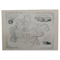
1851 Map of Independent Tartary "Russia" Ric.r018 A highly decorative 1851 map of Independent Tartary by John Tallis and John Rapkin. Covers the regions between the Caspian Sea and Lake Bakquash and between Russia and Afghanistan. These include the ancient Silk Route kingdoms of Khiva, Tartaria, Kokand, and Bokhara. Today this region roughly includes Kazakhstan, Uzbekistan, Turkmenistan, Kyrgyzstan, and Tajikistan. This wonderful map offers a wealth of detail for anyone with an interest in the Central Asian portion of the ancient Silk Road. Identifies various caravan routes, deserts, wells, and stopping points, including the cities of Bokhara and Samarkand. Three vignettes by W. Bragg decorate the map, these including an image of Tartars on a Journey, a horseback Bride Chase, and a tartar camp site. Surrounded by a vine motif border. Engraved by J. Rapkin for John Tallis's 1851 Illustrated Atlas . Tartary Antique Map...

Category

Antique 19th Century Unknown Maps
Materials

Paper

Ancient National Atlas of France Print, Engraved, Early 19th Century

Ancient National Atlas of France Print, Engraved, Early 19th Century

Located in Alessandria, Piemonte

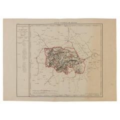
Ancient National Atlas of France with the department of Marengo: a rare French etching dated 1806. ST/178.

Category

Antique Early 19th Century French Other Prints

Materials

Paper

1839 Map of Karte Des "Russischen Reiches in Europa Und Asien" Ric.R0013

1839 Map of Karte Des "Russischen Reiches in Europa Und Asien" Ric.R0013

Located in Norton, MA

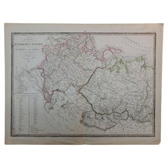
1839 map of Karte Des "Russischen Reiches in Europa and Asien" Ric.r013 Map of the European and Asian parts of Russian Empire. Karte der Russischen Reiches in Europa und Asien...

Category

Antique 19th Century Unknown Maps
Materials

Paper

Large Original Antique Map of Lombardy and Venice, Italy. John Dower, 1861

Large Original Antique Map of Lombardy and Venice, Italy. John Dower, 1861

Located in St Annes, Lancashire

Great map of Lombardy and Venice Lithograph engraving by John Dower Original colour Published, 1861 Unframed Good condition / crease to bottom left corner Free shipping    

Category

Antique 1860s English Victorian Maps

Materials

Paper

Large1852 Map "Russian Empire" Ric.r0011

Large1852 Map "Russian Empire" Ric.r0011

Located in Norton, MA

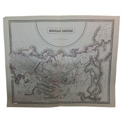
Large 1852 map "Russian Empire" George Phillips & Son 1852 Ric.r0011 Dimension: Paper: 67 cm W x 52 cm H ; Sight: 60cm W x 50 cm H Condition: Good Condition with aged t...

Category

Antique 19th Century Unknown Maps
Materials

Paper

Original Antique Map of Hungary, Arrowsmith, 1820

Original Antique Map of Hungary, Arrowsmith, 1820

Located in St Annes, Lancashire

Great map of Hungary Drawn under the direction of Arrowsmith. Copper-plate engraving. Published by Longman, Hurst, Rees, Orme and Brown, 1820 Unframed.

Category

Antique 1820s English Maps

Materials

Paper