Want more images or videos?
Request additional images or videos from the seller
1 of 15

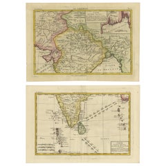
India & Bengal after Bonne – Enlightenment French Cartography, Two-Map Set, 1780

$698.78per set
£517.19per set
€590per setVAT Included
CA$966.89per set
A$969.93per set
CHF 566.43per set
MX$11,809.21per set
NOK 6,504.21per set
SEK 6,698.33per set
DKK 4,498.31per set

About the Item

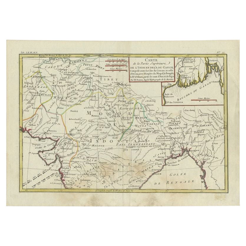
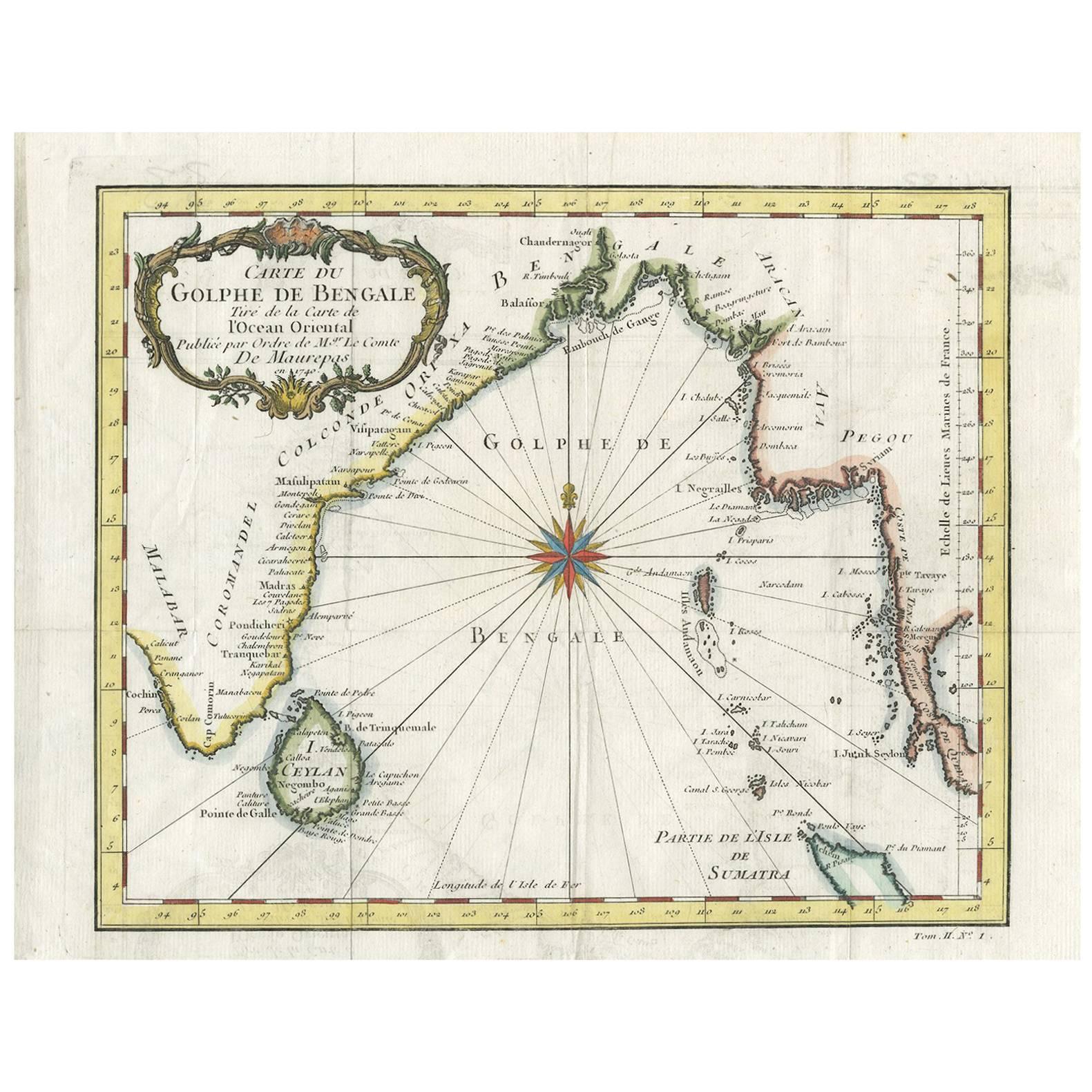
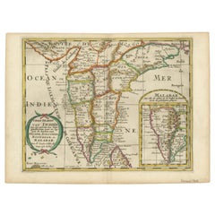
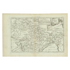
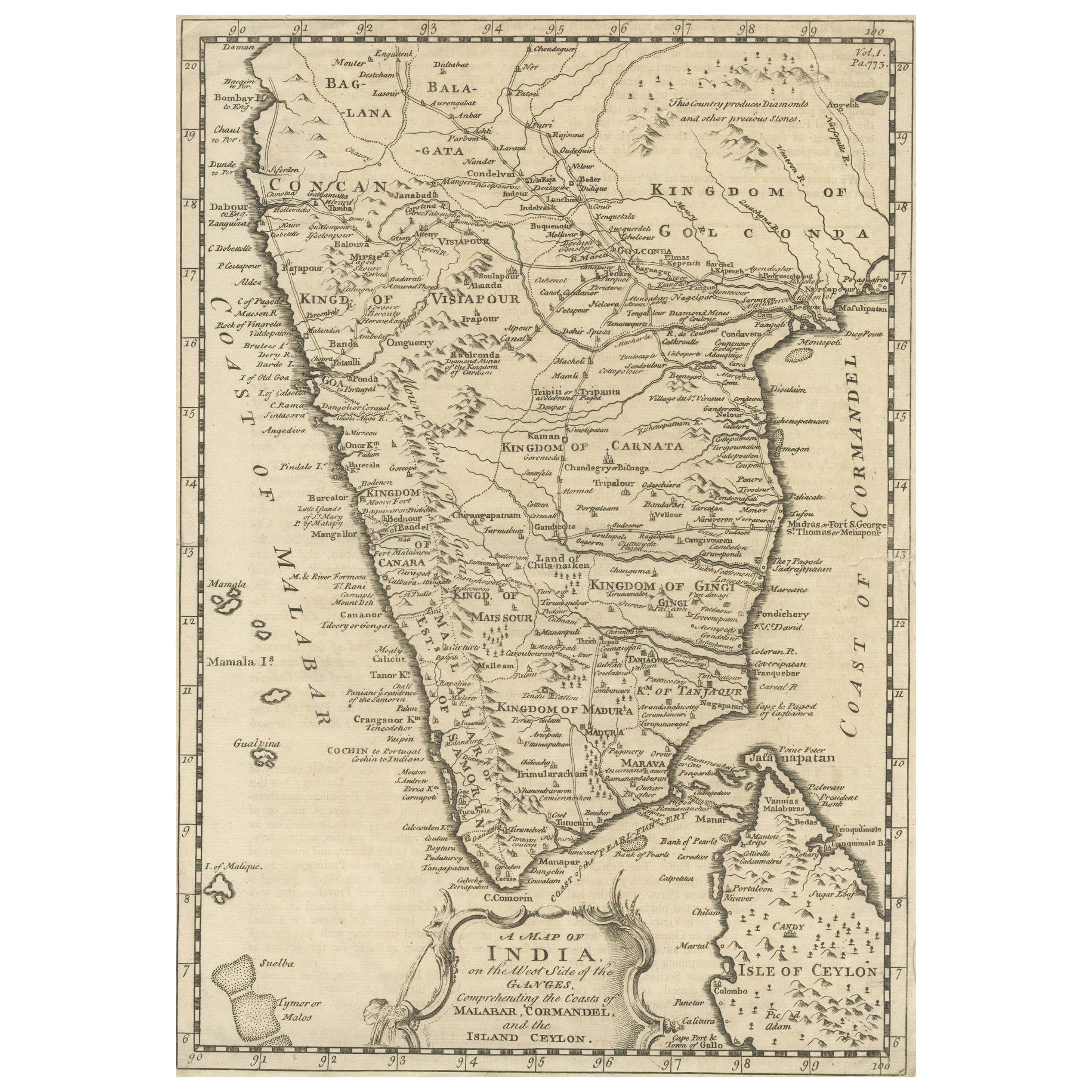
India & Bengal after Bonne – Enlightenment French Cartography, Two-Map Set c.1780 This refined two-map set depicts northern and southern India with Bengal, engraved circa 1780 by Rigobert Bonne, one of the most influential cartographers of the French Enlightenment. The pair comprises complementary regional maps, together offering a coherent late-18th-century French view of the Indian subcontinent at a moment of rapidly expanding European geographic knowledge. The maps are offered unframed, enabling custom framing to personal or interior preferences. Bonne was appointed Ingénieur-Hydrographe de la Marine and became chief cartographer at the Dépôt de la Marine, where he succeeded Jacques-Nicolas Bellin and modernized French cartography through a strict emphasis on scientific measurement, hydrographic accuracy, and the synthesis of contemporary travel accounts. His maps are admired for their rational composition, restrained engraving style, and exceptional legibility—hallmarks that distinguish them from the more decorative cartography of earlier periods. These maps illustrate the Indian interior, river systems, coastlines, and political regions with a clarity intended for practical navigation and geographic understanding rather than ornament. The Bengal sheet reflects the strategic importance of the Ganges delta and the Bay of Bengal, while the southern sheet covers the Coromandel Coast, Malabar Coast, Sri Lanka, and surrounding maritime routes. Together, they present a balanced and intellectually grounded portrait of South Asia as understood by European science in the late 18th century. Visually, the set has a calm, architectural presence: fine line engraving, generous margins, and a neutral tonal palette that works exceptionally well in contemporary interiors. Framed as a pair, these maps appeal equally to collectors of Enlightenment cartography and interior designers seeking historically significant yet understated wall pieces. Bonne replaced Bellin at the Dépôt de la Marine, marking the decisive shift from decorative to scientifically grounded French mapmaking. Condition report: Good antique condition. Light age toning and handling wear consistent with 18th-century engraved maps. Original centerfolds visible as issued. Clean impressions with strong legibility; margins ample for framing. Framing tips: Highly effective as a paired display. Recommend dark walnut or ebonized frames with generous ivory or warm off-white mats to emphasize the precision of the engraving. Museum glass suggested for a refined, contemporary finish. Technique: Copperplate engraving Maker: Rigobert Bonne, France, circa 1780 Keywords: India antique map, Bengal antique map, Ganges River map, Bay of Bengal map, Hindustan map, Mughal India map, East Indies map, French Enlightenment cartography, Rigobert Bonne map, 18th century India map, Calcutta map, Bengal Presidency map, Coromandel Coast map, Malabar Coast map, Deccan Plateau map, Carnatic map, Madras map, Pondicherry map, Sri Lanka Ceylon map, Ganges Delta map, Patna map, Benares Varanasi map, Delhi map, Agra map, Golconda map, Hyderabad map, Surat map, Bombay Mumbai map, Arabian Sea map, Indian Ocean map, French colonial cartography, scientific cartography Enlightenment, paired antique maps, decorative antique wall maps
  • Dimensions:
    Height: 10.24 in (26 cm)Width: 16.15 in (41 cm)Depth: 0.01 in (0.2 mm)
  • Sold As:
    Set of 2
  • Materials and Techniques:
    Paper,Engraved
  • Place of Origin:
  • Period:
  • Date of Manufacture:
    Circa 1780
  • Condition:
    Good antique condition. Light age toning and handling wear consistent with 18th-century engraved maps. Original centerfolds visible as issued. Clean impressions with strong legibility; margins ample for framing.
  • Seller Location:
    Langweer, NL
  • Reference Number:
    Seller: BG-14105-12 & BG-14105-131stDibs: LU3054348654852

More From This Seller

View All
18th Century Cartographic Depiction of Upper India and Ceylon, 1835

18th Century Cartographic Depiction of Upper India and Ceylon, 1835

Located in Langweer, NL

An exquisite set of two maps, 'Carte de la Partie Superieure De L'Inde en de Cadu Gange,' masterfully crafted by the renowned 18th-century French cartographer, Charles Marie Rigobert...

Category

Antique 1830s French Maps

Materials

Paper

Map of India and Ceylon with Inset of Calcutta and the Ganges, by Bonne, 1780

Map of India and Ceylon with Inset of Calcutta and the Ganges, by Bonne, 1780

Located in Langweer, NL

The map on offer is an antique copperplate engraving of India and Ceylon (Sri Lanka), created by Rigobert Bonne (1727-1794), a prominent French cartographer. Here is a breakdown of t...

Category

Antique 1780s French Maps

Materials

Paper

Charting the Course of Empire: Bonne's 1770 Masterpiece Maps of the Indian Ocean

Charting the Course of Empire: Bonne's 1770 Masterpiece Maps of the Indian Ocean

Located in Langweer, NL

A voyage through history with an exquisite collection of Rigobert Bonne's 1770 maps, as featured in the coveted Atlas Moderne circa 1770. Each map, a cartographic treasure, captures ...

Category

Antique 1770s Maps

Materials

Paper

1705 Sanson Map of Southern India and Malabar with an Inset Map

1705 Sanson Map of Southern India and Malabar with an Inset Map

Located in Langweer, NL

Title: 1705 Sanson Map of Southern India and Malabar with an Inset Map Description: This finely engraved and beautifully hand-colored antique map, published in 1705, depicts south...

Category

Antique Early 1700s Maps

Materials

Paper

Antique Map of Part of Southern Asia by Bonne, c.1780

Antique Map of Part of Southern Asia by Bonne, c.1780

Located in Langweer, NL

Antique map titled 'Carte de la Partie Superieure de l'Inde en deca du Gange. Comprise entre la Cote du Concan et celle d'Orixa, avec l'Empire du Mogol, le Bengale, le R. d'Asham, pa...

Category

Antique 18th Century Maps

Materials

Paper

Old Map of North India From Kandahar East to Burma 'Pegu' and South to Goa, 1776

Old Map of North India From Kandahar East to Burma 'Pegu' and South to Goa, 1776

Located in Langweer, NL

Description: Antique map titled 'Indes Iere Feuille'. Old map of northern India. Covers the subcontinent from Kandahar east as far as Burma (Pegu) and south to just past Goa. Names...

Category

Antique 1770s Maps

Materials

Paper

You May Also Like

Original Antique Map of India by Dower, circa 1835

Original Antique Map of India by Dower, circa 1835

Located in St Annes, Lancashire

Nice map of India Drawn and engraved by J.Dower Published by Orr & Smith. C.1835 Unframed. Free shipping

Category

Antique 1830s English Maps

Materials

Paper

Antique French Map of Asia Including China Indoneseia India, 1783

Antique French Map of Asia Including China Indoneseia India, 1783

Located in Amsterdam, Noord Holland

Very nice map of Asia. 1783 Dedie au Roy. Additional information: Country of Manufacturing: Europe Period: 18th century Qing (1661 - 1912) Condition: Overall Condition B (Good Used)...

Category

Antique 18th Century European Maps

Materials

Paper

Antique 1803 Italian Map of Asia Including China Indoneseia India

Antique 1803 Italian Map of Asia Including China Indoneseia India

Located in Amsterdam, Noord Holland

Antique 1803 Italian Map of Asia Including China Indoneseia India Very nice map of Asia. 1803. Additional information: Type: Map Country of Manufacturing: Europe Period: 19th centu...

Category

Antique 19th Century European Maps

Materials

Paper

West Coast of Africa, Guinea & Sierra Leone: An 18th Century Map by Bellin

West Coast of Africa, Guinea & Sierra Leone: An 18th Century Map by Bellin

By Jacques-Nicolas Bellin

Located in Alamo, CA

Jacques Bellin's copper-plate map entitled "Partie de la Coste de Guinee Dupuis la Riviere de Sierra Leona Jusquau Cap das Palmas", depicting the coast of Guinea and Sierra Leone in ...

Category

Antique Mid-18th Century French Maps

Materials

Paper

Antique Map of Monaco by Bruno Santini, French, 1779, Collectible Art

Antique Map of Monaco by Bruno Santini, French, 1779, Collectible Art

By Bruno Santini

Located in Alessandria, Piemonte

ST/609 - Interesting antique color map of Monaco Principality in French language : "Carte qui contient le Principauté de Piémont, le Monferrat et la comté de...

Category

Antique Late 18th Century Italian Other Maps

Materials

Paper

Original Antique Map of The World by Thomas Clerk, 1817

Original Antique Map of The World by Thomas Clerk, 1817

Located in St Annes, Lancashire

Great map of The Eastern and Western Hemispheres On 2 sheets Copper-plate engraving Drawn and engraved by Thomas Clerk, Edinburgh. Published by Mackenzie And Dent, 1817 ...

Category

Antique 1810s English Maps

Materials

Paper