Want more images or videos?
Request additional images or videos from the seller
1 of 6

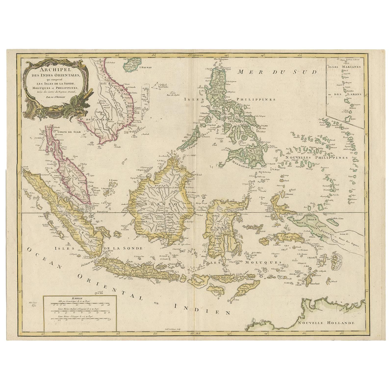
Large Chart of the island and sea of Java, Indonesia

$2,379.59
$2,974.4920% Off
£1,744.95
£2,181.1920% Off
€2,000VAT Included
€2,50020% Off
CA$3,297.94
CA$4,122.4320% Off
A$3,313.21
A$4,141.5120% Off
CHF 1,911.09
CHF 2,388.8620% Off
MX$40,320.12
MX$50,400.1420% Off
NOK 22,199.98
NOK 27,749.9720% Off
SEK 22,519.48
SEK 28,149.3420% Off
DKK 15,250.19
DKK 19,062.7420% Off

About the Item

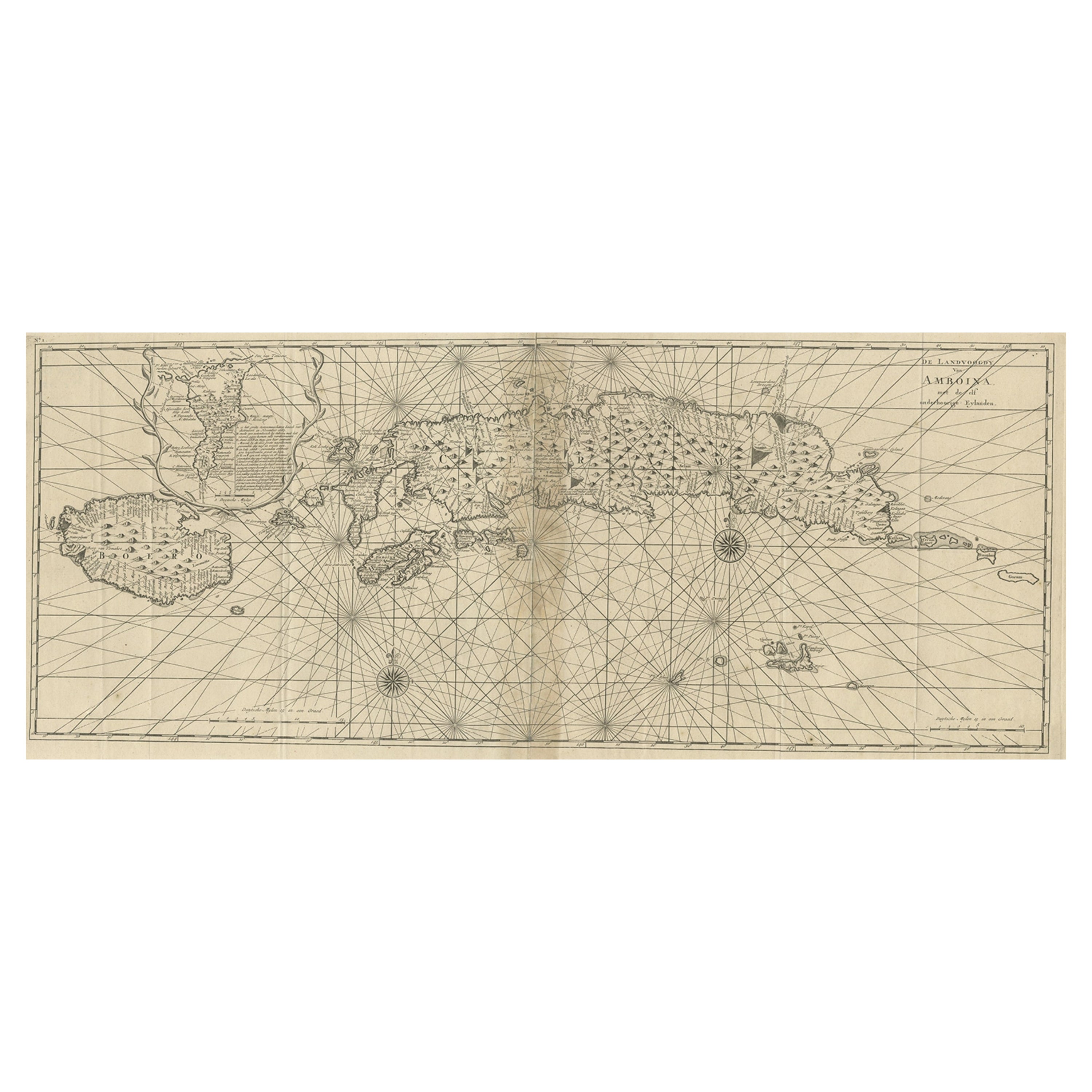
Antique map titled 'Carte Esférica de la Isla Y Mar de Java'. Large chart of the island and sea of Java, Indonesia. Beautiful nautical chart, published 1863 in Spain.
  • Dimensions:
    Height: 27.25 in (69.2 cm)Width: 40.56 in (103 cm)Depth: 0.02 in (0.5 mm)
  • Materials and Techniques:
  • Period:
  • Date of Manufacture:
    1863
  • Condition:
    Wear consistent with age and use. General age-related toning. Few small weak spots. Stamp near title. Blank verso. Please study image carefully.
  • Seller Location:
    Langweer, NL
  • Reference Number:
    Seller: BG-13369-21stDibs: LU3054331885432

More From This Seller

View All
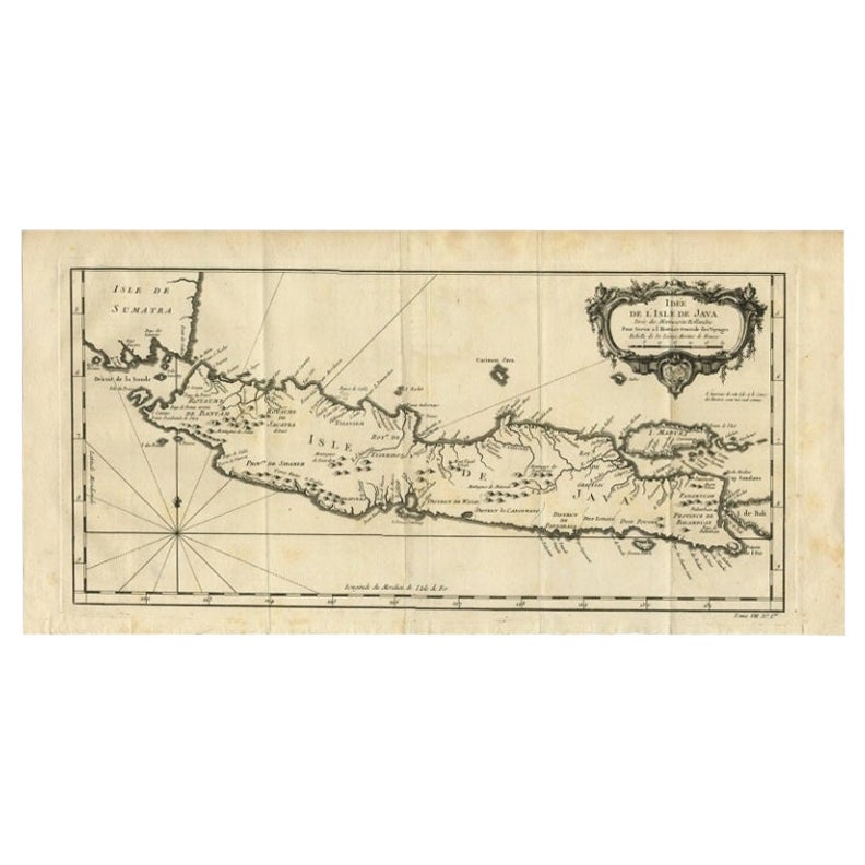
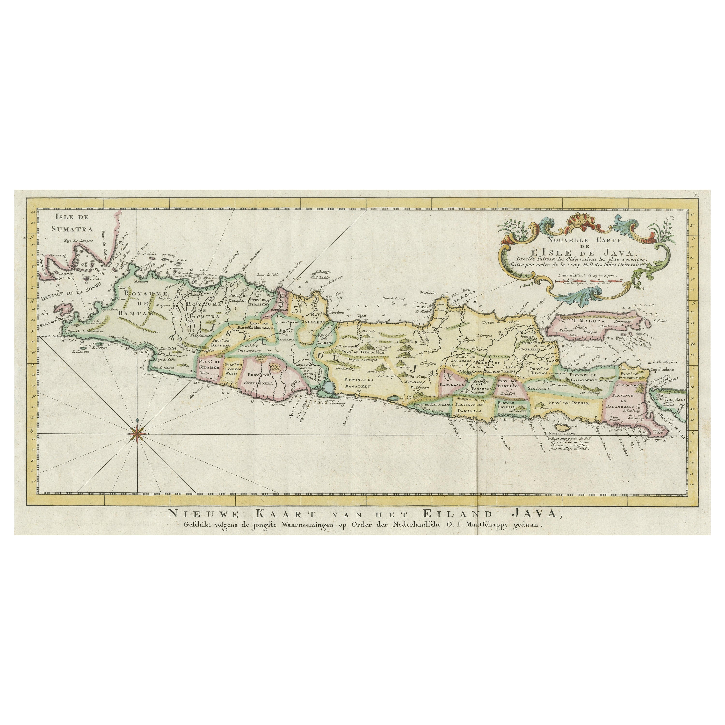
Antique Map of the Island of Java, Indonesia

Antique Map of the Island of Java, Indonesia

Located in Langweer, NL

Antique map titled 'Nouvelle Carte de l'Isle de Java (..) - Nieuwe Kaart van het Eiland Java (..)'. Chart of the island of Java, depicting soundings around the coast, all principal h...

Category

Antique Late 18th Century Maps

Materials

Paper

Old Original Antique Map of the Islands of East Indonesia, 1756

Old Original Antique Map of the Islands of East Indonesia, 1756

Located in Langweer, NL

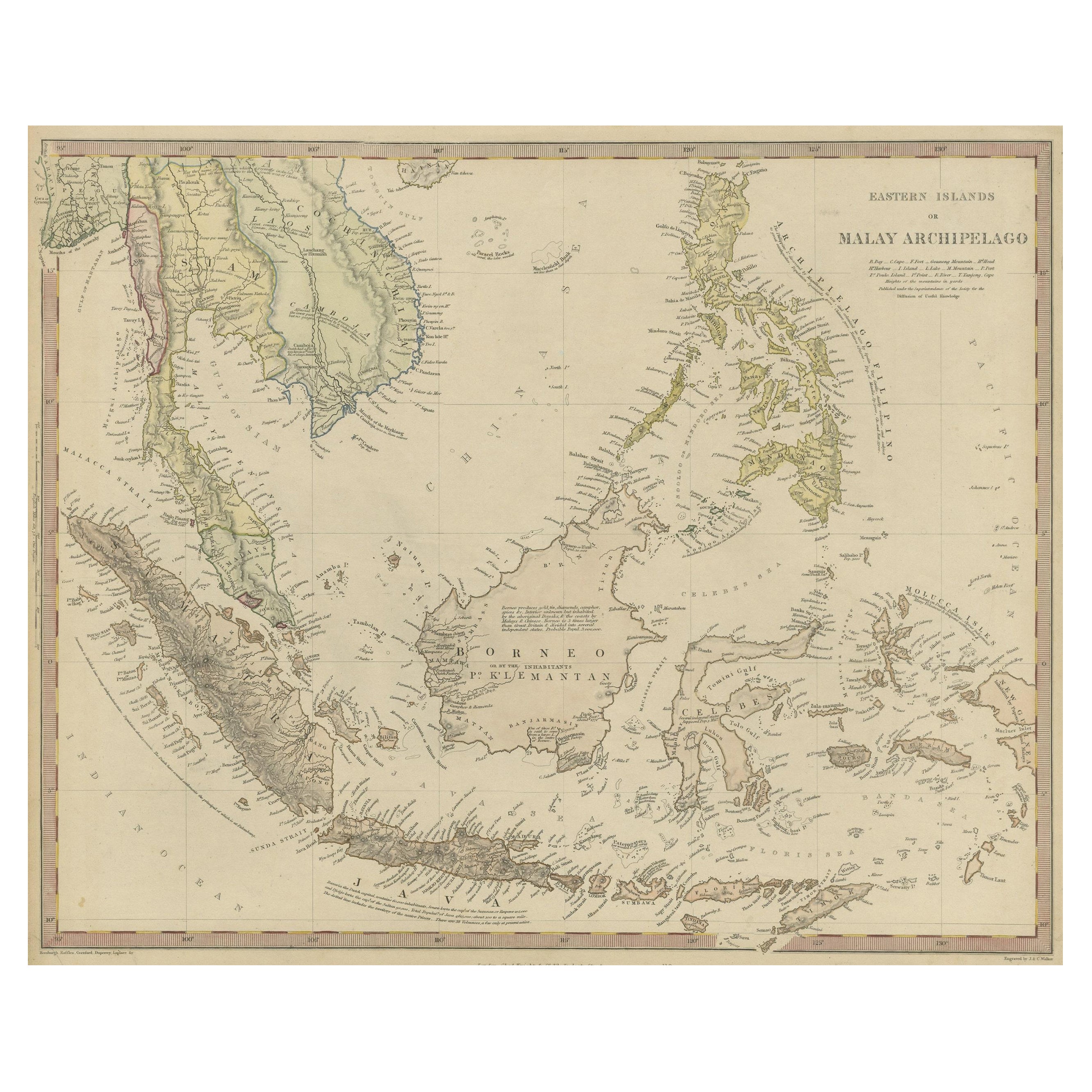
Title: Isles Moluques. Old and rare, this decorative map of the Maluku Islands in the period it was still controlled by the Dutch colonial power. It also shows the island of Bali, Lombok, part of Borneo (Kalimantan), Celebes (Sulawesi), Timor, The Lesser Sunda Islands, West Papua...

Category

Antique 1750s Maps

Materials

Paper

Scarce Antique Map of the Island of Java, Indonesia

Scarce Antique Map of the Island of Java, Indonesia

Located in Langweer, NL

Title: "Kaart van 't Eyland Groot Java: Antique Map of Java, Indonesia" Description: This antique map, titled "Kaart van 't Eyland Groot Java," offers a rare and valuable depiction ...

Category

Antique Late 18th Century Maps

Materials

Paper

Antique Map of the Region of Bengkulu in Indonesia, 1900

Antique Map of the Region of Bengkulu in Indonesia, 1900

Located in Langweer, NL

Antique map of the region of Benkulu, Sumatra. Also depicting Enggano Island. This map originates from 'Atlas van Nederlandsch Oost- en West-Indië' by I. Dornseiffen. Artists and E...

Category

20th Century Maps

Materials

Paper

Antique Map extending from the Spice Islands to the west of Papua New Guinea

Antique Map extending from the Spice Islands to the west of Papua New Guinea

Located in Langweer, NL

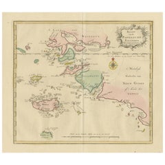
Antique map titled 'Kaart van de Papoasche Eilanden'. Beautiful original old map extending from the Spice Islands (Sallawatty, Patenta, Gammen, Land van Waigeeuw, Popo, Misool, and part of Seram) to the western end of Papua New Guinea. Many smaller islands are detailed, and depth soundings are shown near Seram and to the east of Misool. This map originates from 'Nieuwe en Beknopte Hand-Atlas, bestaande in eene Verzameling van eenige der algemeenste en nodigste Landkaarten' by I. Tirion. Published circa 1770. Tirion was born in Utrecht in 1705. He moved to Amsterdam in 1725 and set up shop on Damrak as a book publisher. Tirion quick rose in prominence by publishing pamphlets, historical works, and, most importantly...

Category

Antique Late 18th Century Maps
Materials

Paper

Old Antique Map of the Sumbawa, Flores, Timor in the Banda Region of Indonesia

Old Antique Map of the Sumbawa, Flores, Timor in the Banda Region of Indonesia

By F. Valentijn

Located in Langweer, NL

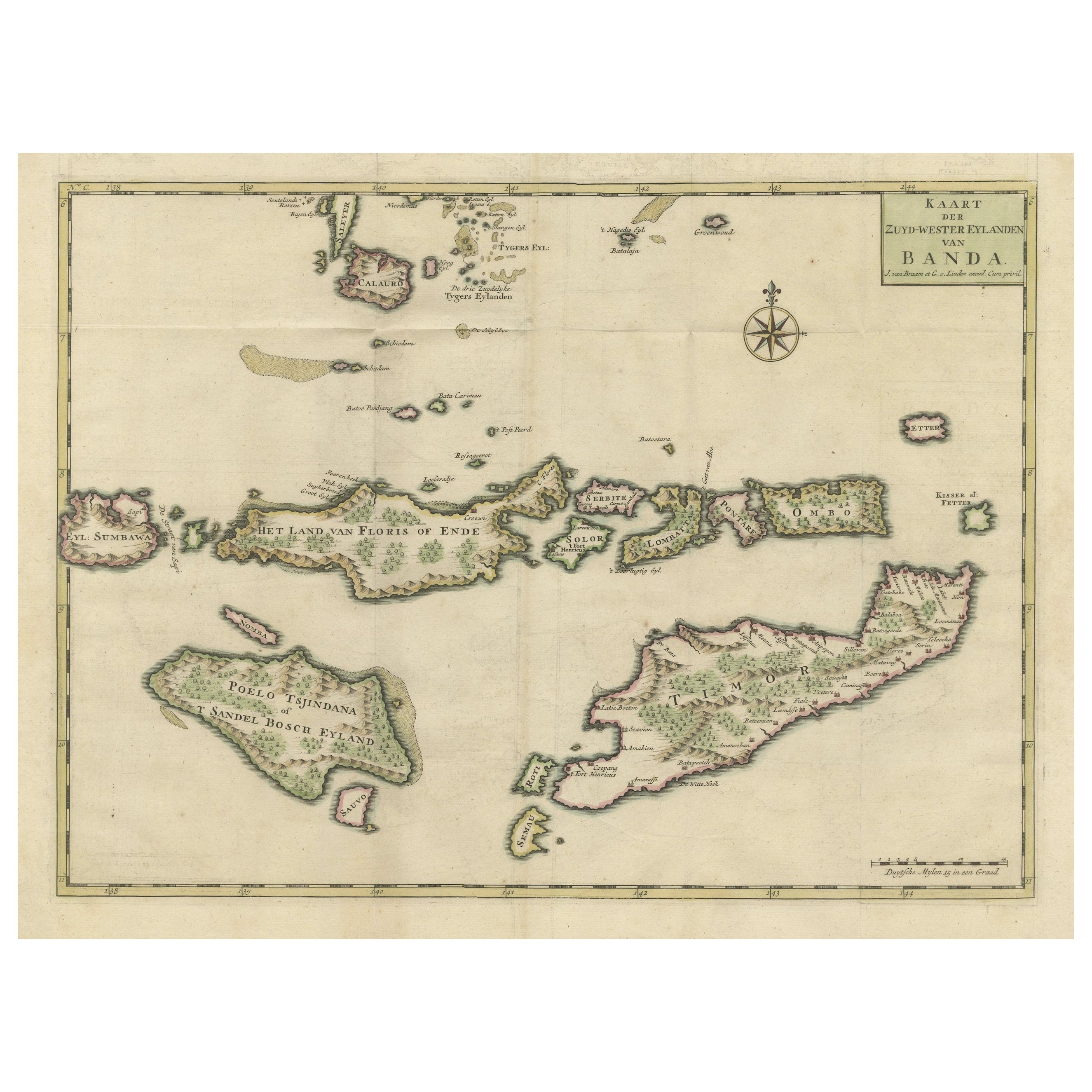
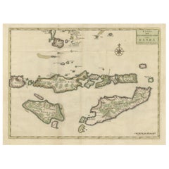
Original antique map titled 'Kaart der Zuyd-Wester Eylanden van Banda'. A fascinating map of the islands in the southwestern part of the Banda Sea including Sumba, Flores and Timor. Published 1724-1726 by Joannes van Braam...

Category

Antique Early 18th Century Maps

Materials

Paper

You May Also Like

19th Century Nautical Chart of Martinique

19th Century Nautical Chart of Martinique

Located in Norwell, MA

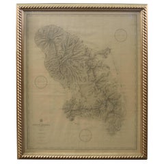
Original map of Martinique from 1887 with chartered waters around the island. Prepared from a French survey, completed in 1825, showing town, ports, rivers and tributaries. Published...

Category

Antique 19th Century Nautical Objects

Northwest Coast and Isle of Man Map

Northwest Coast and Isle of Man Map

Located in Cheshire, GB

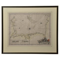
Greenville Collins Northwest Coast and Isle of Man. hand coloured chart, encased in an ebonised frame. Dimensions Height 26.5 Inches Width 30 Inches Depth 1 Inches

Category

Early 20th Century British Maps

Materials

Paper

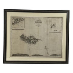
1865 Chart of the Islands of Madeira

1865 Chart of the Islands of Madeira

Located in Norwell, MA

Rare James Imray chart from 1865 titled "Chart of the Islands of Madeira, Porto Santo and Dezerea" drawn from the survey made by Captain Ate Vidal Royal Navy, London. Published by Ja...

Category

Antique 1860s European Maps

Materials

Paper

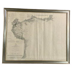
1898 Chart of Boston Bay

1898 Chart of Boston Bay

Located in Norwell, MA

Original 1898 chart showing Massachusetts Bay with the coast from Cape Ann to Cape Cod. This is a U.S. Navy Geodetic survey chart. All towns are noted along the coast. Framed with gl...

Category

Antique 1890s Nautical Objects

Materials

Paper

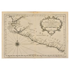
West Coast of Africa, Guinea & Sierra Leone: An 18th Century Map by Bellin

West Coast of Africa, Guinea & Sierra Leone: An 18th Century Map by Bellin

By Jacques-Nicolas Bellin

Located in Alamo, CA

Jacques Bellin's copper-plate map entitled "Partie de la Coste de Guinee Dupuis la Riviere de Sierra Leona Jusquau Cap das Palmas", depicting the coast of Guinea and Sierra Leone in ...

Category

Antique Mid-18th Century French Maps

Materials

Paper