Want more images or videos?
Request additional images or videos from the seller
1 of 5

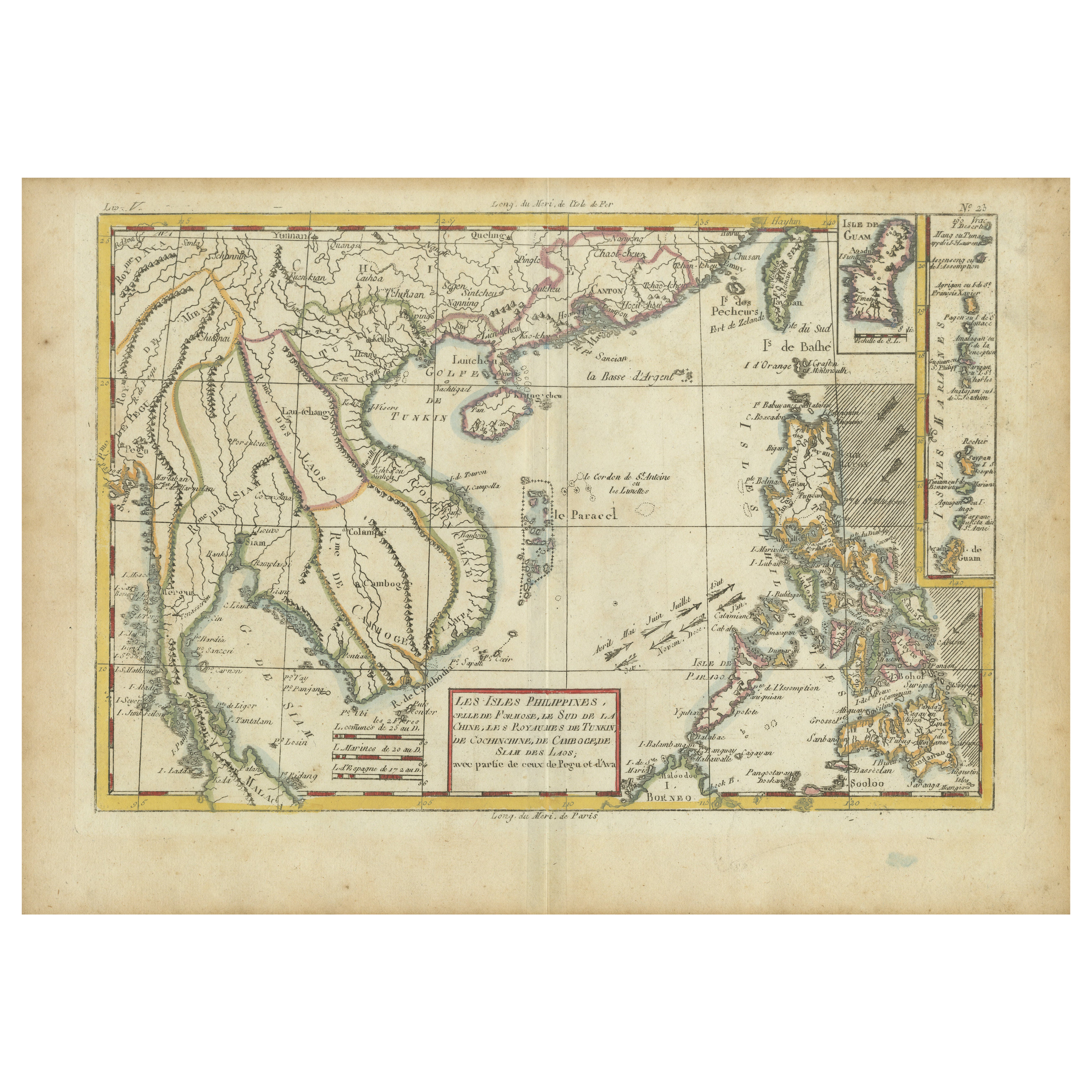
Map of the Vietnamese Coast, Centered on Turon Harbor 'Da Nang Area', 1796

$635.45
$791.3720% Off
£469.68
£586.0920% Off
€536VAT Included
€67020% Off
CA$876.45
CA$1,101.2520% Off
A$881.58
A$1,108.2820% Off
CHF 513.67
CHF 643.2420% Off
MX$10,740.72
MX$13,458.5020% Off
NOK 5,907.54
NOK 7,388.7620% Off
SEK 6,059.95
SEK 7,626.6220% Off
DKK 4,086.37
DKK 5,108.6120% Off

About the Item

Antique map titled 'A chart of part of the coast of Cochin-China including Turon Harbour and the Island Callao'. Detailed map of the Vietnamese Coast, centered on Turon Harbor (Da Nang area). With a view of Turon Bay. Artists and Engravers: Published by G. Nicol, 1796.
  • Dimensions:
    Height: 22.45 in (57 cm)Width: 16.54 in (42 cm)Depth: 0 in (0.02 mm)
  • Materials and Techniques:
  • Period:
    1790-1799
  • Date of Manufacture:
    1796
  • Condition:
    Wear consistent with age and use. Condition: Very good, general age-related toning and minor staining. Please study image carefully.
  • Seller Location:
    Langweer, NL
  • Reference Number:
    Seller: BG-006801stDibs: LU3054327422262

More From This Seller

View All
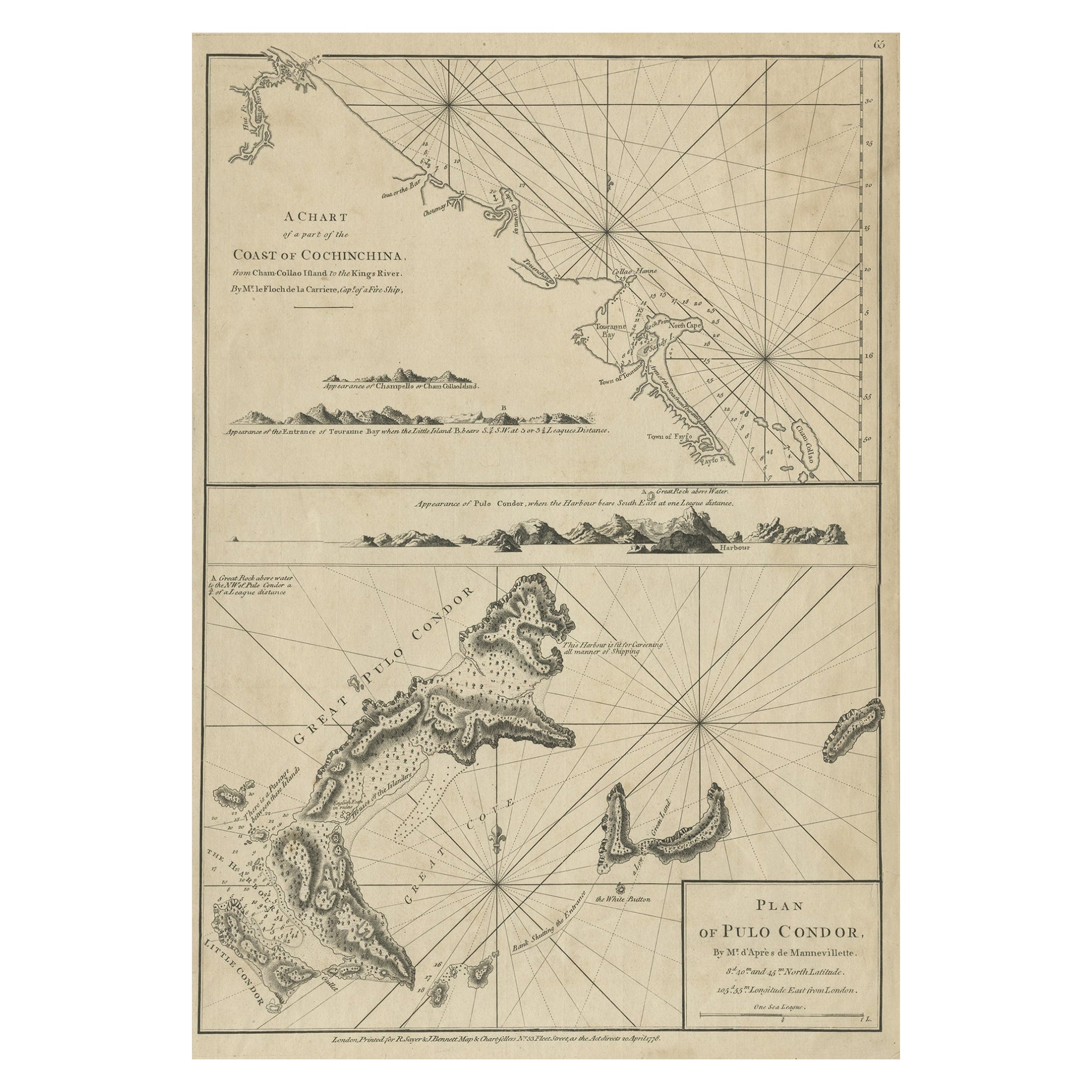
Chart of the Coast of Cochinchina' and 'Plan of Pulo Condor', Vietnam, 1778

Chart of the Coast of Cochinchina' and 'Plan of Pulo Condor', Vietnam, 1778

Located in Langweer, NL

Antique map titled 'A Chart of a part of the Coast of Cochinchina' and 'Plan of Pulo Condor'. Two maps on one sheet. The upper map shows part of the coast of Cochinchina from Cha...

Category

Antique 1770s Maps

Materials

Paper

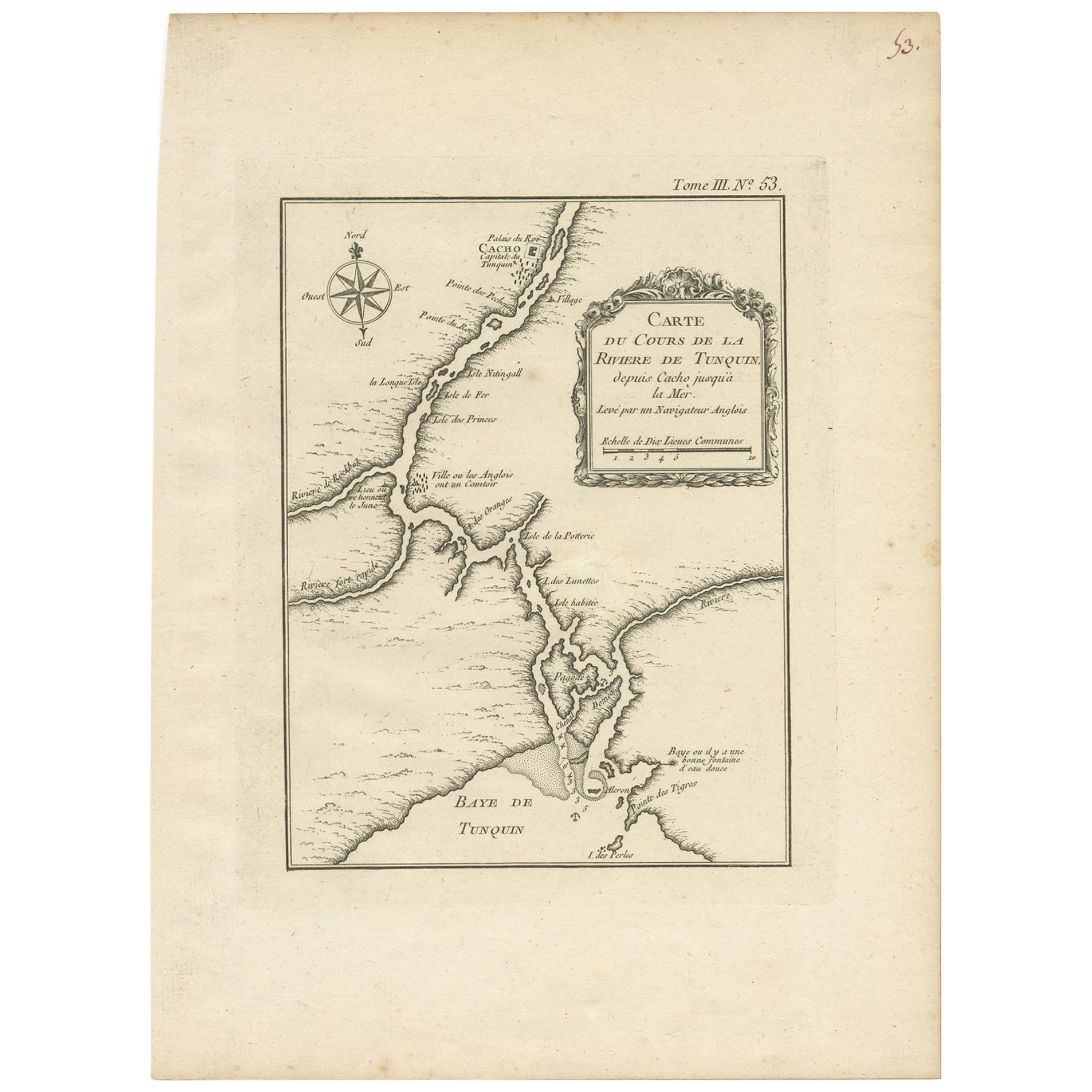
Antique Map of the Tonkin River ‘Vietnam’ by J.N. Bellin, 1764

Antique Map of the Tonkin River ‘Vietnam’ by J.N. Bellin, 1764

Located in Langweer, NL

One of the maps produced by Bellin for Prevost d'Exiles' influential travel book, ‘L'Histoire Generale des Voyages’. This map depicts part of Southeast Asia, most likely northern Vie...

Category

Antique Mid-18th Century Maps

Materials

Paper

Antique Map of Part of the Chinese Coast, Explored by the French, Ca.1852

Antique Map of Part of the Chinese Coast, Explored by the French, Ca.1852

Located in Langweer, NL

Antique map titled 'Plan du Golfe D'Anville (Côte de Tartarie)'. Old map of part of the Chinese coast, explored with the French corvette 'Caprieuse'. The Capricieuse was a late 2...

Category

Antique 1850s Maps

Materials

Paper

Antique Map of Macao and Surroundings by Captain Cook, 1803

Antique Map of Macao and Surroundings by Captain Cook, 1803

Located in Langweer, NL

Antique map Macao titled 'Schets van Typa of van Macao'. Map of Macao and surrounding islands. Originates from 'Reizen Rondom de Waereld door James Cook (..)'. Artists and Engravers:...

Category

Antique 19th Century Maps

Materials

Paper

Detailed Map of the Madura Strait, between Java & Madura Island, Indonesia, 1825

Detailed Map of the Madura Strait, between Java & Madura Island, Indonesia, 1825

Located in Langweer, NL

Antique map titled 'Plan du Détroit de Madura'. Detailed map of the Madura Strait in Indonesia. The eastern part of the island Java with the city of Gresik and the western part o...

Category

Antique 1820s Maps

Materials

Paper

You May Also Like

Antique French Map of Asia Including China Indoneseia India, 1783

Antique French Map of Asia Including China Indoneseia India, 1783

Located in Amsterdam, Noord Holland

Very nice map of Asia. 1783 Dedie au Roy. Additional information: Country of Manufacturing: Europe Period: 18th century Qing (1661 - 1912) Condition: Overall Condition B (Good Used)...

Category

Antique 18th Century European Maps

Materials

Paper

West Coast of Africa, Guinea & Sierra Leone: An 18th Century Map by Bellin

West Coast of Africa, Guinea & Sierra Leone: An 18th Century Map by Bellin

By Jacques-Nicolas Bellin

Located in Alamo, CA

Jacques Bellin's copper-plate map entitled "Partie de la Coste de Guinee Dupuis la Riviere de Sierra Leona Jusquau Cap das Palmas", depicting the coast of Guinea and Sierra Leone in ...

Category

Antique Mid-18th Century French Maps

Materials

Paper

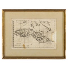
Map Of The Island Of Cuba - Guillaume Thomas Raynal (1711-1796)

Map Of The Island Of Cuba - Guillaume Thomas Raynal (1711-1796)

Located in Porto, PT

This historical map of the Island of Cuba was produced in the late 18th century and is taken from an edition of “Atlas de toutes les parties connues du globe terrestre” by the French...

Category

Antique 18th Century Prints

Materials

Glass, Paper

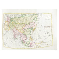
Antique 1803 Italian Map of Asia Including China Indoneseia India

Antique 1803 Italian Map of Asia Including China Indoneseia India

Located in Amsterdam, Noord Holland

Antique 1803 Italian Map of Asia Including China Indoneseia India Very nice map of Asia. 1803. Additional information: Type: Map Country of Manufacturing: Europe Period: 19th centu...

Category

Antique 19th Century European Maps

Materials

Paper

1814 Map of "Russian Empire" Ric.r032

1814 Map of "Russian Empire" Ric.r032

Located in Norton, MA

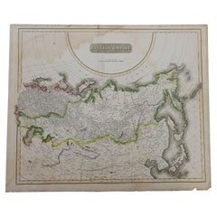
1814 Map of "Russian Empire" Ric.r032 Russian Empire. Description: This is an 1814 John Thomson map of the Russian Empire. The map depicts the region from the Baltic Sea, Prussia, and Sweden to the Aleutian Islands and from the Arctic Ocean to the Yellow River. Highly detailed, myriad cities, towns, and villages are labeled throughout, including St. Petersburg, Moscow, Minsk, Kiev, and Kharkov. Rivers and mountain ranges are also identified, as are islands and numerous locations along the coastlines. It is important to note that the long-disputed sea between Korea and Japan is identified as the 'Sea of Japan. Historical Context: In 1815, Tsarist Russia emerged from the Napoleonic Wars economically insolvent and politically fearful of the Revolutionary fervor that had just swept through Europe. In order to shore up Russia's economic position, the Tsars began an aggressive series of expansions into the Caucuses and Central Asia that would vastly increase the landmass of the Russian Empire. Publication History Thomson maps are known for their stunning color, awe inspiring size, and magnificent detail. Thomson's work, including this map, represents some of the finest cartographic art...

Category

Antique 19th Century Unknown Maps
Materials

Paper

California, Alaska and Mexico: 18th Century Hand-Colored Map by de Vaugondy

California, Alaska and Mexico: 18th Century Hand-Colored Map by de Vaugondy

By Didier Robert de Vaugondy

Located in Alamo, CA

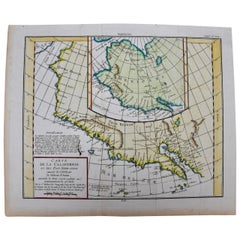
This is an 18th century hand-colored map of the western portions of North America entitled "Carte de la Californie et des Pays Nord-Ouest separés de l'Asie par le détroit d'Anian, ex...

Category

Antique 1770s French Maps

Materials

Paper