Want more images or videos?
Request additional images or videos from the seller
1 of 10

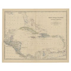
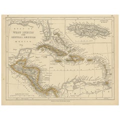
Map of the West India Islands and Central America – Colorful 1903 Engraving

$402.77
£297.98
€340VAT Included
CA$557.46
A$559.49
CHF 326.25
MX$6,801.72
NOK 3,748.97
SEK 3,855.63
DKK 2,592.29

About the Item

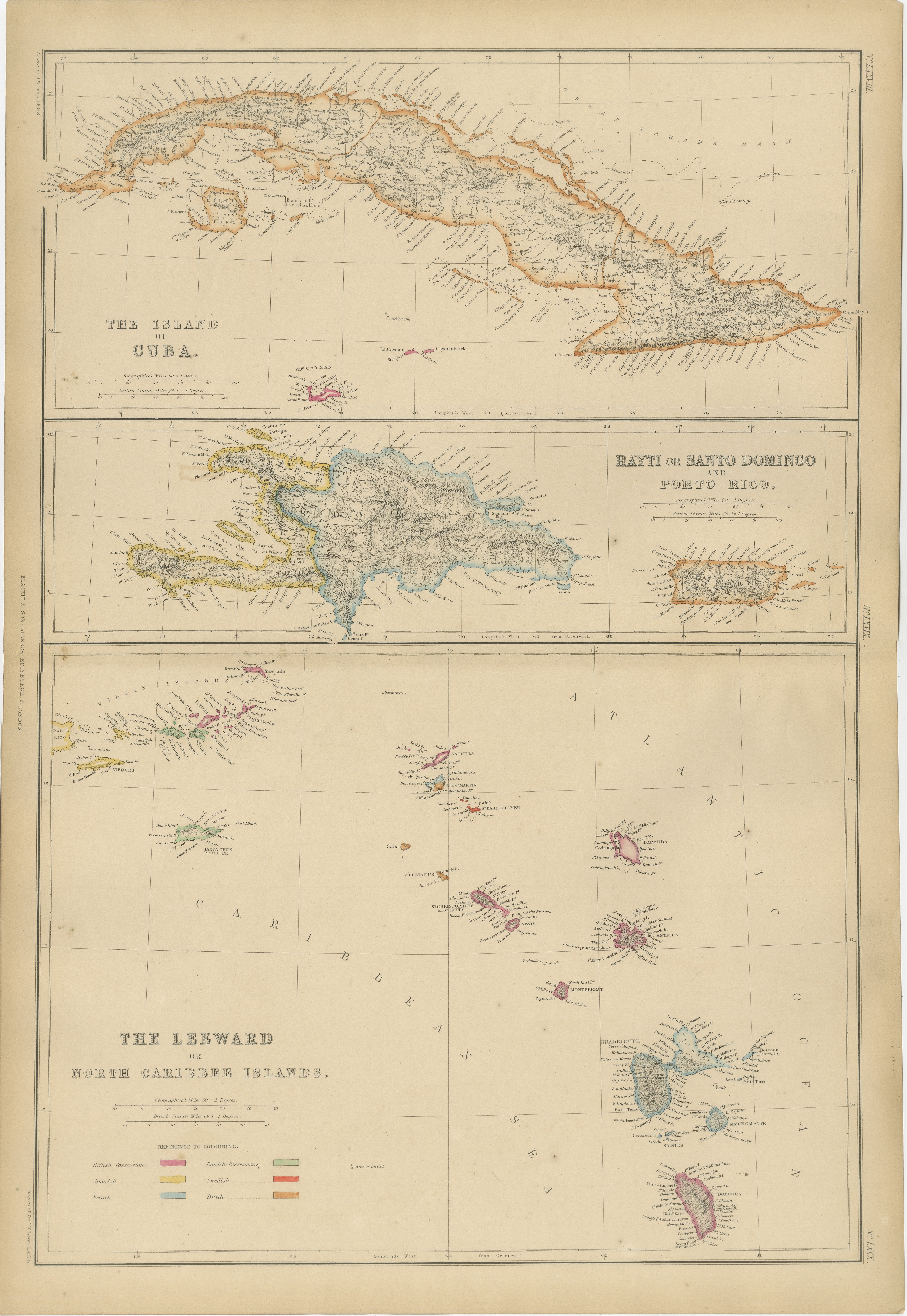
Map of the West India Islands and Central America – Colorful 1903 Engraving This vibrant engraved map, titled "West India Islands and Central America," was created by Keith Johnston, F.R.G.S., and published by W. & A.K. Johnston, Limited, Edinburgh & London, in 1903. The map offers a detailed depiction of the Caribbean region and Central America at the dawn of the 20th century, skillfully blending geographic accuracy with artistic charm. The map captures the entire Caribbean basin, stretching from the southern tip of Florida to the shores of South America. It includes the major islands of Cuba, Hispaniola, Jamaica, Puerto Rico, the Bahamas, the Lesser Antilles, and parts of Central America like the Yucatán Peninsula, Honduras, Nicaragua, Costa Rica, and Panama. Intricately engraved lines represent the coastlines, rivers, and mountain ranges, while soft pastel color washes highlight the different political regions, adding clarity and elegance to the visual composition. An essential feature is the precise labeling of key cities, settlements, and natural landmarks, reflecting the colonial influences and strategic importance of these islands. The map also delineates ocean currents, islands, and smaller cays that were crucial for trade, navigation, and exploration in this era. This piece stands out not only for its visual appeal but also for its historical significance, marking a time of shifting colonial powers and growing global trade across the Atlantic and Pacific Oceans. T The condition of this antique map is excellent, with vibrant color retention, clear typography, and minimal wear along the edges. For framing, a dark wood or sleek black frame with a neutral mat would elegantly complement the delicate engravings and vibrant colors, making this map a striking addition to a study, library, or coastal home. It’s a compelling artifact of exploration and trade routes that shaped the modern Caribbean and Central America, offering a rich narrative for collectors, historians, or anyone fascinated by the region’s dynamic history.
  • Dimensions:
    Height: 18.51 in (47 cm)Width: 14.49 in (36.8 cm)Depth: 0.01 in (0.2 mm)
  • Materials and Techniques:
  • Period:
  • Date of Manufacture:
    1903
  • Condition:
    The condition of this antique map is excellent, with vibrant color retention, clear typography, and minimal wear along the edges.
  • Seller Location:
    Langweer, NL
  • Reference Number:
    Seller: BG-13577-491stDibs: LU3054345292032

More From This Seller

View All
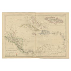
Antique Map of Central America and the West Indies, 1882

Antique Map of Central America and the West Indies, 1882

Located in Langweer, NL

Antique map titled 'West India Islands and Central America'. Old map of Central America and the West Indies. This map originates from 'The Royal Atlas of Modern Geography, Exhibiting...

Category

Antique 19th Century Maps

Materials

Paper

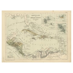
Antique Map of the Antilles and Central America – 1872

Antique Map of the Antilles and Central America – 1872

Located in Langweer, NL

Title: Antique Map of the Antilles and Central America – 1872 Description: This finely detailed antique map, titled Antilles et Amérique Centrale, was published in 1872 under t...

Category

Antique 1870s Maps

Materials

Paper

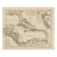
Antique Map of the Caribbean & Central America – West Indies, 1857

Antique Map of the Caribbean & Central America – West Indies, 1857

Located in Langweer, NL

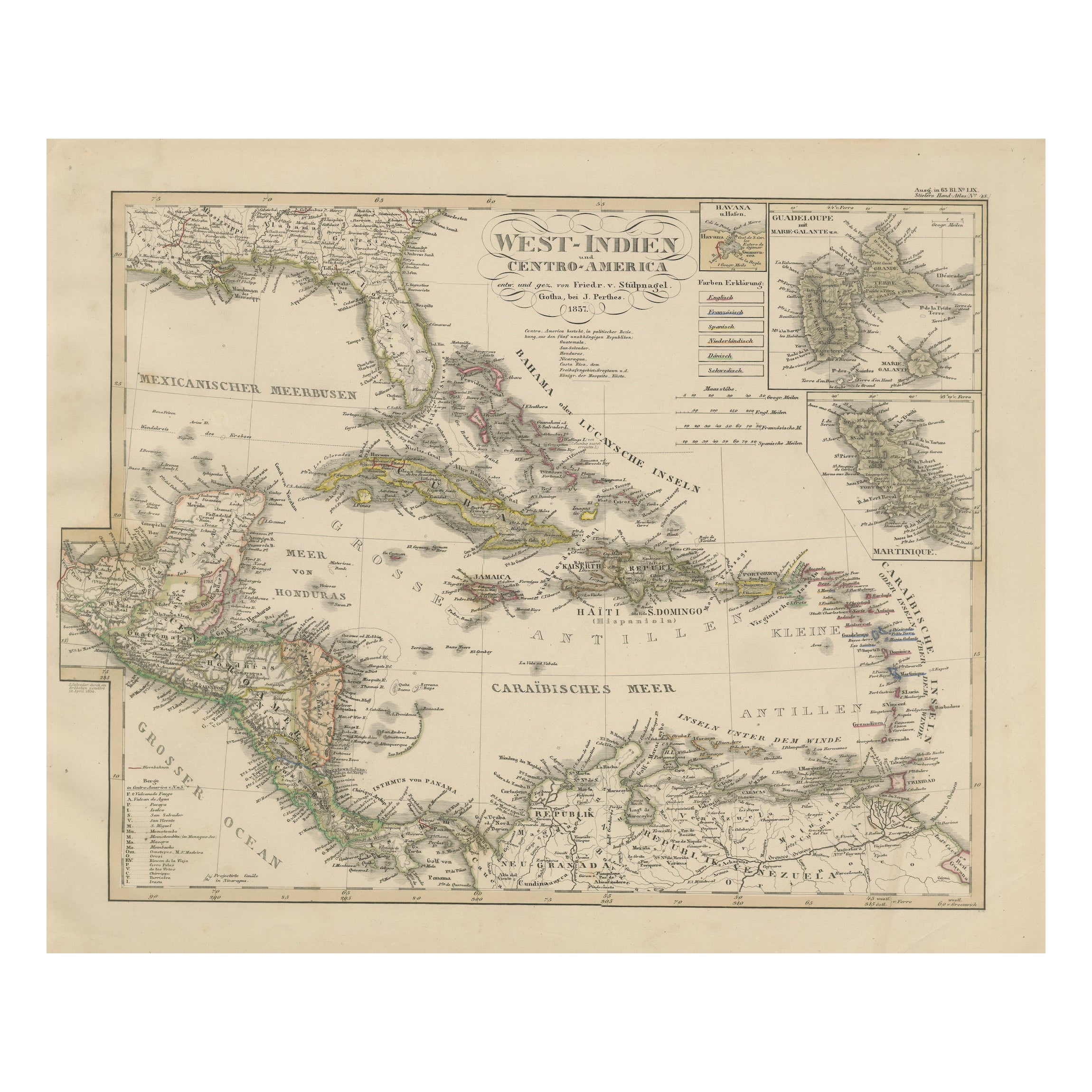
Antique Map of the Caribbean & Central America – West Indies, 1857 This finely engraved and hand-colored map titled "West-Indien und Centro-America" was published in 1857 by Justus ...

Category

Antique Mid-19th Century German Maps

Materials

Paper

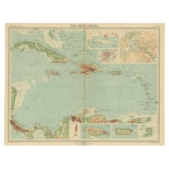
Antique Map of the West Indies in Full Color, 1922

Antique Map of the West Indies in Full Color, 1922

Located in Langweer, NL

Antique map titled 'The West Indies.' A map of the West Indies, the Carribean region. This includes the Greater Antilles (Jamaica, Haiti, Puerto Rico and Cuba) and the Lesser Antille...

Category

20th Century British Maps

Materials

Paper

Antique Map of the West Indies and Central America by Lowry '1852'

Antique Map of the West Indies and Central America by Lowry '1852'

Located in Langweer, NL

Antique map titled 'West Indies and Central America'. Original map of the West Indies and Central America. This map originates from 'Lowry's Table Atlas constructed and engraved from...

Category

Antique Mid-19th Century Maps

Materials

Paper

You May Also Like

Large Original Antique Map of The Leeward Islands. 1894

Large Original Antique Map of The Leeward Islands. 1894

Located in St Annes, Lancashire

Superb Antique map of The Leeward Islands Published Edward Stanford, Charing Cross, London 1894 Original colour Good condition Unframed. Free shipping

Category

Antique 1890s English Maps

Materials

Paper

Original Antique Map of Central America / Florida, Arrowsmith, 1820

Original Antique Map of Central America / Florida, Arrowsmith, 1820

Located in St Annes, Lancashire

Great map of Central America. Drawn under the direction of Arrowsmith. Copper-plate engraving. Published by Longman, Hurst, Rees, Orme and Brown, 1820 Unframed.

Category

Antique 1820s English Maps

Materials

Paper

Early 19th Century Hand Colored Map of the United States and Caribbean Islands

Early 19th Century Hand Colored Map of the United States and Caribbean Islands

Located in Hamilton, Ontario

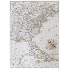
Hand coloured early 19th century map by Giraldon of France titled "Etats Unis et Grandes Antilles" (United States and Greater Antilles).

Category

Antique Early 19th Century French Maps

Materials

Paper

Central America. Century Atlas antique vintage map

Central America. Century Atlas antique vintage map

Located in Melbourne, Victoria

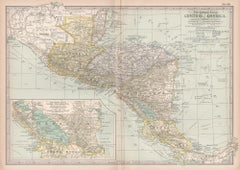
'The Century Atlas. Central America.' Original antique map, 1903. Inset maps of 'The Country around Lake Nicaragua'. Central fold as issued. Map name and number printed on the reve...

Category

Early 20th Century Victorian More Prints

Materials

Lithograph

Large Original Antique Map of The Canary Islands. 1894

Large Original Antique Map of The Canary Islands. 1894

Located in St Annes, Lancashire

Superb Antique map of The Canary Islands Published Edward Stanford, Charing Cross, London 1894 Original colour Good condition Unframed. Free shipping

Category

Antique 1890s English Maps

Materials

Paper