Want more images or videos?
Request additional images or videos from the seller
1 of 6

Original Antique Engraving of a Sea Chart of the Western Mediterranean, ca.1650

$1,480.48
£1,095.75
€1,250VAT Included
CA$2,048.49
A$2,054.94
CHF 1,200.06
MX$25,019.50
NOK 13,780.11
SEK 14,191.37
DKK 9,530.32

About the Item

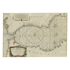
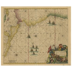
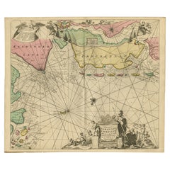
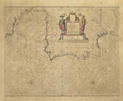
Antique map titled 'Pascaerte van 't westlyckste deel vande Middelandsche-Zee (..)'. Sea chart of the Western Mediterranean. The map extends from the Straits of Gibralter to Italy and Sicily and the Coast of Dalmatia. Originates from 'Atlantis Majoris'. Artists and Engravers: Johannes Janssonius (Jansson) was born in Arnhem, the son of Jan Janszoon the Elder,a publisher and bookseller. In 1612 he married Elisabeth de Hondt, the daughter of Jodocus Hondius. He produced his first maps in 1616 of France and Italy. In 1623 Janssonius owned a bookstore in Frankfurt am Main, later also in Danzig, Stockholm, Copenhagen, Berlin, Königsberg, Geneva and Lyon. In the 1630s he formed a partnership with his brother in law Henricus Hondius, and together they published atlases as Mercator/Hondius/Janssonius. Under the leadership of Janssonius the Hondius Atlas was steadily enlarged. Renamed Atlas Novus, it had three volumes in 1638, one fully dedicated to Italy. 1646 a fourth volume came out with ""English County Maps"", a year after a similar issue by Willem Blaeu. Janssonius' maps are similar to those of Blaeu, and he is often accused of copying from his rival, but many of his maps predate those of Blaeu and/or covered different regions. By 1660, at which point the atlas bore the appropriate name ""Atlas Major"", there were 11 volumes, containing the work of about a hundred credited authors and engravers. It included a description of ""most of the cities of the world"" (Townatlas), of the waterworld (Atlas Maritimus in 33 maps), and of the Ancient World (60 maps). The eleventh volume was the Atlas of the Heavens by Andreas Cellarius. Editions were printed in Dutch, Latin, French, and a few times in German.
  • Dimensions:
    Height: 18.71 in (47.5 cm)Width: 22.64 in (57.5 cm)Depth: 0 in (0.02 mm)
  • Materials and Techniques:
  • Period:
    1650-1659
  • Date of Manufacture:
    circa 1650
  • Condition:
    Wear consistent with age and use. Condition: Very good, general age-related toning. Original/contemporary hand coloring, Latin text on verso. Please study image carefully.
  • Seller Location:
    Langweer, NL
  • Reference Number:
    Seller: BGI-000981stDibs: LU3054326680112

More From This Seller

View All
Large Decorative Antique Map of the Mediterranean, ca.1770

Large Decorative Antique Map of the Mediterranean, ca.1770

Located in Langweer, NL

Antique map titled 'Carte de la Mer Mediterranee en Douze Feuilles'. First map out of twelve fine engraved double-page and folding maps that join to create a large wall map...

Category

Antique 1770s Maps

Materials

Paper

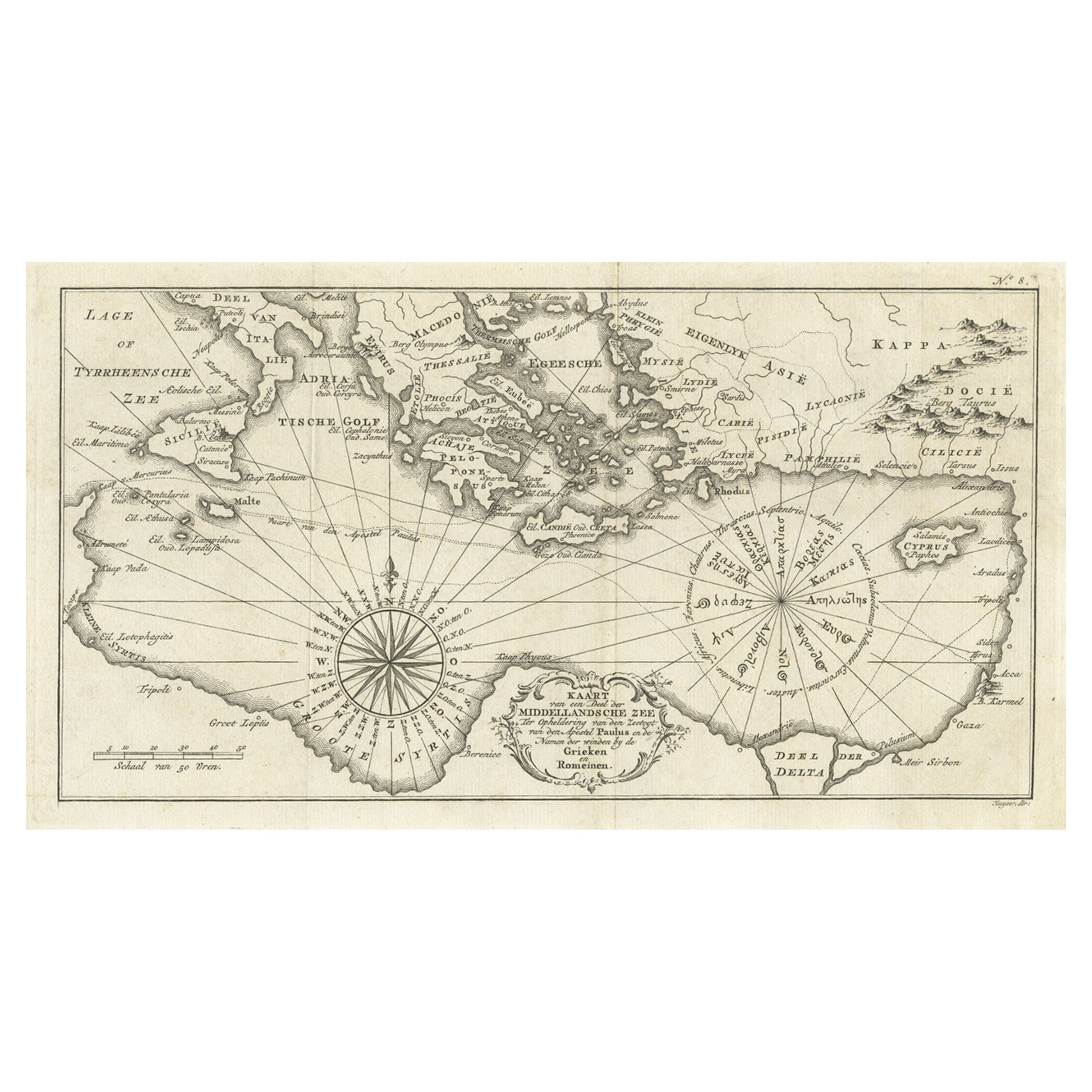
Old Dutch Map of the Region Around the Mediterranean Sea, 1773

Old Dutch Map of the Region Around the Mediterranean Sea, 1773

Located in Langweer, NL

Antique map titled 'Kaart van een Deel der Middelandsche Zee (..)'. Old map of the region around the Mediterranean Sea. Originates from the first Dutch editon of an interesting t...

Category

Antique 1770s Maps

Materials

Paper

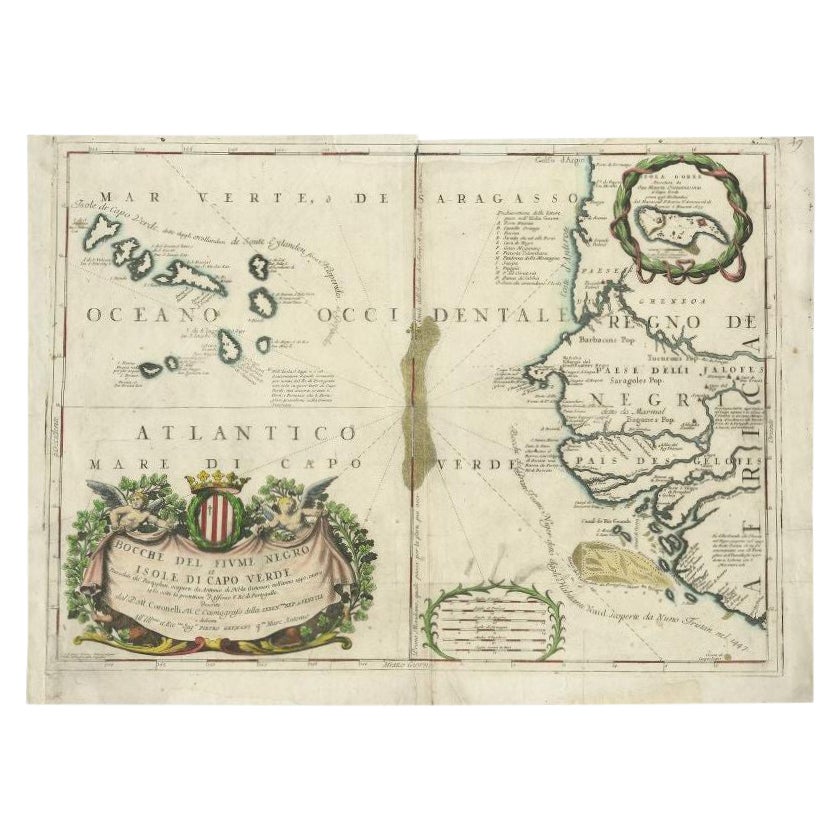
Orginal Antique Sea Chart of the Western Coast of Africa, circa 1697

Orginal Antique Sea Chart of the Western Coast of Africa, circa 1697

Located in Langweer, NL

Antique map titled 'Nieuwe Paskaert van de Kust van Genehoa (..)'. This attractive sea chart covers the western coast of Africa from Cape Blanco (Ras Nouadhibou) to Cape Verde (Dakar...

Category

Antique Late 17th Century Dutch Maps

Materials

Paper

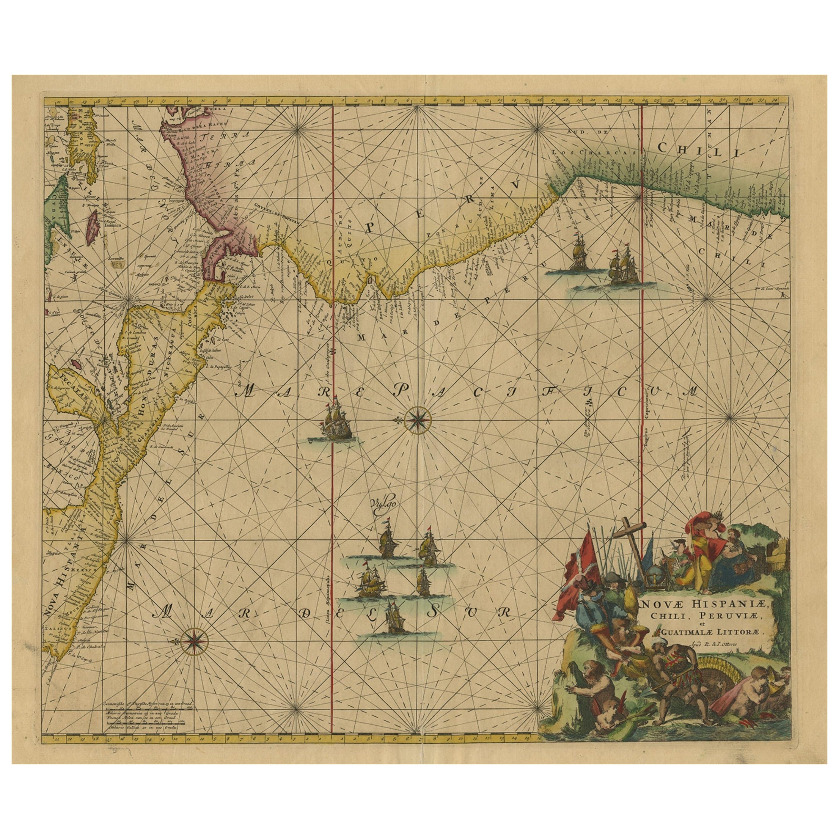
Sea Chart of Central America and the Northwest Coast of South America, ca.1745

Sea Chart of Central America and the Northwest Coast of South America, ca.1745

Located in Langweer, NL

Antique map titled 'Novae Hispaniae, Chili, Peruviae et Guatamala Littorae.' Sea chart of Central America and the northwest coast of South America, oriented to the east, by Reinier & Joshua Ottens (after Frederick de Wit - 1675) in 1745 ('Atlas van de Zeevaart'). The map shows all or parts of the coasts of Peru, Chili, Honduras, Costa Rica and Mexico as well as the western Caribbean and the Galapagos...

Category

Antique 1740s Dutch Maps

Materials

Paper

Rare Sea Chart of the East Frisian Islands or Watten and the North Sea, c.1700

Rare Sea Chart of the East Frisian Islands or Watten and the North Sea, c.1700

Located in Langweer, NL

Description: Antique map titled 'Paskaarte van de rievier de Elve streckende van Oldenbroek tot Hamburgh.' Rare and interesting chart of the East Frisian Islands (or Watten) and th...

Category

Antique Early 1700s Dutch Maps

Materials

Paper

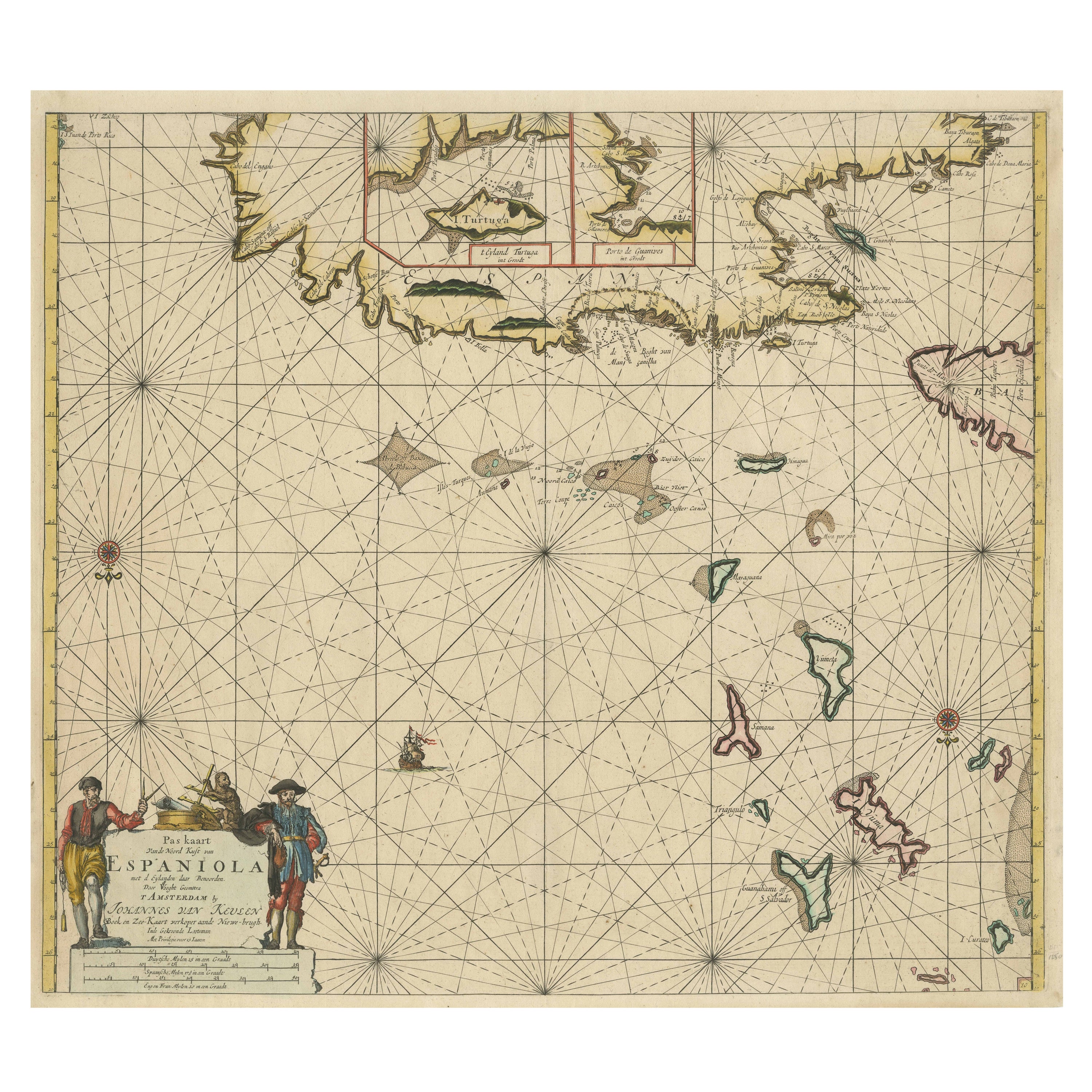
Original Antique Sea Chart - the Northern Part of Hispaniola, Western Cuba, 1684

Original Antique Sea Chart - the Northern Part of Hispaniola, Western Cuba, 1684

Located in Langweer, NL

Antique map titled 'Pas kaart van de Noord Kust van Espaniola (..)'. Beautiful sea chart of the northern part of Hispaniola, western Cuba. The map includes the Turks & Caicos Islands and southern part of the Bahamas. Shows Guanahami or S. Salvador. Guanahani is an island in the Bahamas that was the first land in the New World sighted and visited by Christopher Columbus' first voyage, on October 12, 1492. It is not known precisely which island it was, and several theories have been put forth by historians. Guanahani is the native Taíno name; Columbus called it San Salvador. Originates from 'De Nieuwe Groote Lightende Zee-Fakkel'. Published by J. van Keulen, circa 1684. The Van Keulens were a family of chartmakers and publishers. The firm, In de Gekroonde Lootsman (In the Crowned Pilot), was founded in 1678 by Johannes van Keulen (1654-1715). Van Keulen originally registered his business as a vendor of books and instruments (specifically cross-staffs). In 1680, however, he gained a privilege from the States of Holland and West Friesland for the publication of pilot guides and sea atlases. In that year, van Keulen released his Zee-Atlas (Sea Atlas), which secured him a name in the competitive maritime publishing market. In 1681, he published the first volume of Nieuwe Lichtende Zee-Fakkel (New Shining Sea Torch). This would be the first of an eventual five volumes originally published between 1680 and 1684. A sixth volume was added in 1753. The Zee-Fakkel won van Keulen lasting fame. The atlas had charts compiled by Claes Jansz Vooght and artwork from Jan Luyken...

Category

Antique Late 17th Century Dutch Maps

Materials

Paper

You May Also Like

Antique Map - Gallia - Etching by Johannes Janssonius - 1650s

Antique Map - Gallia - Etching by Johannes Janssonius - 1650s

By Johannes Janssonius

Located in Roma, IT

Antique Map - Gallia is an antique map realized in 1650 by Johannes Janssonius (1588-1664). The Map is Hand-colored etching, with coeval watercoloring. Good conditions with slight ...

Category

1650s Modern Figurative Prints

Materials

Etching

Mare Atlanticum - Etching by Johannes Janssonius - 1650s

Mare Atlanticum - Etching by Johannes Janssonius - 1650s

By Johannes Janssonius

Located in Roma, IT

Mare Atlanticum is an ancient map realized in 1650 by Johannes Janssonius (1588-1664). Good conditions. From Atlantis majoris quinta pars, Orbem maritimum [Novus Atlas, volume V: c...

Category

1650s Modern Figurative Prints

Materials

Etching