Want more images or videos?
Request additional images or videos from the seller
1 of 11

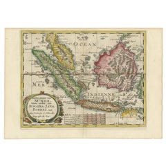
Rare Small Map of Sumatra, Java, Borneo, Macassar, Madura, Bali, 1614

$891.65
£656.20
€750VAT Included
CA$1,237.99
A$1,241.41
CHF 718.23
MX$15,116.24
NOK 8,334.79
SEK 8,495.08
DKK 5,719.38

About the Item

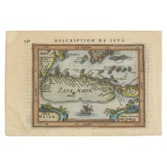
One of the first maps of the Indonesia islands of Java, Bali, Sumbawa etc. in early days of the Dutch Indies. Also showing Banten, Jakarta (Jacatra), Indragiri, Barus Tiku, Palembang, Indramayu, Tegal, Jepara, Kota agung, Bima, Makassar (Celebes/Sulawesi). From the Johan Isaac Pontanus & J. Hondius edition of 1614 - 'Historische beschrijvinghe der seer wijt beroemde coop-stadt Amsterdam'- which includes the text of the first voyage around the Cape to the East Indies (including a visit to Madagascar), the fight against the Portuguese on Bantam (West Java), description of Java, etc. creator: Anoniem / Anonymous(engraver / etcher), Lodewijcksz, Willem(copied after) period: 1614 material: paper technique: engraving inscriptiion: Iauva Insula / Samatra Insula / Borneo Insula / Miliaria Germanica quoru 15 uni gradui respondent Anoniem / Anonymous measurements sheet: 9.5 x 7 inch ( 24x18 cm) measurement map: 5.1 x 3.5 inch ( 13x9 cm ) The condition of the small map is very good, Dutch text on verso of the leaf. The area around the map has water damage. Study the image of the larger leaf carefully.
  • Dimensions:
    Height: 7.09 in (18 cm)Width: 9.45 in (24 cm)Depth: 0.01 in (0.2 mm)
  • Materials and Techniques:
    Paper,Engraved
  • Place of Origin:
  • Period:
    Early 17th Century
  • Date of Manufacture:
    1614
  • Condition:
    The condition of the small map is very good, Dutch text on verso of the leaf. The area around the map has water damage. Study the image of the larger leaf carefully.
  • Seller Location:
    Langweer, NL
  • Reference Number:
    Seller: BG-13098-11stDibs: LU3054325977812

More From This Seller

View All
Antique Map of the Sunda Islands Including Sumatra, Java, and Borneo, 1705

Antique Map of the Sunda Islands Including Sumatra, Java, and Borneo, 1705

Located in Langweer, NL

Title: “Antique Map of the Sunda Islands Including Sumatra, Java, and Borneo” This print is a beautifully detailed and relatively rare map of Western Indonesia, encompassing the reg...

Category

Antique Early 1700s Maps

Materials

Paper
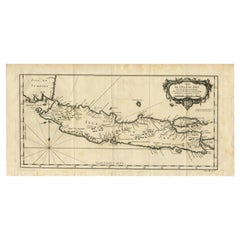
Antique Map of Java and Madura Island, Indonesia, c.1760

Antique Map of Java and Madura Island, Indonesia, c.1760

Located in Langweer, NL

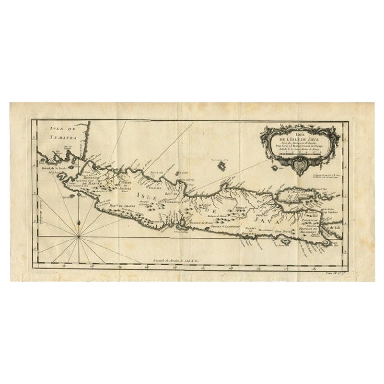
Antique map titled 'Idee de l'Isle de Java.' Well engraved and attractive chart of the island shows all principal harbors and coastal details, plus rivers, mountains and volcanoe...

Category

Antique 18th Century Maps

Materials

Paper

Antique Map of the Island Java, Indonesia, c.1650

Antique Map of the Island Java, Indonesia, c.1650

Located in Langweer, NL

Antique map titled 'Insulae Iavae cum parte insularum Boreno Sumatrae (..)'. Beautiful map of the island of Java and part of Borneo, Bali, Madura and Sumatra. With decorative carto...

Category

Antique 17th Century Maps

Materials

Paper

Old Map of the Moluccas, Known as the Famous Spice Islands, Indonesia, ca.1730

Old Map of the Moluccas, Known as the Famous Spice Islands, Indonesia, ca.1730

Located in Langweer, NL

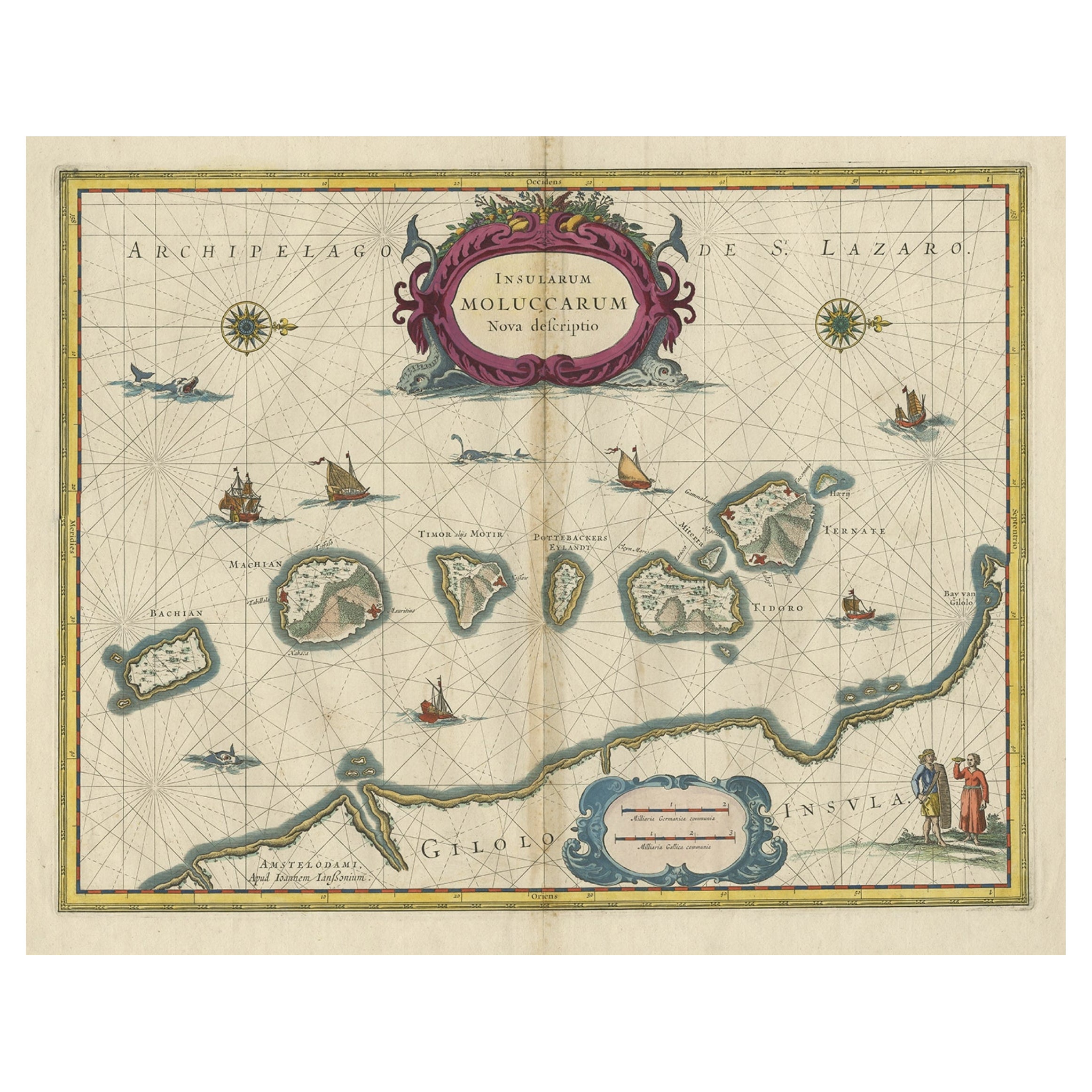
Antique map titled 'Insularum Moluccarum Nova Descriptio.' Old map of the Moluccas. The famous Spice Islands, the cornerstone of the Dutch trading empire in the East Indies throughout the 17th Century, is the focus of this exquisite map. Similar to Blaeu's map, except that it extends further south...

Category

Antique 1730s Maps

Materials

Paper

Antique Miniature Map of Java by Bertius/Hondius '1618'

Antique Miniature Map of Java by Bertius/Hondius '1618'

Located in Langweer, NL

Rare antique miniature map titled 'Iava Maior'. This map shows the northern coastline of Java (Indonesia) with numerous place names, but the southern coa...

Category

Antique Early 17th Century Maps

Materials

Paper

Antique Map of Java and Part of Borneo, Indonesia, c.1657

Antique Map of Java and Part of Borneo, Indonesia, c.1657

Located in Langweer, NL

Antique map titled 'Insulae Iavae cum parte insularum Boreno Sumatrae (..)'. Beautiful map of the island of Java and part of Borneo, Bali, Madura and Sumatra. With decorative carto...

Category

Antique 17th Century Maps

Materials

Paper

You May Also Like

West Coast of Africa, Guinea & Sierra Leone: An 18th Century Map by Bellin

West Coast of Africa, Guinea & Sierra Leone: An 18th Century Map by Bellin

By Jacques-Nicolas Bellin

Located in Alamo, CA

Jacques Bellin's copper-plate map entitled "Partie de la Coste de Guinee Dupuis la Riviere de Sierra Leona Jusquau Cap das Palmas", depicting the coast of Guinea and Sierra Leone in ...

Category

Antique Mid-18th Century French Maps

Materials

Paper

Antique Voc Print Holland Malaysia Old Map Melaka History, 1663

Antique Voc Print Holland Malaysia Old Map Melaka History, 1663

Located in Amsterdam, Noord Holland

From my own collection I offer this impressive Antique print of the city of Malakka A very interesting piece for collectors . It is an museum piece from the Dutch Institute of Orien...

Category

Antique 17th Century European Paintings

Materials

Paper

Antique French Map of Asia Including China Indoneseia India, 1783

Antique French Map of Asia Including China Indoneseia India, 1783

Located in Amsterdam, Noord Holland

Very nice map of Asia. 1783 Dedie au Roy. Additional information: Country of Manufacturing: Europe Period: 18th century Qing (1661 - 1912) Condition: Overall Condition B (Good Used)...

Category

Antique 18th Century European Maps

Materials

Paper