Want more images or videos?
Request additional images or videos from the seller
1 of 11

Roman Britain Map, Britannia Romana, Ancient England Wales Wilkinson 1817

$472.67
£349.68
€399VAT Included
CA$654.19
A$656.57
CHF 382.87
MX$7,982.01
NOK 4,399.53
SEK 4,524.69
DKK 3,042.13

About the Item

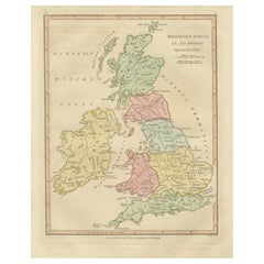
Roman Britain Map, Britannia Romana, Ancient England Wales Wilkinson 1817 This finely engraved and delicately hand-colored map depicts Roman Britain, offering a detailed view of the provinces, tribes, and settlements that formed the northern frontier of the Roman Empire. Published in London in 1817 by Robert Wilkinson as part of his renowned Atlas Classica, the map was created to accompany the study of classical history and to illustrate the geography described by ancient Roman sources. Titled Britannia Romana, the map presents England and Wales divided into Roman administrative regions and tribal territories, each carefully outlined and enhanced with subtle original hand coloring. Prominent regions such as Brigantes, Iceni, Trinovantes, Silures, and Dumnonii are clearly identified, providing insight into the complex political landscape encountered by Roman forces following the invasion of AD 43. The map is richly detailed with Roman towns, roads, rivers, and fortifications. Important sites such as Londinium (London), Eboracum (York), Verulamium (St Albans), and Camulodunum (Colchester) are prominently marked, illustrating the network of urban centers that supported Roman administration and trade. Hadrian’s Wall (*Vallum Adriani*) is clearly shown across the north, emphasizing the defensive boundary between Roman Britannia and the unconquered territories beyond. Surrounding coastal features, estuaries, and nearby regions—including parts of Wales and the western approaches—are elegantly rendered, reinforcing the island’s strategic importance within the Roman world. The balanced composition and clear geographical layout make the map both highly informative and visually appealing. Engraved with precision by E. Bourne, this sheet exemplifies the refined craftsmanship of early 19th-century British cartography. The soft pastel palette, crisp lettering, and harmonious design make it not only a valuable historical reference but also a highly decorative piece suited for a wide range of interiors. A compelling and historically rich work, ideal for collectors of Roman history, British antiquity, or decorative antique maps. It offers a fascinating window into the organization and infrastructure of Roman Britain and remains highly desirable for both scholarly and decorative purposes. Condition: Very good with original hand color. Light age toning and minor wear consistent with age. Margins well preserved. Plate mark visible. Framing tips: Particularly effective in a dark walnut or ebonized frame with a generous ivory or warm off-white mat. Ideal for a study, library, or classic interior; pairs beautifully with other maps of the Roman world. This is an original 19th-century engraving, not a reproduction. All items we offer are authentic period works of art over 100 years old. The map is sold unframed; any framed images are shown for presentation and interior inspiration only. Keywords: Roman Britain map, Britannia Romana, ancient England map, Wales antique map, Roman provinces Britain, Brigantes Iceni Trinovantes, Silures Dumnonii, Londinium Eboracum map, Hadrian’s Wall map, Vallum Adriani, Roman roads Britain, classical antiquity Britain, Atlas Classica, Robert Wilkinson map, 1817 antique map, copperplate engraving, hand colored map, British atlas engraving, London published map, early 19th century map, decorative antique map, scholarly atlas, collectors map, interior wall art, neoclassical decor, museum quality map Technique: Copperplate engraving with original hand color Maker: Robert Wilkinson, London, 1817 (engraved by E. Bourne)
  • Dimensions:
    Height: 13.47 in (34.2 cm)Width: 11.03 in (28 cm)Depth: 0.01 in (0.2 mm)
  • Materials and Techniques:
    Paper,Engraved
  • Place of Origin:
  • Period:
  • Date of Manufacture:
    1817
  • Condition:
    Very good with original hand color. Light age toning and minor wear consistent with age. Margins well preserved. Plate mark visible.
  • Seller Location:
    Langweer, NL
  • Reference Number:
    Seller: BG-14227-2-491stDibs: LU3054349487212

More From This Seller

View All
Roman Britain Map — Britanniae Insulae Classical Provinces, Wilkinson 1800

Roman Britain Map — Britanniae Insulae Classical Provinces, Wilkinson 1800

Located in Langweer, NL

Roman Britain Map — Britanniae Insulae Classical Provinces, Wilkinson 1800 This finely engraved antique map titled Britannicae Insulae ex Ævi Romani Monumentis presents Great Britai...

Category

Antique Early 19th Century British Maps

Materials

Paper

Antique Map of Ancient Britain – Roman England, Wales & Scotland, c.1818

Antique Map of Ancient Britain – Roman England, Wales & Scotland, c.1818

Located in Langweer, NL

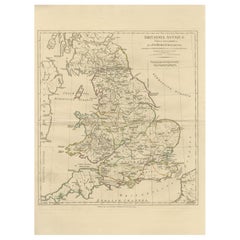
Antique Map of Ancient Britain – Roman England, Wales & Scotland, c.1818 Elegant antique map depicting ancient Britain under Roman rule, covering England, Wales, southern Scotland, and the adjacent coastlines of Ireland and the North Sea. The map presents Roman provinces, tribal regions, cities, roads, rivers, and coastlines in fine engraved detail, highlighted with subtle original outline color. The composition is calm yet visually engaging, with the island form of Britain clearly articulated and balanced across the sheet. Latin place names, tribal territories, and Roman administrative divisions give the map strong historical depth, while the restrained engraving and warm parchment tone create a refined, architectural presence ideally suited to modern interiors. The map is based on the work of Jean-Baptiste Bourguignon d’Anville, whose reconstructions of the ancient world established the foundations of modern historical cartography. D’Anville rejected speculative geography in favor of critical analysis of Roman itineraries, classical texts, and geographic evidence, producing maps valued for accuracy, clarity, and enduring scholarly authority. This example is the English edition published in London by Laurie & Whittle, issued circa 1818 and bound in the atlas A Complete Body of Ancient Geography. Produced during the neoclassical period, the map reflects early nineteenth-century taste for balance, order, and historical precision. The neutral palette, crisp engraving, and generous margins make this map particularly effective as wall art in libraries, studies, boardrooms, and hospitality interiors. It pairs beautifully with companion maps of Roman Gaul, Italy, and the Roman World from the same series. A timeless and highly decorative representation of Roman Britain, combining classical scholarship with strong interior presence. Condition report: Good antique condition with light, even toning and gentle age-related wear consistent with age. Original outline color remains clear and balanced. Central fold as issued. No major tears, losses, or repairs observed. Framing tips: Best presented in a dark walnut, blackened oak, or ebonized frame with a wide ivory or soft parchment mat. Museum or UV glass recommended. Particularly effective when displayed as part of a Roman Europe or classical map grouping. Technique: Engraving with original outline color Maker: Jean-Baptiste Bourguignon d’Anville (after), published by Laurie & Whittle, London, circa 1818 Keywords: antique britain map, ancient britain map, roman britain map, britanniae antiquae, antique england map, roman england map, ancient scotland map, roman scotland map, ancient wales map, roman wales map, antique engraved map, d’anville map, laurie and whittle, 19th century map, roman provinces map, classical antiquity map, british roman history decor, neoclassical wall art, antique map wall decor, interior designer wall art, library wall decor, study wall art, museum style decor, parchment toned art, neutral wall art, scholarly antique map, collectible antique map, framed antique map...

Category

Antique Early 19th Century British Maps
Materials

Paper

Antique Map of Britain in Roman Times

Antique Map of Britain in Roman Times

Located in Langweer, NL

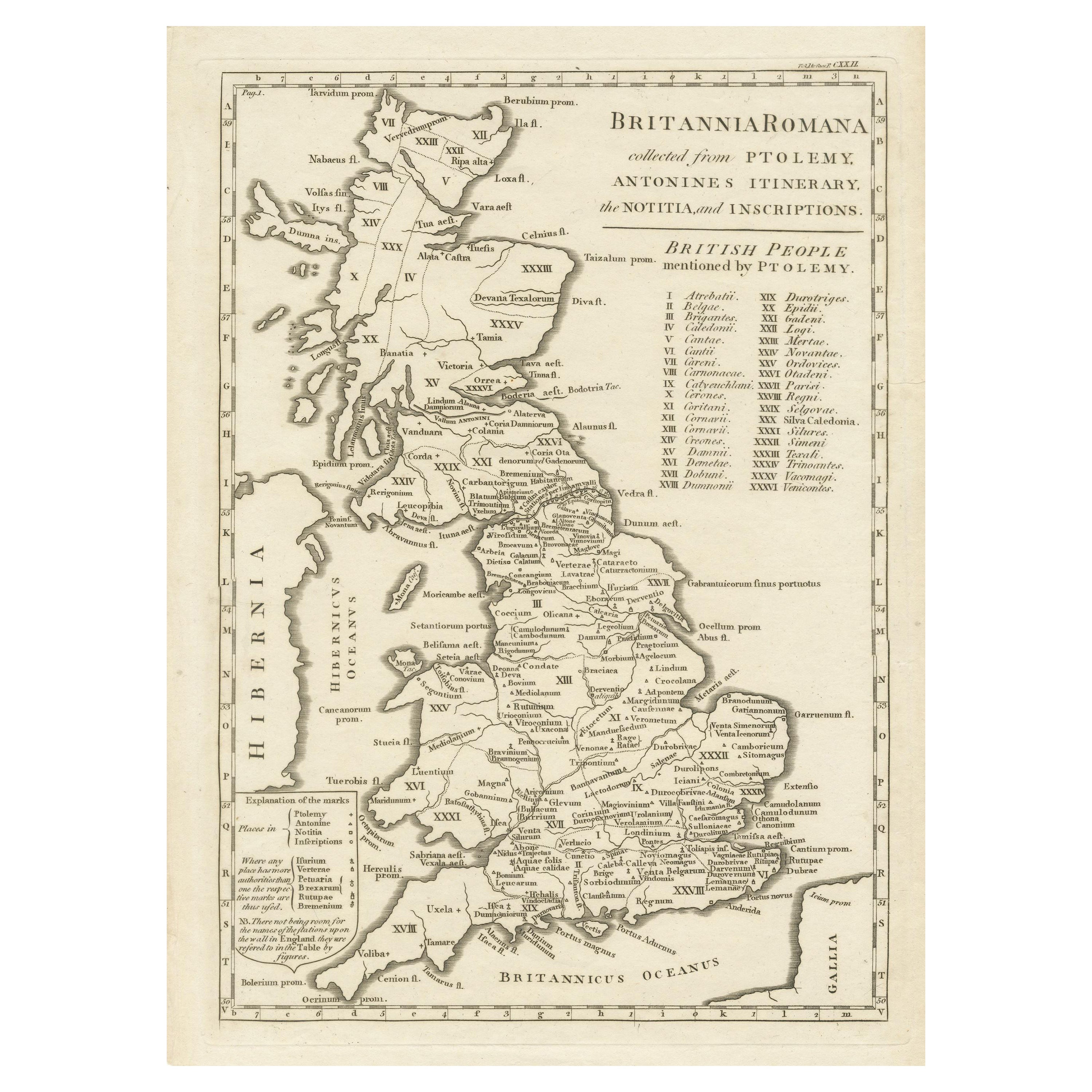
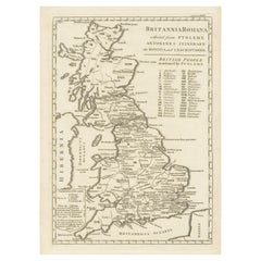
Antique map titled 'Britannia Romana collected from Ptolemy (..)'. Map of Britain in Roman times drawn from several sources, including the works of Ptolemy and The Itinerary of the E...

Category

Antique Early 19th Century Maps

Materials

Paper

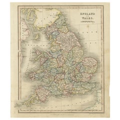
Antique Map of England and Wales, Also Showing the English Channel

Antique Map of England and Wales, Also Showing the English Channel

Located in Langweer, NL

Antique map titled 'England and Wales'. Original antique map of England and Wales. Drawn and engraved by J. Dower. Originates from 'A General Descriptive Atlas Of The Earth, Containi...

Category

Antique Mid-19th Century Maps

Materials

Paper

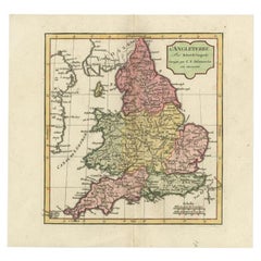
Antique Map of England with French Title, 1806

Antique Map of England with French Title, 1806

Located in Langweer, NL

Antique map titled 'L'Angleterre.' Map of England by Robert de Vaugondy, revised and published by Delamarche in 1806. Source unknown, to be determined. ...

Category

Antique 19th Century Maps

Materials

Paper

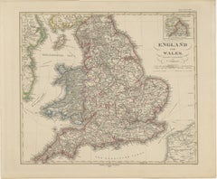
England & Wales in 1857 – Decorative Antique Map with Rail Routes

England & Wales in 1857 – Decorative Antique Map with Rail Routes

Located in Langweer, NL

Antique Map of England & Wales – Hand-Colored Engraving by Stülpnagel, 1857 Fine 19th-century map titled "England und Wales", drawn and engraved by Friedrich von Stülpnagel and publ...

Category

Antique Mid-19th Century German Maps

Materials

Paper

You May Also Like

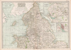
England and Wales, Northern Part. Century Atlas antique vintage map

England and Wales, Northern Part. Century Atlas antique vintage map

Located in Melbourne, Victoria

'The Century Atlas. England and Wales, Northern Part' Original antique map, 1903. Central fold as issued. Map name and number printed on the reverse corners. Sheet 29.5cm by 40cm.

Category

Early 20th Century Victorian More Prints

Materials

Lithograph

17th Century Hand-Colored Map of Southeastern England by Mercator and Hondius

17th Century Hand-Colored Map of Southeastern England by Mercator and Hondius

By Gerard Mercator

Located in Alamo, CA

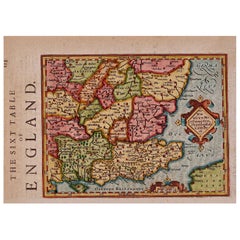
A 17th century copperplate hand-colored map entitled "The Sixt Table of England" by Gerard Mercator and Jodocus Hondius, published in Amsterdam in 1635 in 'Cosmographicall Descriptio...

Category

Antique Mid-17th Century Dutch Maps

Materials

Paper

England and the British Isles: A Large 17th Century Hand-colored Map by de Wit

England and the British Isles: A Large 17th Century Hand-colored Map by de Wit

By Frederick de Wit

Located in Alamo, CA

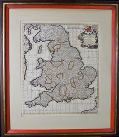
This is a large hand-colored 17th century map of England and the British Isles by Frederick de Wit entitled "Accuratissima Angliæ Regni et Walliæ Principatus", published in Amsterdam in 1680. It is a highly detailed map of England, Scotland, the Scottish Isles...

Category

Late 17th Century Other Art Style Landscape Prints

Materials

Engraving

Large 17th Century Hand Colored Map of England and the British Isles by de Wit

Large 17th Century Hand Colored Map of England and the British Isles by de Wit

By Frederick de Wit

Located in Alamo, CA

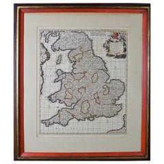
A large hand colored 17th century map of England and the British Isles by Frederick de Wit entitled "Accuratissima Angliæ Regni et Walliæ Principatus", published in Amsterdam in 1680. It is a highly detailed map of England, Scotland, the Scottish Isles...

Category

Antique Late 17th Century Dutch Maps

Materials

Paper