London Central Map c.1929 – Bartholomew Antique City Plan
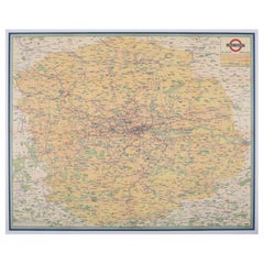
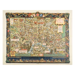
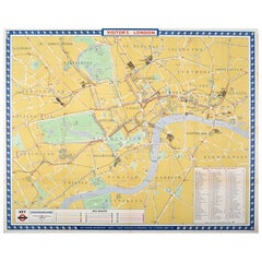
This detailed city plan, titled “Bartholomew’s Plan of London, Central Area,” was published by John Bartholomew & Son, Edinburgh, in the early 20th century (c.1929). Bartholomew, one of Britain’s most respected cartographic firms, was known for its clarity, accuracy, and the use of subtle yet effective color schemes.
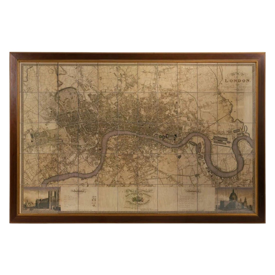
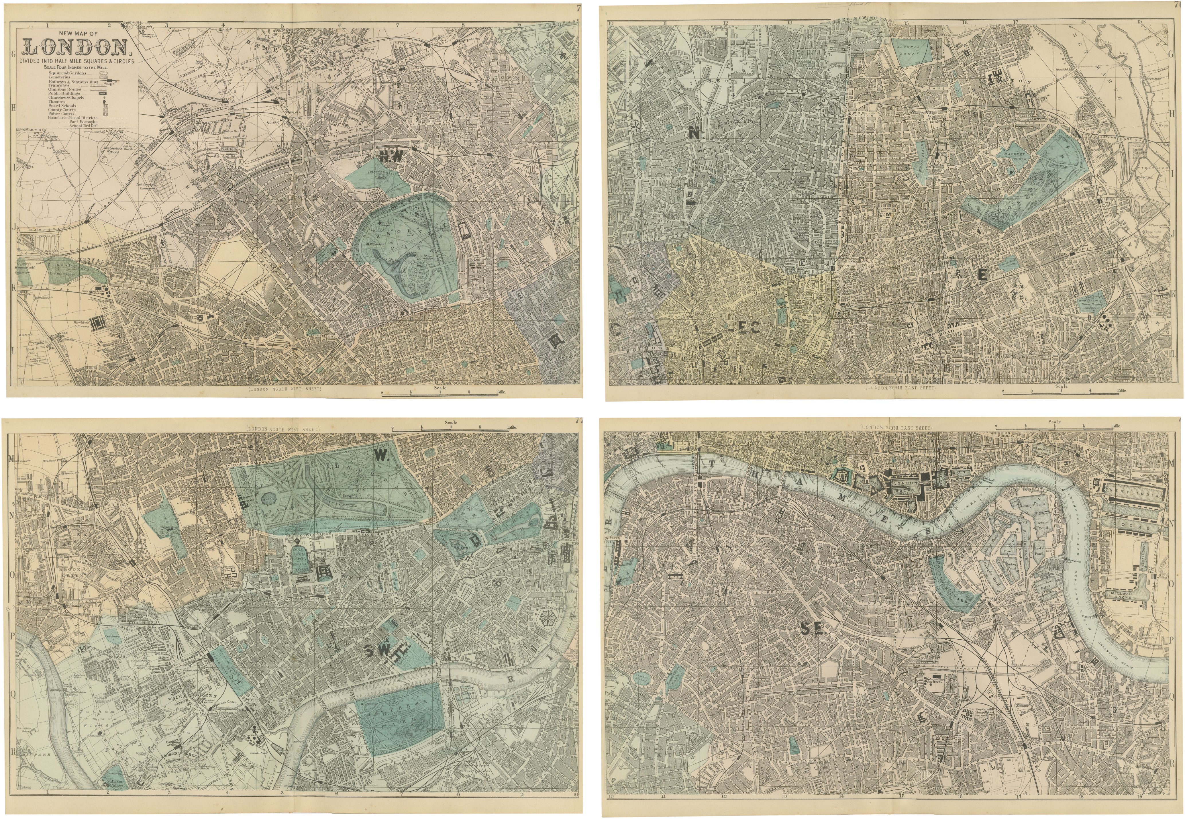
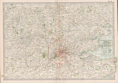
The map covers central London with exceptional detail, extending from Paddington and Regent’s Park in the west to the East India Docks and Greenwich in the east, and from Hampstead Heath in the north down to Clapham and Greenwich in the south. Streets, squares, parks, and railways are finely engraved, while key buildings and institutions are highlighted in black, including Buckingham Palace, the Houses of Parliament, St. Paul’s Cathedral, the Tower of London, and major railway termini such as King’s Cross, Paddington, and Waterloo.
Color coding marks borough divisions and major thoroughfares, while the River Thames flows through the center, with its distinctive bends and docks prominently shown. Parks such as Hyde Park, Regent’s Park, and Green Park appear in green, providing clear orientation within the dense urban fabric.
Plans of London by Bartholomew were issued in various formats for guidebooks, atlases, and folding tourist maps, making them practical tools for visitors and residents alike. This edition captures London between the Edwardian era and the interwar years, a period of rapid growth and modernization before the transformative effects of the Second World War.
Condition: Very good. Original color printing, with strong paper and sharp impressions. Folding map. Light age toning and minor handling wear in margins, but overall well preserved.
Framing tips: This map makes an excellent display piece for London enthusiasts. A black or dark oak frame with a cream mat will enhance the clarity of the engraving, while a green secondary mat could draw attention to the parks and open spaces.
Technique: Lithograph with original printed color
Maker: John Bartholomew & Son, Edinburgh, c.1929
Collector’s note: John Bartholomew & Son was one of the leading British mapmaking firms of the 19th and 20th centuries. Their London plans combined elegance and precision, and today are valued both as historical records and as decorative works. Maps like this, showing the city between the Victorian and modern eras, are especially sought after by collectors of London history.