Video Loading
Want more images or videos?
Request additional images or videos from the seller
1 of 11

Original Illustration Map of Hawaii by Charles Burki, ca. 1948 – Ink Drawing

$934.05
£689.65
€790VAT Included
CA$1,297.45
A$1,303.21
CHF 755.63
MX$15,900.46
NOK 8,744.86
SEK 8,972.68
DKK 6,023.69

About the Item

Original Illustration Map of Hawaii by Charles Burki, ca. 1945 – Ink Drawing Original pen-and-ink illustration of the Hawaï-Eilanden (Hawaiian Islands) by Dutch artist Charles Burki (1909–1994), executed circa 1945. This refined black-and-white drawing combines crisp cartographic precision with Burki’s elegant graphic artistry, showcasing his ability to merge geography, design, and visual storytelling. The map depicts the major Hawaiian islands — Hawaii, Maui, Molokai, Lanai, Oahu, Kauai, and Niihau — labeled in Dutch and surrounded by the Stille Oceaan (Pacific Ocean). Decorative details, including a large pineapple and tropical foliage in the upper left corner, evoke the exotic abundance and maritime charm of mid-century travel imagery. The scale bar and directional notations confirm its use as original layout artwork for a Dutch educational or commercial publication. Executed with fine pen work, cross-hatching, and Burki’s precise architectural line, this composition reflects his technical training and his post-war fascination with global geography. Comparable works were produced for publishers such as Uitgeverij Succes, Het Spectrum, and De Bezige Bij during the 1940s–1950s, when Burki contributed map vignettes and visual supplements to books and magazines. A beautifully preserved and rare example of Burki’s map-based design art, merging the rigour of a draftsman with the imagination of a world illustrator. Biographical Note: Charles Burki (1909–1994) was a Dutch painter and illustrator whose career bridged the colonial and post-war eras. Trained in architectural drafting, he moved to the Dutch East Indies in the 1930s and became known for posters and illustrations for local periodicals. During World War II he was imprisoned as a POW; during transport to Japan his ship was bombed and sunk. He survived ten hours at sea, endured imprisonment, and lived through the atomic bombing in Japan at 1,500 meters from impact—an ordeal that profoundly shaped his later art. After the war Burki returned to the Netherlands, where he became one of the country’s leading illustrators, creating dynamic cover art and maps for Uitgeverij Succes, De Bezige Bij, Het Spectrum, and Kluitman. His precise draughtsmanship, cinematic realism, and restrained palette reflect both technical mastery and lived experience. Today his original gouache and ink boards are prized as rare examples of mid-century Dutch illustration and narrative art. Condition report: Excellent condition; strong, unfaded black ink on cream paper. Minor age toning and faint production pencil marks along the margin, not affecting the image. Framing tips: Display in a simple black, walnut, or teak frame with an ivory mat. A floating mount highlights the fine border and technical draftsmanship. Technique: Pen and ink on paper Maker: Charles Burki, The Netherlands, ca. 1945
  • Dimensions:
    Height: 6.3 in (16 cm)Width: 8.67 in (22 cm)Depth: 0.01 in (0.2 mm)
  • Materials and Techniques:
  • Place of Origin:
  • Period:
  • Date of Manufacture:
    ca.1948
  • Condition:
    Excellent condition; strong, unfaded black ink on cream paper. Minor age toning and faint production pencil marks along the margin, not affecting the image.
  • Seller Location:
    Langweer, NL
  • Reference Number:
    Seller: BG-Bea51stDibs: LU3054347066482

More From This Seller

View All
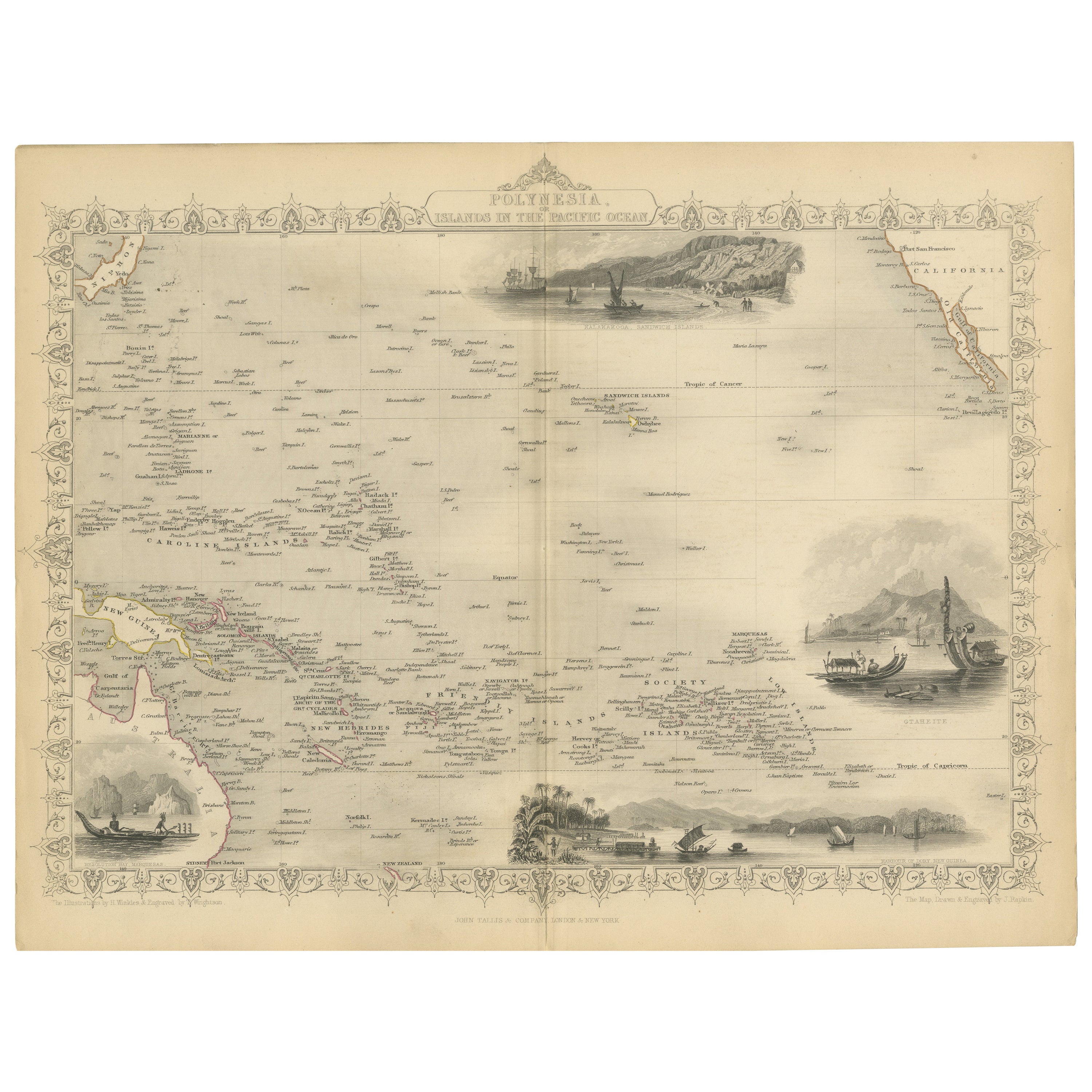
Antique Map of Polynesia by Walker, 1840

Antique Map of Polynesia by Walker, 1840

Located in Langweer, NL

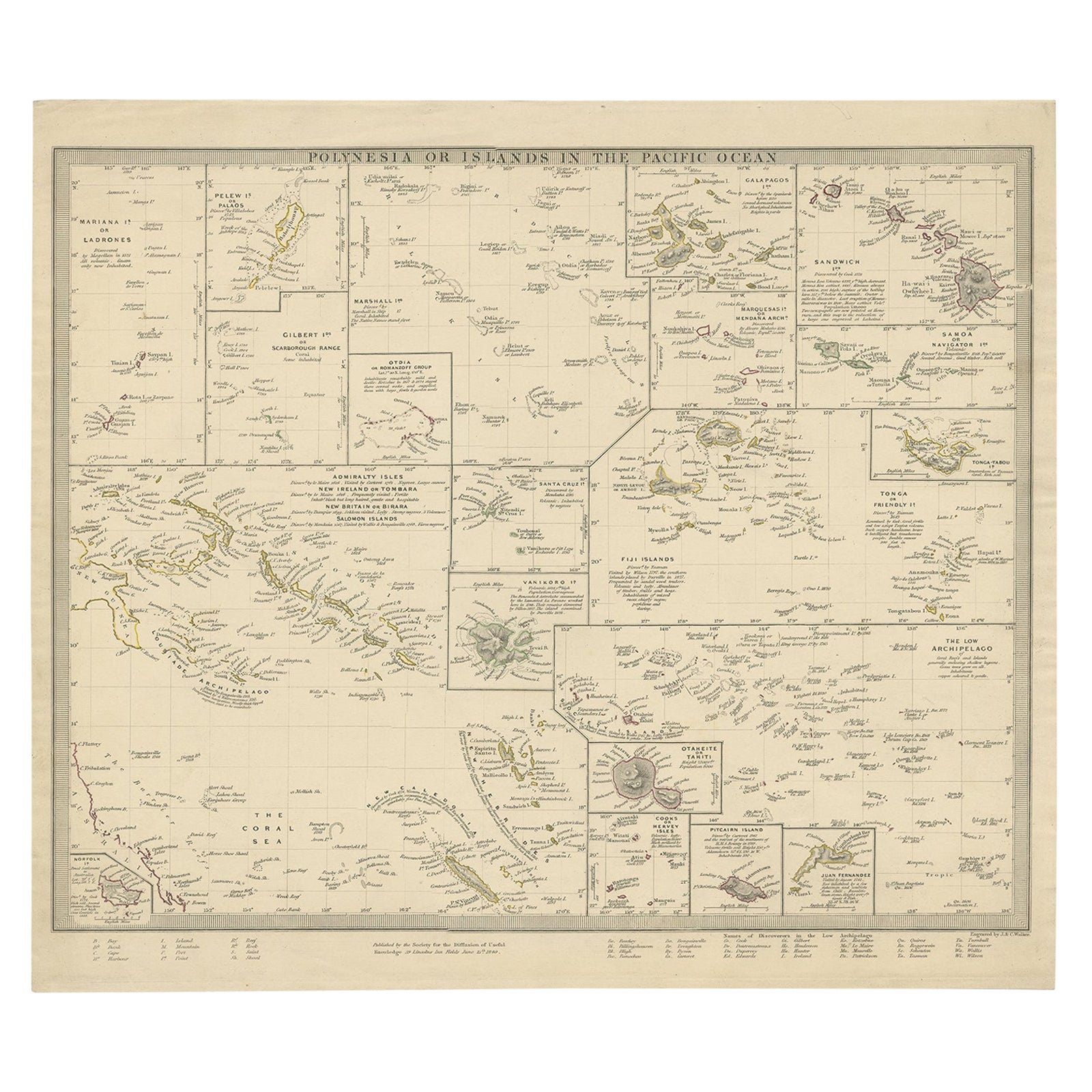
Antique map titled 'Polynesia or Islands in the Pacific Ocean'. This map depicts various islands including the Lousiade Archipelago, Tahiti, Pitcairn Island, Juan Fernandez, The low ...

Category

Antique 19th Century Maps

Materials

Paper

Original Illustration Map of India by Charles Burki, 1951 – Ink Drawing

Original Illustration Map of India by Charles Burki, 1951 – Ink Drawing

Located in Langweer, NL

Original Illustration Map of India by Charles Burki, 1951 – Ink Drawing Original pen-and-ink illustration of India by Dutch artist Charles Burki (1909–1994), executed in 1951. This ...

Category

Vintage 1950s Dutch Drawings

Materials

Paper

Antique Map of Polynesia with Details of Many Islands, 1840

Antique Map of Polynesia with Details of Many Islands, 1840

Located in Langweer, NL

Antique map titled 'Polynesia or Islands in the Pacific Ocean'. This map depicts various islands including the Lousiade Archipelago, Tahiti, Pitcairn Island, Juan Fernandez, The lo...

Category

Antique 19th Century Maps

Materials

Paper

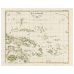
Antique Map of Western Polynesia, 1849

Antique Map of Western Polynesia, 1849

Located in Langweer, NL

Antique map titled 'Ost-Polynesien'. Detailed map of the western Pacific extending from the Celebes to Samoa and including part of Australia. Insets of...

Category

Antique Mid-19th Century Maps

Materials

Paper

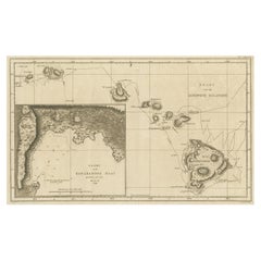
Map of the Hawaiian Islands with a Large Inset of Karakakooa Bay, 1803

Map of the Hawaiian Islands with a Large Inset of Karakakooa Bay, 1803

Located in Langweer, NL

Antique map titled 'Kaart van de Sandwich Eilanden'. Map of the Hawaiian Islands with a large inset of Karakakooa Bay, including soundings and anchorages. Originates from 'Reizen R...

Category

Antique Early 1800s Maps

Materials

Paper

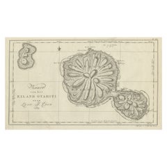
Antique Map of the Island of Tahiti, Polynesia, 1803

Antique Map of the Island of Tahiti, Polynesia, 1803

Located in Langweer, NL

Antique map Tahiti titled 'Kaart van het Eiland Otahiti'. Antique map of the Island of Tahiti, Polynesia. Originates from 'Reizen Rondom de Waereld door James Cook (..)'. Artists...

Category

Antique Early 1800s Dutch Maps

Materials

Paper

You May Also Like

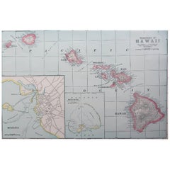
Original Antique Map of Hawaii And Adjacent Islands. C.1900

Original Antique Map of Hawaii And Adjacent Islands. C.1900

Located in St Annes, Lancashire

Fabulous map of Hawaii. With a vignette of Honolulu Original color. Engraved and printed by the George F. Cram Company, Indianapolis. Published, C.1900. Unframed. Free shipping.

Category

Antique 1890s American Maps

Materials

Paper

Large Original Antique Map of The Leeward Islands. 1894

Large Original Antique Map of The Leeward Islands. 1894

Located in St Annes, Lancashire

Superb Antique map of The Leeward Islands Published Edward Stanford, Charing Cross, London 1894 Original colour Good condition Unframed. Free shipping

Category

Antique 1890s English Maps

Materials

Paper

Antique Lithography Map, West Africa, English, Framed, Cartography, Victorian

Antique Lithography Map, West Africa, English, Framed, Cartography, Victorian

Located in Hele, Devon, GB

This is an antique lithography map of Western Africa. An English, framed atlas engraving of cartographic interest by John Rapkin, dating to the early Victorian period and later, circ...

Category

Antique Mid-19th Century British Early Victorian Maps

Materials

Wood

Huge wall lithograph map 1886: Australia, Polynesia, West Coast America, Japan

Huge wall lithograph map 1886: Australia, Polynesia, West Coast America, Japan

By Heinrich Kiepert

Located in Purkersdorf, AT

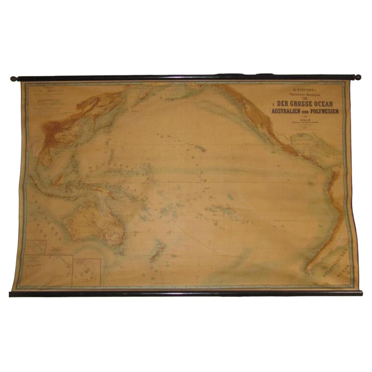
Heinrich Kiepert (1818–1899); Germany. Engraving and printing by the Leopold Kraatz Lithographic Institute in Berlin. Published by Dietrich Reimer, Berlin. Very large wall map "The G...

Category

Antique 1880s German British Colonial Maps

Materials

Linen, Hardwood, Paper

Large Original Antique Map of The Canary Islands. 1894

Large Original Antique Map of The Canary Islands. 1894

Located in St Annes, Lancashire

Superb Antique map of The Canary Islands Published Edward Stanford, Charing Cross, London 1894 Original colour Good condition Unframed. Free shipping

Category

Antique 1890s English Maps

Materials

Paper