Want more images or videos?
Request additional images or videos from the seller
1 of 7

1730 Southern Hemisphere Celestial Chart with Zodiac Signs and Decorative Putti

$2,287.70
£1,695.73
€1,940VAT Included
CA$3,191.46
A$3,237.62
CHF 1,848.51
MX$39,202.56
NOK 21,761.49
SEK 21,689.27
DKK 14,796.87

About the Item

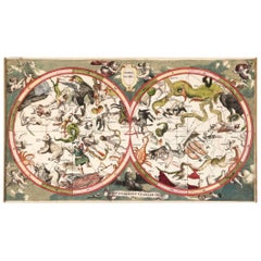
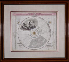
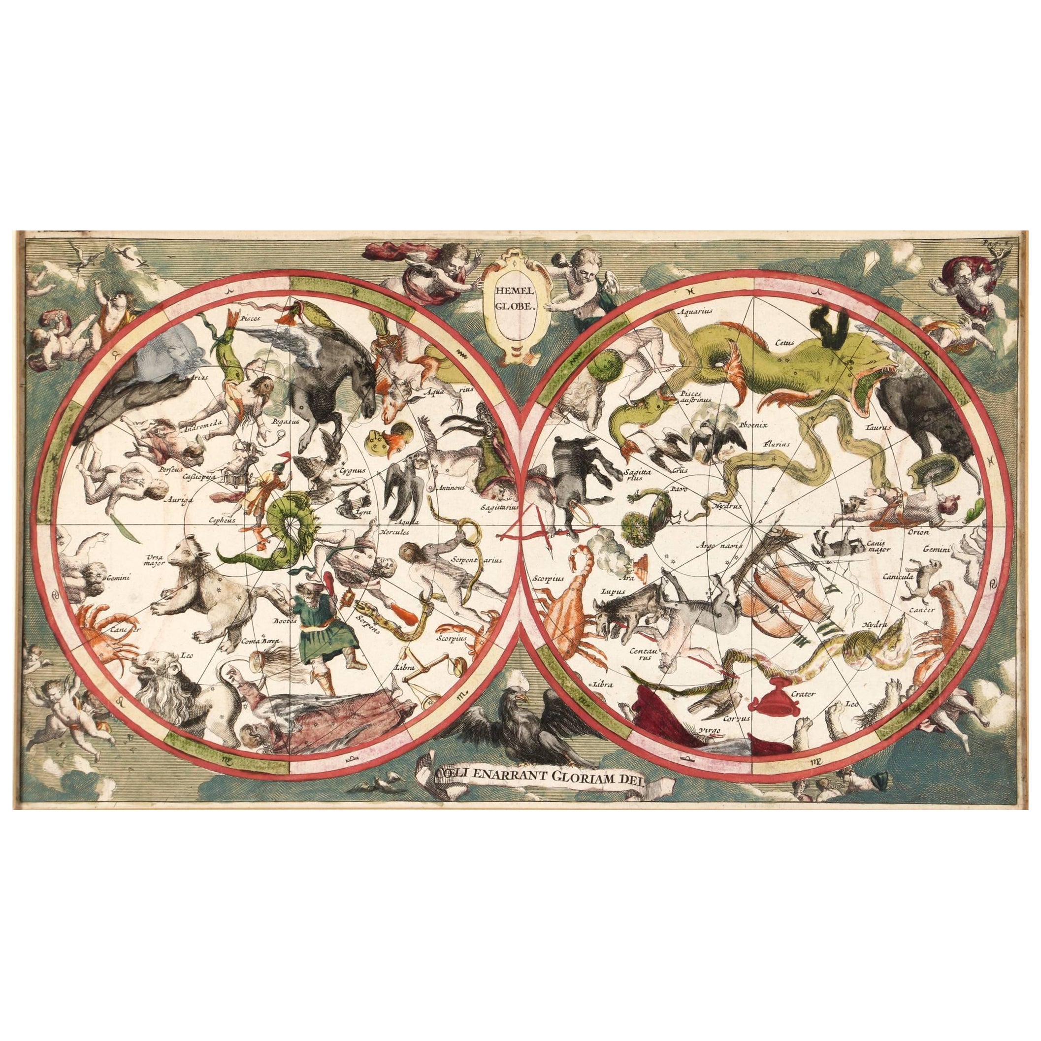
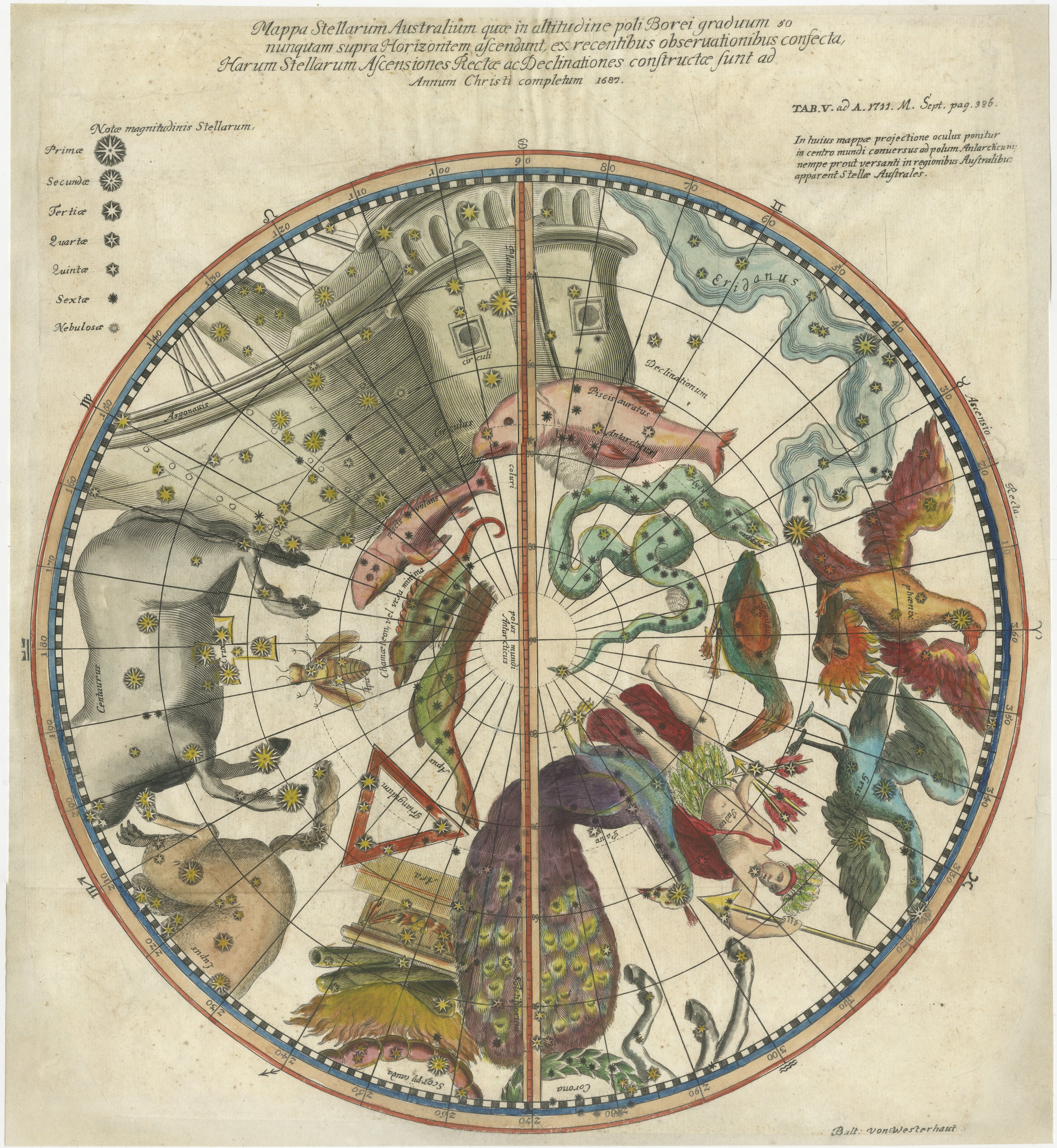
Title: 1730 Southern Hemisphere Celestial Chart with Zodiac Signs and Decorative Putti Description: This stunning 1730 celestial map, "Hemisphaerium Coeli Australe," showcases the Southern Hemisphere's constellations in remarkable detail and artistic splendor. Centered on the equatorial pole, it highlights the positions of major stars in yellow and features beautifully shaded constellations (*en grisaille*), labeled with their Latin names. Among the constellations are zodiac signs like Aquarius, Capricorn, Libra, Sagittarius, and Virgo, as well as Canis Major, Hydra, Lepus, Argo Navis, and Pavo. Framed by declination tables for scientific reference, the map is further adorned with allegorical scenes featuring putti, adding a decorative flair to its scientific purpose. This celestial chart is a prime example of 18th-century Enlightenment craftsmanship, blending rigorous astronomical research with artistic creativity. The engraving technique used ensures intricate detailing, while original hand-coloring brings the constellations and decorative elements to life. This map is more than a representation of the stars; it reflects the Enlightenment's spirit of combining art, science, and exploration. It would later become part of Doppelmayr’s famous Atlas Coelestis, a monumental celestial atlas. Condition: The map is in very good condition with vibrant original hand-coloring, clean margins, and no significant flaws. A beautifully preserved example. Matting and Framing Tips: Use acid-free matting and UV-protective glass to preserve the map’s colors and paper. Pair it with a neutral or gold-accented mat and a classic wooden or gilded frame to complement its historical significance. Ensure proper spacing between the glass and the map to prevent damage, and display it in a controlled environment, away from direct sunlight or humidity, to maintain its pristine condition.
  • Dimensions:
    Height: 21.15 in (53.7 cm)Width: 24.81 in (63 cm)Depth: 0.01 in (0.2 mm)
  • Materials and Techniques:
    Paper,Engraved
  • Period:
    1730-1739
  • Date of Manufacture:
    1730
  • Condition:
    Condition: The map is in very good condition with vibrant original hand-coloring, clean margins, and no significant flaws. A beautifully preserved example.
  • Seller Location:
    Langweer, NL
  • Reference Number:
    Seller: BHZ163041stDibs: LU3054343447482

More From This Seller

View All
Antique Chart of the Passage of Comets in the Southern Sky, circa 1740

Antique Chart of the Passage of Comets in the Southern Sky, circa 1740

Located in Langweer, NL

Antique map titled 'Motus Comtarum in Hemispaerio Australi (..)'. This uncommon chart depicts the passage of comets in the southern sky between the years 1530-1704. Centered on the ecliptic poles and shows the constellation figures based on classical mythology, without showing the stars. The paths of dozens of comets are illustrated, eincluding those sighted by Tycho Brahe...

Category

Antique Mid-18th Century German Maps

Materials

Paper
1711 Star Chart of Southern Sky with Mythical Constellations and Exotic Animals

1711 Star Chart of Southern Sky with Mythical Constellations and Exotic Animals

Located in Langweer, NL

1711 Star Chart of the Southern Sky - "Mappa Stellarum Australium quae in Altitudine Poli Borei Graduum" This beautiful star chart, engraved by Arnold van Westerhout in 1711, shows ...

Category

Antique 1710s Belgian Maps

Materials

Paper

Antique Map of the Northern Hemisphere, 1782

Antique Map of the Northern Hemisphere, 1782

Located in Langweer, NL

Antique map titled 'Hémisphère Septentrional pour voir plus distinctement les Terres Arctiques (..)'. Map of the Northern Hemisphere, originall...

Category

Antique 1780s Maps

Materials

Paper

Antique Map of the World in Hemispheres by Keizer & de Lat, 1788

Antique Map of the World in Hemispheres by Keizer & de Lat, 1788

Located in Langweer, NL

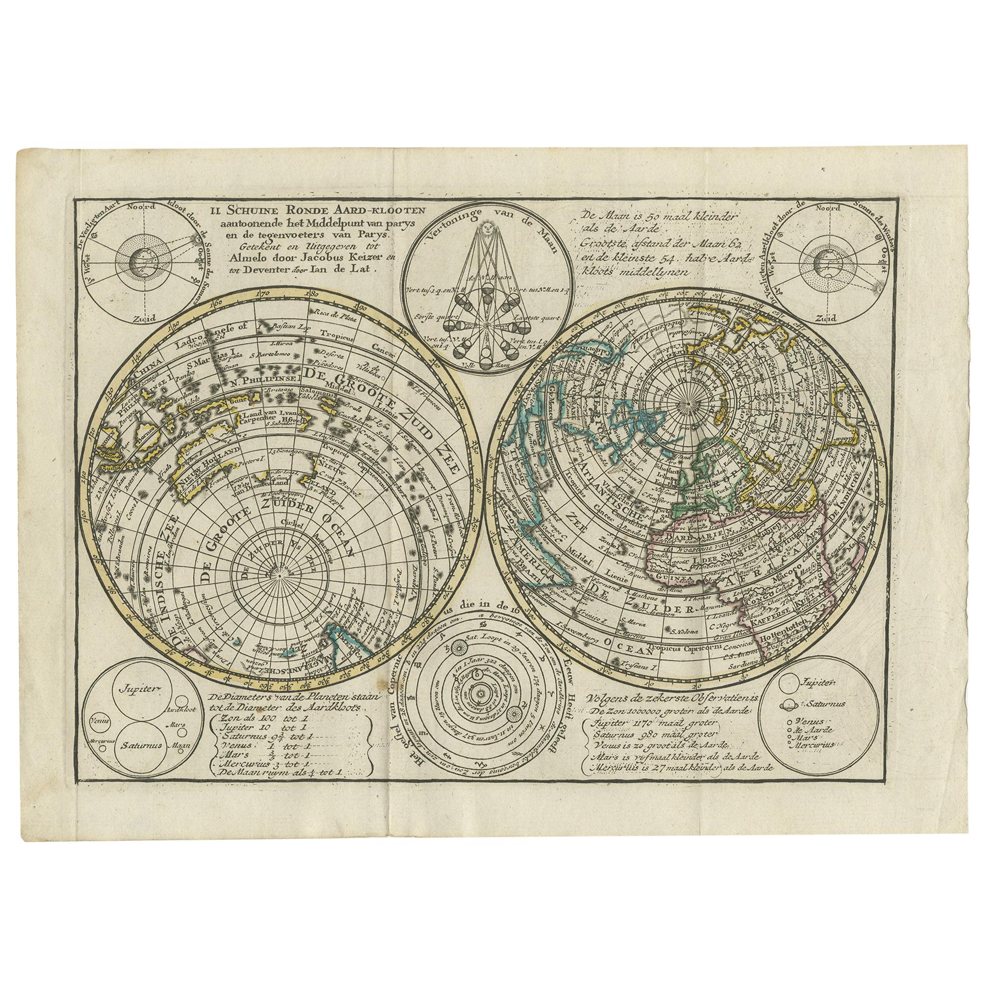
Antique map titled 'Schuine Ronde Aard-Bolle waar van 't Middelpunt is Amsterdam (..)'. Interesting double hemisphere world map on polar projections. In North America, there is a large Island of California. Australia and New Zealand are shown with incomplete coastlines. The map contains six smaller astronomical...

Category

Antique Late 18th Century Maps

Materials

Paper

You May Also Like

Cosmgraphy and Astrology, 1686 by Richard Blome from the First Edition

Cosmgraphy and Astrology, 1686 by Richard Blome from the First Edition

By Richard Blome

Located in BUNGAY, SUFFOLK

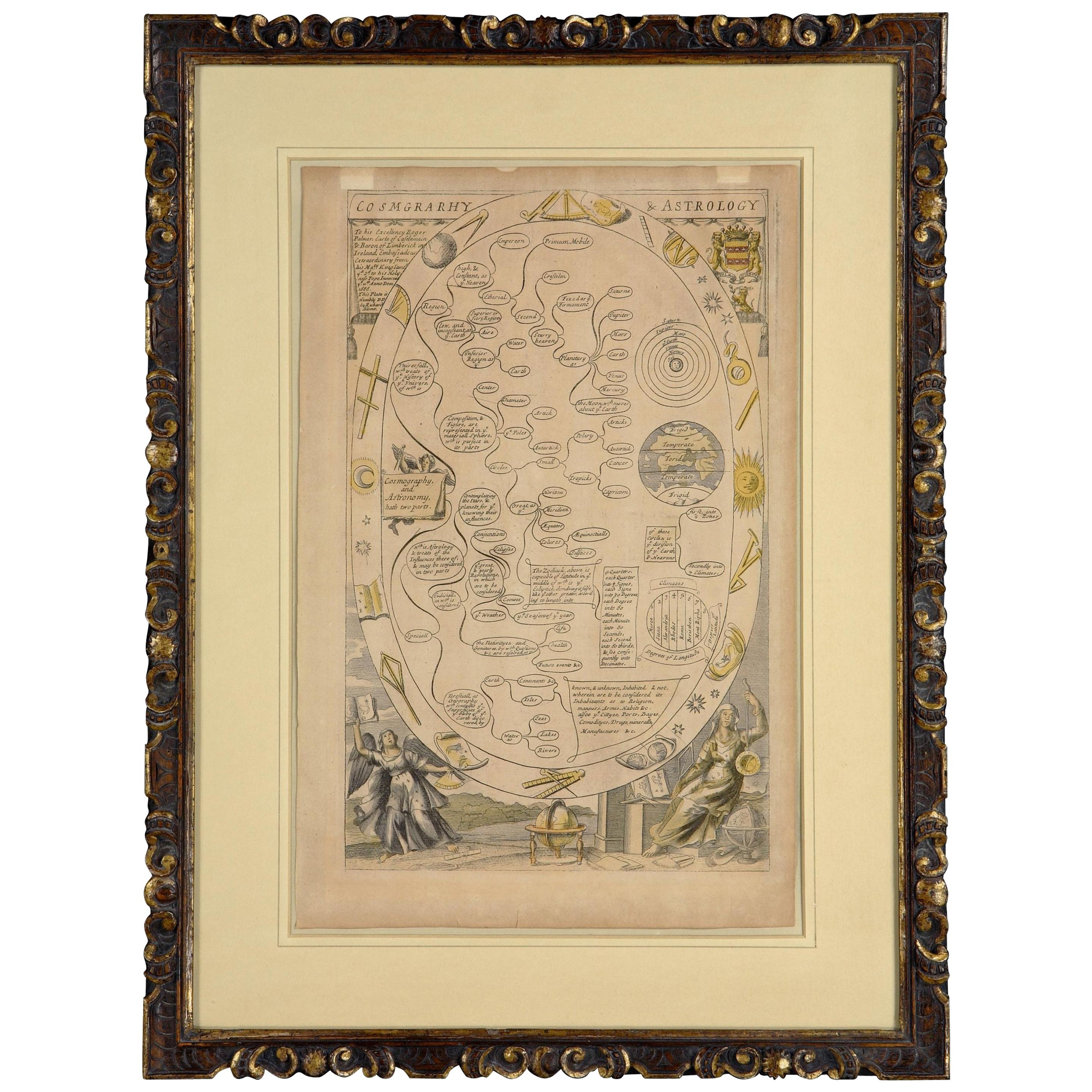
Cosmography & Astrology Large oval engraved plate with inscriptions outlining the various parts of cosmography and astronomy; below, two emblematic figures with scientific instruments either side. Lettered with title, dedication, and various inscriptions. To his Excellency Roger Palmer, Earle of Castelmain and Baron of Limerick in Ireland, Embassador Extraordinary from his majesty King James II to his Holyness Pope Innocent 11th anno dom 1686. This plate is humbly DD by Richard Blome. On paper and retaining its original coloring. Sheet width 26 ½ cm., 10 ½ in., height 41 ½ cm., 16 ½ in., In a part-gilded Sansovino frame...

Category

Antique 1680s English Charles II Decorative Art

Materials

Paper

18th-century celestial - Camelopardal & Auriga

18th-century celestial - Camelopardal & Auriga

By John Flamsteed 1

Located in London, London

18th-century celestial FLAMSTEED, John. Camelopardal & Auriga London, C. Nourse, 1753. Hand coloured star chart heightened with gold and silver, engraved by John Mynde, from the s...

Category

1750s Naturalistic Figurative Prints

Materials

Watercolor, Engraving

Italian Renaissance Celestial Map

Italian Renaissance Celestial Map

Located in Queens, NY

Italian Renaissance style framed print of celestial map depicting stars and heavens (dated 1700 and inscribed Marco Bembo)

Category

Antique Early 18th Century Italian Renaissance Maps

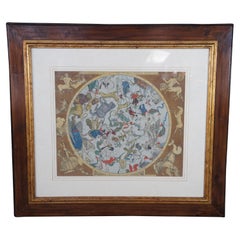
Hemisphaerium Coeli Boreale Greek Mythology Astronomical Celestial Map 39"

Hemisphaerium Coeli Boreale Greek Mythology Astronomical Celestial Map 39"

Located in Dayton, OH

Large vintage copy of the Hemisphaerium Coeli Boreale historical celestial map. It depicts the constellations of the Northern Hemisphere based on classical Greek mythology and early...

Category

20th Century Decorative Art

Materials

Hardwood, Paper