Want more images or videos?
Request additional images or videos from the seller
1 of 5

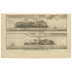
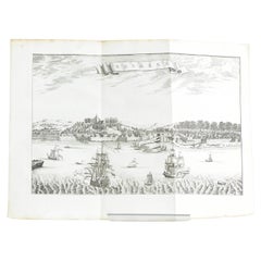
Antique Print of Nomuka Island by Van Schley, '1759'

$75.30
$94.1920% Off
£55.76
£69.7220% Off
€64VAT Included
€8020% Off
CA$104.89
CA$131.2220% Off
A$106.71
A$133.4720% Off
CHF 61.15
CHF 76.3220% Off
MX$1,284.84
MX$1,614.3720% Off
NOK 714.78
NOK 894.1920% Off
SEK 717.92
SEK 893.9720% Off
DKK 488.03
DKK 610.0120% Off

About the Item

Antique print titled 'Anamocka, ou Isle Rotterdam, Anamocka, of 't Eiland Rotterdam'. View of Nomuka island, part of the Ha?apai group of islands in the Kingdom of Tonga. This print originates from volume 18 of 'Historische beschryving der reizen (..)', published in 1759. Engraved by J. van Schley.
  • Dimensions:
    Height: 9.85 in (25 cm)Width: 7.49 in (19 cm)Depth: 0.02 in (0.5 mm)
  • Materials and Techniques:
  • Period:
  • Date of Manufacture:
    1759
  • Condition:
    General age-related toning, blank verso. Later hand coloring. Please study image carefully.
  • Seller Location:
    Langweer, NL
  • Reference Number:
    Seller: BG-125661stDibs: LU3054320345292

More From This Seller

View All
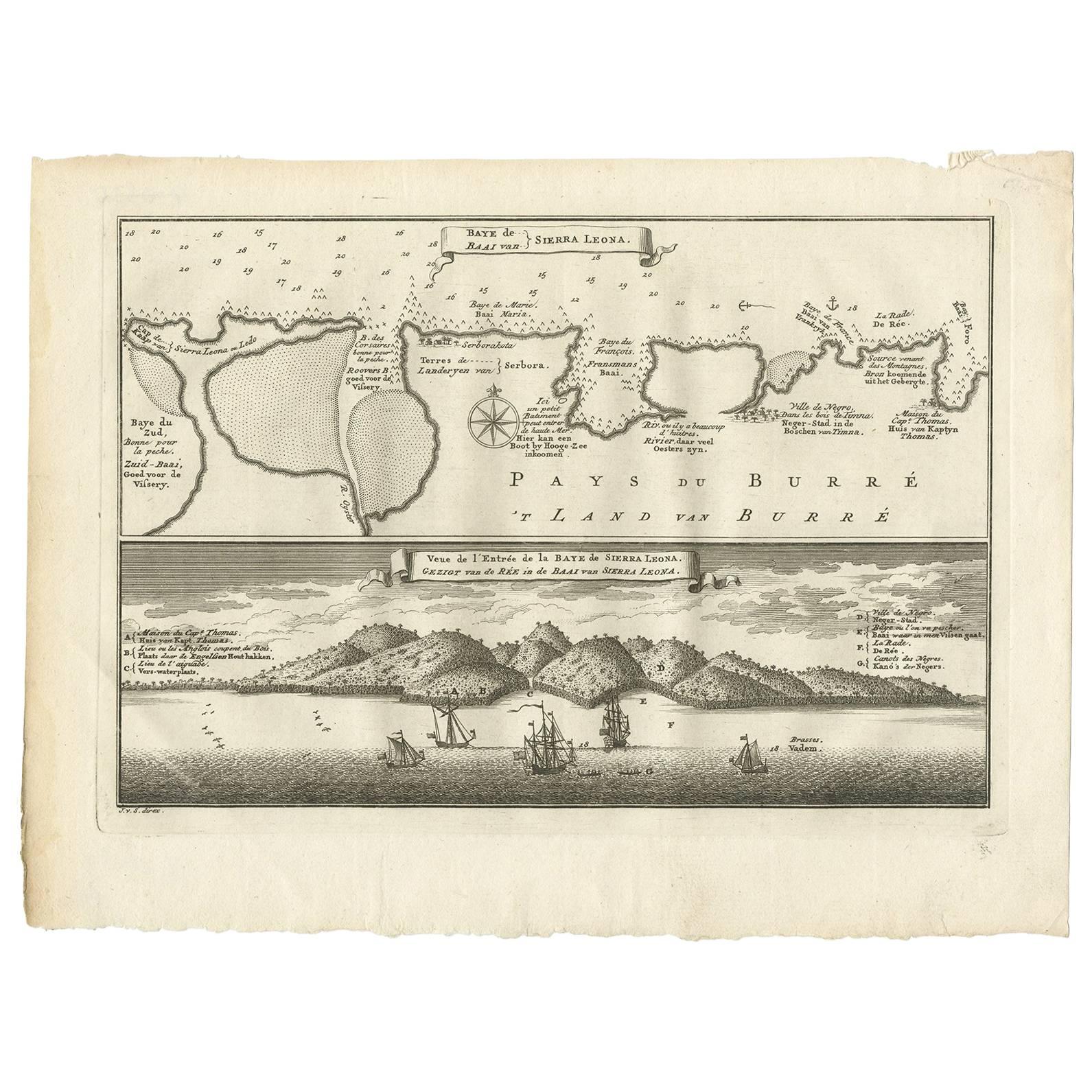
Antique Print of the Bay of Sierra Leone by J. Van Der Schley, 1758

Antique Print of the Bay of Sierra Leone by J. Van Der Schley, 1758

Located in Langweer, NL

Beautiful map and bird's-eye view of the Bay of Sierra Leone. While these maps by Van Schley after Bellin were initially made for 'Histoire Generale des Voyages' (Paris, 1746-1759), ...

Category

Antique Mid-18th Century Prints

Materials

Paper

Antique Print of Amboina by Van der Aa, circa 1725

Antique Print of Amboina by Van der Aa, circa 1725

By Pieter Van Der Aa

Located in Langweer, NL

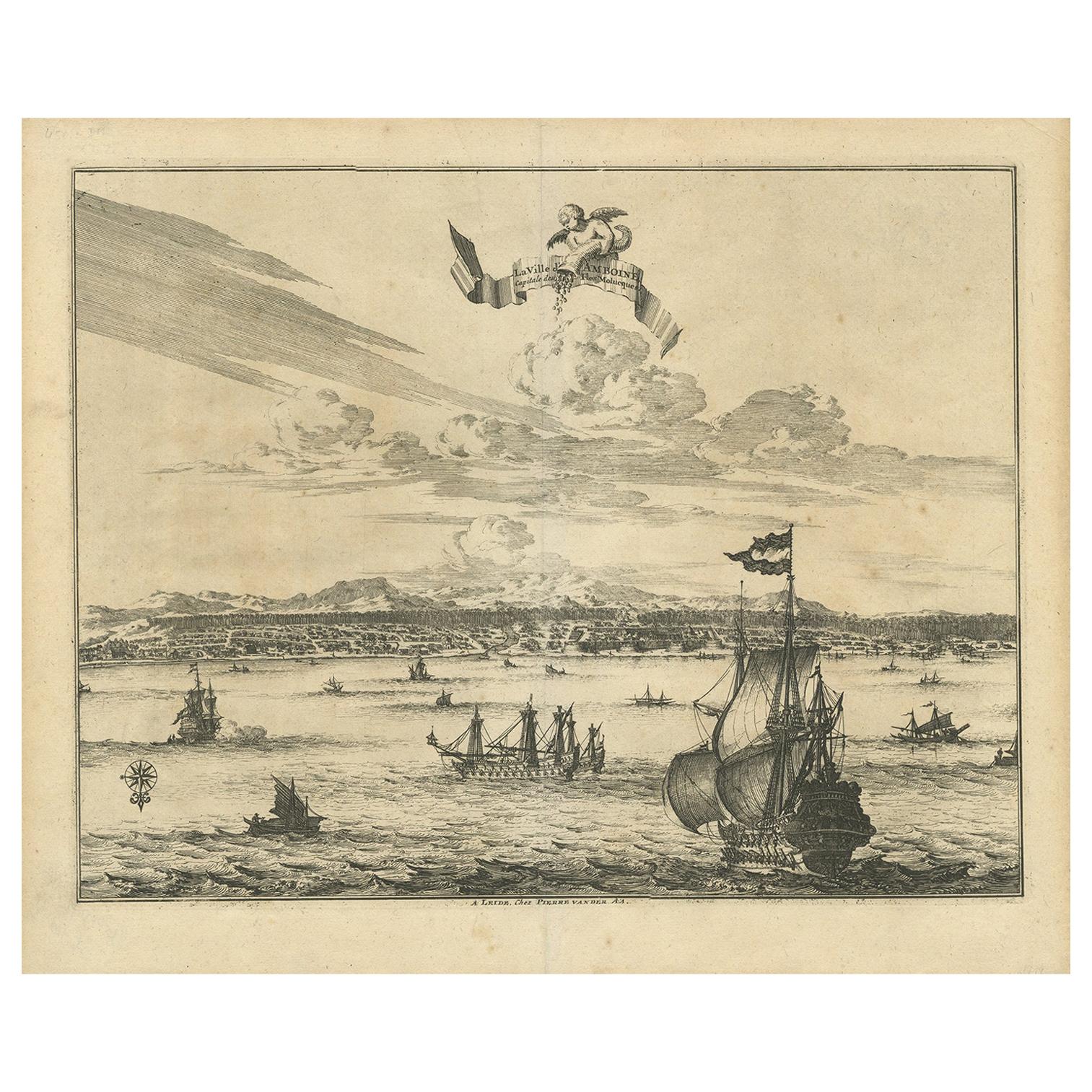
Antique print titled 'Ville d'Amboine, capitale des Iles Molucques.' This view shows Amboina, the capital of the Molucca Islands, Indonesia. In the foreground several VOC and local s...

Category

Antique Mid-18th Century Prints

Materials

Paper

Antique Print of the Bay of the Island of St. Vincent, Capeverdian Islands

Antique Print of the Bay of the Island of St. Vincent, Capeverdian Islands

By Jakob van der Schley

Located in Langweer, NL

Antique print titled 'Oppervlakte van de Baaije van 't Eiland St. Vincent (..)'. View of the Bay of the Island of St. Vincent, one of the Capeverdian Islands. Originates from a Dutch...

Category

Antique 18th Century Prints

Materials

Paper

Comore Island Original Antique Engraving by Van Schley, 1749

Comore Island Original Antique Engraving by Van Schley, 1749

Located in Langweer, NL

Antique map titled 'Carte des Isles de Comore Johanna ou Anouan Mohilla ou Moaly et Mayote (..) - Kaart van de Eilanden Komoro, Anjuan, Moelia, en Mayotta (..)'. Copper engraving of ...

Category

Antique 18th Century Maps

Materials

Paper

Antique Engraving of the Island Nzwani or Anzuany of the Comoros Islands, 1726

Antique Engraving of the Island Nzwani or Anzuany of the Comoros Islands, 1726

Located in Langweer, NL

Historical titles: Ansjouan, Ansuany, Anjouan, Anzuani, Anzuany Country: Comoros The map is taken from: 'Oud en Nieuw Oost-Indiën' van François Valentyn. 1) Ottens, Frederik (engraver / etcher) 2) Braam, J. van (publisher) 3) Linden, Gerard onder de (publisher) Anjouan is an island to the north-west of Madagascar. It is one of the Comoros Islands. The Company made regular voyages from Cape of Good Hope to Madagascar, Anjouan and the east coast of Africa to take slaves. These slaves were used as labourers in the Cape colony and Batavia. Anjouan was also employed as a staging post; it supplied VOC ships...

Category

Antique 1720s Maps

Materials

Paper

You May Also Like

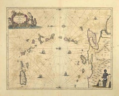
S.Juan de Puerto Rico - Etching by Johannes Janssonius - 1650s

S.Juan de Puerto Rico - Etching by Johannes Janssonius - 1650s

By Johannes Janssonius

Located in Roma, IT

S.Juan de Puerto Rico is an ancient map realized in 1650 by Johannes Janssonius (1588-1664). Good conditions. From Atlantis majoris quinta pars, Orbem maritimum [Novus Atlas, volum...

Category

1650s Modern Figurative Prints

Materials

Etching

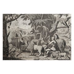
Original Antique Print after Jan Luyken, Amsterdam, Genesis II, 1724

Original Antique Print after Jan Luyken, Amsterdam, Genesis II, 1724

Located in St Annes, Lancashire

Wonderful copper-plate engraving after Jan Luyken Published by Marten Schagen, Amsterdam. 1724 Text on verso The measurement given is the paper size.

Category

Antique 1720s Dutch Renaissance Prints

Materials

Paper

Sandwich Islands Canoe (Hawaii): Framed 18th C. Engraving Captain Cook's Journal

Sandwich Islands Canoe (Hawaii): Framed 18th C. Engraving Captain Cook's Journal

By John Webber

Located in Alamo, CA

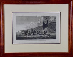
"A Canoe of the Sandwich Islands, the Rowers Masked" is an engraving created by Charles Grignion, from a drawing by John Webber (1752-1793), who was the artist on Captain James Cook's 3rd and final voyage of discovery. It is Plate 65 in the atlas of "A Voyage to the Pacific Ocean Undertaken by the Command of His Majesty, for Making Discoveries in the Northern Hemisphere", the official British Admiralty sanctioned journal published upon completion of the voyage in London in 1784 by Strahan & Cadell. This famous image of ten Hawaiian rowers transporting a priest who is carrying a feather-covered image of Kukailimoku, the Hawaiian god of war. The priests and paddlers are all wearing gourd masks in their double-hulled canoe with an upright lateen woven sail. Each hull was shaped from a single large Koa log harvested from island rainforests, where they were carved before being transported to the coast. This engraving is presented in a Koa wood frame and a white mat. There are occasional faint spots, but the print is otherwise in very good condition. Koa is the same wood as was used to make the canoe. Koa wood is legendary in Hawaii. Not only is this amazing wood native to Hawaii, but it is known for the deep rich colors and varied grain pattern. Koa has an honored heritage in Hawaii and is highly revered and sacred. The word “koa” means “warrior” in Hawaiian. The warriors of King Kamehameha the Great, created canoes and weapons from a wood plentiful on the Big Island of Hawaii. This wood became synonymous with the warriors themselves, and it became known as koa. The frame measures 20.75" high, 26.75" wide and 0.88" deep. There are three other engravings listed from the official journal of Captain Cook's 3rd voyage available that are presented in identical Koa wood frames and mat (LU117324682022, LU117324684052, LU117324684062). They would make a wonderful grouping for a display of 2, 3 or 4 prints. A discount is available for a grouping depending on the number of items included. Hawaii was discovered by Captain Cook (1728-1779) during this voyage. Hawaii was originally called The Sandwich Islands in honor of The Earl of Sandwich...

Category

1780s Landscape Prints
Materials

Engraving

Antique Voc Print Holland Malaysia Old Map Melaka History, 1663

Antique Voc Print Holland Malaysia Old Map Melaka History, 1663

Located in Amsterdam, Noord Holland

From my own collection I offer this impressive Antique print of the city of Malakka A very interesting piece for collectors . It is an museum piece from the Dutch Institute of Orien...

Category

Antique 17th Century European Paintings

Materials

Paper