Want more images or videos?
Request additional images or videos from the seller
1 of 10

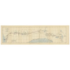
The Fateful Track of The Burke and Wills Expedition in Australia's Outback, 1862

$317.74
£235.45
€270VAT Included
CA$442.32
A$449.99
CHF 258.57
MX$5,411.16
NOK 3,018.76
SEK 3,036.84
DKK 2,058.76

About the Item

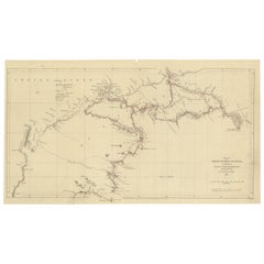
The map depicts the route of the Burke and Wills expedition, one of the most famous and tragic explorations in Australian history. This journey was the first to cross the Australian continent from south to north, starting in Melbourne and reaching the Gulf of Carpentaria. Led by Robert O'Hara Burke and William John Wills, the expedition set out in 1860 with the aim of opening up the interior for pastoral use and establishing a northern coastline for trade. However, due to a series of misfortunes and mistakes, both leaders perished on the return journey in 1861. The only surviving member of the expedition's leadership was John King, who was helped by the local Indigenous people. The expedition in more detail: The Burke and Wills expedition, formally known as the Victorian Exploring Expedition, was an ambitious undertaking to cross the Australian continent from south to north. It began in 1860, led by Robert O'Hara Burke and William John Wills, with the aim of charting a route from Melbourne in Victoria to the Gulf of Carpentaria in Queensland, which was believed to be Australia's inland sea, if it existed. The venture was well-funded and equipped with the latest technology, including camels for desert transport. Despite this, the expedition is often remembered as a tragic example of poor planning and leadership. Burke, who had no exploration experience, made several critical errors in decision-making and management. The expedition reached the Gulf of Carpentaria in February 1861, but the return journey was marred by misfortune. On their return, the main party was forced to leave supplies at Cooper Creek while Burke, Wills, King, and Gray attempted the final leg of the journey. Gray died along the way, and when Burke, Wills, and King reached the supply depot, they found it deserted, as the support team had waited longer than planned but finally left, believing the main party to be lost. Burke and Wills both died of malnutrition and exhaustion in the harsh environment. John King was the sole survivor of the leadership group, thanks to the aid of local Indigenous people. The expedition's aftermath led to public outcry over the perceived mismanagement and became a cautionary tale of exploration in Australia. Despite its tragic end, the Burke and Wills expedition is considered significant for the extensive scientific observations and surveys made, which contributed valuable knowledge of the Australian outback and its potential for agriculture and settlement.
  • Dimensions:
    Height: 15.75 in (40 cm)Width: 7.68 in (19.5 cm)Depth: 0.01 in (0.2 mm)
  • Materials and Techniques:
  • Period:
  • Date of Manufacture:
    1862
  • Condition:
    Good. Sharp print on very thin paper. Folds as issued. Tears in most folds, easy to repair or support with archival tape. Lower left margin cut short. Please study the images carefully.
  • Seller Location:
    Langweer, NL
  • Reference Number:
    Seller: BG-13699-51stDibs: LU3054338355962

More From This Seller

View All
Gregory's 1861 Expedition into the North West of Australia, 1862

Gregory's 1861 Expedition into the North West of Australia, 1862

Located in Langweer, NL

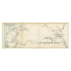
The map represents the route taken during F.T. Gregory's 1861 North West Australian Expedition. This exploration was a significant journey that took place over the Pilbara region, starting from the Ashburton River and extending to the Dampier Archipelago and the De Grey...

Category

Antique 1860s Prints

Materials

Paper

Charting the West: Surveyor General Roe’s Western Australian Expedition , 1852

Charting the West: Surveyor General Roe’s Western Australian Expedition , 1852

Located in Langweer, NL

This map is a historical document, focused on Western Australia. It illustrates the route of an expedition under Surveyor General Roe from Perth to Russell Range during 1848 and 1849...

Category

Antique 1850s Prints

Materials

Paper

Traversing the Volcanic Frontier: A South Australian Expedition of 1844

Traversing the Volcanic Frontier: A South Australian Expedition of 1844

Located in Langweer, NL

This is a historical document and part of a map and illustration from an expedition. The text indicates it is from South Australia to illustrate Governor G. Grey's Expedition in 1841...

Category

Antique 1840s Prints

Materials

Paper

The 4000km Exploration of Ernest Giles from Beltena to Perth, Australia in 1875

The 4000km Exploration of Ernest Giles from Beltena to Perth, Australia in 1875

Located in Langweer, NL

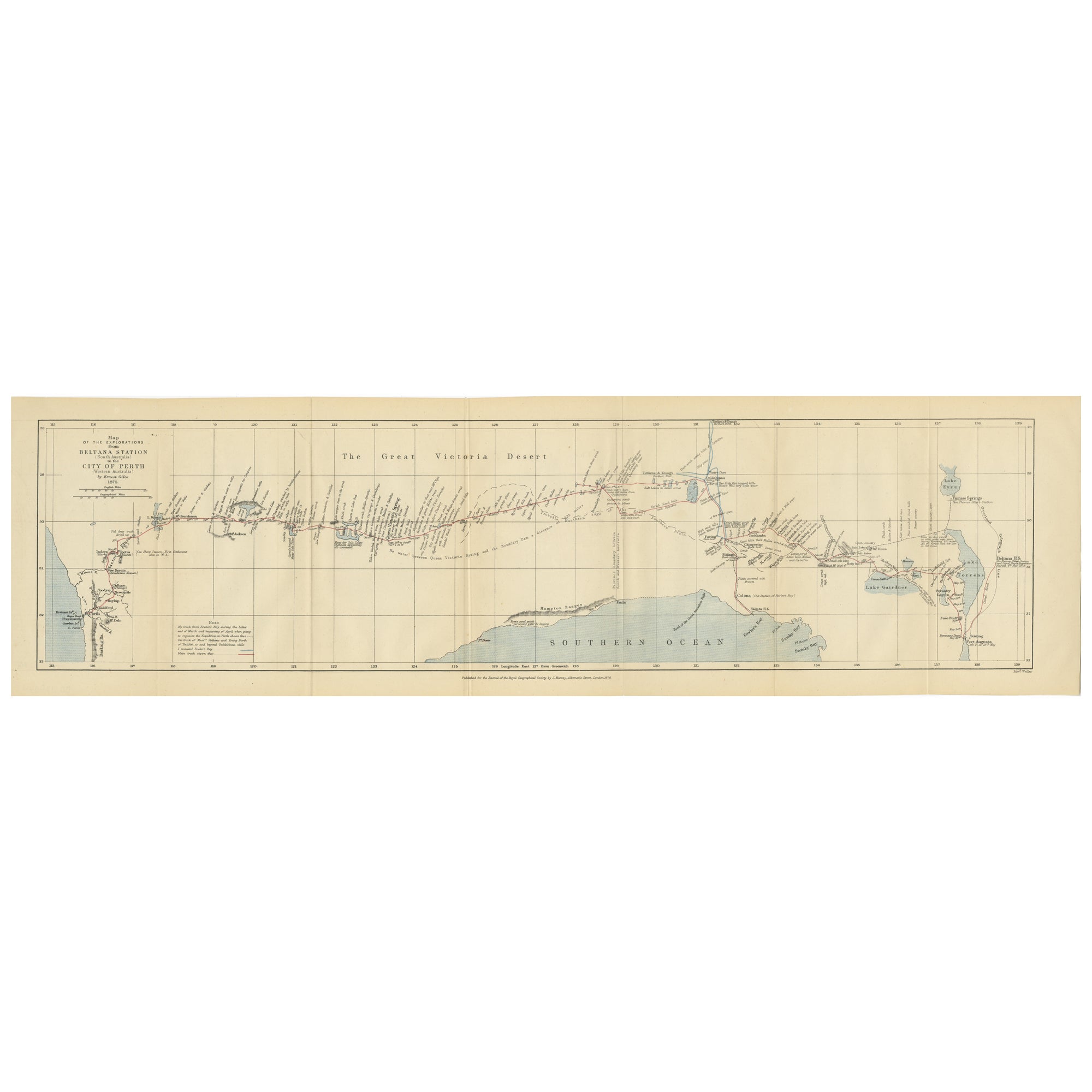
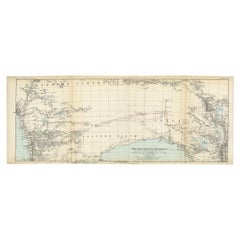
The map shows the route of the 1875 exploration led by Ernest Giles from Beltana Station in South Australia to the city of Perth in Western Australia. This was Giles' fourth and most...

Category

Antique 1870s Prints

Materials

Paper

Antique Exploration Map of Australia from Beltana to Perth, 1876

Antique Exploration Map of Australia from Beltana to Perth, 1876

Located in Langweer, NL

Antique map titled 'Thomas Elders' Expedition durch Inner-Australien von Beltana im Osten bis Perth im Western ausgefuhrt durch E. Giles (..)'. Old map of Australia from Bunbury to A...

Category

Antique 19th Century German Maps

Materials

Paper

You May Also Like

Ancient National Atlas of France Print, Engraved, Early 19th Century

Ancient National Atlas of France Print, Engraved, Early 19th Century

Located in Alessandria, Piemonte

Ancient National Atlas of France with the department of Marengo: a rare French etching dated 1806. ST/178.

Category

Antique Early 19th Century French Other Prints

Materials

Paper

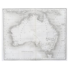
Original Antique Map of Australia by Dower, circa 1835

Original Antique Map of Australia by Dower, circa 1835

Located in St Annes, Lancashire

Nice map of Australia Drawn and engraved by J.Dower Published by Orr & Smith. C.1835 Unframed. Free shipping

Category

Antique 1830s English Maps

Materials

Paper

Large Original Antique Map of Australia by Sidney Hall, 1847

Large Original Antique Map of Australia by Sidney Hall, 1847

Located in St Annes, Lancashire

Great map of Australia Drawn and engraved by Sidney Hall Steel engraving Original colour outline Published by A & C Black. 1847 Unframed Free shipping.

Category

Antique 1840s Scottish Maps

Materials

Paper

1807 "A Map of the Country..." by Samuel Lewis, Revolutionary War Map

1807 "A Map of the Country..." by Samuel Lewis, Revolutionary War Map

Located in Colorado Springs, CO

Presented is “A Map of the Country from Rariton River in East Jersey to Elk Head in Maryland, Shewing the several Operations of the American and British Armies, in 1776 & 1777.”  The...

Category

Antique Early 1800s American Federal Maps

Materials

Paper

Original 1891 Walker Map

Original 1891 Walker Map

Located in Norwell, MA

Original 1891 map of Massachusetts by Walker. Towns include Cambridge, Boston, Dedham, Ashland, Brookline, Newton etc... burl wood frame. Measures...

Category

Antique 19th Century Maps

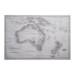
Ancient Map of Oceania - Original Etching - 19th century

Ancient Map of Oceania - Original Etching - 19th century

Located in Roma, IT

This Map of Oceania is an etching realized in the 19th century. The state of preservation of the artwork is good. At the top of the paper, the inscription “Longitudine del Meridiano...

Category

19th Century More Prints

Materials

Etching