Want more images or videos?
Request additional images or videos from the seller
1 of 10

Wind and Hurricane Map by A.K. Johnston – Meteorological Chart 1852

$305.26per item
£227.36per item
€260per itemVAT Included
CA$428.70per item
A$434.90per item
CHF 247.37per item
MX$5,283.58per item
NOK 2,909.22per item
SEK 2,919.31per item
DKK 1,982.85per item
Quantity

About the Item

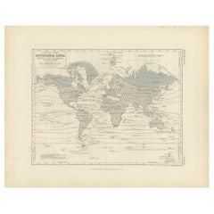
Wind and Hurricane Map by A.K. Johnston – Meteorological Chart 1852 This scientifically significant 1852 map titled "The Distribution of the Constant, Periodical & Variable Winds Over the Globe and the Regions Visited by Storms & Hurricanes" was produced by Alexander Keith Johnston and published by William Blackwood & Sons, Edinburgh and London. Issued as Plate 13 from Johnston’s acclaimed *Physical Atlas of Natural Phenomena*, this chart represents one of the earliest comprehensive visualizations of global wind patterns and storm activity. The map displays worldwide atmospheric circulation zones, including the trade winds, westerlies, monsoons, and polar winds. Shaded areas and directional arrows show the dominant wind flows across latitudes, while regions of calms, such as the doldrums and horse latitudes, are clearly marked. The map is divided into latitudinal climate bands, offering a framework that reveals how wind systems vary seasonally and geographically. Particularly notable are the detailed insets at the bottom, which highlight: * The course of the Rodriguez hurricane on 13 April 1843. * Seasonal monsoon shifts in the Indian Ocean. * The pattern of hurricanes in the West Indies. * Zones of equatorial and subtropical wind divergence. These inset diagrams combine observational data with early meteorological theory, helping to explain how storms originate and travel—an especially important concept during an era of global exploration and colonial maritime trade. Alexander Keith Johnston (1804–1871), Geographer in Ordinary to Queen Victoria in Scotland, was a key figure in the evolution of thematic mapping. His *Physical Atlas* was groundbreaking for its use of visual language to communicate complex environmental and scientific information. The map remains an important historical document in the study of meteorology and global climatology. This plate will appeal to collectors of early scientific prints, maritime history enthusiasts, and decorators seeking atmospheric, vintage cartographic works. Condition and framing tips: Very good condition with minor age toning and original centerfold as issued. Printed area clean and well preserved. Frame in a classic dark wood or black frame with an ivory, parchment, or pale tan mat to enhance the warm earth tones and precise linework. A unique and intelligent addition to a study, library, or natural history-themed space.
  • Dimensions:
    Height: 10.79 in (27.4 cm)Width: 13.59 in (34.5 cm)Depth: 0.01 in (0.2 mm)
  • Materials and Techniques:
  • Place of Origin:
  • Period:
  • Date of Manufacture:
    1852
  • Condition:
    Very good condition. Light overall toning near the margins. The paper remains strong and well-preserved. Folding line as issued.
  • Seller Location:
    Langweer, NL
  • Reference Number:
    Seller: BG-13207-131stDibs: LU3054345393452

More From This Seller

View All
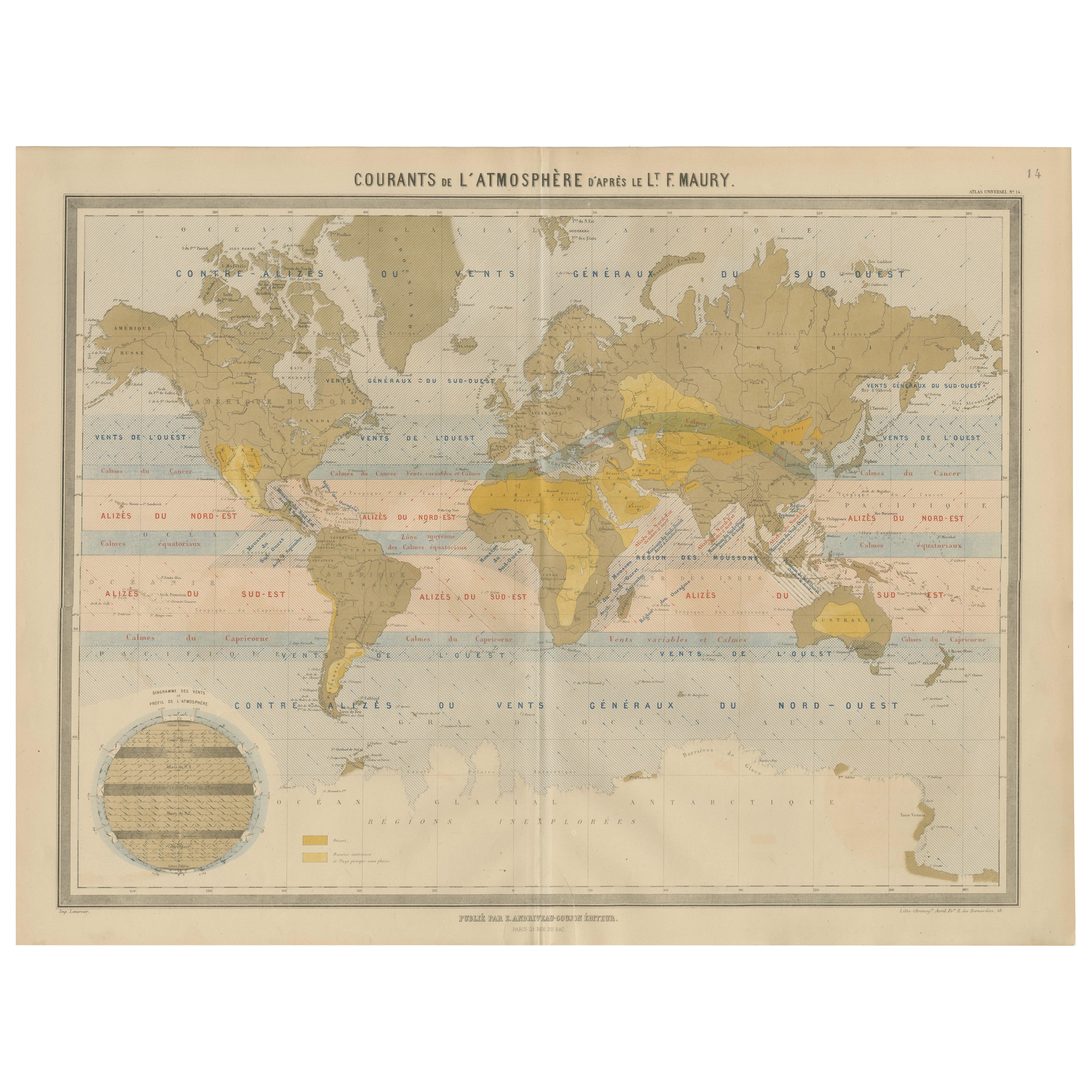
World Wind Currents Map – “Courants de l’Atmosphère” by Andriveau-Goujon, 1861

World Wind Currents Map – “Courants de l’Atmosphère” by Andriveau-Goujon, 1861

Located in Langweer, NL

World Wind Currents Map – “Courants de l’Atmosphère” by Andriveau-Goujon, 1861 This striking and educational antique chart titled “Courants de l’Atmosphère d’après le Lt. F. Maury” ...

Category

Antique Mid-19th Century French Maps

Materials

Paper
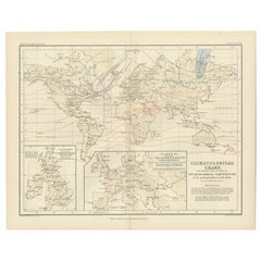
Climatological Map by A.K. Johnston – Global Temperatures Chart 1852

Climatological Map by A.K. Johnston – Global Temperatures Chart 1852

Located in Langweer, NL

Climatological Map by A.K. Johnston – Global Temperatures Chart 1852 This exceptional antique map titled "Climatological Chart Showing by Lines & Figures the Mean Annual Temperature...

Category

Antique Mid-19th Century Scottish Prints

Materials

Paper

Antique Map showing Isotherm Lines throughout the World by Johnston '1850'

Antique Map showing Isotherm Lines throughout the World by Johnston '1850'

Located in Langweer, NL

Antique map titled 'Humboldt's System of Isothermal Lines'. Original antique map showing isotherm lines throughout the world. This map originates from 'The Physical Atlas of Natural ...

Category

Antique Mid-19th Century Maps

Materials

Paper

River Systems Map of the World by A.K. Johnston – Educational Print 1852

River Systems Map of the World by A.K. Johnston – Educational Print 1852

Located in Langweer, NL

River Systems Map of the World by A.K. Johnston – Educational Print 1852 This striking 1852 map titled "The River Systems of the World" was created by the noted Scottish geographer ...

Category

Antique Mid-19th Century Scottish Prints

Materials

Paper

Antique Map Showing the Distribution of the Currents of Air by Johnston '1850'

Antique Map Showing the Distribution of the Currents of Air by Johnston '1850'

Located in Langweer, NL

Antique map titled 'Geographical Distribution of the Currents of Air'. Original antique map showing the distribution of the currents of air. This map originates from 'The Physical At...

Category

Antique Mid-19th Century Maps

Materials

Paper

You May Also Like

Original Antique Map of The World by Thomas Clerk, 1817

Original Antique Map of The World by Thomas Clerk, 1817

Located in St Annes, Lancashire

Great map of The Eastern and Western Hemispheres On 2 sheets Copper-plate engraving Drawn and engraved by Thomas Clerk, Edinburgh. Published by Mackenzie And Dent, 1817 ...

Category

Antique 1810s English Maps

Materials

Paper

Original Antique Map of The Western Hemisphere by Dower, circa 1835

Original Antique Map of The Western Hemisphere by Dower, circa 1835

Located in St Annes, Lancashire

Nice map of the Western Hemisphere Drawn and engraved by J.Dower Published by Orr & Smith. C.1835 Unframed. Free shipping

Category

Antique 1830s English Maps

Materials

Paper

1864 Original illustrated planisphere - World Map - Geography

1864 Original illustrated planisphere - World Map - Geography

Located in PARIS, FR

Immerse yourself in the epic journey of the past with the Illustrated Historical Planisphere of 1864 by Charpentier! 🗺️ This cartographic treasure transports you through the intrica...

Category

1860s Prints and Multiples

Materials

Linen, Paper, Lithograph

1850 Old French Map Depicting the Entire Earth's Surface Divided into Two Parts

1850 Old French Map Depicting the Entire Earth's Surface Divided into Two Parts

Located in Milan, IT

Geographical map depicting the entire earth's surface divided into two parts that correspond to the two hemispheres where the emerged lands are depicted which have been classified wi...

Category

Antique Mid-19th Century French Maps

Materials

Glass, Wood, Paper

Large Original Antique Map of The World, Fullarton, C.1870

Large Original Antique Map of The World, Fullarton, C.1870

Located in St Annes, Lancashire

Great map of the World. Showing both hemispheres From the celebrated Royal Illustrated Atlas Lithograph. Original color. Published by Fullarton, Edinburgh, C.1870 Unframed. Rep...

Category

Antique 1870s Scottish Maps

Materials

Paper

Original Antique Map of The World by Dower, circa 1835

Original Antique Map of The World by Dower, circa 1835

Located in St Annes, Lancashire

Nice map of the World Drawn and engraved by J.Dower Published by Orr & Smith. C.1835 Unframed. Free shipping

Category

Antique 1830s English Maps

Materials

Paper