Europe Maps

5,898 Results
to
2,283
5,901
245
5,899
2
62
52
21
12
4
2
2
2
2
1
1
2,955
2,484
460
2
332
26
15
115
3
25
4
4
6
2
10
1
5,847
78
67
25
21
1,926
596
346
303
183
5,901
5,901
5,901
102
57
27
20
15
Item Ships From: Europe
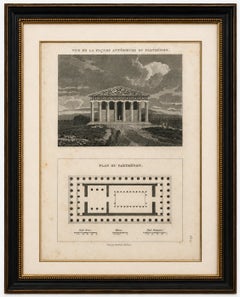
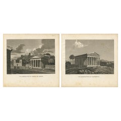
Set of Two Ancient Greek Temple Views, Parthenon and Theseion, Tardieu, 1825

Set of Two Ancient Greek Temple Views, Parthenon and Theseion, Tardieu, 1825

Located in Langweer, NL

Title: Set of Two Ancient Greek Temple Views, Parthenon and Theseion, Tardieu, 1825 Description: Set of two original antique engravings depicting two of the most celebrated temples ...

Category

1820s French Antique Europe Maps

Materials

Paper

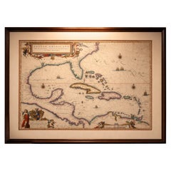
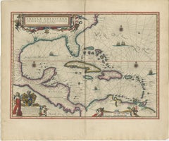
Important Blaeu Caribbean Map, West Indies, Decorative Atlas Chart, c.1642

Important Blaeu Caribbean Map, West Indies, Decorative Atlas Chart, c.1642

Located in Langweer, NL

An important and Highly Decorative Blaeu Caribbean Map, West Indies, Antique Atlas Chart, c1642 Description: An exceptional and highly decorative map of the Caribbean, titled Insula...

Category

Mid-17th Century Dutch Antique Europe Maps

Materials

Paper

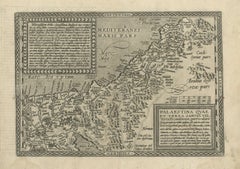
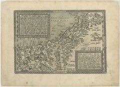
Rare 16th Century Map of the Holy Land and Palestine by Matthias Quad, ca.1599

Rare 16th Century Map of the Holy Land and Palestine by Matthias Quad, ca.1599

Located in Langweer, NL

Title: Rare 16th Century Map of the Holy Land and Palestine by Matthias Quad Description: This rare late sixteenth-century map titled Palaestina quae et Terra Sancta vel Terra Promi...

Category

16th Century German Antique Europe Maps

Materials

Paper

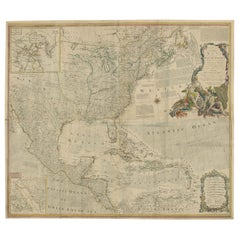
Rare Antique Wall-Map of North America: French and Indian War Boundaries, 1793

Rare Antique Wall-Map of North America: French and Indian War Boundaries, 1793

Located in Langweer, NL

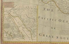
Rare 1793 Map of North America: French and Indian War Boundaries and Historical Notes This remarkable engraved map of North America, printed in 1793 by Emanuel Bowen and John Gibs...

Category

1790s Antique Europe Maps

Materials

Paper

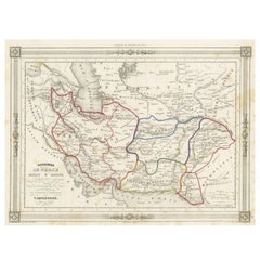
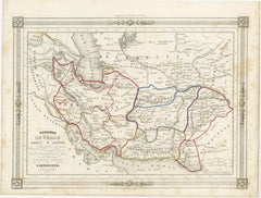
Persia Unveiled: Antique Map of Iran, Afghanistan, and Beyond, 1852

Persia Unveiled: Antique Map of Iran, Afghanistan, and Beyond, 1852

Located in Langweer, NL

The antique map titled 'Royaumes de Perse Herat & Kaboul' is an attractive map of Persia. Here are the key details and features of the map: 1. **Geographic Coverage**: - The map ...

Category

Mid-19th Century French Antique Europe Maps

Materials

Paper

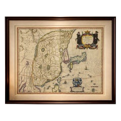
Antique Blaeu Map of China, Japan & Korea, Exotic Cartouches & Ships, c.1642

Antique Blaeu Map of China, Japan & Korea, Exotic Cartouches & Ships, c.1642

Located in Langweer, NL

Antique Blaeu Map of China, Japan & Korea, Exotic Cartouches & Ships, c.1642 A highly desirable and visually striking map of East Asia, centered on China and extending to Ko...

Category

Mid-17th Century Dutch Antique Europe Maps

Materials

Paper

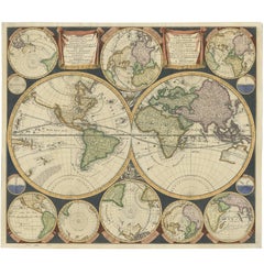
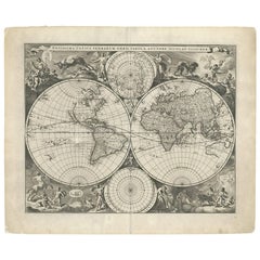
Antique World Map by P. Schenk '1706'

Antique World Map by P. Schenk '1706'

By Peter Schenk

Located in Langweer, NL

Antique map titled 'Diversa Orbis Terrae. Visu Incedente per Coluros Tropicorum, Ambos Ejus Polos, et Parciularis Sphaerae Zenith, in Planum Orthographica Projectio (..) Plat Ontwerp van verscheyde Aert-klooten (..)'. One of the earliest Dutch World Maps to focus on a more modern cartographic style, based on Carel Allard's map of 1696. This map represented a noteworthy shift from the traditional decorative Dutch 17th century maps where the margins would be full of classical mythological...

Category

Early 18th Century Antique Europe Maps

Materials

Paper

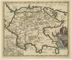
Antique Map of the Peloponnese – Peloponnesus, Morea, by Cluver, ca.1697

Antique Map of the Peloponnese – Peloponnesus, Morea, by Cluver, ca.1697

Located in Langweer, NL

Hellas seu Graecia Universa is a finely detailed late-17th-century map of Greece and the Aegean world, issued by Philipp Cluver around 1697 (possibly 1694). The map was published in ...

Category

Late 17th Century German Antique Europe Maps

Materials

Paper

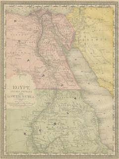
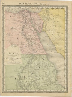
Egypt & Lower Nubia – Elegant Antique Atlas Map of the Nile, ca.1888

Egypt & Lower Nubia – Elegant Antique Atlas Map of the Nile, ca.1888

Located in Langweer, NL

Egypt & Lower Nubia – Elegant Antique Atlas Map of the Nile, ca.1888 This elegant antique atlas map presents Egypt and the Nile Valley in a refined, softly colored composition that feels timeless and architectural. The long vertical sweep of the Nile immediately draws the eye, flowing from the Mediterranean through Cairo and Upper Egypt toward Lower Nubia, framed by delicately engraved desert regions and subtle coastal shading along the Red Sea. Produced by Rand, McNally & Co. at the height of late-19th-century American atlas design, the map combines clarity with a restrained pastel palette that works exceptionally well in contemporary interiors. The balance between open desert spaces and the finely detailed river corridor gives the sheet a calm, almost meditative presence on the wall, making it particularly attractive for living rooms, studies, libraries, or hospitality settings. Cartographic details are crisp yet unobtrusive, allowing the overall composition to read as decorative rather than technical. The typography is elegant and evenly spaced, while the hand-colored regions add warmth without overpowering the design. When framed, the vertical format emphasizes the monumental scale of the Nile and creates a strong visual anchor in a room. A particularly appealing feature of this sheet is that the reverse side displays a decorative map of Africa, making it a versatile double-sided atlas leaf. This adds interest for collectors and interior designers alike, whether framed with visible margins, floated in a double-glazed frame, or appreciated as a historical object in a portfolio or drawer. Printed on original late-19th-century atlas paper, this map retains the authentic texture and presence expected of a period piece, offering both decorative impact and historical character without feeling heavy or academic. Condition report: Original atlas paper with light age toning consistent with period. Minor edge wear and gentle handling marks typical of bound atlas sheets. Overall well preserved with clean color and strong legibility. Framing tips: This map works beautifully in a light oak, walnut, or muted gold frame with an off-white or warm ivory mat. A tall vertical mat emphasizes the flow of the Nile and enhances the architectural feel. Museum glass is recommended to preserve the soft pastel tones. Technique: Color lithograph Maker: Rand, McNally & Co., United States, late 19th century Keywords: Egypt map, Nile map, Nile wall art, antique map of Egypt, decorative atlas map, Rand McNally map, antique Egypt wall art...

Category

Late 19th Century American Antique Europe Maps

Materials

Paper

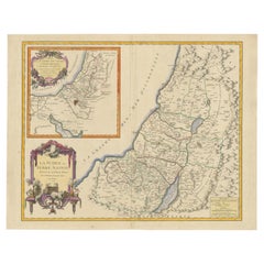
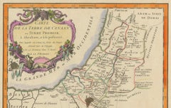
1750 Map of the Holy Land: The Land of Canaan and the Twelve Tribes

1750 Map of the Holy Land: The Land of Canaan and the Twelve Tribes

Located in Langweer, NL

Carte de la Terre de Canaan ou Terre Promise Cartographer: Le St. Robert Date of Publication: 1750 This exquisite 18th-century map, 'Carte de la Terre de Canaan ou Terre Promise', w...

Category

1750s French Antique Europe Maps

Materials

Paper

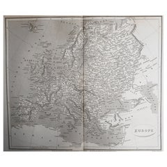
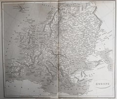
Original Antique Map of Europe, Arrowsmith, 1820

Original Antique Map of Europe, Arrowsmith, 1820

Located in St Annes, Lancashire

Great map of Europe Drawn under the direction of Arrowsmith. Copper-plate engraving. Published by Longman, Hurst, Rees, Orme and Brown, 1820 ...

Category

1820s English Antique Europe Maps

Materials

Paper

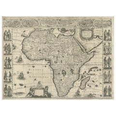
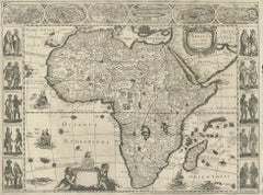
Antique Map of Africa by Janssonius, Rare Paneled Print, Circa 1655

Antique Map of Africa by Janssonius, Rare Paneled Print, Circa 1655

Located in Langweer, NL

Antique map titled 'Africa Nova Tabula Auct Jud. Hondio'. Beautiful and rare paneled map of Africa, Based Upon Hondius' map. The first derivative of the map was issued separately by ...

Category

Mid-17th Century Dutch Antique Europe Maps

Materials

Paper

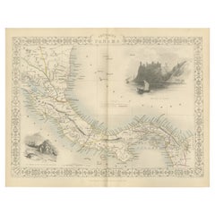
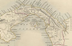
Crossroads of Empires: A John Tallis Map of the Isthmus of Panama, 1851

Crossroads of Empires: A John Tallis Map of the Isthmus of Panama, 1851

Located in Langweer, NL

The Tallis map of the Isthmus of Panama is a beautifully detailed work, characteristic of the maps produced by John Tallis & Company, which was one of the last cartographic firms to ...

Category

1850s Antique Europe Maps

Materials

Paper

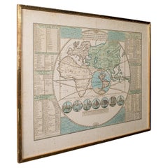
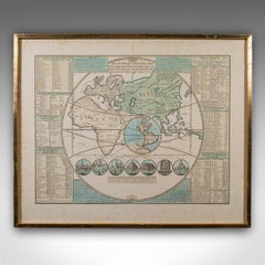
Antique Plan de l'Historie Universelle World Map, Framed Cartography, Circa 1730

Antique Plan de l'Historie Universelle World Map, Framed Cartography, Circa 1730

Located in Hele, Devon, GB

This is an antique Plan de l'Historie Universelle World Map. A Dutch, framed atlas engraving by Henri Abraham Chatelain, dating to the 18th century and later, circa 1730. Published...

Category

1730s Dutch George II Antique Europe Maps

Materials

Glass, Paper

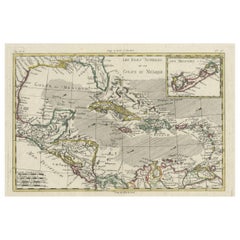
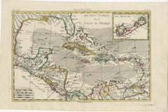
Original Engraving of the West Indies, Gulf of Mexico, Antilles, Caribbean, 1780

Original Engraving of the West Indies, Gulf of Mexico, Antilles, Caribbean, 1780

Located in Langweer, NL

Rigobert Bonne and G. Raynal's 1780 map of the West Indies, Gulf of Mexico, Antilles, and the Caribbean stands as a remarkable cartographic piece, offering a detailed and expansive v...

Category

Late 18th Century French Antique Europe Maps

Materials

Paper

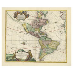
Antique Map of America with California as an Island by Homann '1710'

Antique Map of America with California as an Island by Homann '1710'

Located in Langweer, NL

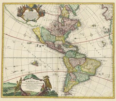
This antique map, titled "Totius Americae Septentrionalis et Meridionalis," represents a significant cartographic piece from 1710 by Johann Baptist Homann. Here's a description of this remarkable map: - Title: Totius Americae Septentrionalis et Meridionalis (...) - Date: Published in 1710 by Johann Baptist Homann. Description: This map is a first edition of Johann Baptiste Homann's map of America, and it is notable for several cartographic features and historical representations: 1. California as an Island...

Category

Early 18th Century Antique Europe Maps

Materials

Paper

Antique Map 'Colored Cartouches' of the British Isles by Covens & Mortier ‘1761’

Antique Map 'Colored Cartouches' of the British Isles by Covens & Mortier ‘1761’

By Covens & Mortier

Located in Langweer, NL

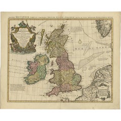
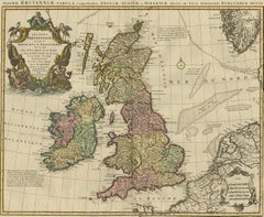
Covens and Mortier's attractive double-page engraved map of the British Isles, based on the 1702 De L'Isle map. The map features a large car...

Category

Late 18th Century Antique Europe Maps

Materials

Paper

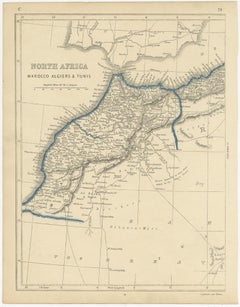
Antique Map of North Africa by Lowry '1852'

Antique Map of North Africa by Lowry '1852'

Located in Langweer, NL

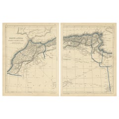
Antique map titled 'North Africa Marocco Algiers & Tunis'. Two individual sheets of North Africa. This map originates from 'Lowry's Table Atlas constructed and engraved from the most...

Category

Mid-19th Century Antique Europe Maps

Materials

Paper

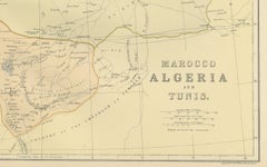
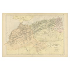
Morocco, Algeria and Tunis, Antique Map of North Africa, Blackie, 1882

Morocco, Algeria and Tunis, Antique Map of North Africa, Blackie, 1882

Located in Langweer, NL

The maps is from the 1882 atlas by Blackie & Son and offers a detailed view of the North African regions as understood in the late 19th century. Map of Morocco, Algeria, and Tunis...

Category

1880s British Antique Europe Maps

Materials

Paper

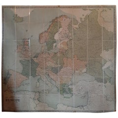
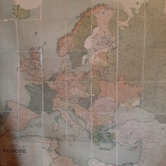
Large Wall Map of Europe by George Philip & Son, circa 1920

Large Wall Map of Europe by George Philip & Son, circa 1920

Located in Langweer, NL

Antique map titled 'Philips' New Commercial Map of Europe'. Very large wall map of Europe including the North African coast and Turkey. Decorative bord...

Category

Early 20th Century British Europe Maps

Materials

Linen, Paper

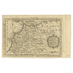
Antique Map of the Empire of Morocco by Kitchin, c.1760

Antique Map of the Empire of Morocco by Kitchin, c.1760

By Thomas Kitchin

Located in Langweer, NL

Antique map titled 'A Map of the Empire of Morocco Comprehending the Kingdoms of Fez, Morocco'. Original antique map of the kingdoms of Fez, Algiers, Segelmese, Tafilet and Morocco. ...

Category

18th Century British Antique Europe Maps

Materials

Paper

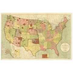
Antique Map Showing the Locations of Native American Tribes in 1899

Antique Map Showing the Locations of Native American Tribes in 1899

Located in Langweer, NL

Antique map titled 'Map showing the Indian Reservations within the Limits of the United States'. Large folding map of the United States showing the Indian Reservations. The present m...

Category

Late 19th Century Antique Europe Maps

Materials

Paper

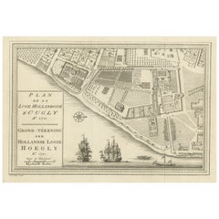
Original Antique Plan of the Dutch Settlement at Chinsura-Hooghly, India, 1746

Original Antique Plan of the Dutch Settlement at Chinsura-Hooghly, India, 1746

Located in Langweer, NL

Antique print, titled: 'Plan de la Loge Hollandoise d'Ougly'. A plan of the Dutch settlement at Chinsura-Hooghly, India. This print originates from Prevost's 'Histoire Generale d...

Category

1740s Dutch Antique Europe Maps

Materials

Paper

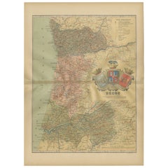
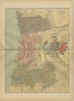
Douro: The River of Tradition and Wine in Portugal, 1903

Douro: The River of Tradition and Wine in Portugal, 1903

Located in Langweer, NL

The uploaded image is a historical map of the Beira Baixa region in Portugal. The map details the topography, including mountain ranges and river systems, as well as the transportati...

Category

Early 1900s Spanish Antique Europe Maps

Materials

Paper

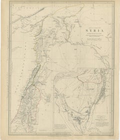
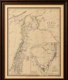
Ancient Syria Map Including Palestine, Jerusalem & Mount Sinai, 1843

Ancient Syria Map Including Palestine, Jerusalem & Mount Sinai, 1843

Located in Langweer, NL

Ancient Syria Map Including Palestine, Jerusalem & Mount Sinai, 1843 A highly detailed and historically evocative antique map titled “Ancient Syria,” published in London in 1843 und...

Category

Early 20th Century British Europe Maps

Materials

Paper

Antique Holy Land Map, Twelve Tribes of Israel – Covens & Mortier, c.1700

Antique Holy Land Map, Twelve Tribes of Israel – Covens & Mortier, c.1700

Located in Langweer, NL

Antique Holy Land Map, Twelve Tribes of Israel – Covens & Mortier, c.1700 Description: This finely engraved early 18th-century map depicts the Holy Land divided according to the...

Category

Early 18th Century French Antique Europe Maps

Materials

Paper

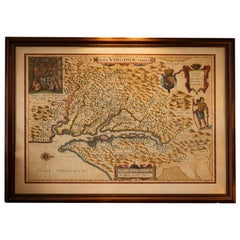
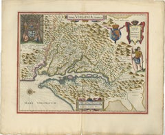
Antique Virginia Map Blaeu c.1642 – Jamestown, Powhatan, Chesapeake

Antique Virginia Map Blaeu c.1642 – Jamestown, Powhatan, Chesapeake

Located in Langweer, NL

Antique Virginia Map Blaeu c.1642 – Jamestown, Powhatan, Chesapeake One of the most desirable early maps of colonial America, this striking Blaeu engraving captures Virginia and the...

Category

Mid-17th Century Dutch Antique Europe Maps

Materials

Paper

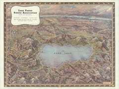
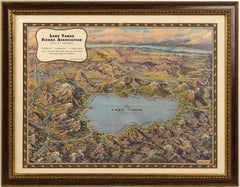
Vintage Lake Tahoe Bird’s-Eye View Pictorial Map by Gerald A. Eddy, circa 1945

Vintage Lake Tahoe Bird’s-Eye View Pictorial Map by Gerald A. Eddy, circa 1945

Located in Langweer, NL

Vintage Lake Tahoe Bird’s-Eye View Pictorial Map by Gerald A. Eddy, circa 1945 DESCRIPTION: Original vintage pictorial map of Lake Tahoe and the surrounding Sierra Nevada, painted b...

Category

Mid-20th Century American Mid-Century Modern Europe Maps

Materials

Paper

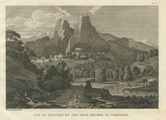
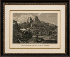
Antique View of Delphi and the Rocks of Mount Parnassus, Tardieu, 1825

Antique View of Delphi and the Rocks of Mount Parnassus, Tardieu, 1825

Located in Langweer, NL

Title: Antique View of Delphi and the Rocks of Mount Parnassus, Tardieu, 1825 Description: Original antique engraved view of Delphi and Mount Parnassus in Greece, engraved by Ambroi...

Category

1820s French Antique Europe Maps

Materials

Paper

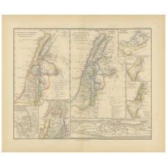
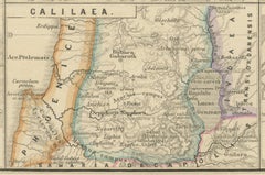
Levant in Antiquity: Lands of Phoenicia, Judea, and Neighboring Kingdoms, 1880

Levant in Antiquity: Lands of Phoenicia, Judea, and Neighboring Kingdoms, 1880

Located in Langweer, NL

The map is titled "PHOENICE, COELESYRIA, IDUMAEA, JUDAEA MACCABAEORUM TEMPORE," which translates to "Phoenicia, Coele-Syria, Idumea, Judea at the Time of the Maccabees." This origi...

Category

1880s Antique Europe Maps

Materials

Paper

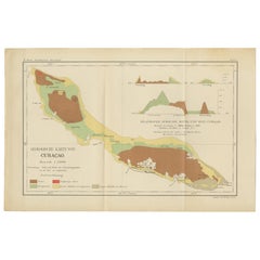
Antique Geological Map of Curaçao - Hand Colored Dutch Caribbean, 1888

Antique Geological Map of Curaçao - Hand Colored Dutch Caribbean, 1888

Located in Langweer, NL

Geological Map of Curaçao 1888 Dutch West Indies by Karl Martin This exceptionally detailed geological map of Curaçao was published in 1888 as part of Karl Martin’s landmark scienti...

Category

1880s German Antique Europe Maps

Materials

Paper

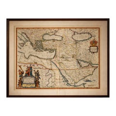
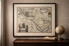
Blaeu Ottoman Empire Map, Turcicum Imperium, Figural Cartouche, 1642

Blaeu Ottoman Empire Map, Turcicum Imperium, Figural Cartouche, 1642

Located in Langweer, NL

Blaeu Ottoman Empire Map, Turcicum Imperium, Figural Cartouche, 1642 A striking and highly decorative Blaeu map of the Ottoman Empire, “Turcicum Imperium” (1642), capturing the empi...

Category

Mid-17th Century Dutch Antique Europe Maps

Materials

Paper

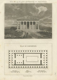
Antique Architectural Print of the Parthenon, Athens, Tardieu, 1825

Antique Architectural Print of the Parthenon, Athens, Tardieu, 1825

Located in Langweer, NL

Title: Antique Architectural Print of the Parthenon, Athens, Tardieu, 1825 Description: Original antique architectural engraving of the Parthenon in Athens, combining a reconstructe...

Category

1820s French Antique Europe Maps

Materials

Paper

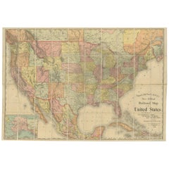
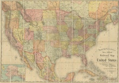
Antique Railroad Map of the United States by Rand, McNally & Co, 1900

Antique Railroad Map of the United States by Rand, McNally & Co, 1900

Located in Langweer, NL

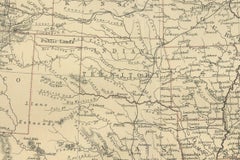
Antique map titled 'Rand, McNally & Co's New Official Railroad map of the United States with portions of The Dominion of Canada, The Republic of Mexico and the West Indies'. Large railroad map of the United States, sectionalised and laid on linen. Map shows state boundaries for the United States, Mexico, the West Indies, and lower portion of Canada; major cities and towns, military posts, Native American reservations, and railroads; Oklahoma and "Indian Territory." Inset: "Map of Alaska...

Category

20th Century Europe Maps

Materials

Linen, Paper

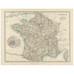
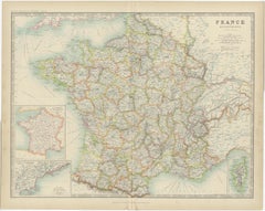
Antique Map of France, 1903, with Inset of Paris and Corsica

Antique Map of France, 1903, with Inset of Paris and Corsica

Located in Langweer, NL

Title: Antique Map of France, 1903, with Inset of Paris and Corsica Description: This antique map, titled "France," was engraved and published in 1903 by the renowned W. & A.K. John...

Category

Early 20th Century Europe Maps

Materials

Paper

Mediterranean, Black Sea & Ottoman Empire Map 1853

Mediterranean, Black Sea & Ottoman Empire Map 1853

Located in Langweer, NL

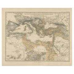
Mediterranean, Black Sea & Ottoman Empire Map 1853 This impressive antique print shows the Mediterranean and Black Sea regions with a focus on the Ottoman Empire, titled “Das Mittel...

Category

Mid-19th Century German Antique Europe Maps

Materials

Paper

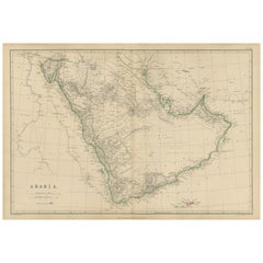
Arabia, Antique Map of the Arabian Peninsula, Blackie Atlas 1860

Arabia, Antique Map of the Arabian Peninsula, Blackie Atlas 1860

Located in Langweer, NL

Arabia, Antique Map of the Arabian Peninsula, Blackie Atlas 1860 Description: This original antique map titled Arabia presents a detailed mid-19th-century cartographic view of the A...

Category

Mid-19th Century British Antique Europe Maps

Materials

Paper

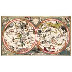
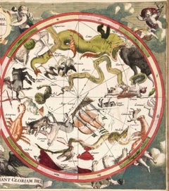
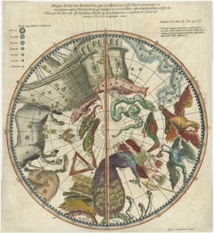
1711 Star Chart of Southern Sky with Mythical Constellations and Exotic Animals

1711 Star Chart of Southern Sky with Mythical Constellations and Exotic Animals

Located in Langweer, NL

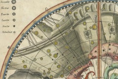
1711 Star Chart of the Southern Sky - "Mappa Stellarum Australium quae in Altitudine Poli Borei Graduum" This beautiful star chart, engraved by Arnold van Westerhout in 1711, shows ...

Category

1710s Belgian Antique Europe Maps

Materials

Paper

1874 Map of Western United States – Detailed Atlas by Keith Johnston

1874 Map of Western United States – Detailed Atlas by Keith Johnston

Located in Langweer, NL

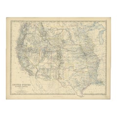
1874 Map of Western United States by Keith Johnston – Detailed Atlas This is an original antique map titled “United States of North America (Western States)” by Alexander Keith John...

Category

1870s Scottish Antique Europe Maps

Materials

Paper

Antique Map of Palestine and the Holy Land – Lapie, Paris, 1838

Antique Map of Palestine and the Holy Land – Lapie, Paris, 1838

Located in Langweer, NL

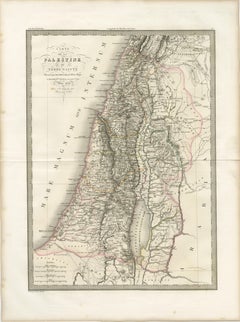
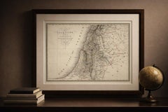
Antique Map of Palestine and the Holy Land – Lapie, Paris, 1838 This elegant and finely engraved map of Palestine, titled Carte de la Palestine ou Terre Sainte, was published in Paris in 1838 as part of the celebrated Atlas Universel de Géographie Ancienne et Moderne by the distinguished French cartographer M. Lapie. It presents a detailed and scholarly depiction of the Holy Land, a region of profound historical, religious, and cultural significance. The map encompasses the eastern Mediterranean coastline, extending inland across the varied topography of Palestine and surrounding regions. The Dead Sea (Lac Asphaltite) is prominently depicted, along with the Jordan River running north to south, anchoring the composition both geographically and visually. Major biblical and historical locations—such as Jerusalem, Jericho, Bethlehem, Nazareth, and Hebron—are carefully marked, reflecting the strong 19th-century European interest in biblical geography and pilgrimage landscapes. Lapie’s cartographic approach balances clarity with refinement. Mountain ranges are rendered with delicate hachuring, conveying the rugged terrain of the region, while subtle hand coloring distinguishes administrative or historical divisions without overwhelming the composition. The Mediterranean Sea (Mare Internum) frames the western edge, adding visual balance to the vertically oriented sheet. The engraving was executed by Pierre Antoine Tardieu, a member of the renowned Tardieu family of French engravers, known for their precision and contribution to scientific and cartographic works. His refined linework ensures exceptional readability and lends the map an understated elegance characteristic of high-quality French atlas production of the period. This map functions both as a scholarly representation of biblical lands and as a refined decorative piece. Its vertical format makes it particularly suitable for display in narrower wall spaces, such as between windows or within a gallery arrangement. It would appeal to collectors of historical cartography, as well as those with an interest in religious history and the geography of the ancient Near East. Condition: Very good condition overall. Light toning consistent with age and a central fold as issued. Margins are wide and clean. Minor spotting in places. No significant tears or restorations observed. Plate mark visible. Framing tips: This piece would display beautifully in a dark walnut or ebonized frame with a wide ivory or off-white mat, enhancing its classical and historical character. For a more contemporary look, a slim black frame with a floating mount can create a clean and sophisticated presentation. Technique: Engraving with original hand coloring Maker: M. Lapie, engraved by Pierre Antoine Tardieu, Paris, 1838 Keywords: Palestine, Holy Land, Terre Sainte, Jerusalem, Dead Sea, Jordan River, Bethlehem, Nazareth, Hebron, Jericho, biblical geography, Near East, Middle East, Levant, Mediterranean Sea, Mare Internum, ancient geography, religious maps, historical cartography, 19th century map, French cartography, Atlas Universel, Lapie map, Tardieu engraving, antique map Palestine...

Category

Early 19th Century French Antique Europe Maps

Materials

Paper

Hibernia Regnum Map by Carel Allard, 1700: Hand-Colored Provinces of Ireland

Hibernia Regnum Map by Carel Allard, 1700: Hand-Colored Provinces of Ireland

Located in Langweer, NL

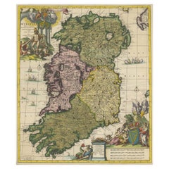
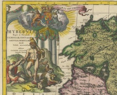
This is a historical map of Ireland created by Carel Allard around 1700, titled "Hibernia Regnum in Quatuor Provincias Ultoniam, Connaciam, Lageniam, et Momoniam". The map is hand-colored and engraved. It includes two large decorative cartouches. The map is part of an atlas by Carel Allard, an Amsterdam-based cartographer. Here are the detailed points about the map: Maker: Carel Allard - a prominent Dutch cartographer and publisher from Amsterdam. Atlas: Source Atlas - Likely part of an atlas published by Carel Allard, but specific title of the atlas isn't mentioned. Interesting Features 1. Decorative Cartouches: The map features two large, ornate cartouches. One in the upper left depicts a classical figure and British Royal arms...

Category

Early 1700s Antique Europe Maps

Materials

Paper

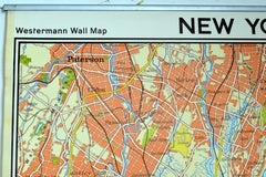
Vintage Wall Chart New York City Urban Map, USA 1950s

Vintage Wall Chart New York City Urban Map, USA 1950s

Located in Stockholm, SE

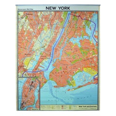
A classical wall chart showing a map of the city of New York. published by Westermann and with English text. Used as teaching material in Swedish schools. colorful print on paper rei...

Category

1950s German Vintage Europe Maps

Materials

Metal

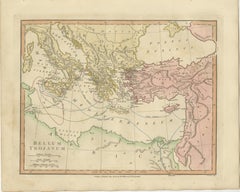
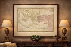
Antique Trojan War Map – Bellum Trojanum Mediterranean, Wilkinson 1815

Antique Trojan War Map – Bellum Trojanum Mediterranean, Wilkinson 1815

Located in Langweer, NL

Title: Antique Trojan War Map – Bellum Trojanum Mediterranean, Wilkinson 1815 This finely engraved and delicately hand-colored antique map titled Bellum Trojanum (The Trojan War) presents the eastern Mediterranean world as understood through the legendary narratives of Homer’s Iliad and Odyssey. Published in London in 1815 by the respected British cartographer and publisher Robert Wilkinson, the map formed part of his scholarly Atlas Classica, an atlas created to illustrate the lands and geography described by ancient Greek and Roman authors. Wilkinson’s Atlas Classica was produced during a period of intense European fascination with classical antiquity. Educators, historians, and scholars sought visual tools to accompany the study of Homer, Virgil, Herodotus, and other ancient writers. This map reflects that intellectual movement by reconstructing the geography of the Mediterranean as it related to the events of the Trojan War and the legendary journeys of the heroes who emerged from it. The map spans the eastern Mediterranean basin, extending from southern Italy and Sicily in the west across Greece, the Aegean Sea, and Asia Minor to the Levant and Syria in the east. The Black Sea (Pontus Euxinus) appears in the northeast, while North Africa and the coast of Libya are visible to the south. Classical place names appear throughout the map, including Italia, Sicilia, Graecia, Macedonia, Thracia, Asia Minor, Phrygia, Lydia, and Syria. The famous site of Troy is shown on the northwestern coast of Asia Minor near the Dardanelles. A particularly fascinating feature of the map is the network of curved routes drawn across the Mediterranean Sea. These lines trace the legendary voyages of figures associated with the Trojan War cycle. Among them are the journeys of Aeneas following the fall of Troy, the travels of Telemachus searching for his father, and the long wanderings of Odysseus (Ulysses) as described in the Odyssey. These routes connect famous locations such as Troy, Crete, Sicily, Carthage, and the shores of Greece and Italy, transforming the map into a visual narrative of classical mythology. The engraving is precise and elegant, typical of late eighteenth-century British cartography. The map was engraved by E. Bourne, whose fine line work and careful lettering give the sheet a refined and scholarly appearance. Subtle contemporary hand coloring highlights the ancient regions and coastlines, adding visual clarity and decorative charm. Today the map appeals not only to collectors of antique cartography but also to those interested in classical literature, mythology, and the history of ancient Mediterranean civilizations. It provides a striking visual interpretation of the epic journeys that have shaped Western storytelling for more than two millennia. This example is an original antique map printed in 1798 and hand-colored at the time of publication. It is not a modern reproduction. Any presentation images showing the map framed are for visual inspiration only. The map is supplied unframed. Condition: Good antique condition with attractive original hand coloring. Light age toning and minor handling marks consistent with age. The sheet retains generous margins suitable for framing. Framing tips: This map frames beautifully in a dark walnut or ebonized wood frame with a generous ivory or museum-white mat. A double mat with a subtle gold inner fillet complements the warm tones of the antique paper and highlights the elegant engraving. Such a presentation works particularly well in a study, library, or classical interior setting. Keyword block: Bellum Trojanum, Trojan War map, Homer Iliad map, Odyssey map, ancient Greece map, ancient Mediterranean map, Troy map, Aeneas voyage, Odysseus voyage, Ulysses route, Telemachus journey, Atlas Classica map, Robert Wilkinson map, London 1798 map, Pontus Euxinus, Black Sea map, Aegean Sea map, Mediterranean Sea map, Sicilia, Italia, Graecia, Macedonia, Thracia, Asia Minor, Phrygia, Lydia, Syria, Crete, Carthage, Libya, ancient mythology map, classical geography map, Homeric geography, antique Mediterranean map...

Category

Early 19th Century British Antique Europe Maps
Materials

Paper

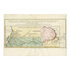
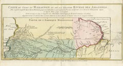
Map of the Amazon River's Course and Surrounding Regions (1743-1744)

Map of the Amazon River's Course and Surrounding Regions (1743-1744)

Located in Langweer, NL

This original antique map, titled "Carte du Cours du Maragnon ou de la Grande Riviere des Amazones," illustrates the course of the Amazon River (referred to here as the Maragnon) fro...

Category

1750s Antique Europe Maps

Materials

Paper

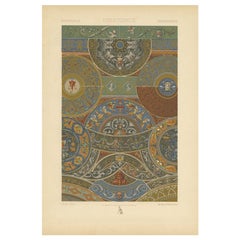
Pl. 50 Antique Print of Decorative Art in the Renaissance Period by Racinet, 1869

Pl. 50 Antique Print of Decorative Art in the Renaissance Period by Racinet, 1869

Located in Langweer, NL

Old print of decorative art in the Renaissance period. This print originates from 'L'Ornement polychrome'. A beautiful work containing about 2000 patterns of all the styles of Art ol...

Category

19th Century Antique Europe Maps

Materials

Paper

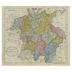
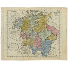
Antique Map of Germany, the Netherlands, Bohemia, Bavaria and Switzerland, 1785

Antique Map of Germany, the Netherlands, Bohemia, Bavaria and Switzerland, 1785

Located in Langweer, NL

Antique map titled 'Germany and the Netherlands from the latest authorities'. Depicts Germany, the Netherlands and the surrounding region including Bohemia, Bavaria, and Switzerland....

Category

18th Century Antique Europe Maps

Materials

Paper

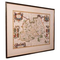
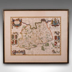
Antique Map of Surrey, English, Framed County Cartography, After Blaeu, C.1690

Antique Map of Surrey, English, Framed County Cartography, After Blaeu, C.1690

Located in Hele, Devon, GB

This is an antique map of Surrey. An English, framed cartography engraving by Willem Janszoon Blaeu, this centre fold edition dating to the William & Mary period, circa 1690. A fine...

Category

1690s British William and Mary Antique Europe Maps

Materials

Glass, Paper

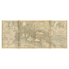
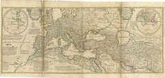
Rare 1730 Roman Empire Map by Moll - Detailed and Engraved Masterpiece

Rare 1730 Roman Empire Map by Moll - Detailed and Engraved Masterpiece

Located in Langweer, NL

An Historical Map of the Roman Empire and the Neighbouring Barbarous Nations by Herman Moll - Circa 1730 This grand and historically significant map of the Roman Empire was create...

Category

1730s German Antique Europe Maps

Materials

Paper

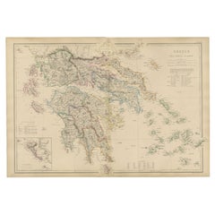
Greece & Ionian Islands Map, Antique Hand-Colored Map, 1860

Greece & Ionian Islands Map, Antique Hand-Colored Map, 1860

Located in Langweer, NL

Greece & Ionian Islands Map, Antique Hand-Colored Map, 1860 This elegant antique map depicts Greece together with the Ionian Islands, presenting the country’s political and geograph...

Category

Mid-19th Century British Antique Europe Maps
Materials

Paper

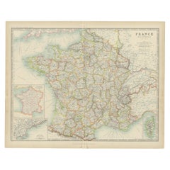
Antique Map of France by Johnston (1909)

Antique Map of France by Johnston (1909)

Located in Langweer, NL

Antique map titled 'France'. Original antique map of France. With inset maps of France in provinces, part of the Riviera and Corsica. This map or...

Category

Early 20th Century Europe Maps

Materials

Paper

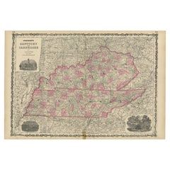
Civil War Era Map of Kentucky and Tennessee with Scenic Insets, Published 1864

Civil War Era Map of Kentucky and Tennessee with Scenic Insets, Published 1864

Located in Langweer, NL

Rare 1864 Civil War Era Map of Kentucky and Tennessee with Scenic Insets Description: This stunning antique map, titled "Johnson's Kentucky and Tennessee," was published in 1864 by ...

Category

1860s Antique Europe Maps

Materials

Paper

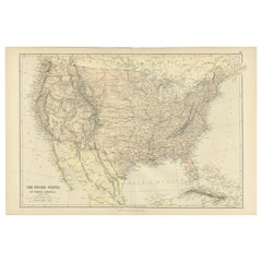
Antique Map of The United States of North America, 1882

Antique Map of The United States of North America, 1882

Located in Langweer, NL

This is a historical map titled "The United States of North America, Central Part" from the 1882 Blackie Atlas. It depicts the continental United States with a high level of detail, ...

Category

1880s British Antique Europe Maps
Materials

Paper

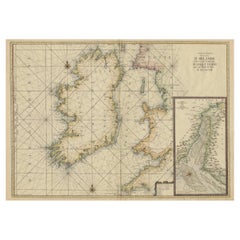
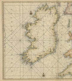
Large 1693 Maritime Map of Irish Sea, West Coasts of Ireland, England, Scotland

Large 1693 Maritime Map of Irish Sea, West Coasts of Ireland, England, Scotland

Located in Langweer, NL

This large late-17th-century sea chart is titled *Carte Générale des Costes d’Irlande, et des Costes Occidentales d’Angleterre avec une Partie de celles d’Ecosse*, showing the entire...

Category

1690s French Antique Europe Maps
Materials
Paper