Want more images or videos?
Request additional images or videos from the seller
1 of 5

Frederick de Wit
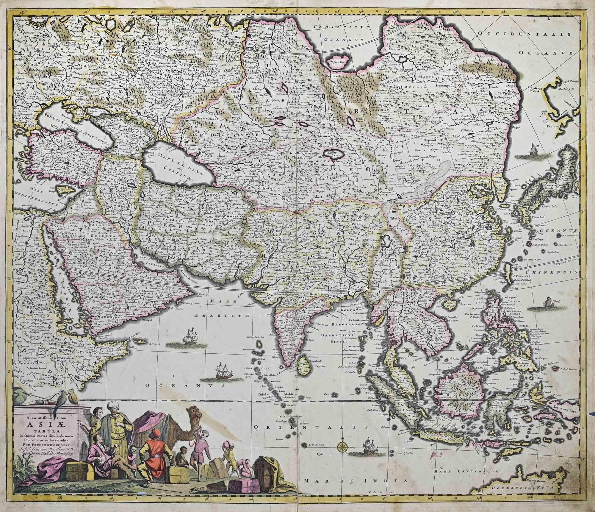
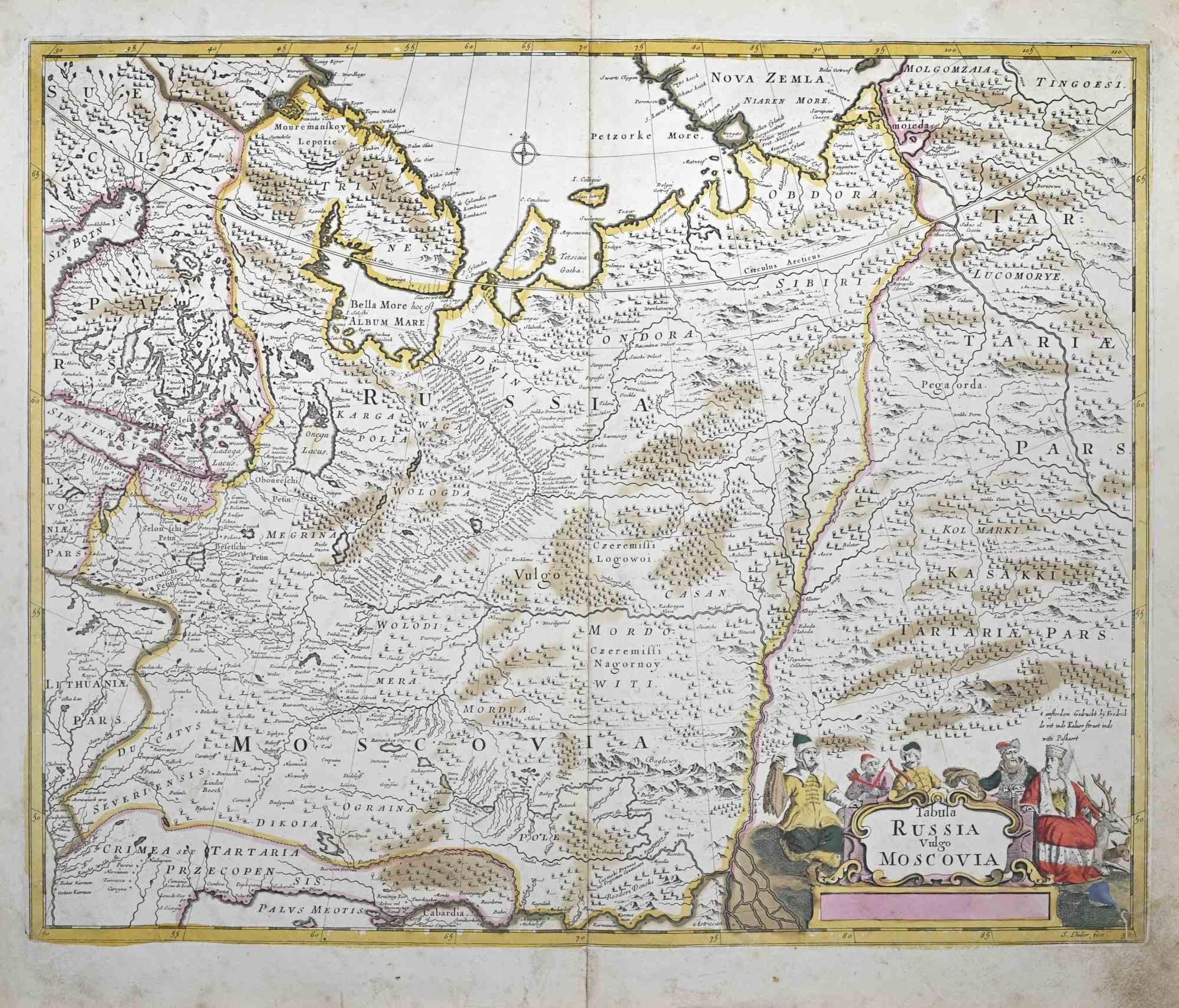
Magnae Tartariae - Etching by Frederick de Wit - 1680ca

1680 ca

$1,292.93
£961.07
€1,100VAT Included
CA$1,812.51
A$1,840.46
CHF 1,050.63
MX$22,238.82
NOK 12,341.40
SEK 12,307.72
DKK 8,387.85

About the Item

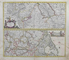
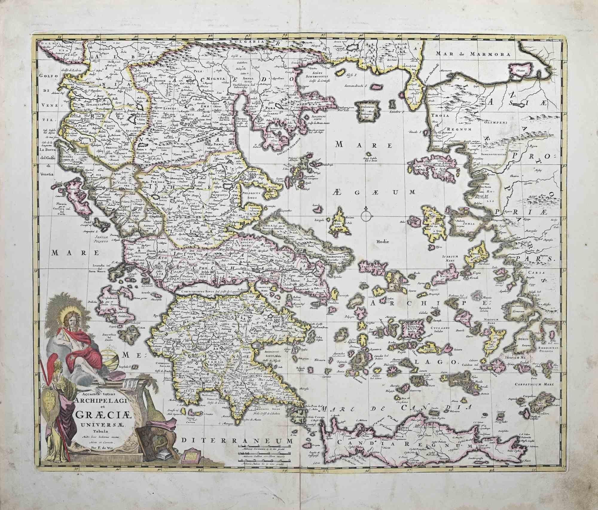
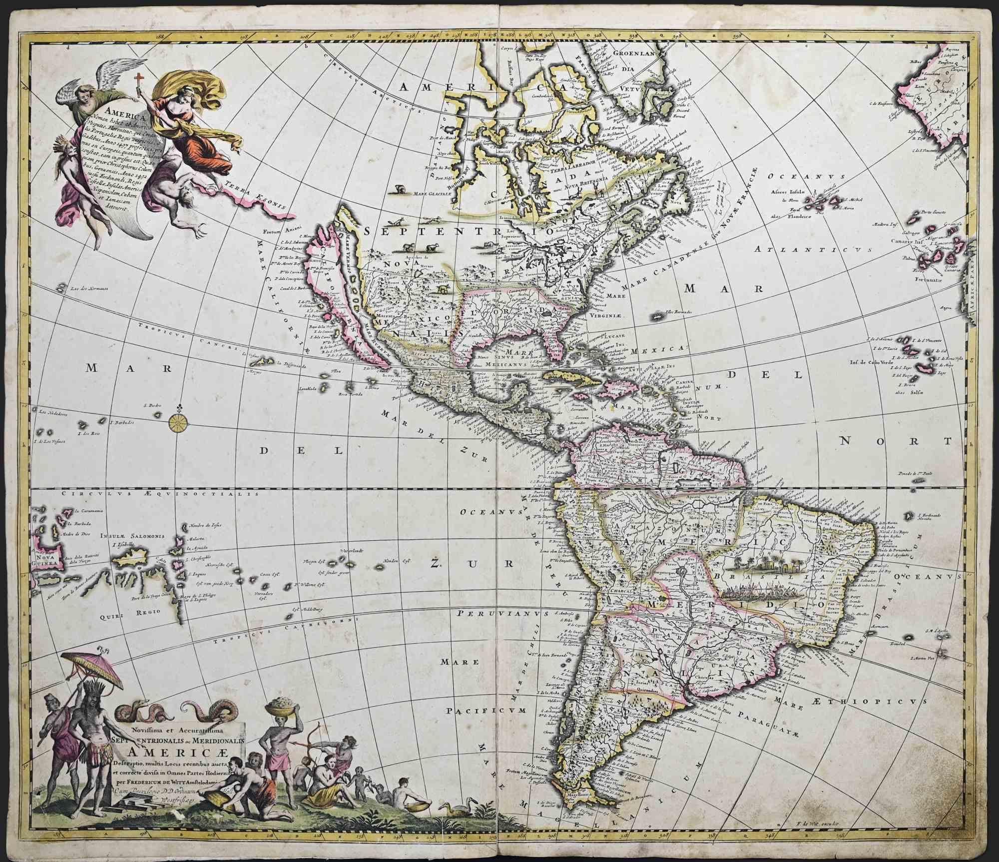
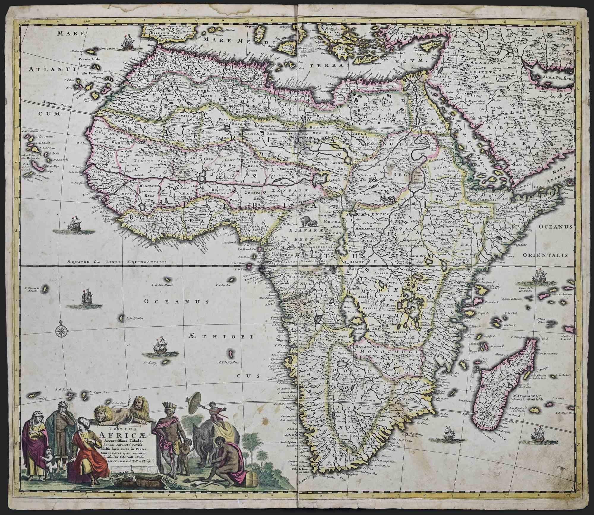
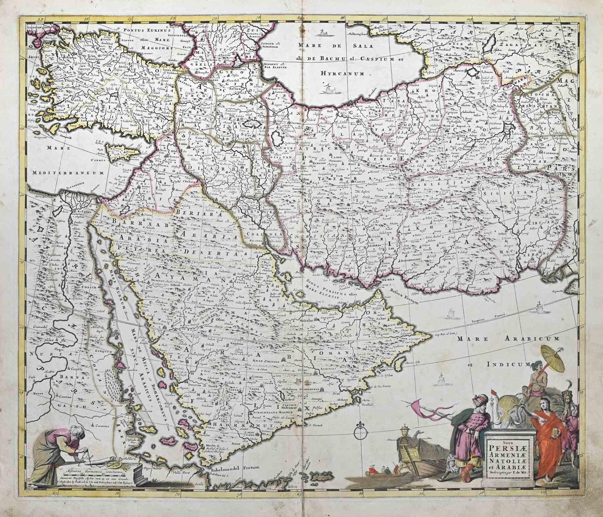
This double-page etching with contemporary coloring, entitled Magnae Tartariae, was realized by the cartographer Frederick de Wit for the famous Atlas published in Amsterdam in ca. 1680. The state of preservation is fair: central fold reinforced in antiquity on the reverse, some rips, stains and browning of the paper. Folio, measures ca. cm 51,5x59,8 Inscription on the reverse "Foglio 16 / Tartaria" Frederick de Wit was a cartographer and map-seller who was best known for his atlases and his Dutch town maps. His maps were known for their accuracy and detail, and contributed significantly to the documentation and understanding of the lands explored and discovered in the 17th century. His work had a considerable influence on the diffusion of geographical and cartographic knowledge of the time.
  • Creator:
    Frederick de Wit (1630 - 1706, Dutch)
  • Creation Year:
    1680 ca
  • Dimensions:
    Height: 20.28 in (51.5 cm)Width: 23.55 in (59.8 cm)Depth: 0.04 in (1 mm)
  • Medium:
  • Movement & Style:
  • Period:
    1680-1689
  • Framing:
    Framing Options Available
  • Condition:
    Insurance may be requested by customers as additional service, contact us for more information.
  • Gallery Location:
    Roma, IT
  • Reference Number:
    Seller: T-1550451stDibs: LU650316417402

More From This Seller

View All
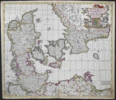
Dania Regnum - Etching by Frederick de Wit - 1680 ca

Dania Regnum - Etching by Frederick de Wit - 1680 ca

By Frederick de Wit

Located in Roma, IT

This double-page etching with contemporary coloring, entitled Dania Regnum [...], was realized by the cartographer Frederick de Wit for the famous Atlas published in Amsterdam in ca....

Category

1680s Modern Figurative Prints

Materials

Etching
Regnum Hungariae - Etching by Frederick de Wit - 1680ca

Regnum Hungariae - Etching by Frederick de Wit - 1680ca

By Frederick de Wit

Located in Roma, IT

This double-page etching with contemporary coloring, entitled Regnum Hungariae, was realized by the cartographer Frederick de Wit for the famous Atlas published in Amsterdam in ca. 1...

Category

1680s Modern Figurative Prints

Materials

Etching

You May Also Like

Antique Engravings of Japan incl a Map and the Arrival of the Dutch, 1732

Antique Engravings of Japan incl a Map and the Arrival of the Dutch, 1732

Located in Langweer, NL

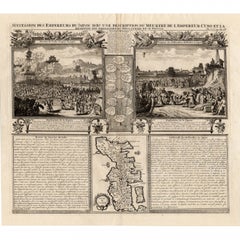
Original antique print titled 'Succession des Empereurs du Japon avec une Description de Meurtre de l'Empereur Cubo et la Reception des Ambassadeurs Hollandois en ce Pays la'. It sho...

Category

Antique 18th Century French Prints

Materials

Paper

Persiae, Armeniae, Natoliae et Arabiae Descriptio per Frederick deWit 1666 map

Persiae, Armeniae, Natoliae et Arabiae Descriptio per Frederick deWit 1666 map

Located in Paonia, CO

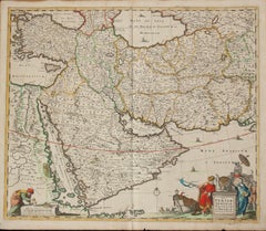
Map of Persiae, Armeniae, Natoliae et Arabiae Descriptio per F de Wit 1688 engraving from: Atlas Contractus Orbis Terrarum Praecipuas ac Novissimas Complectens Tabulas. Amsterdam, N. Visscher, 1656-77. (Koeman III, Vis5-8) This highly decorative map of the Middle East is by the Dutch engraver, publisher, and map seller...

Category

1660s Realist Landscape Prints

Materials

Engraving

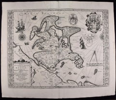
Rugen Island, Germany: An Early 17th Century Map by Mercator and Hondius

Rugen Island, Germany: An Early 17th Century Map by Mercator and Hondius

By Gerard Mercator

Located in Alamo, CA

This is an early 17th century map entitled "Nova Famigerabilis Insulae Ac Ducatus Rugiae Desciptio" (Map of Rugen Island, Germany) by Gerard Mercator and Henricus and Joducus Hondiu...

Category

Early 17th Century Old Masters Landscape Prints

Materials

Engraving

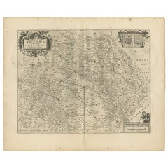
Antique Map of the Region of Rethelois by Janssonius, 1657

Antique Map of the Region of Rethelois by Janssonius, 1657

By Johannes Janssonius

Located in Langweer, NL

Antique map of France titled 'Dioecese de Rheims et le Païs de Rethel'. Detailed map, centered on the River Ayne and the River Velle and sowing Reims, Chalons, Sedan, Charleville, as...

Category

Antique Mid-17th Century Maps

Materials

Paper

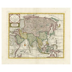
Antique Map of Asia by Tirion 'c.1760'

Antique Map of Asia by Tirion 'c.1760'

Located in Langweer, NL

Antique map titled 'Nuova Carta dell Asia'. Decorative map of Asia. Published by I. Tirion, circa 1760.

Category

Antique Mid-18th Century Maps

Materials

Paper

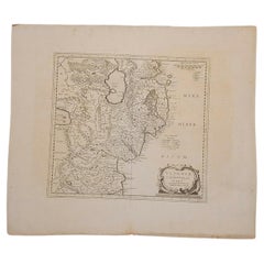
1627 Hendrik Hondius Map Entitled "Vltoniae Orientalis Pars, " Ric.a009

1627 Hendrik Hondius Map Entitled "Vltoniae Orientalis Pars, " Ric.a009

Located in Norton, MA

1627 Hendrik Hondius map entitled "Vltoniae orientalis pars," Ric.a009 Title: Vltoniae orientalis : pars Title (alt.) : Ultoniae orientalis pars Creator: Mercator, Gerh...

Category

Antique 17th Century Dutch Maps

Materials

Paper