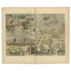
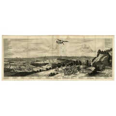
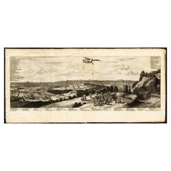
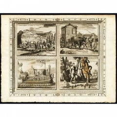
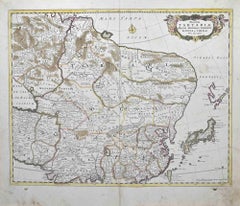
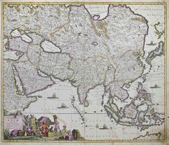
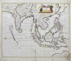
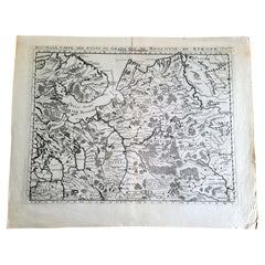
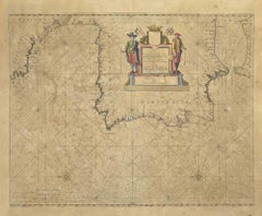
Original antique print titled 'Succession des Empereurs du Japon avec une Description de Meurtre de l'Empereur Cubo et la Reception des Ambassadeurs Hollandois en ce Pays la'. It shows: a central table of the succession of Japanese Emperors, a map of (part of modern-day) Japan, and two engravings: the death of Cubo, and the Dutch ambassador's arrival in Japan. The 2 engravings derived from Montanus: the murder of Emperor Cubo in a rebellion in 1564 and the arrival of Dutch Ambassadors in Japan 1644. This original old antique print / plate originates from the fifth volume of: 'Atlas Historique...' (Historic Atlas...), Published by Zacharie Chatelain, Amsterdam, 1732. The atlas was published in seven volumes between 1705 and 1720, with a second edition appearing in 1732. The maps were accompanied by information pertaining to cosmography, geography, history, chronology, genealogy, topography, heraldry, and costumes of the world. The maps in the Atlas Historique were mainly based on those of the French cartographer, Guillaume De L'Isle, but were presented by the Chatelains in an encyclopaedic form. We do not know the exact edition of this map.
When formal trade relations were established in 1609 by requests from Englishman William Adams, the Dutch were granted extensive trading rights and set up a Dutch East India Company trading outpost at Hirado. They traded exotic Asian goods such as spices, textiles, porcelain, and silk. When the Shimabara uprising of 1637 happened, in which Christian Japanese started a rebellion against the Tokugawa shogunate, it was crushed with the help of the Dutch. As a result, all Christian nations who gave aid to the rebels were expelled, leaving the Dutch the only commercial partner from the West. Among the expelled nations was Portugal who had a trading post in Nagasaki harbor on an artificial island called Dejima. In a move of the shogunate to take the Dutch trade away from the Hirado clan, the entire Dutch trading post was moved to Dejima. Dejima (Japanese: ??, "exit island") was a Portuguese and subsequently Dutch trading post at Nagasaki, Japan, from 1634 to 1854. Dejima was also the location for trade with the Chinese at the time, and thus the only place designated for foreign trade and exchange during the historical Japanese Edo period. (Source: Wikipedia)
Artists and Engravers: Henri Abraham Chatelain (1684-1743), his father Zacharie Chatelain (d.1723) and Zacharie Junior (1690-1754), worked as a partnership publishing the Atlas Historique, Ou Nouvelle Introduction A L'Histoire under several different Chatelain imprints, depending on the Chatelain family partnerships at the time of publication.
Condition: Very good, given age. Original folds from binding with some paper separation at lower fold all backed and restored. General age-related light toning and minimal staining from handling. Some creasing. Paper edges a bit irregular as issued and with ocassional chipping. Please study image carefully.
Date: 1732
Overall size: 47.5 x 42.5 cm.
Image size: 44.5 x 38.5 cm.
We sell original antique maps to collectors, historians, educators and interior decorators all over the world. Our collection includes a wide range of authentic antique maps from the 16th to the 20th centuries. Buying and collecting antique maps is a tradition that goes back hundreds of years. Antique maps have proved a richly rewarding investment over the past decade, thanks to a growing appreciation of their unique historical appeal. Today the decorative qualities of antique maps are widely recognized by interior designers who appreciate their beauty and design flexibility. Depending on the individual map, presentation, and context, a rare or antique map can be modern, traditional, abstract, figurative, serious or whimsical. We offer a wide range of authentic antique maps for any budget.