Want more images or videos?
Request additional images or videos from the seller
1 of 12

1943 "USO Map Guide to Washington" by Allen F. Free, Published by the U.S.O.

$1,750
£1,321.14
€1,537.26
CA$2,469.85
A$2,477.63
CHF 1,446.91
MX$30,165.87
NOK 16,614.60
SEK 17,110.45
DKK 11,490.65

About the Item

This is a WWII map of Washington, DC, issued as a guide for service men and women visiting or working in the city during the war. The map was created by Allen F. Free and published and distributed by the Washington Council of United Service Organizations, Inc. (better known as the U.S.O). The first edition of this map was issued in May of 1943; this is the second printing issued in December of that same year. Centered on the National Mall and surrounding neighborhoods, the map shows the Potomac River and East Potomac Park to the south, Adams Morgan and Union station to the North. A keyed and indexed map, there are 298 locations numerically identified with cross streets and organized by category, including: hotels, service clubs, bus terminals, information services, army and navy buildings, officer’s clubs, travelers aid, U.S.O. branches, airports, parks, hospitals, theaters and arenas, restaurants, night clubs, bicycle rentals, bowling, skating, steamboats, churches, points of interest, suburbs and local points. Many of the locations are circled in red on the map. The map also identifies key landmark buildings, like Executive Mansion and U.S. Capitol, Department of Commerce and Department of the Interior, the Ellipse, Reflecting Pool, and the National Mall. An inset diagram of Union Station is printed at the top of the map. Established in 1941, the U.S.O. is a federally chartered group to provide morale and recreation services to military personnel and their families. CONDITION: Good condition overall. Printed color, in red and blue. There are a few minor ink notations in the image, not disrupting the image. Originally issued folding, with several short archivally repaired fold separations on verso and minor losses at those fold junctions. Related text and illustrations are found on verso. Map has been archivally framed in a custom-built black, wooden frame with acid-free mats and UV glass. Framed Dimensions: 20" H x 25 5/8" W x 3/4" D. Accompanied by our company's letter of authenticity.
  • Dimensions:
    Height: 20 in (50.8 cm)Width: 25.63 in (65.11 cm)Depth: 0.75 in (1.91 cm)
  • Style:
    Mid-Century Modern (Of the Period)
  • Materials and Techniques:
  • Place of Origin:
  • Period:
  • Date of Manufacture:
    1943
  • Condition:
    Additions or alterations made to the original: Framed by Rio Grande Custom Framing in Colorado Springs, CO, in December of 2024. Repaired: Several short archivally repaired fold separations on verso and minor losses at those fold junctions by previous owner. Wear consistent with age and use. Minor losses.
  • Seller Location:
    Colorado Springs, CO
  • Reference Number:
    Seller: M3811stDibs: LU909742864492

More From This Seller

View All
1923 "Washington, The Beautiful Capital of the Nation" Baltimore and Ohio RR Map

1923 "Washington, The Beautiful Capital of the Nation" Baltimore and Ohio RR Map

Located in Colorado Springs, CO

This is a fabulous 1923 bird's eye map of Washington, DC that shows the city in amazing detail. Every building is individually drawn and all major roads in the city are shown. The vi...

Category

Vintage 1920s American Art Deco Maps

Materials

Paper

1939 "A Good-Natured Map of the United States" by Greyhound

1939 "A Good-Natured Map of the United States" by Greyhound

Located in Colorado Springs, CO

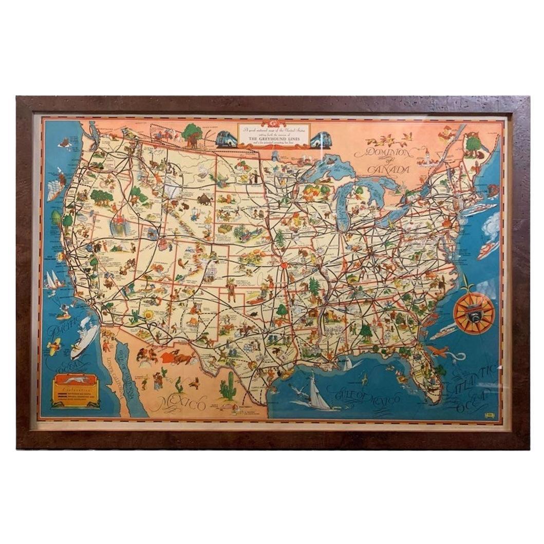
Presented is an original 1939 map, titled “A Good-Natured Map of the United States Setting Forth the Services of the Greyhound Lines and a Few Principal Connecting Bus Lines.” This brightly colored pictographic map was one of several similar United States maps...

Category

Vintage 1930s American Art Deco Maps

Materials

Paper

1943 "Colorado Railroads" Map by Linn Westcott, for "Trains Magazine"

1943 "Colorado Railroads" Map by Linn Westcott, for "Trains Magazine"

Located in Colorado Springs, CO

Presented is an original 1943 "Colorado Railroads" Map, drawn by Linn Westcott for Trains Magazine. It was issued by Kalmbach Publishing Co., who boasted on the map’s original cover ...

Category

Vintage 1940s American Mid-Century Modern Maps

Materials

Paper

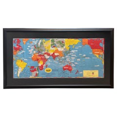
1944 "Dated Events War Map" by Stanley Turner, WWII Pictorial Map

1944 "Dated Events War Map" by Stanley Turner, WWII Pictorial Map

Located in Colorado Springs, CO

Presented is a striking WWII pictorial map by Stanley Turner, published in 1944. The map is a progress map, chronicling major events in the war up to September 1944. The legend at bo...

Category

Vintage 1940s American Mid-Century Modern Maps

Materials

Paper

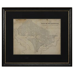
1840 Map of the City of Washington Published by William M. Morrison

1840 Map of the City of Washington Published by William M. Morrison

Located in Colorado Springs, CO

This map, printed in 1840, is a detailed representation of Washington, D.C. in the mid-19th century. The map shows block numbers, wards, and government buildings as well as details o...

Category

Antique 1840s American Federal Maps

Materials

Paper

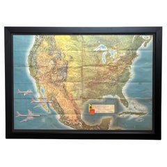
"American Airlines System Map" by Rand McNally & Co., circa 1962

"American Airlines System Map" by Rand McNally & Co., circa 1962

By Rand McNally & Co.

Located in Colorado Springs, CO

Presented is an original "American Airlines System Map" from 1962. A topographical map of the United States, overlaid with American Airlines routes, this colorful lithograph was prep...

Category

Vintage 1960s American Mid-Century Modern Maps

Materials

Paper

You May Also Like

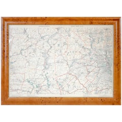
Original 1891 Walker Map

Original 1891 Walker Map

Located in Norwell, MA

Original 1891 map of Massachusetts by Walker. Towns include Cambridge, Boston, Dedham, Ashland, Brookline, Newton etc... burl wood frame. Measures...

Category

Antique 19th Century Maps

Old Decorative Pictorial Map of the United States, circa 1953

Old Decorative Pictorial Map of the United States, circa 1953

Located in Langweer, NL

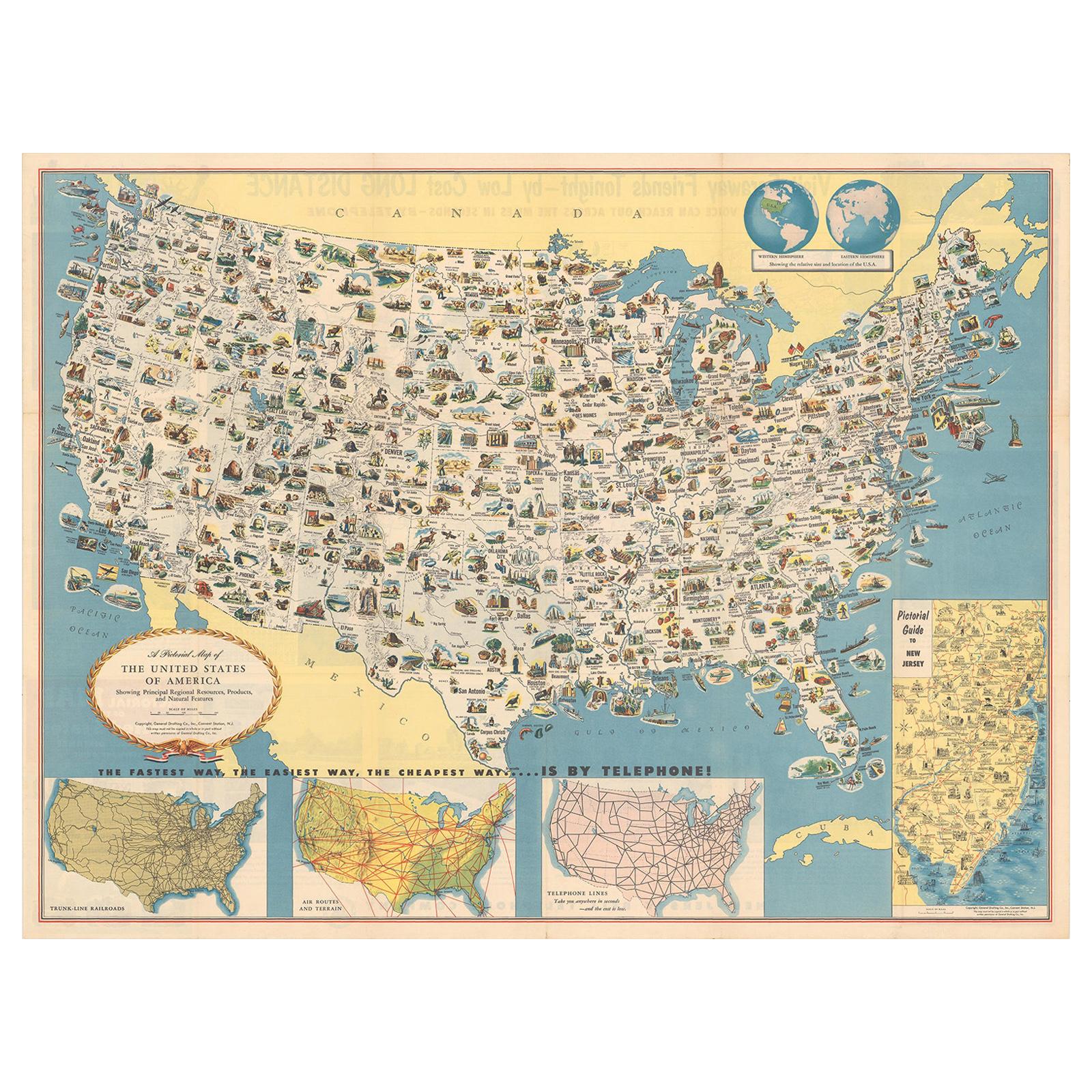
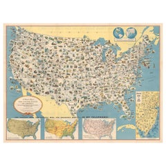
Antique map titled 'A Pictorial Map of the United States of America Showing Principal Regional Resources, Products, and Natural Features'. This information-packed map was create by the General Drafting Company for the New Jersey Bell Telephone Company. The main map features over 700 drawings in full color including points of interest, natural resources, and agricultural products. At bottom are inset maps showing railroad lines, air routes, telephone lines, as well as a pictorial map of New Jersey...

Category

20th Century Maps

Materials

Paper

Original Antique City Plan of Kansas City, USA. 1894

Original Antique City Plan of Kansas City, USA. 1894

By Rand McNally & Co.

Located in St Annes, Lancashire

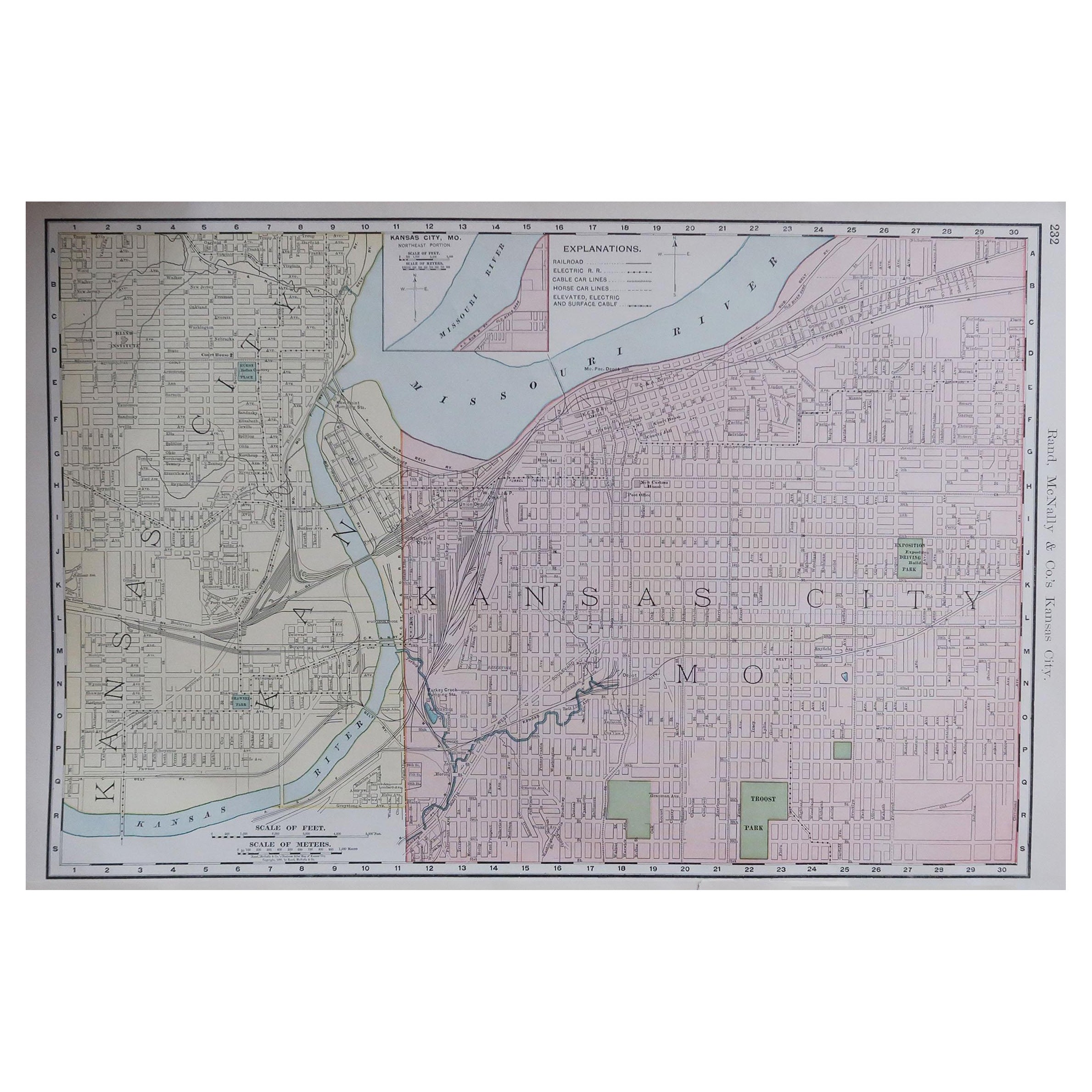
Fabulous colorful map of Kansas City Original color By Rand, McNally & Co. Published, 1894 Unframed Slightly reduced bottom margin. Free shipping.

Category

Antique 1890s American Maps

Materials

Paper