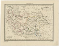
Antique Persia Map, Iran Afghanistan & Central Asia, The Great Game Era, c.1850
Located in Langweer, NL
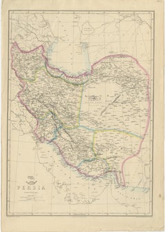
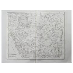
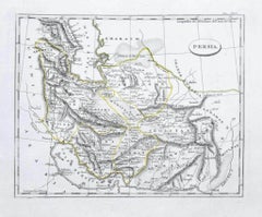
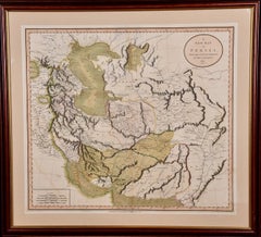
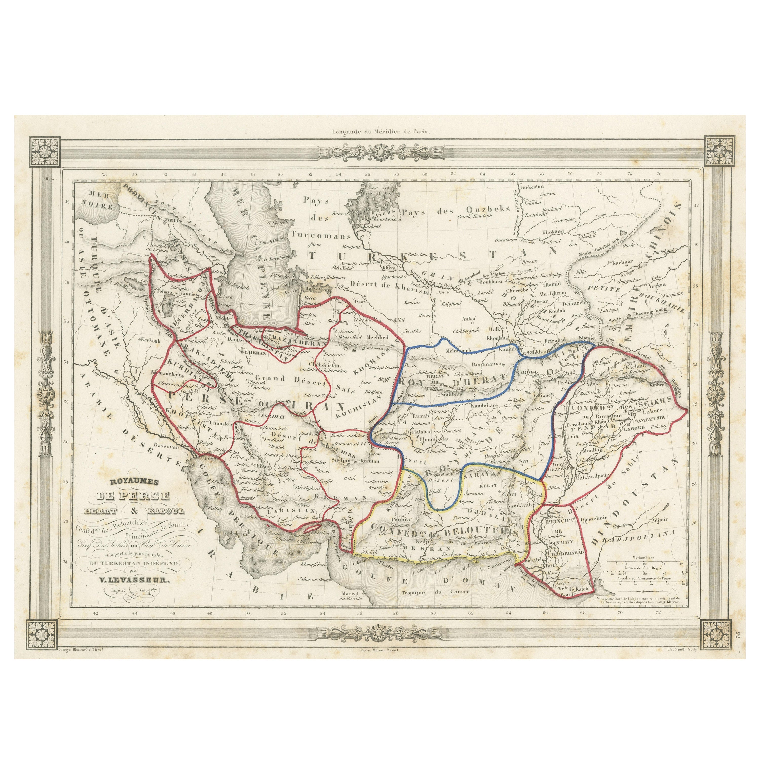
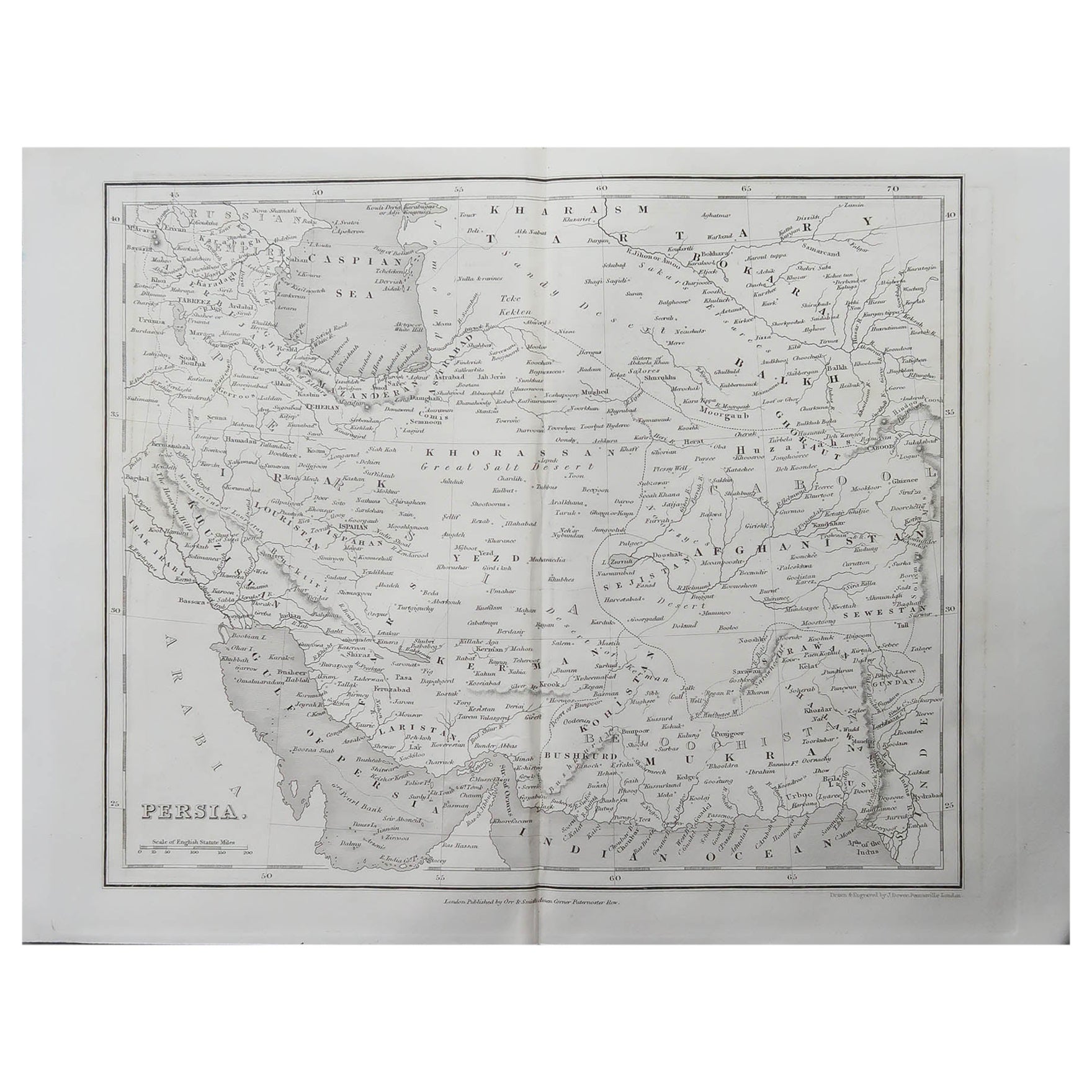
Antique Persia Map, Iran Afghanistan & Central Asia, The Great Game Era, c.1850 A finely detailed and historically rich map of Persia and its surrounding regions, offering a compelling view of Iran, Afghanistan, and Central Asia during the mid-19th century. Published by George Philip & Son in Liverpool around 1850, this map reflects the growing European interest in the geopolitical and commercial significance of the region at a time of imperial expansion and intensified global trade. The composition spans from the Caucasus and the Caspian Sea in the north to the Persian Gulf and the Arabian Sea in the south, extending eastward into Afghanistan and the approaches to British India. Major cities such as Tehran, Isfahan, Shiraz, and Herat are clearly identified, alongside caravan routes, rivers, deserts, and mountain ranges that defined travel and communication across this vast and often inhospitable terrain. Particularly engaging are the subtle traces of hand-coloring used to distinguish regional boundaries and routes, lending the map both clarity and visual appeal. The engraved detail is crisp and highly legible, characteristic of British cartography of the period, where precision and usability were paramount. The presence of statistical notes in the lower left further reflects the map’s practical and educational purpose, offering contemporary insights into population and geography. Maps of Persia from this period hold particular appeal for collectors interested in the historical context of the “Great Game,” the strategic rivalry between Britain and Russia over Central Asia. This map captures that world in formation, before the rigid borders of the modern Middle East and Central Asia were established, making it both historically significant and visually engaging. This is an original antique engraving, not a reproduction. All items we offer are authentic period works of art over 100 years old. The map is sold unframed; any framed images are shown for presentation and interior inspiration only and may not always be to scale. Condition: Good overall condition with light age-related toning and some faint spotting, mainly in the margins. The engraving remains sharp and well-defined. Minor handling wear and a few light creases consistent with age. Framing tips: This map benefits from a strong yet understated presentation. A dark walnut or black frame with a wide ivory mat will enhance the fine engraving and subtle coloring. For a more contemporary look, a slim bronze or black frame with a clean museum mount offers a refined and elegant display. Keywords: Persia map, Iran map...
Antique Mid-19th Century British Maps
Paper