Want more images or videos?
Request additional images or videos from the seller
1 of 11

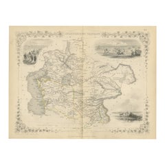
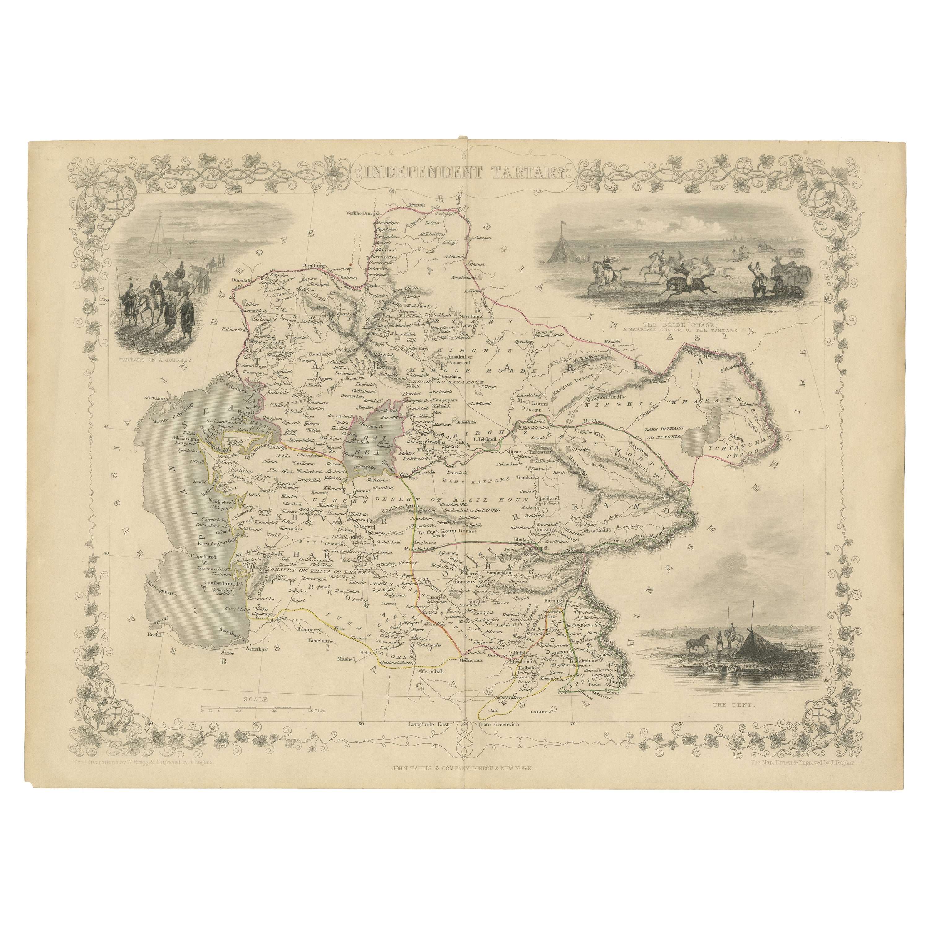
Antique Map of Central Asia between the Caspian Sea and Lake Balkhash, 1851

$687.08
£508.31
€580VAT Included
CA$950.96
A$954.42
CHF 556.55
MX$11,602.93
NOK 6,395.31
SEK 6,577.25
DKK 4,422.14

About the Item

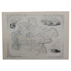
Antique map titled 'Independent Tartary'. Original steel engraved map of Central Asia. It covers the regions between the Caspian Sea and Lake Balkhash and between Russia and Afghanistan. These include the ancient Silk Route kingdoms of Khiva, Tartaria, Kokand, and Bokhara. Today this region roughly includes Kazakhstan, Uzbekistan, Turkmenistan, Kyrgyzstan, and Tajikistan. Three vignettes, including an image of Tartars on a Journey, a horseback Bride Chase, and a tartar campsite. Published circa 1851 by J. & F. Tallis.
  • Dimensions:
    Height: 10.56 in (26.8 cm)Width: 14.73 in (37.4 cm)Depth: 0.02 in (0.5 mm)
  • Materials and Techniques:
  • Place of Origin:
  • Period:
  • Date of Manufacture:
    c.1851
  • Condition:
    Age-related toning. Original outline coloring. Shows some wear and foxing. Few small defects in margins. Blank verso. Please study image carefully.
  • Seller Location:
    Langweer, NL
  • Reference Number:
    Seller: BG-13512-31stDibs: LU3054335885922

More From This Seller

View All
Antique Map of Russia from the Baltic to the Black Sea by Sharpe, 1849

Antique Map of Russia from the Baltic to the Black Sea by Sharpe, 1849

Located in Langweer, NL

Antique map titled 'Western Russia from the Baltic to the Euxine'. Old map of Western Russia from the Baltic to the Black Sea. This map originates from 'Sharpe's Corresponding Atlas ...

Category

Antique 19th Century Maps

Materials

Paper

Map of Independent Tartary with Vignettes of the Region's Culture, 1851

Map of Independent Tartary with Vignettes of the Region's Culture, 1851

Located in Langweer, NL

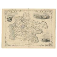
The map of Independent Tartary is part of the collection by John Tallis & Company, which were unique for their elaborate decorative elements and detailed illustrations. The Maker - ...

Category

Antique 1850s Maps

Materials

Paper

Antique Map of Russia and the Caucasus by Sharpe, 1849

Antique Map of Russia and the Caucasus by Sharpe, 1849

Located in Langweer, NL

Antique map titled 'Russia at the Caucasus'. Old map of Russia and the Caucasus, also shows part of the Black Sea and Caspian Sea. This map originates from 'Sharpe's Corresponding Atlas (..)' by J. Sharpe. Artists and Engravers: Published by Chapman and Hall...

Category

Antique 19th Century Maps

Materials

Paper

Gateway to the Steppes: Tallis's Masterpiece Map of Indepent Tartary, 1851

Gateway to the Steppes: Tallis's Masterpiece Map of Indepent Tartary, 1851

Located in Langweer, NL

The map is of "Independent Tartary," a historical region in Central Asia that covered parts of what are now Kazakhstan, Uzbekistan, Turkmenistan, and surrounding areas. The map was p...

Category

Antique 1850s Maps

Materials

Paper

Antique Map of Russia in Asia by Kuyper, c.1880

Antique Map of Russia in Asia by Kuyper, c.1880

Located in Langweer, NL

Antique map plate 48 : 'Aziatisch Rusland. Balkasj Meer en omstreken.' Original antique map of Russia in Asia, showing Lake Balkhash and surroundings. This l...

Category

Antique 19th Century Maps

Materials

Paper

You May Also Like

1851 Map of "Independent Tartary", Ric. R018

1851 Map of "Independent Tartary", Ric. R018

Located in Norton, MA

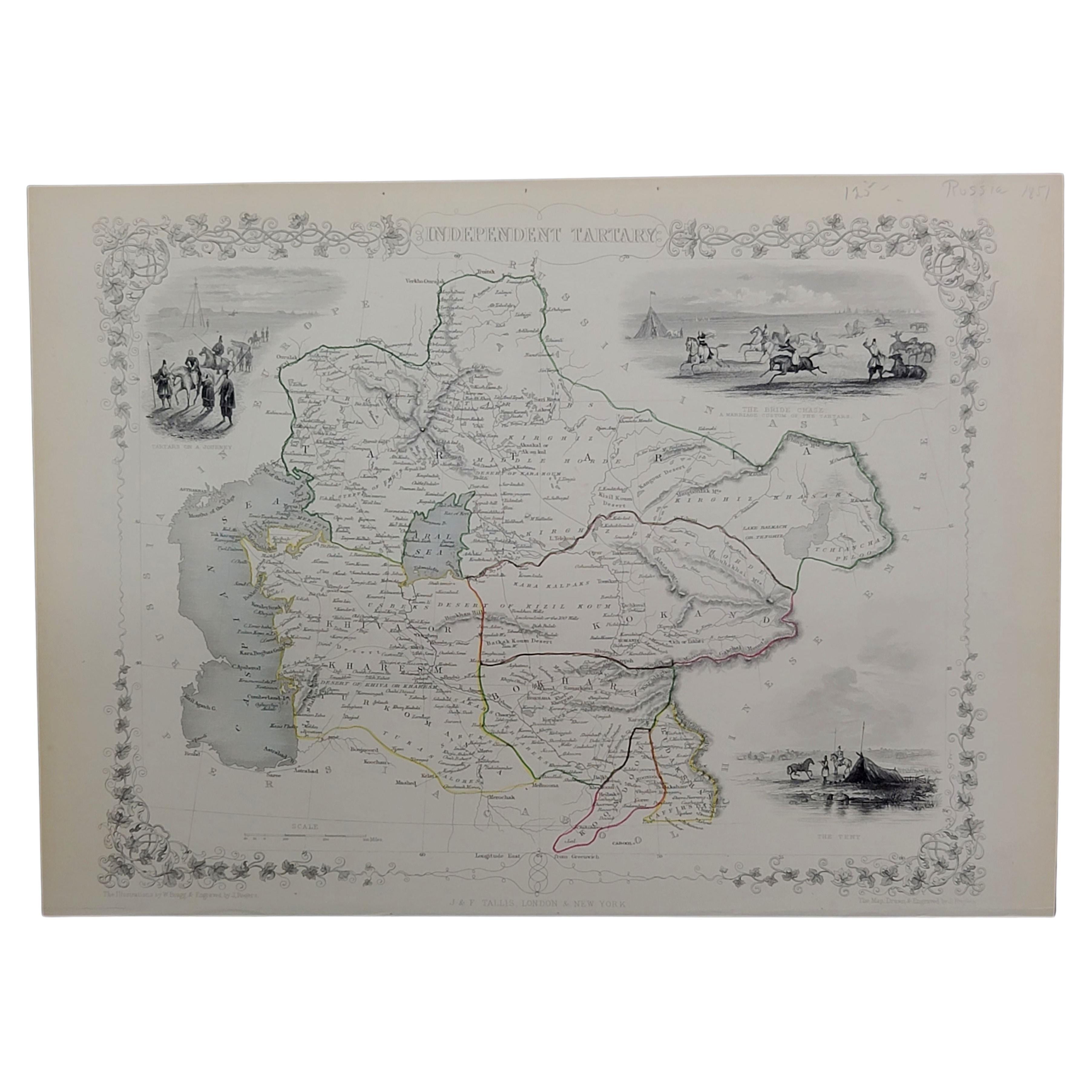
1851 Map of Independent Tartary "Russia" Ric.r018 A highly decorative 1851 map of Independent Tartary by John Tallis and John Rapkin. Covers the regions between the Caspian Sea and Lake Bakquash and between Russia and Afghanistan. These include the ancient Silk Route kingdoms of Khiva, Tartaria, Kokand, and Bokhara. Today this region roughly includes Kazakhstan, Uzbekistan, Turkmenistan, Kyrgyzstan, and Tajikistan. This wonderful map offers a wealth of detail for anyone with an interest in the Central Asian portion of the ancient Silk Road. Identifies various caravan routes, deserts, wells, and stopping points, including the cities of Bokhara and Samarkand. Three vignettes by W. Bragg decorate the map, these including an image of Tartars on a Journey, a horseback Bride Chase, and a tartar camp site. Surrounded by a vine motif border. Engraved by J. Rapkin for John Tallis's 1851 Illustrated Atlas . Tartary Antique Map...

Category

Antique 19th Century Unknown Maps
Materials

Paper

Original Antique English County Map, Nottinghamshire, J & C Walker, 1851

Original Antique English County Map, Nottinghamshire, J & C Walker, 1851

Located in St Annes, Lancashire

Great map of Nottinghamshire Original colour By J & C Walker Published by Longman, Rees, Orme, Brown & Co. 1851 Unframed.

Category

Antique 1850s English Other Maps

Materials

Paper

1839 Map of Karte Des "Russischen Reiches in Europa Und Asien" Ric.R0013

1839 Map of Karte Des "Russischen Reiches in Europa Und Asien" Ric.R0013

Located in Norton, MA

1839 map of Karte Des "Russischen Reiches in Europa and Asien" Ric.r013 Map of the European and Asian parts of Russian Empire. Karte der Russischen Reiches in Europa und Asien...

Category

Antique 19th Century Unknown Maps
Materials

Paper

Original Antique English County Map, Warwickshire, J & C Walker, 1851

Original Antique English County Map, Warwickshire, J & C Walker, 1851

Located in St Annes, Lancashire

Great map of Warwickshire Original colour By J & C Walker Published by Longman, Rees, Orme, Brown & Co. 1851 Unframed.

Category

Antique 1850s English Other Maps

Materials

Paper

Original Antique English County Map, Derbyshire, J & C Walker, 1851

Original Antique English County Map, Derbyshire, J & C Walker, 1851

Located in St Annes, Lancashire

Great map of Derbyshire Original colour By J & C Walker Published by Longman, Rees, Orme, Brown & Co. 1851 Unframed.

Category

Antique 1850s English Other Maps

Materials

Paper

1832 Large Map "Russian & Poland" Ric. R0012

1832 Large Map "Russian & Poland" Ric. R0012

Located in Norton, MA

Large map 1832 "Russian & Poland" Ric.r0012 Russia & Poland, by J. Arrowsmith. London, pubd. 15 Feby. 1832 by J. Arrowsmith, 35 Essex Street, S...

Category

Antique 19th Century Unknown Maps
Materials

Paper