Want more images or videos?
Request additional images or videos from the seller
1 of 5

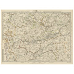
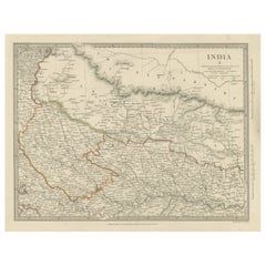
Old Steel Engraved Map of the Western Part of the Madras Presidency, 1831

$343.47
£254.21
€290VAT Included
CA$475.25
A$476.75
CHF 278.41
MX$5,804.53
NOK 3,196.99
SEK 3,292.40
DKK 2,211.03

About the Item

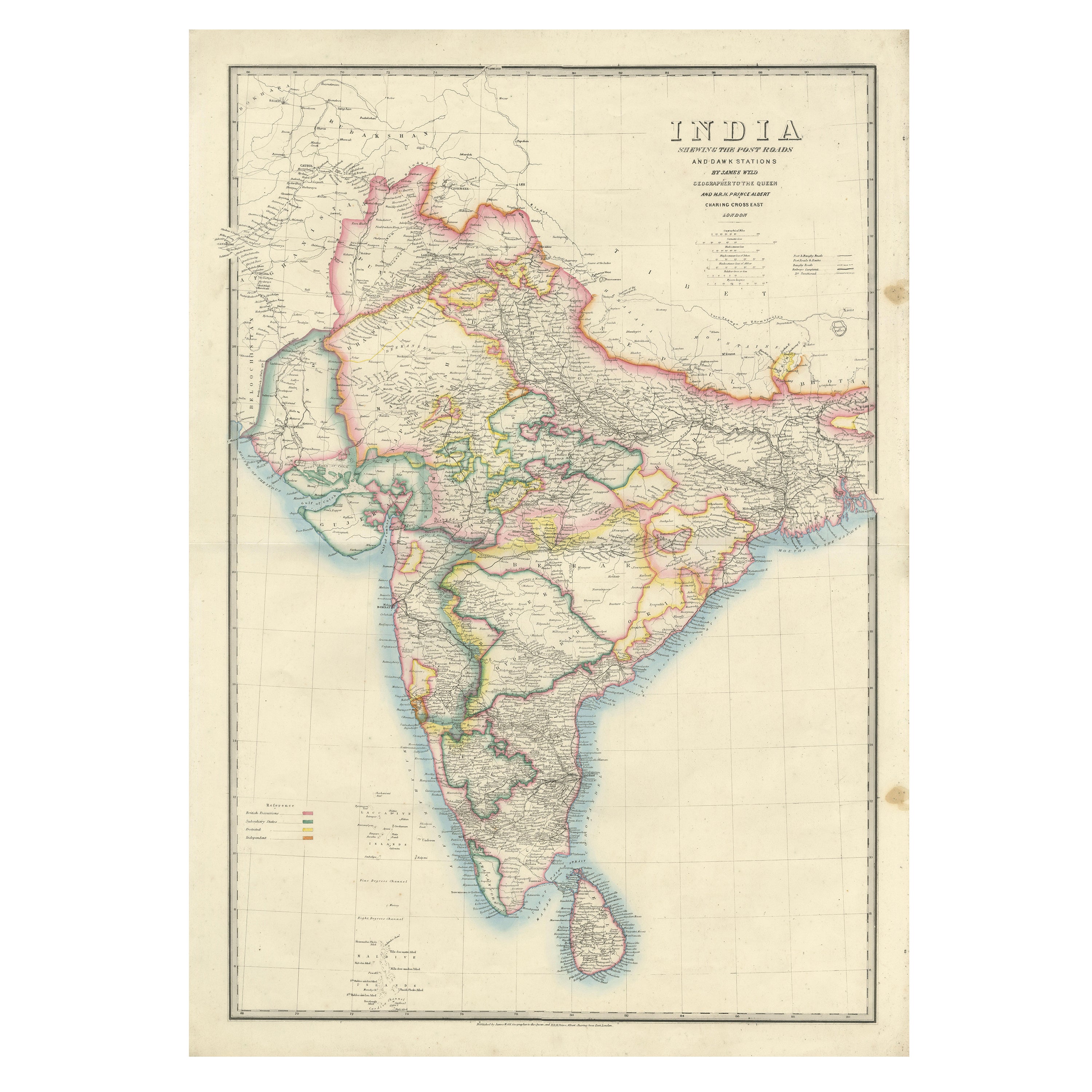
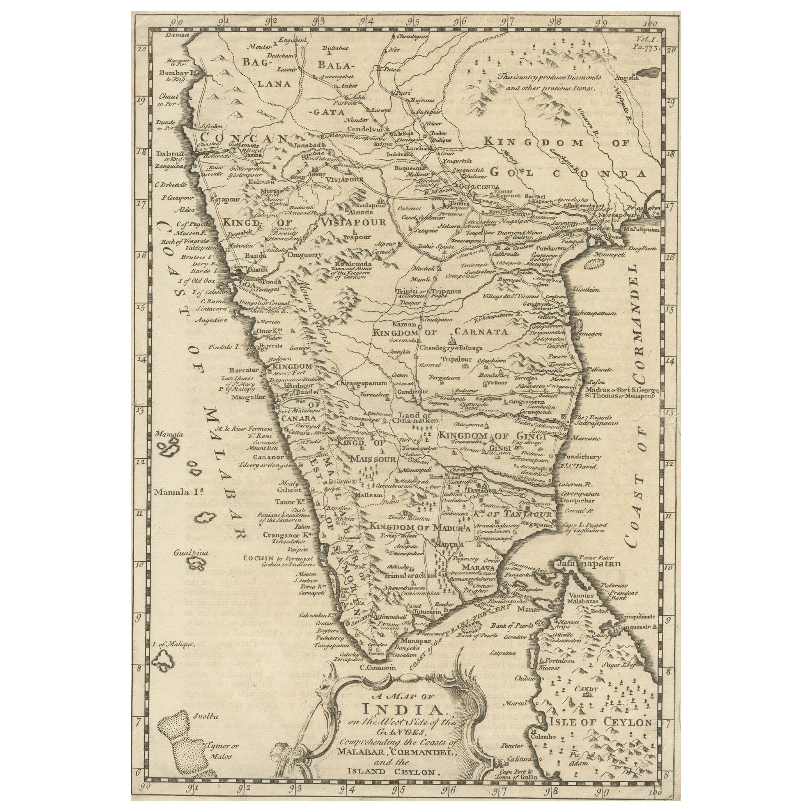
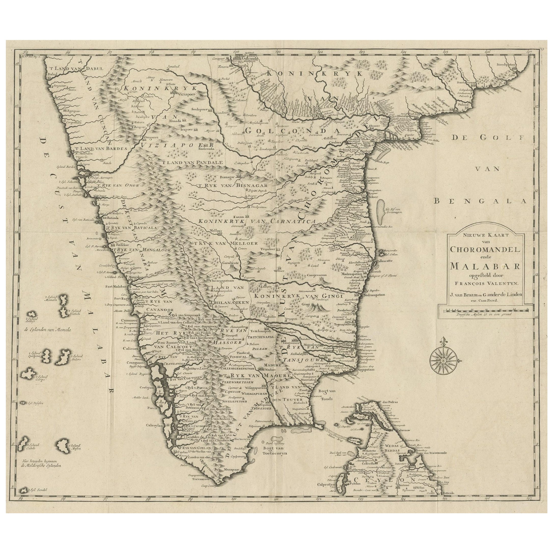
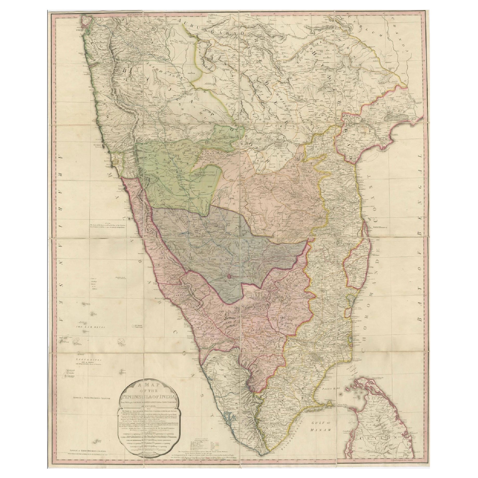
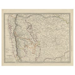
Antique map titled 'India II Madras Presidency'. Old steel engraved map of the western part of the Madras Presidency. The Madras Presidency, or the Presidency of Fort St. George, and also known as Madras Province, was an administrative subdivision (presidency) of British India. At its greatest extent, the presidency included most of southern India, including the whole of the Indian states of Tamil Nadu and Andhra Pradesh, and parts of Odisha, Kerala, Karnataka and the union territory of Lakshadweep. The city of Madras was the winter capital of the Presidency and Ootacamund or Ooty, the summer capital. The Island of Ceylon was a part of Madras Presidency from 1793 to 1798 when it was created a Crown colony. Artists and Engravers: Engraved by J. & C. Walker. Published under the superintendence of the Society for the Diffusion of Useful Knowledge. Published by Baldwin & Cradock.
  • Dimensions:
    Height: 13.78 in (35 cm)Width: 16.15 in (41 cm)Depth: 0 in (0.02 mm)
  • Materials and Techniques:
  • Period:
  • Date of Manufacture:
    1831
  • Condition:
    Very good, general age-related toning. Please study image carefully.
  • Seller Location:
    Langweer, NL
  • Reference Number:
    Seller: BG-12056-11 1stDibs: LU3054326635362

More From This Seller

View All
Antique Map of Part of the Bombay Presidency in India, 1831

Antique Map of Part of the Bombay Presidency in India, 1831

Located in Langweer, NL

Antique map titled 'India III Bombay Presidency'. Old steel engraved map of part of the Bombay Presidency. The Bombay Presidency, also known as Bombay and Sind from 1843 to 1936 and ...

Category

Antique 19th Century British Maps

Materials

Paper
Original Antique Map of Part of the Bahar Region (India), 1834

Original Antique Map of Part of the Bahar Region (India), 1834

Located in Langweer, NL

Antique map titled 'India X'. Old steel engraved map of part of the Bahar region, it also shows part of Nepal. Artists and Engravers: Engraved by J. & C. Walker. Published under th...

Category

Antique 19th Century Maps

Materials

Paper

Detailed Antique Map of the Region of Malwa in India, 1833

Detailed Antique Map of the Region of Malwa in India, 1833

Located in Langweer, NL

Antique map titled 'India VI'. Old steel engraved map of the region of Malwa showing great detail. Artists and Engravers: Engraved by J. & C. Walker. Published under the superint...

Category

Antique 19th Century Maps

Materials

Paper

Antique Map of the Region of Berar and Rewah in India, 1832

Antique Map of the Region of Berar and Rewah in India, 1832

Located in Langweer, NL

Antique map titled 'India VII'. Old steel engraved map of part of India including the Rajah of Berar, the Rajah of Rewah and British Territory. Artists and Engravers: Engraved by...

Category

Antique 19th Century Maps

Materials

Paper

Antique Map of the Region of Delhi in India, 1833

Antique Map of the Region of Delhi in India, 1833

Located in Langweer, NL

Antique map titled 'India IX'. Old steel engraved map of the region of Delhi, with great detail. Artists and Engravers: Engraved by J. & C. Walker. Published under the superinten...

Category

Antique 19th Century Maps

Materials

Paper

Steel Engraved Map of Part of the Bengal Presidency 'India & Bangladesh', 1831

Steel Engraved Map of Part of the Bengal Presidency 'India & Bangladesh', 1831

Located in Langweer, NL

Antique map titled 'India Bengal Presidency'. Old steel engraved map of part of the Bengal Presidency. The Bengal Presidency (1757–1912), later reorganized as the Bengal Province (19...

Category

Antique 1830s Maps

Materials

Paper

You May Also Like

Original Antique Map of India by Dower, circa 1835

Original Antique Map of India by Dower, circa 1835

Located in St Annes, Lancashire

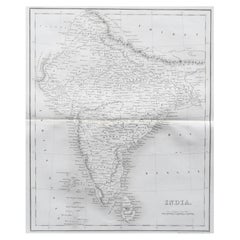
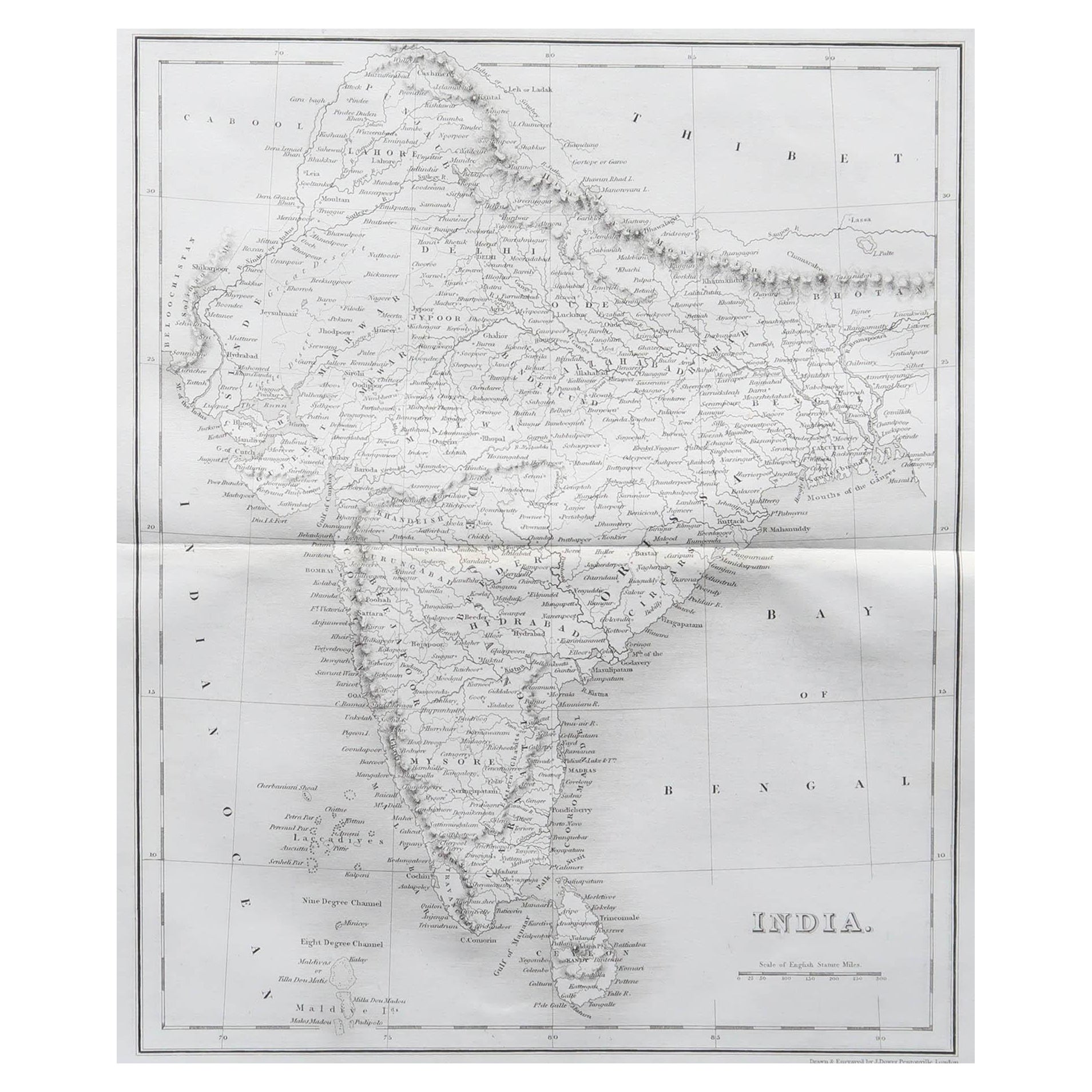
Nice map of India Drawn and engraved by J.Dower Published by Orr & Smith. C.1835 Unframed. Free shipping

Category

Antique 1830s English Maps

Materials

Paper

Ancient National Atlas of France Print, Engraved, Early 19th Century

Ancient National Atlas of France Print, Engraved, Early 19th Century

Located in Alessandria, Piemonte

Ancient National Atlas of France with the department of Marengo: a rare French etching dated 1806. ST/178.

Category

Antique Early 19th Century French Other Prints

Materials

Paper

Large Original Vintage Map of India, circa 1920

Large Original Vintage Map of India, circa 1920

Located in St Annes, Lancashire

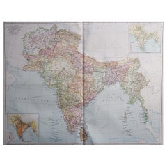
Great map of India Original color. Good condition / repair to some minor damage just above Sri Lanka. Shown in the last image. Published by Alexander Gross Unframed.

Category

Vintage 1920s English Maps

Materials

Paper

Original Antique Map of South Italy By J.Dower. Unframed, Circa 1835

Original Antique Map of South Italy By J.Dower. Unframed, Circa 1835

Located in St Annes, Lancashire

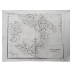
Great map of South Italy Drawn and engraved by J.Dower Published by Orr & Smith. C.1835 Unframed. Free shipping

Category

Antique 1830s English Maps

Materials

Paper

1849 Map of "Europaische Russland", 'Meyer Map of European Russia', Ric. R017

1849 Map of "Europaische Russland", 'Meyer Map of European Russia', Ric. R017

Located in Norton, MA

1849 Map of "Europaische Russland" ( Meyer Map of European Russia) Ric.r017 A lovely map of European Russia dating to 1849 by Joseph Meyer. It covers the European portions of...

Category

Antique 19th Century Unknown Maps

Materials

Paper

Original Antique Map of Iran By J.Dower. Unframed, Circa 1835

Original Antique Map of Iran By J.Dower. Unframed, Circa 1835

Located in St Annes, Lancashire

Great map of Iran Drawn and engraved by J.Dower Published by Orr & Smith. C.1835 Unframed. Free shipping

Category

Antique 1830s English Maps

Materials

Paper