Want more images or videos?
Request additional images or videos from the seller
1 of 11

Suriname – Antique Dutch Colonial Map with Districts and Paramaribo Inset, 1905

$390.96
£289.24
€330VAT Included
CA$541.11
A$543
CHF 316.68
MX$6,602.23
NOK 3,639.02
SEK 3,742.55
DKK 2,516.26

About the Item

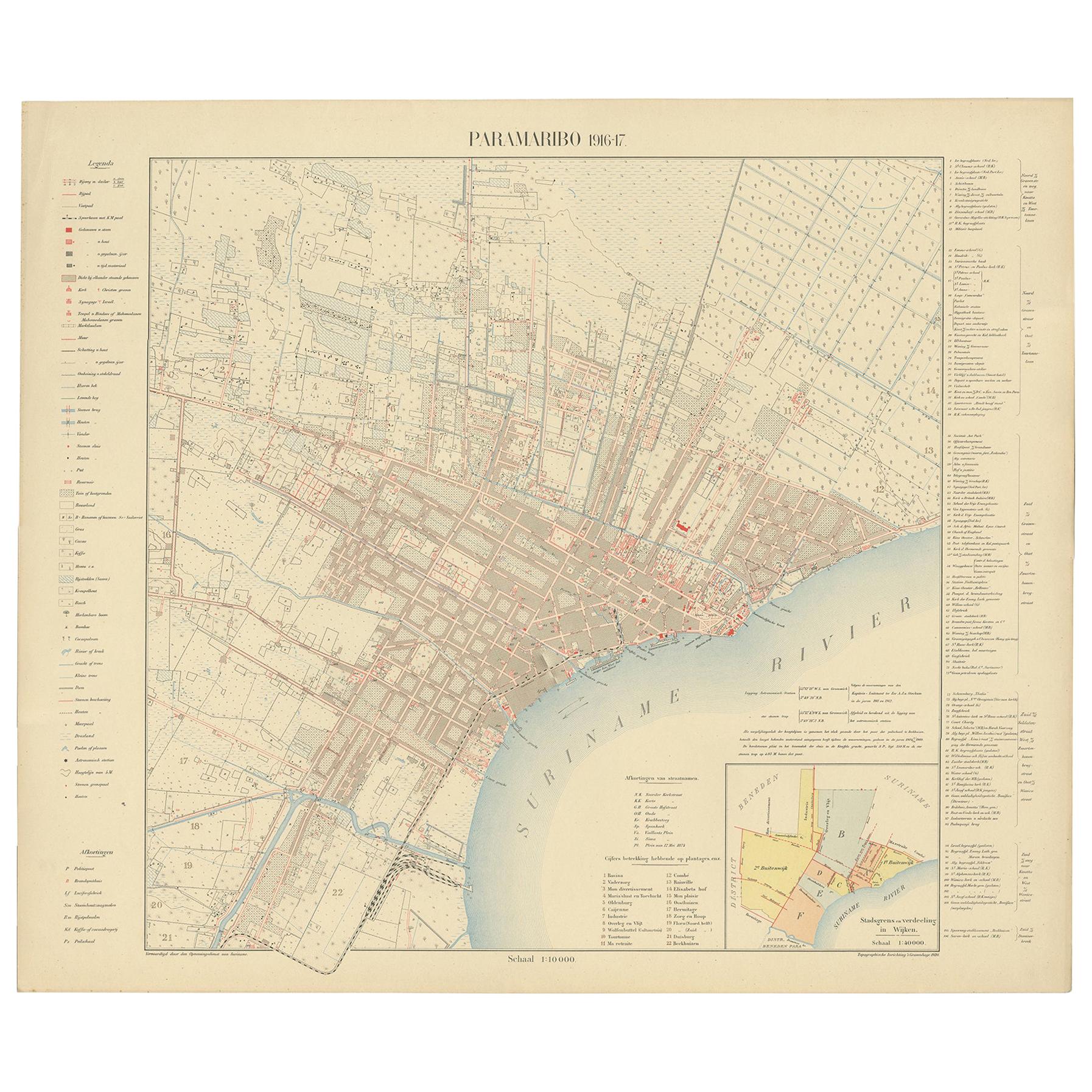
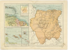
SURINAME – Dutch Colonial Map with Districts and Paramaribo Inset, 1905 Description: This original early 20th-century map depicts Suriname, the former Dutch colony on the northern coast of South America, and was published in Amsterdam by Seyffardt’s Boekhandel in 1905. The map presents a detailed administrative and geographic overview of the colony at the height of Dutch colonial governance, combining coastal detail, river systems, and interior exploration routes. The Atlantic coastline is clearly defined along the upper edge, while the interior is structured around Suriname’s major rivers, including the Suriname, Saramacca, Coppename, and Marowijne rivers, which were essential arteries for transport, trade, and plantation economy. Colonial districts and administrative divisions are emphasized with hand-colored boundary lines, allowing for easy visual distinction between regions. Neighboring territories such as British Guiana and Brazil are indicated for geopolitical context. A large inset at the lower center shows the environs of Paramaribo, the colonial capital, at a larger scale. This inset highlights the river network, surrounding districts, and settlement structure of the city and its hinterland, underlining Paramaribo’s role as the administrative and commercial heart of Suriname. The map is engraved and printed with clarity and restraint, intended as a practical reference rather than a decorative showpiece. Its function was informational, reflecting contemporary Dutch knowledge of Suriname’s geography, colonial administration, and infrastructure at the beginning of the 20th century. Today, it offers valuable insight into late colonial mapping practices and the territorial organization of Suriname prior to major political changes later in the century. This map is particularly appealing to collectors of colonial maps, Suriname and Caribbean history, and Dutch overseas cartography, as well as for interior use where subtle color and strong geographic structure are desired. Condition report: Light overall toning consistent with age. Minor spotting and small handling marks. Margins intact. Hand coloring remains clear. Framing tips: Float-mount with a light ivory or soft grey mat to complement the pale paper tone. A simple light wood or black frame works well with the understated cartographic style. Technique: Printed map with hand-colored boundaries Maker: Seyffardt’s Boekhandel, Amsterdam Date: 1905
  • Dimensions:
    Height: 15.56 in (39.5 cm)Width: 20.67 in (52.5 cm)Depth: 0.01 in (0.2 mm)
  • Materials and Techniques:
    Paper,Engraved
  • Place of Origin:
  • Period:
  • Date of Manufacture:
    1905
  • Condition:
    Light overall toning consistent with age. Minor spotting and small handling marks. Margins intact. Hand coloring remains clear.
  • Seller Location:
    Langweer, NL
  • Reference Number:
    Seller: BG-14215-11stDibs: LU3054348119762

More From This Seller

View All
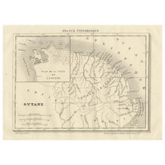
French Guiana and Cayenne: Mid-19th Century Map from France Pittoresque Series

French Guiana and Cayenne: Mid-19th Century Map from France Pittoresque Series

Located in Langweer, NL

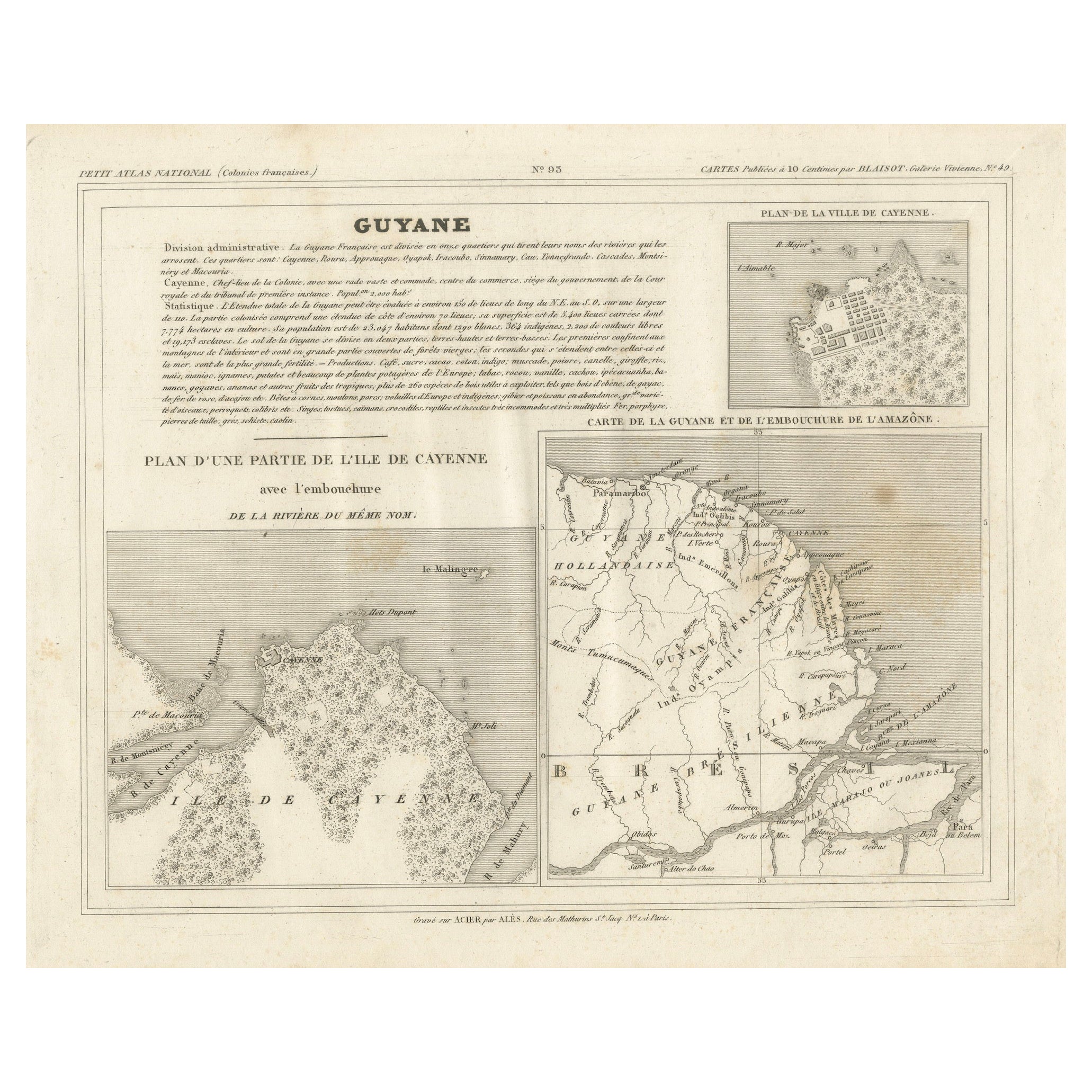
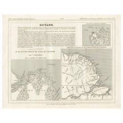
This map titled "Guyane" is part of the France Pittoresque series and provides a detailed view of French Guiana along with a plan of the city of Cayenne. Features: - The map showcases the broader region of French Guiana, indicating key rivers, settlements, and the coastline along the Atlantic Ocean. - To the left, there's an inset labeled "Plan de la Ville de Cayenne", which shows the street layout, squares, and main buildings of the capital city, Cayenne. This inset provides a more detailed view of the urban area, highlighting its geometric grid layout near the coast. - The larger map outlines geographical features such as rivers (e.g., Oyapock and Maroni), forests, and territories in the surrounding area, including the neighboring Brazilian Empire...

Category

Antique 1850s Maps

Materials

Paper

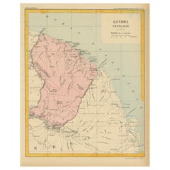
Map of French Guiana: 19th Century Atlas National Depiction of Guyane Française

Map of French Guiana: 19th Century Atlas National Depiction of Guyane Française

Located in Langweer, NL

The map is titled "Guyane Française" (French Guiana) and is part of the Atlas National series. Here are the key details: Features: - The map focuses on French Guiana, a French overs...

Category

Antique 1890s Maps

Materials

Paper

Map of French Guiana, Suriname and Cayenne: Plan from Petit Atlas National, 1820

Map of French Guiana, Suriname and Cayenne: Plan from Petit Atlas National, 1820

Located in Langweer, NL

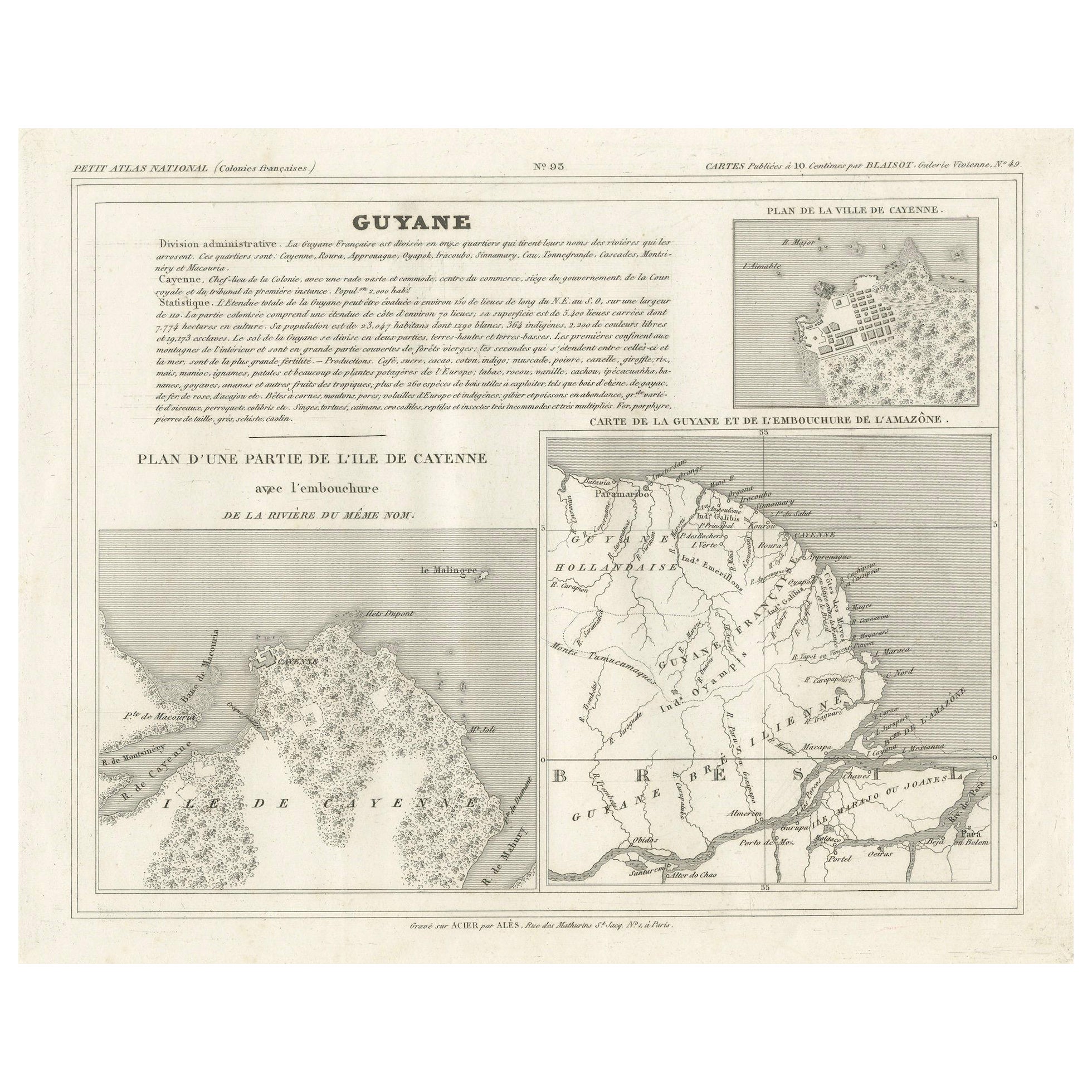
This map, titled "Guyane" (French Guiana), is part of the Petit Atlas National series, focusing on French colonies. Here are the key elements of the map and its context: Features: -...

Category

Antique 1820s Maps

Materials

Paper

French Guiana & Suriname – Rigobert Bonne’s Colonial Map of the Guianas, c.1780

French Guiana & Suriname – Rigobert Bonne’s Colonial Map of the Guianas, c.1780

Located in Langweer, NL

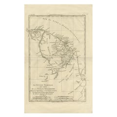
The Caribbean & Gulf of Mexico – Rigobert Bonne’s Antilles Map, c.1780 Description: This detailed late 18th-century map depicts the Caribbean region and the Gulf of Mexico at a moment of intense colonial, commercial, and maritime activity. Engraved around 1780 by the distinguished French cartographer Rigobert Bonne, the map reflects the Enlightenment emphasis on clarity, accuracy, and practical geographic knowledge. This original antique engraving is offered unframed, enabling custom framing to personal or interior preferences. The map encompasses the Antilles in their full extent, including Cuba, Hispaniola (Saint-Domingue), Jamaica, Puerto Rico, the Lesser Antilles, and the Virgin Islands, together with the surrounding mainland coastlines of Florida, New Spain (Mexico), Central America, and northern South America. The Gulf of Mexico is shown in detail, with clearly articulated coastlines, river mouths, ports, and settlements that underline the strategic importance of the region for European naval powers. An inset map of Bermuda appears in the upper right, emphasizing its role as a key Atlantic outpost. The Tropic of Cancer is marked, and a structured coordinate grid reinforces the scientific intent of the composition. Shaded sea areas and fine engraved hachures provide visual depth while maintaining the restrained, analytical aesthetic for which Bonne is known. As Hydrographer to the French Navy, Bonne synthesized the latest geographic intelligence into maps intended for navigation, administration, and strategic planning. This sheet illustrates the Caribbean world shortly before major geopolitical changes, including the later phases of colonial rivalry and the transformative events of the late 18th and early 19th centuries. Today, such maps are valued for both their historical insight and their balanced, elegant appearance. This example is particularly attractive to collectors of Caribbean and colonial American cartography, maritime history, and Enlightenment-era maps. Its expansive scope and refined engraving also make it a strong decorative piece, suitable for libraries, studies, or contemporary interiors seeking a historically grounded focal point. Condition report: Good condition. Light age toning throughout with small scattered spots and minor handling marks consistent with age. Central fold visible as issued. Plate mark present. Framing tips: A wide off-white or soft ivory mat will enhance the engraved detail and provide visual balance. A dark walnut, blackened wood, or subtle antique gilt frame complements the map’s scholarly and maritime character and works well in both classic and modern interiors. Keyword block: Antique Caribbean map...

Category

Antique Late 18th Century French Maps
Materials

Paper

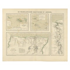
Suriname & the Dutch Antilles – Colonial Atlas Map by W.J. Thieme, c.1905

Suriname & the Dutch Antilles – Colonial Atlas Map by W.J. Thieme, c.1905

Located in Langweer, NL

Suriname & the Dutch Antilles – Colonial Atlas Map by W.J. Thieme, c.1905 This highly detailed antique Dutch colonial atlas map depicts Suriname together with the Dutch possessions ...

Category

Early 20th Century Dutch Prints

Materials

Paper

You May Also Like

Large Original Antique Map of The Leeward Islands. 1894

Large Original Antique Map of The Leeward Islands. 1894

Located in St Annes, Lancashire

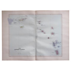
Superb Antique map of The Leeward Islands Published Edward Stanford, Charing Cross, London 1894 Original colour Good condition Unframed. Free shipping

Category

Antique 1890s English Maps

Materials

Paper

Map Colonies Francaises Martinique, 1845

Map Colonies Francaises Martinique, 1845

Located in BUNGAY, SUFFOLK

Colonies Francaises, Martinique, Amerique DU SUD Geographie et Statistique par V.Levasseur. Ing'r Geographe. Illustre par Raymond Bonheur, peintre. Grave par Laguihermie, Rue St...

Category

Antique 19th Century French Maps
Materials

Paper

Original Antique Decorative Map of South America-West Coast, Fullarton, C.1870

Original Antique Decorative Map of South America-West Coast, Fullarton, C.1870

Located in St Annes, Lancashire

Great map of Chili, Peru and part of Bolivia Wonderful figural border From the celebrated Royal Illustrated Atlas Lithograph. Original color. Published by Fullarton, Edi...

Category

Antique 1870s Scottish Maps

Materials

Paper

Large Original Antique Map of Java and Borneo, Fullarton, C.1870

Large Original Antique Map of Java and Borneo, Fullarton, C.1870

Located in St Annes, Lancashire

Great map of Java and Borneo Wonderful figurative borders From the celebrated Royal Illustrated Atlas Lithograph. Original color. Published by Fullarton, Edinburgh. C.1870 Unfr...

Category

Antique 1870s Scottish Maps

Materials

Paper

Africa. North-West Part. Century Atlas antique vintage map

Africa. North-West Part. Century Atlas antique vintage map

Located in Melbourne, Victoria

'The Century Atlas. Africa. Southern Part' Original antique map, 1903. Central fold as issued. Map name and number printed on the reverse corners. Sheet 40cm by 29.5cm.

Category

Early 20th Century Victorian More Prints

Materials

Lithograph

Map Of Martinique - Etching - 19th Century

Map Of Martinique - Etching - 19th Century

Located in Roma, IT

Map Of Martinique is an etching realized by an anonymous engraver of the 19th Century. Printed within the series "France Pittoresque" at the top center. The state of preservation o...

Category

19th Century Modern Figurative Prints

Materials

Etching