Want more images or videos?
Request additional images or videos from the seller
1 of 14

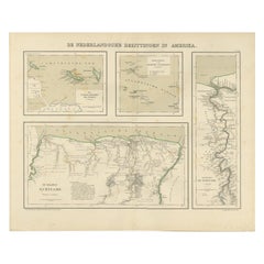
Suriname, Curaçao & Dutch Guinea – Jacob Kuyper Colonial Atlas Map, 1882

$464.60
£341.27
€390VAT Included
CA$641.12
A$652.59
CHF 371.47
MX$7,877.25
NOK 4,331.51
SEK 4,383.74
DKK 2,973.78

About the Item

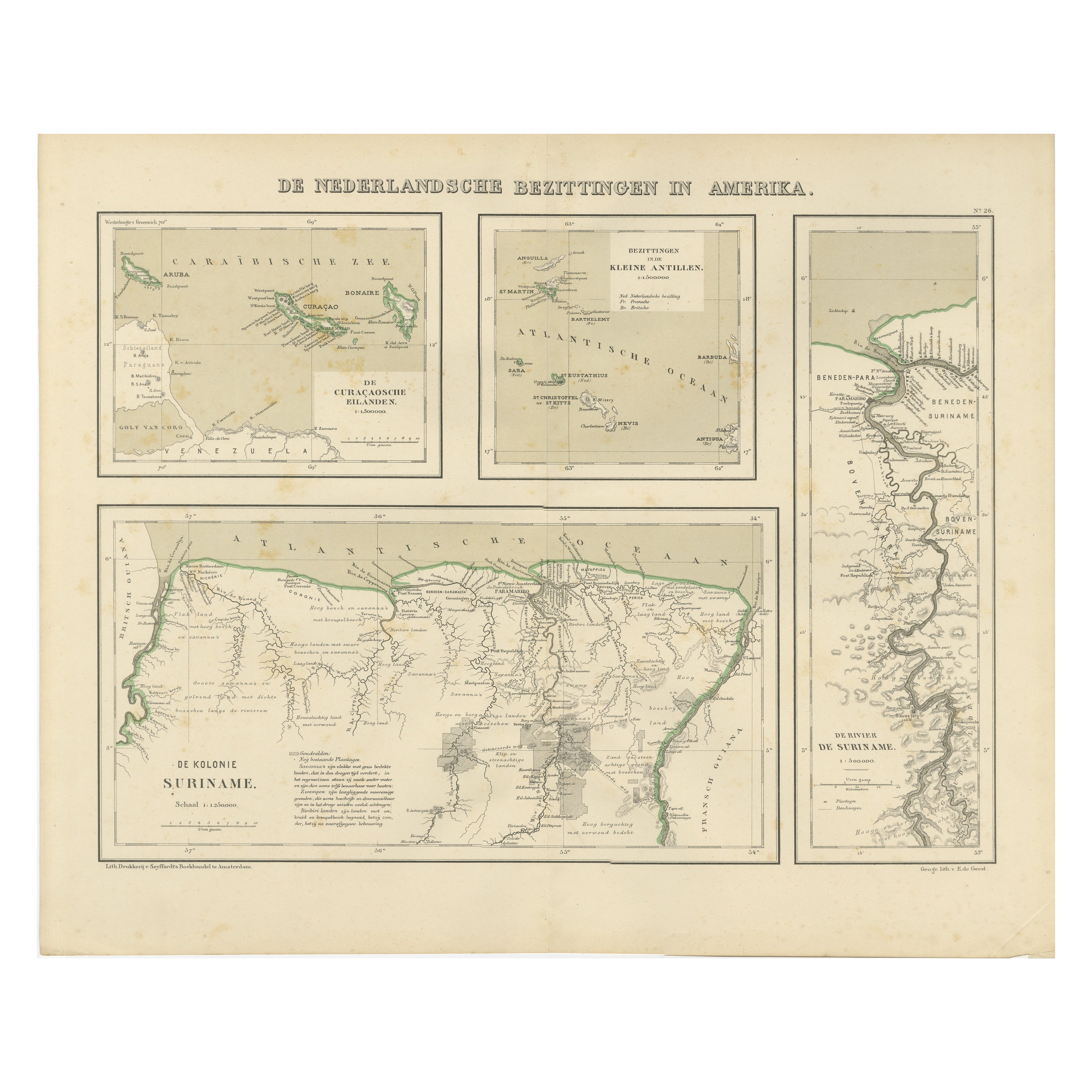
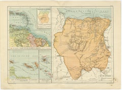
Suriname, Curaçao & Dutch Guinea – Jacob Kuyper Colonial Atlas Map, 1882 This finely detailed antique Dutch colonial map titled Nederlandsche Bezittingen in West-Indie en ter Kuste van Guinea (“Dutch Possessions in the West Indies and on the Coast of Guinea”) was published in 1882 as plate No. XIV from the celebrated Schoolatlas van de Geheele Aarde by the renowned Dutch cartographer Jacob Kuyper. The map provides a fascinating overview of the Dutch colonial empire in the Caribbean, South America, and West Africa during the late 19th century. The large central map focuses on Suriname, depicting rivers, plantations, settlements, forests, and inland terrain with remarkable precision. Borders with British Guiana and French Guiana are clearly indicated, while the dense river network emphasizes the colony’s economic dependence on plantation agriculture and river transport. Three inset maps below illustrate additional Dutch colonial territories: * Curaçao, Aruba, and Bonaire, * the Dutch Antilles including St. Eustatius, Saba, and St. Martin, * and the Dutch possessions along the Guinea Coast in West Africa. These inset maps create an unusually comprehensive visual overview of the Dutch overseas colonial network during the height of European imperial expansion. Jacob Kuyper was among the most important Dutch cartographers of the 19th century, known for producing highly accurate and visually elegant educational atlases. His maps were widely used in Dutch schools and institutions and are admired today for their clarity, refined engraving style, and historical significance. The atlas was published by the prominent Groningen publisher J.B. Wolters, whose educational works became standard references throughout the Netherlands. The restrained original outline coloring and balanced multi-map composition make this sheet especially decorative. It appeals strongly to collectors of Suriname, Curaçao, Caribbean cartography, Dutch colonial history, and West African historical geography. Special note: This is an original antique atlas map, not a reproduction. All items we offer are authentic period works of art over 100 years old. The map is sold unframed; any framed images are shown for presentation and interior inspiration only and may not always be to scale with the original. Condition report: Overall in good antique condition with age-related toning and light handling wear consistent with atlas maps from the period. Original fold lines as issued. Minor foxing and marginal wear visible. Original outline coloring remains attractive and well preserved. Please study the image carefully. Framing tips: This map displays beautifully in dark walnut, black lacquer, or lightly gilt frames paired with wide ivory mats. Its combination of Caribbean, South American, and African geography makes it especially suitable for studies, libraries, maritime interiors, or collections focused on Dutch colonial history. Technique: Lithographic atlas map with original outline color Maker: Jacob Kuyper, published by J.B. Wolters, Groningen, 1882
  • Dimensions:
    Height: 10.12 in (25.7 cm)Width: 15.75 in (40 cm)Depth: 0.01 in (0.2 mm)
  • Materials and Techniques:
  • Place of Origin:
  • Period:
  • Date of Manufacture:
    1882
  • Condition:
    Overall in good antique condition with age-related toning and light handling wear consistent with atlas maps from the period. Original fold lines as issued. Minor foxing and marginal wear visible. Original outline coloring remains attractive.
  • Seller Location:
    Langweer, NL
  • Reference Number:
    Seller: BG-14293-11stDibs: LU3054350149002

More From This Seller

View All
Suriname & the Dutch Antilles – Colonial Atlas Map by W.J. Thieme, c.1905

Suriname & the Dutch Antilles – Colonial Atlas Map by W.J. Thieme, c.1905

Located in Langweer, NL

Suriname & the Dutch Antilles – Colonial Atlas Map by W.J. Thieme, c.1905 This highly detailed antique Dutch colonial atlas map depicts Suriname together with the Dutch possessions ...

Category

Early 20th Century Dutch Prints

Materials

Paper

Antique Engraved Map with Original Hand Colour of French Guiana, 1876

Antique Engraved Map with Original Hand Colour of French Guiana, 1876

Located in Langweer, NL

The 1876 map of French Guiana from the "Grand Atlas Départemental de la France de L'Algérie et des colonies" by H. Fisquet, published by A. Le Vasseur in Paris, is a significant piec...

Category

Antique Late 19th Century Maps

Materials

Paper

1880 Map of the Caribbean and Central America by Adolf Stieler

1880 Map of the Caribbean and Central America by Adolf Stieler

Located in Langweer, NL

This is a detailed map titled "West-Indien und Central-Amerika," created by Adolf Stieler and published in Gotha in 1880. The map covers the Caribbean islands and the Central America...

Category

Antique 1880s Maps

Materials

Paper

Authentique Map by Pilon of The French Colonies in The West Indies, 1876

Authentique Map by Pilon of The French Colonies in The West Indies, 1876

Located in Langweer, NL

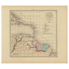
The 1876 map titled "Carte des Colonies Françaises aux Antilles" represents a significant contribution to cartography within the "Grand Atlas Départemental de la France de L'Algérie ...

Category

Antique Late 19th Century Maps

Materials

Paper

French Guiana & Suriname – Rigobert Bonne’s Colonial Map of the Guianas, c.1780

French Guiana & Suriname – Rigobert Bonne’s Colonial Map of the Guianas, c.1780

Located in Langweer, NL

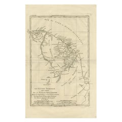
The Caribbean & Gulf of Mexico – Rigobert Bonne’s Antilles Map, c.1780 Description: This detailed late 18th-century map depicts the Caribbean region and the Gulf of Mexico at a moment of intense colonial, commercial, and maritime activity. Engraved around 1780 by the distinguished French cartographer Rigobert Bonne, the map reflects the Enlightenment emphasis on clarity, accuracy, and practical geographic knowledge. This original antique engraving is offered unframed, enabling custom framing to personal or interior preferences. The map encompasses the Antilles in their full extent, including Cuba, Hispaniola (Saint-Domingue), Jamaica, Puerto Rico, the Lesser Antilles, and the Virgin Islands, together with the surrounding mainland coastlines of Florida, New Spain (Mexico), Central America, and northern South America. The Gulf of Mexico is shown in detail, with clearly articulated coastlines, river mouths, ports, and settlements that underline the strategic importance of the region for European naval powers. An inset map of Bermuda appears in the upper right, emphasizing its role as a key Atlantic outpost. The Tropic of Cancer is marked, and a structured coordinate grid reinforces the scientific intent of the composition. Shaded sea areas and fine engraved hachures provide visual depth while maintaining the restrained, analytical aesthetic for which Bonne is known. As Hydrographer to the French Navy, Bonne synthesized the latest geographic intelligence into maps intended for navigation, administration, and strategic planning. This sheet illustrates the Caribbean world shortly before major geopolitical changes, including the later phases of colonial rivalry and the transformative events of the late 18th and early 19th centuries. Today, such maps are valued for both their historical insight and their balanced, elegant appearance. This example is particularly attractive to collectors of Caribbean and colonial American cartography, maritime history, and Enlightenment-era maps. Its expansive scope and refined engraving also make it a strong decorative piece, suitable for libraries, studies, or contemporary interiors seeking a historically grounded focal point. Condition report: Good condition. Light age toning throughout with small scattered spots and minor handling marks consistent with age. Central fold visible as issued. Plate mark present. Framing tips: A wide off-white or soft ivory mat will enhance the engraved detail and provide visual balance. A dark walnut, blackened wood, or subtle antique gilt frame complements the map’s scholarly and maritime character and works well in both classic and modern interiors. Keyword block: Antique Caribbean map...

Category

Antique Late 18th Century French Maps
Materials

Paper

You May Also Like

Original Antique Map of Central America / Florida, Arrowsmith, 1820

Original Antique Map of Central America / Florida, Arrowsmith, 1820

Located in St Annes, Lancashire

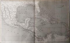
Great map of Central America. Drawn under the direction of Arrowsmith. Copper-plate engraving. Published by Longman, Hurst, Rees, Orme and Brown, 1820 Unframed.

Category

Antique 1820s English Maps

Materials

Paper

Map Colonies Francaises Martinique, 1845

Map Colonies Francaises Martinique, 1845

Located in BUNGAY, SUFFOLK

Colonies Francaises, Martinique, Amerique DU SUD Geographie et Statistique par V.Levasseur. Ing'r Geographe. Illustre par Raymond Bonheur, peintre. Grave par Laguihermie, Rue St...

Category

Antique 19th Century French Maps
Materials

Paper

West Africa Entitled "Guinea Propria": An 18th Century Hand Colored Homann Map

West Africa Entitled "Guinea Propria": An 18th Century Hand Colored Homann Map

By Johann Baptist Homann

Located in Alamo, CA

This is a scarce richly hand colored copper plate engraved map of Africa entitled "Guinea Propria, nec non Nigritiae vel Terrae Nigrorum Maxima Pars" by Johann Baptist Homann (1664-1...

Category

Antique Mid-18th Century German Maps

Materials

Paper

Antique Jamaica Map, English, Caribbean, Cartography, Thomas Jefferys, Georgian

Antique Jamaica Map, English, Caribbean, Cartography, Thomas Jefferys, Georgian

Located in Hele, Devon, GB

This is an antique Jamaica map. An English, framed Caribbean island engraving by Thomas Jefferys, dating to the 18th century and later, dated 1794. Excellent Georgian period cartog...

Category

Antique 1790s British Georgian Maps

Materials

Glass, Paper

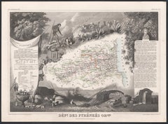
Pyrenees Orientales, France. Antique map of a French department, 1856

Pyrenees Orientales, France. Antique map of a French department, 1856

By Victor Levasseur

Located in Melbourne, Victoria

'Dept. des Pyrenees Orientales', steel engraving with original outline hand-colouring., 1856, from Levasseur's 'Atlas National Illustre'. This area is well-known wine producing reg...

Category

19th Century Naturalistic Landscape Prints

Materials

Engraving