Want more images or videos?
Request additional images or videos from the seller
1 of 10

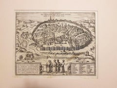
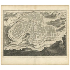
Antique Map of Ancient Jerusalem, depicting The Temple of Solomon, c.1725

$544.81
£403.24
€460VAT Included
CA$753.85
A$756.22
CHF 441.62
MX$9,207.18
NOK 5,071.08
SEK 5,222.43
DKK 3,507.16

About the Item

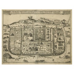
Antique map titled 'Nieuwe Plattegrond van het Oude Jeruzalem Volgens den Schryver.' Bird's-eye view of the ancient city of Jerusalem shows its divisions with prominent depictions of the Temple of Solomon and the royal palace and gardens. The map is oriented with west at top, with the Calvary outside the city walls at top right. This plate originates from: 'Het algemeen groot historisch, oordeelkundig, chronologisch, geografisch, en letterlyk naam- en woord-boek, van den gantschen H. Bijbel. Dienende tot de gedenk-stukken der Jooden en andere oudheden, ter opheldering der H. Schrift ... Nu in't Nederduitsch overgezet, merkelyk vermeerdert, en met aanmerkingen verrykt, door Mattheus Gargon.' and it's additons: 'Byvogzel tot het algemeen groot ... Naam- en woord-boek ... En nu in zuiver Nederduitsch overgezet, merkelyk vermeerdert, en metv aanmerkingen verrykt, door Jakob van Ostade en Arn. Henr. Westerhovius.', by Augustines Calmet, published in Leiden, Amsterdam, by Samuel Luchtmans, R. & J. Wetstein en Smith 1725-1731. This is a reknown encyclopaedic dictionary on all aspects of the history, geography and culture of the Bible and Biblical times. This Dutch translation originates from Calmet's work in French including: 'Commentaire littéral sur tous les livres de l'Ancien et du Nouveau Testament ...', first published in Paris in 1707. Artists and Engravers: Made by 'Antoine Augustin Calmet' after an anonymous artist. Author: Antoine Augustin Calmet (1672-1757), French Benedictine. Translation by: translation by Mattheus Gargon (1661-1728), a minister in Vlissingen. Engravings in this work by A. de Putter, F. van Bleyswyk, M. Pool, Ph. van Gunst, etc. Condition: Good, given age. A few minor crinkles. Small hole right margin. Original middle fold as issued. General age-related toning and/or occasional minor defects from handling. Please study image carefully. Date: c.1725 Overall size: 49.5 x 39.5 cm. Image size: 43 x 31.5 cm.
  • Dimensions:
    Height: 19.49 in (49.5 cm)Width: 15.56 in (39.5 cm)Depth: 0.01 in (0.2 mm)
  • Materials and Techniques:
    Paper,Engraved
  • Place of Origin:
  • Period:
  • Date of Manufacture:
    circa 1725
  • Condition:
    Condition: Good, given age. A few minor crinkles. Small hole right margin. Original middle fold as issued. General age-related toning and/or occasional minor defects from handling. Please study image carefully.
  • Seller Location:
    Langweer, NL
  • Reference Number:
    Seller: PCT-614561stDibs: LU3054326393742

More From This Seller

View All
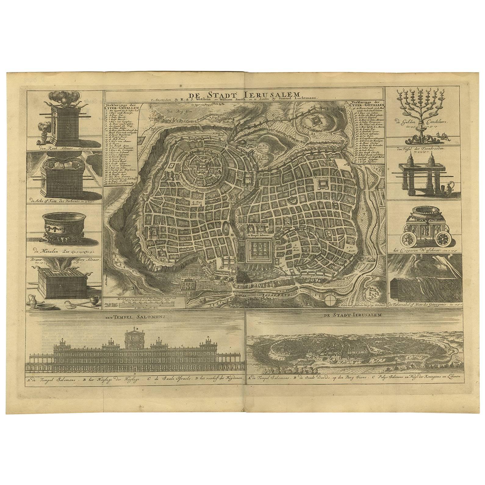
Antique Map of the Ancient City of Jerusalem by A. Calmet, 1725

Antique Map of the Ancient City of Jerusalem by A. Calmet, 1725

Located in Langweer, NL

Antique map, titled: 'Nieuwe Plattegrond van het Oude Jeruzalem Volgens den Schryver.' - Bird's-eye view of the ancient city of Jerusalem shows its divisions with prominent depiction...

Category

Antique Early 18th Century French Prints

Materials

Paper
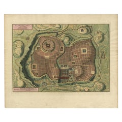
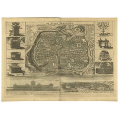
Bird's Eye Plan of the Ancient City of Jerusalem Based on Old Records, c.1725

Bird's Eye Plan of the Ancient City of Jerusalem Based on Old Records, c.1725

Located in Langweer, NL

Antique map titled 'Beschryving van het oude Jeruzalem volgens Villalpandus.' Bird's eye plan of the ancient city of Jerusalem based on Villalpando's foundation map. The plan shows...

Category

Antique Early 18th Century French Maps

Materials

Paper

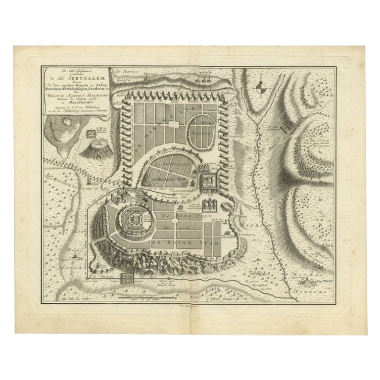
Antique Bible Plan of Ancient Jerusalem, 1743

Antique Bible Plan of Ancient Jerusalem, 1743

Located in Langweer, NL

This plan originates from ‘Biblia Sacra, dat is, de H. Schriftuer van het Oude, en het Nieuwe Testament, naer de laetste Roomsche keure der gemeine Latijnsche overzettinge, in nederd...

Category

Antique Mid-18th Century Maps

Materials

Paper

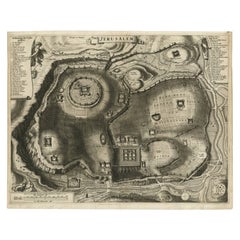
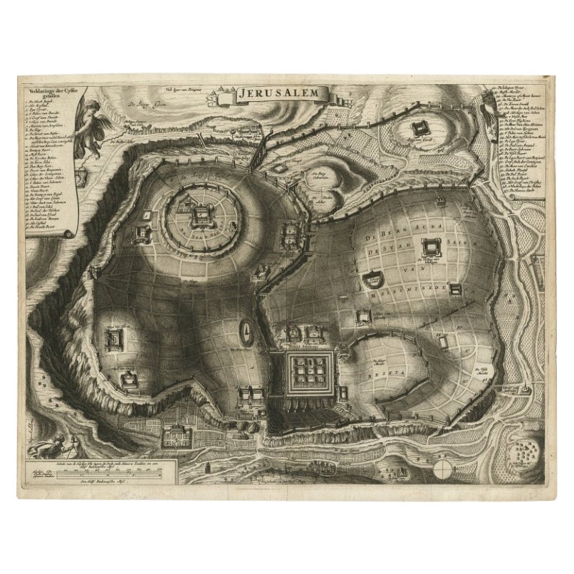
Antique Detailed Map of Jerusalem in Israël with Extensive Key and Scale, 1698

Antique Detailed Map of Jerusalem in Israël with Extensive Key and Scale, 1698

Located in Langweer, NL

Antique map titled 'Jerusalem.' Plan of the ancient city of Jerusalem. With extensive key and scale. Source unknown, to be determined. Artists and Engravers: Made by 'Cornelis de...

Category

Antique 17th Century Dutch Maps

Materials

Paper

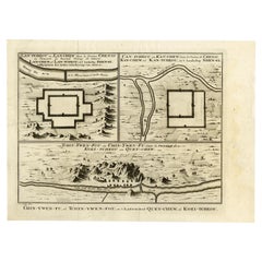
Antique Map of Three Chinese Cities in Chensi and Koei Tcheou, c.1758

Antique Map of Three Chinese Cities in Chensi and Koei Tcheou, c.1758

Located in Langweer, NL

Antique map titled 'Lan-Tcheou ou Lan-Chew dan la province Chensi; Can Tcheou ou Kan-Chew dan la province de Chensi; Tchin-Ywe-Fou ou Chin-Ywen-Fu dans la province de Koei-Tcheou ou Quey-chew.' Three plans of old Chinese cities...

Category

Antique 18th Century Maps

Materials

Paper

You May Also Like

17th Century Toulouse, Savve, Sommieres Topographical Map by Iohan Peeters

17th Century Toulouse, Savve, Sommieres Topographical Map by Iohan Peeters

Located in New York, NY

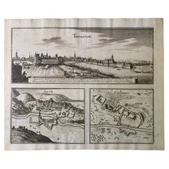
Fine topographical 17th century map of Toulouse, Savve and Sommieres by Iohan Peeters Beautiful engraving of the capital of France's Occitanie Region, Toulouse, called La Ville Rose- the Pink City, for the terracotta bricks used in its many buildings, giving the city a distinct apricot-rose hue. An important cultural and educational center, the city's residents included Nobel Prize winners and world renown artists- Henri de Toulouse-Lautrec, Henri Martin, Jean-Auguste-Dominique Ingres, Antonin Mercie, Alexandre Falguiere and more recently Cyril Kongo...

Category

Antique 17th Century Dutch Maps

Materials

Paper

Original Antique Map or City Plan of Madrid, Spain. Circa 1835

Original Antique Map or City Plan of Madrid, Spain. Circa 1835

Located in St Annes, Lancashire

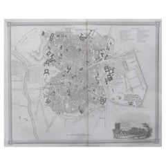
Nice map of Madrid Drawn and engraved by J.Dower Published by Orr & Smith. C.1835 Unframed. Free shipping

Category

Antique 1830s English Maps

Materials

Paper

17th Century Topographical Map of Cote D'azur, Avignon, Frejus by Iohan Peeters

17th Century Topographical Map of Cote D'azur, Avignon, Frejus by Iohan Peeters

Located in New York, NY

Fine topographical 17th century map by Iohan Peeters of the towns of Avignon and Frejus in the Cote d'Azur-Provence-Alpes Region of Southeastern France. Beautifully suited decorativ...

Category

Antique 17th Century Dutch Maps

Materials

Paper