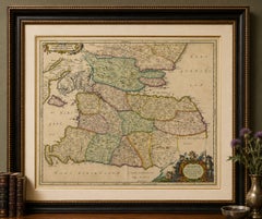
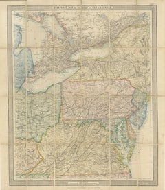
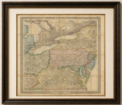
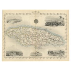
Antique Map of Switzerland, Cantons & Alps, Hand Colored, Blackie, circa 1859
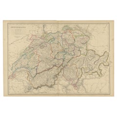
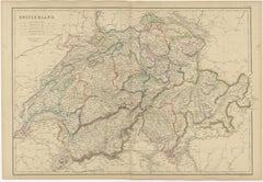
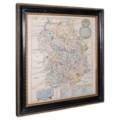
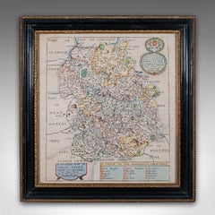
This finely engraved antique map depicts Switzerland in exceptional detail, showing the country divided by cantons with carefully hand-colored boundaries. Mountain ranges, river systems, lakes, towns, and transport routes are meticulously rendered, reflecting mid-19th-century advances in scientific cartography and topographical understanding. The Alpine landscape is shown with particular clarity, making this map both geographically informative and visually striking.
Major cantons such as Bern, Zurich, Lucerne, Vaud, Valais, Ticino, Graubünden, St. Gallen, and Aargau are clearly defined, while important natural features including the Alps, Jura Mountains, Rhine, Rhone, Aare, Reuss, Lake Geneva, Lake Constance, Lake Zurich, and Lake Lucerne are prominently illustrated. The map also shows Switzerland’s borders with France, Germany, Austria, and Italy, situating the country within its broader Central European context.
Published around 1859 by Blackie & Son of Glasgow, Edinburgh, and London, this map originates from a respected British atlas series known for accuracy, clarity, and refined engraving. The restrained original hand coloring enhances legibility without overpowering the intricate line work, resulting in a balanced and elegant presentation.
Both decorative and scholarly, this map is well suited to collectors of Alpine cartography, Swiss history, or 19th-century European maps. It also works beautifully as wall art for libraries, studies, offices, or refined interiors where a sense of place and historical depth is desired.
Condition report:
Good antique condition. Light age toning and minor scattered foxing, mainly in the margins. Central fold as issued. Plate mark visible. No major tears or losses.
Framing tips:
This map benefits from a generous ivory or soft cream mat to emphasize the detailed engraving. A dark walnut, black, or muted antique gold frame complements the hand coloring and lends a classic, library-style appearance.
Technique: Copper engraving with original hand color
Maker: Blackie & Son, Glasgow, Edinburgh & London, circa 1859
Keywords:
antique switzerland map, antique swiss map, switzerland cantons map, swiss cantonal map, alps map, alpine cartography, 19th century map, victorian map, blackie map, blackie and son, british atlas map, hand colored map, copper engraved map, historical cartography, antique wall map, swiss geography, central europe map, european antique map, old world map, vintage cartography, collectible map, library wall art, study decor map, decorative antique map, swiss alps map, rhine river map, rhone river map, lake geneva map, lake constance map, lake zurich map, lake lucerne map, bern canton, zurich canton, lucerne canton, vaud canton, valais canton, ticino canton, graubunden canton, st gallen canton, aargau canton, schwyz, uri, unterwalden, fribourg, neuchatel, solothurn, zug, schaffhausen, basel, jura mountains, alpine passes, swiss history map, antique europe map, mid 19th century atlas, educational wall map, framed antique map...
Category
Mid-19th Century Antique British Maps